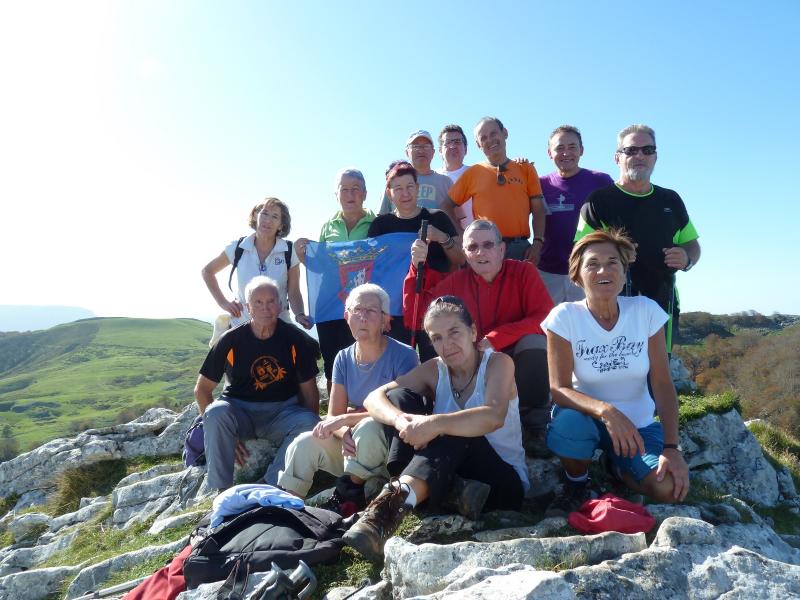
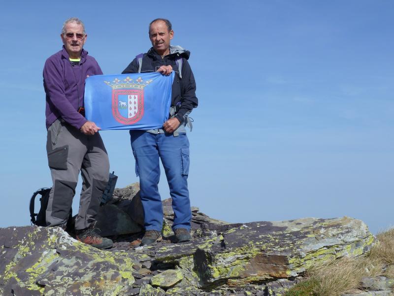
Hola amigos.
Hoy hemos marchado a la finca de Artikutza pues dicen que en el Otoño el colorido de sus bosques es estupendo para hacer fotos pero hoy no ha sido el día, el Otoño aquí aun no ha llegado y además cuando había sacado 10 fotos y un vídeo se me ha acabado la batería de la máquina y cuando la quiero cambiar ¡ HORROR! La batería se me ha perdido por un agujero del bolsillo del pantalón y no he podido hacer más fotos.
ACCESO.
Desde la localidad Guipuzcoana de Oyarzun tomamos la carretera GI-3631 que en unos 16 kilómetros pasando por el alto de Bianditz nos deja en el aparcamiento de Eskax.
ITINERARIO
ESKAX 654 M
ARTIKUTZA 320 M
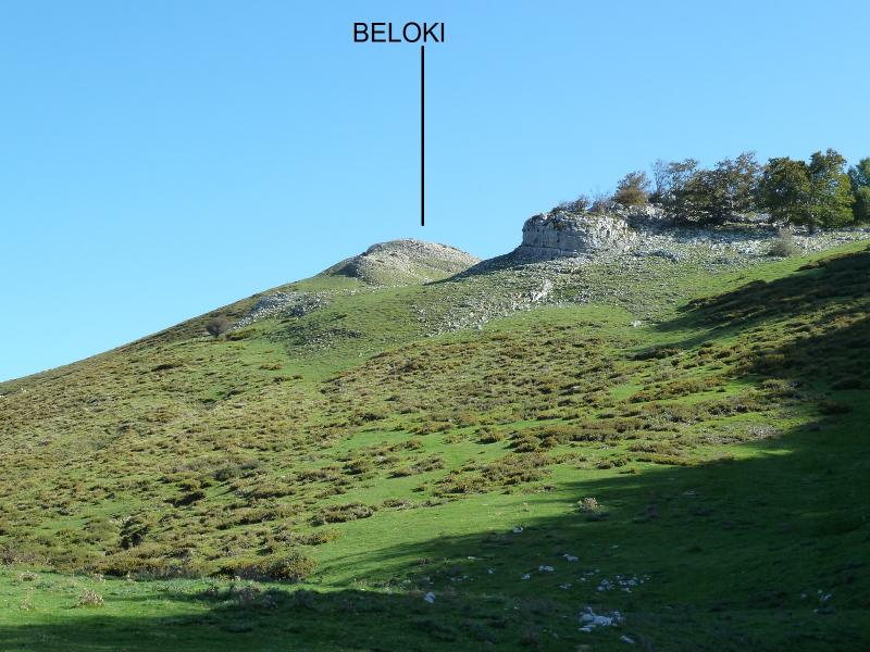
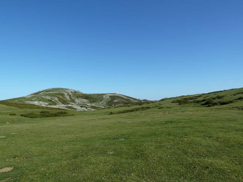
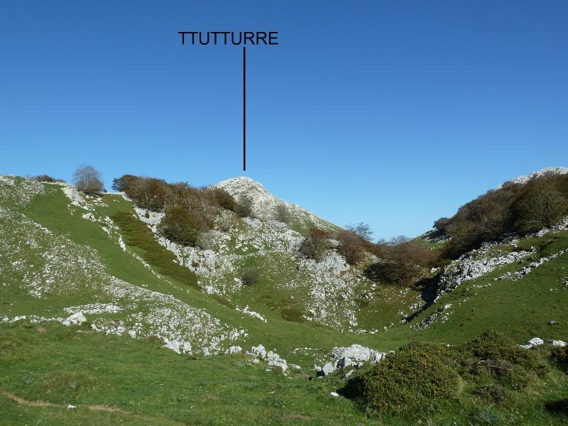
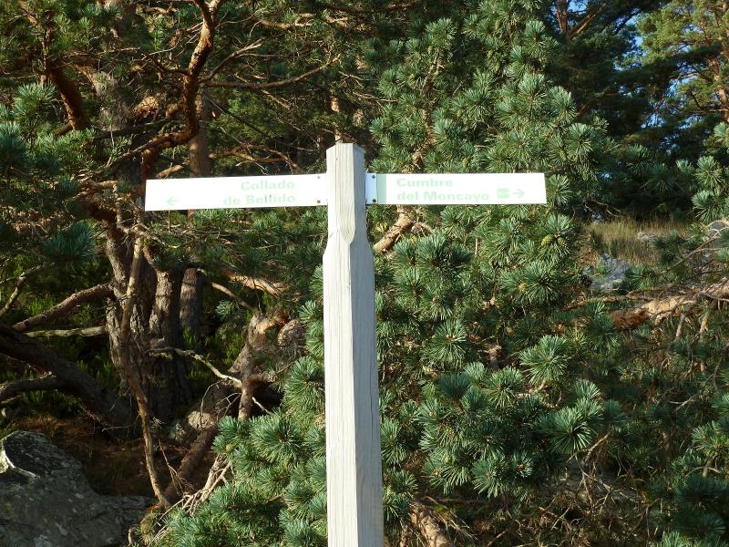
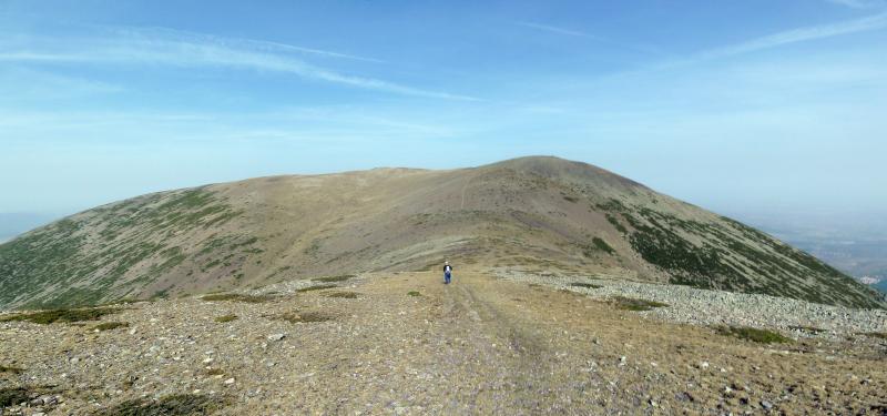
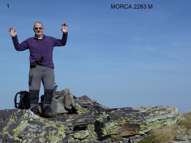
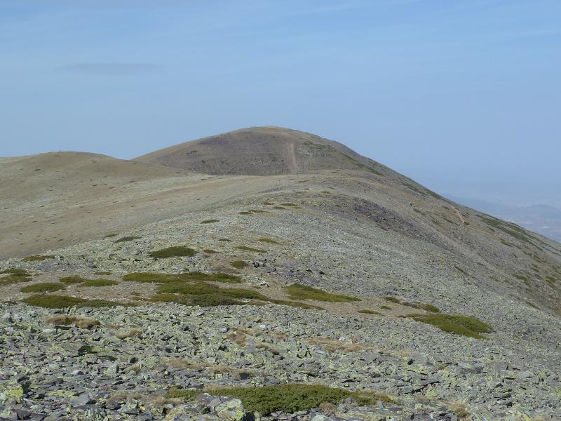
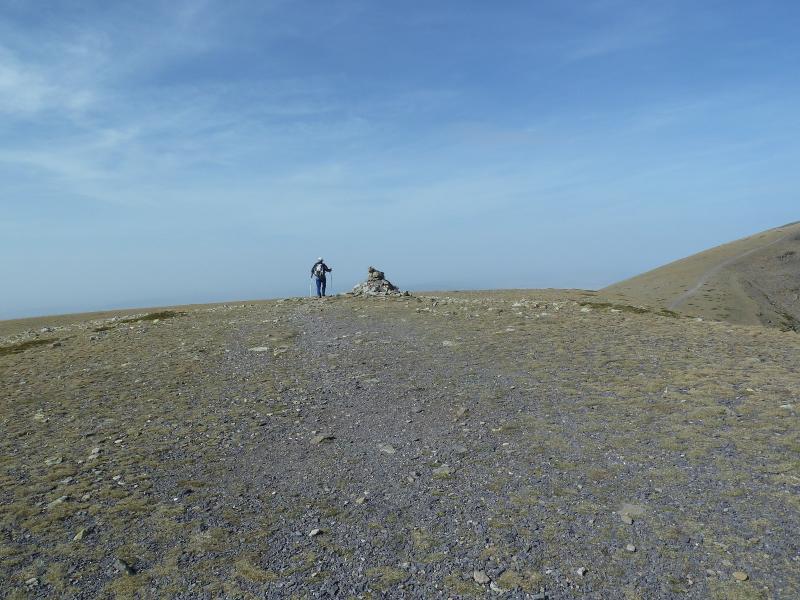
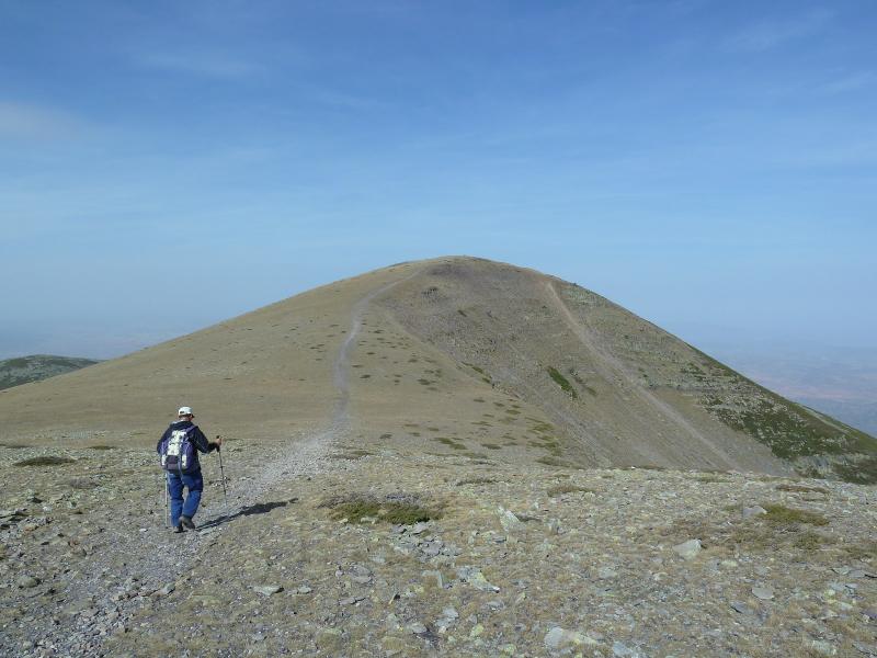
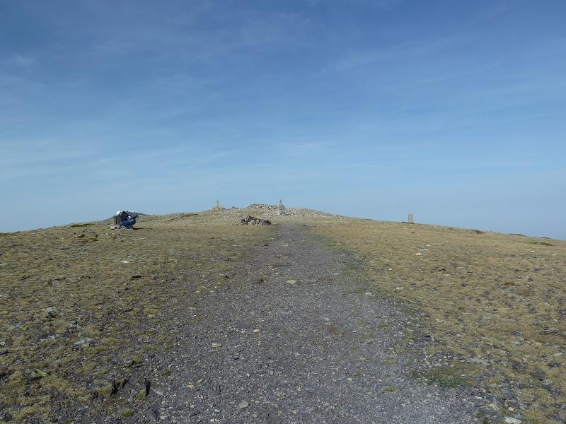
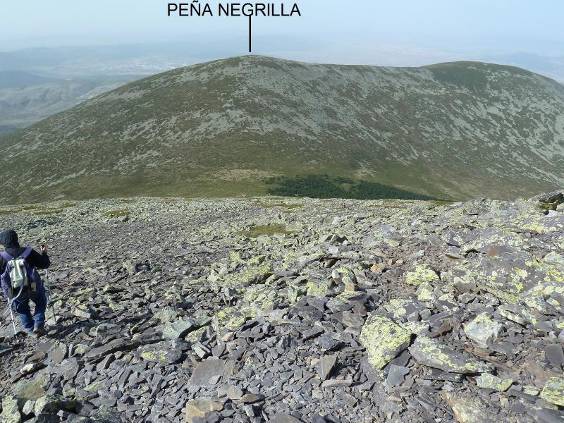
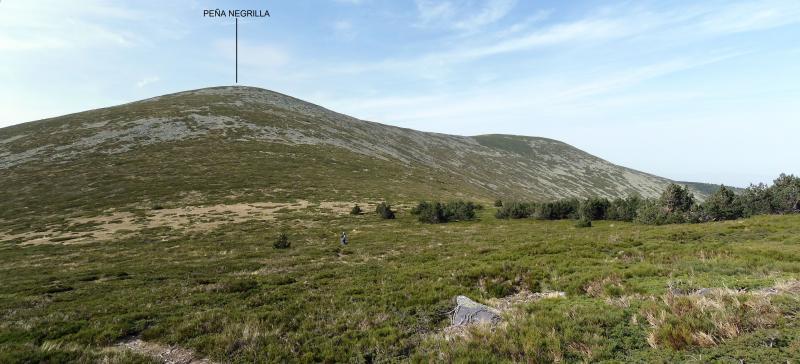
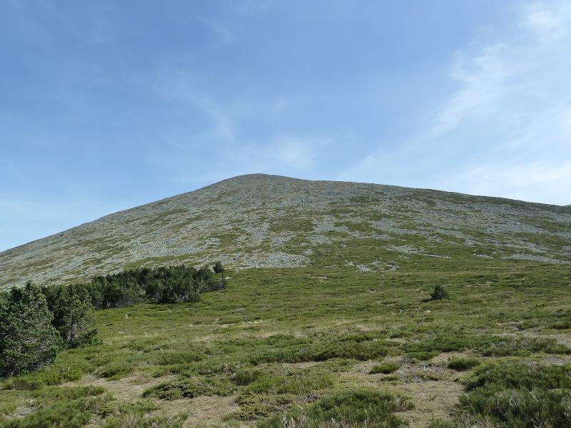
CIMA DE IZU 829 M
CDO DE PAGOLLETA 650 M
CDO DE BURNAIZTIETA 713 M
ESKAX 654 M
DESNIVEL ACUMULADO 809 M
DISTANCIA 16,84 KM
TIEMPO SIN CONTAR PARADAS 4,50 HORAS
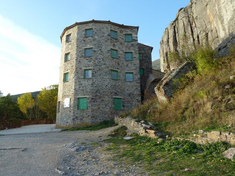
DESCRIPCIÓN
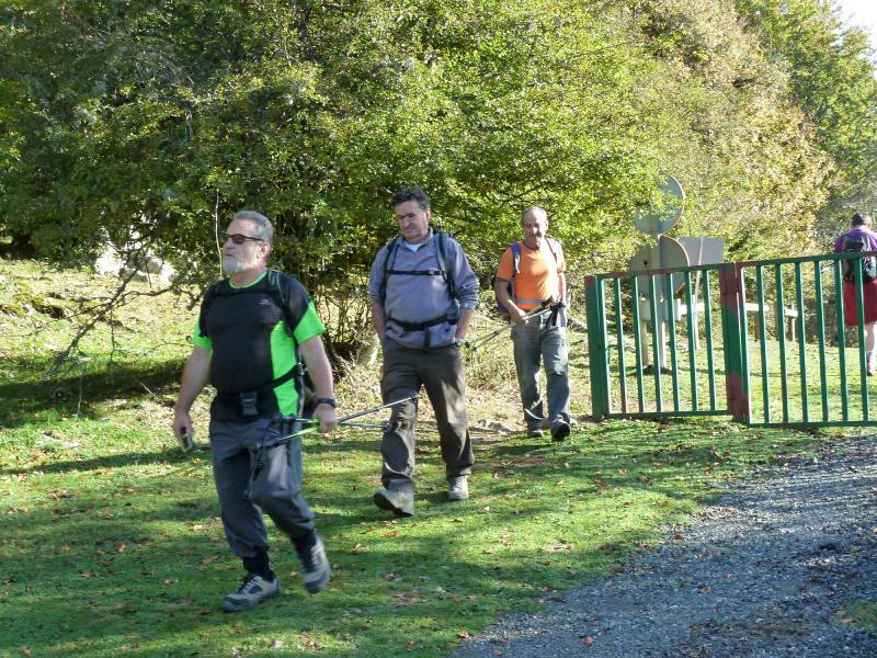
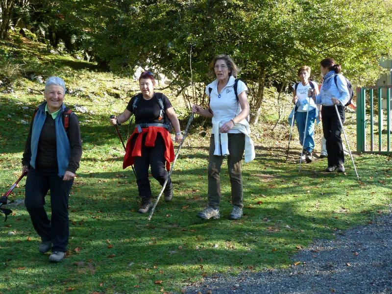
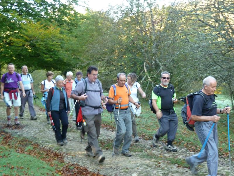
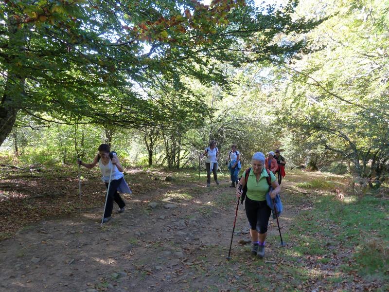
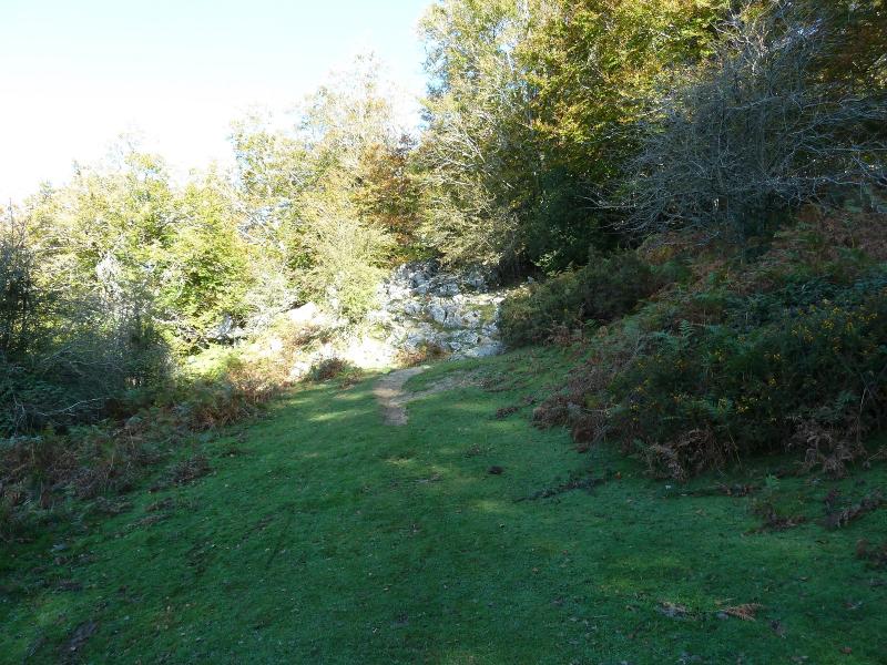
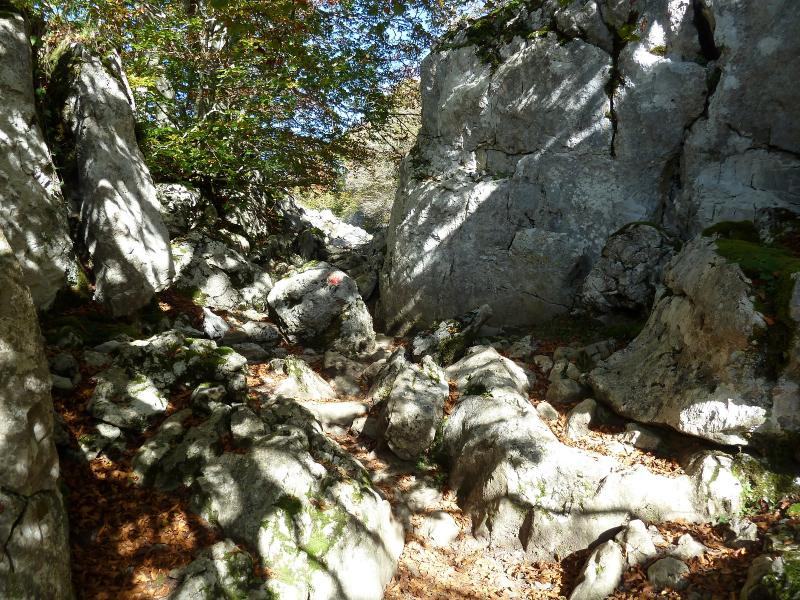
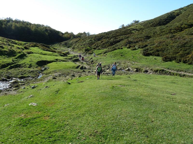
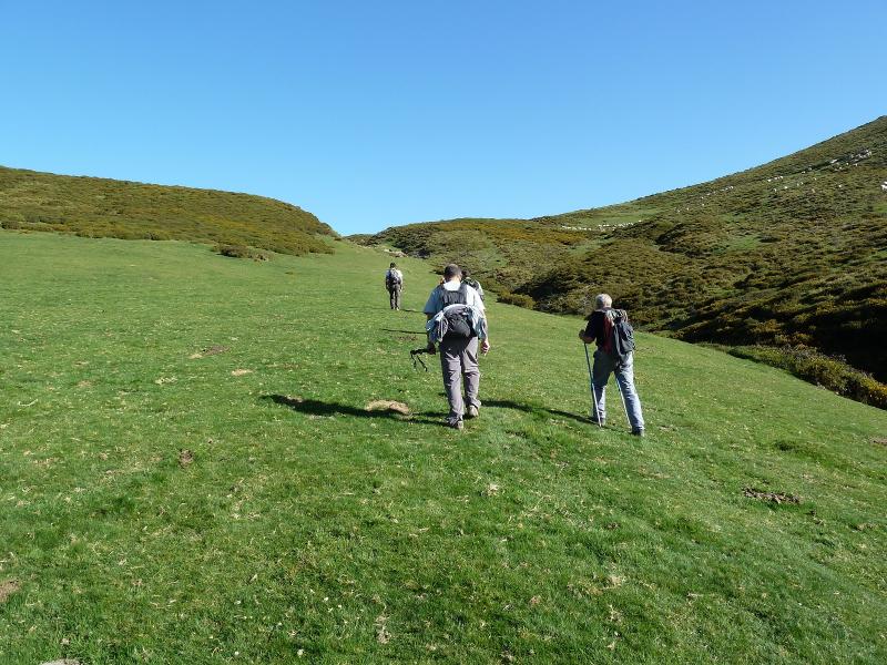
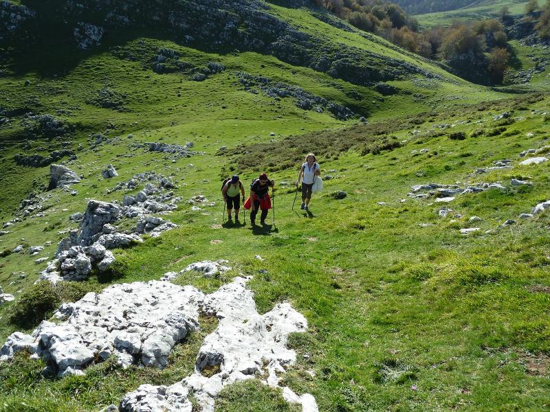
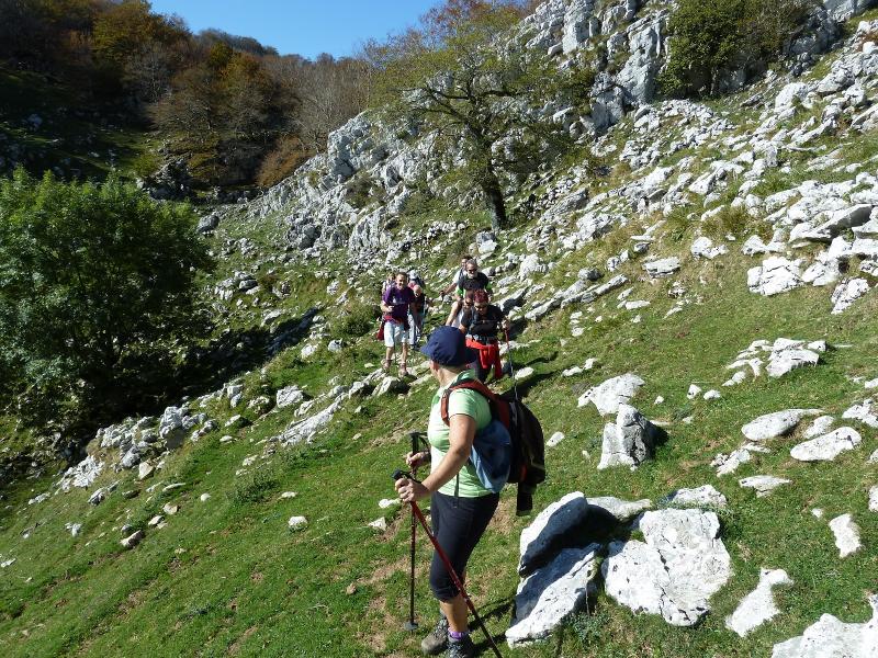
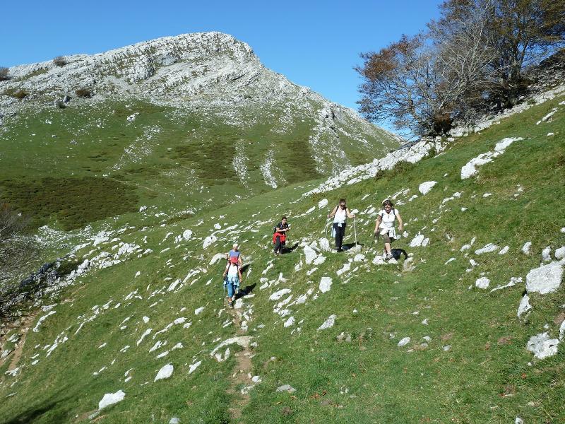
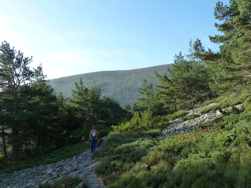
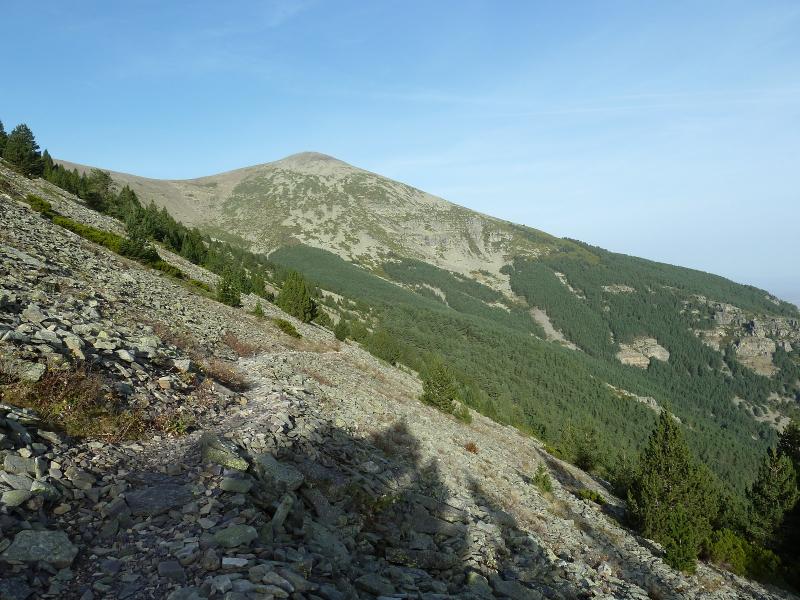
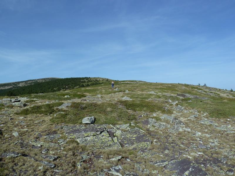
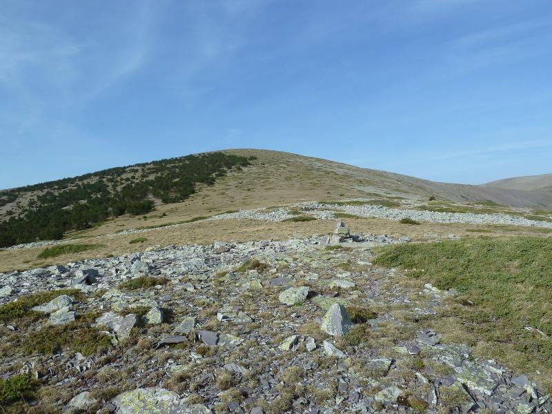
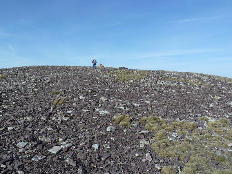
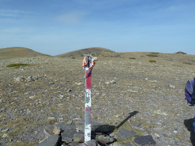
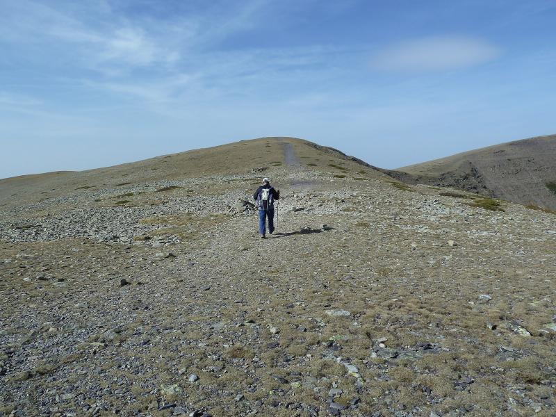
Llegados al aparcamiento cruzamos la valla y bajamos por la carretera y a unos 400 m tomamos por la izquierda el sendero que con marcas amarillas y blancas no llevarán sin pérdida hasta Artikutza pasando por bellos parajes. En el poblado tomamos el camino hacia la cima de Izu donde un poste indicativo y con fuerte desnivel durante 4,5 Km llegamos donde otro poste que nos indica a Pagolleta pero nosotros seguimos de frente a la cima de Izu.
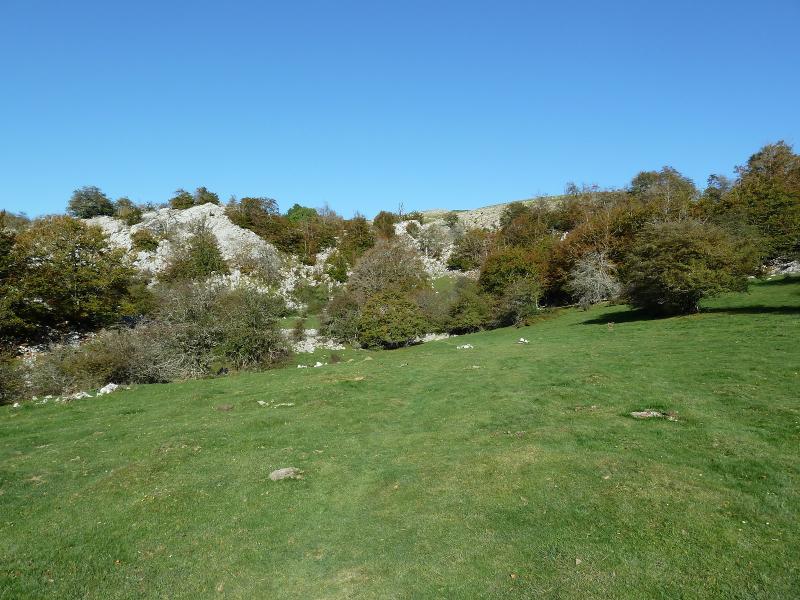
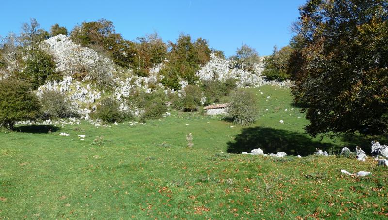
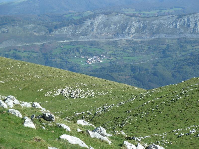
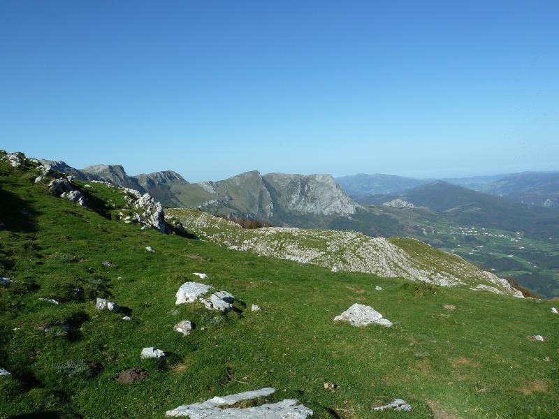
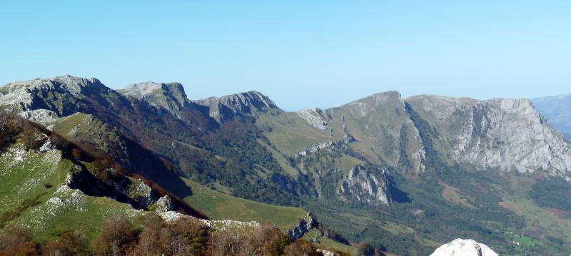
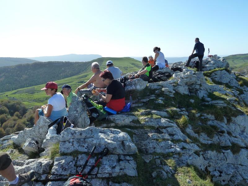
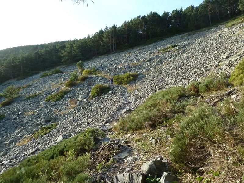
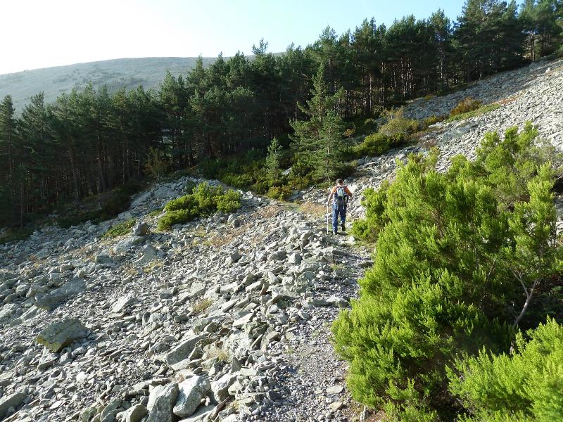
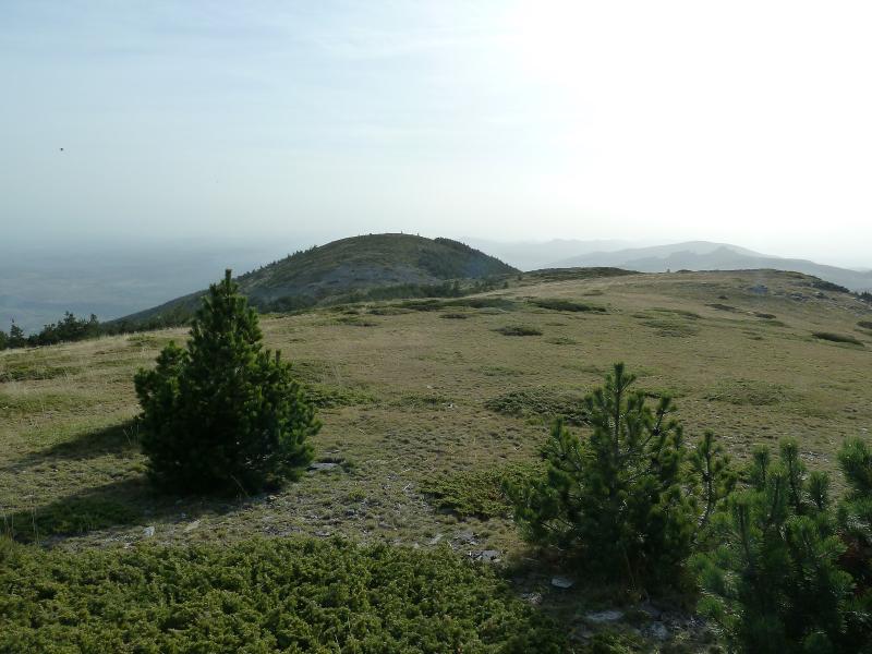
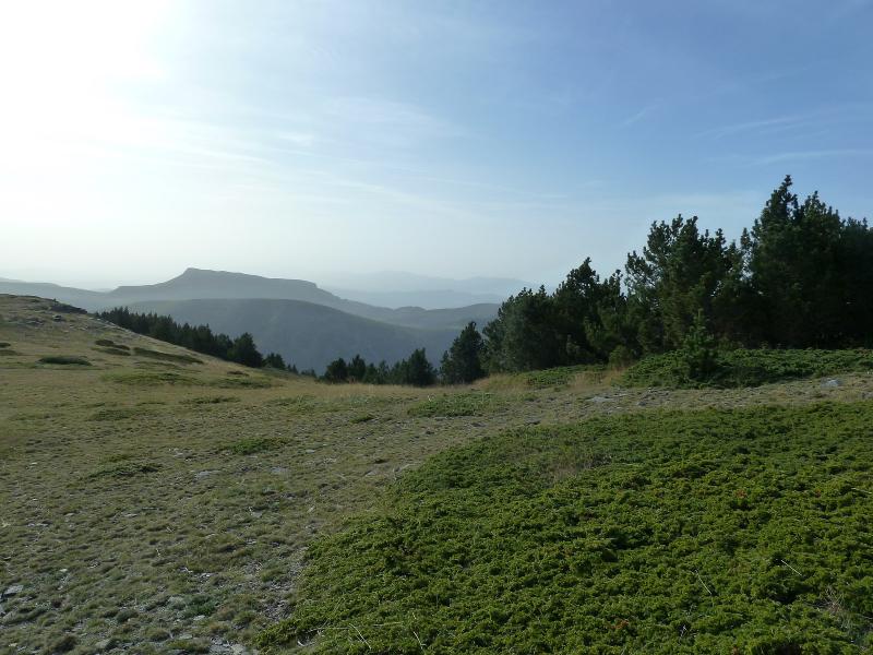
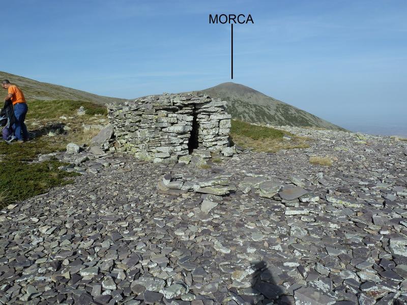
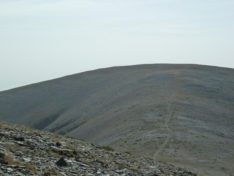
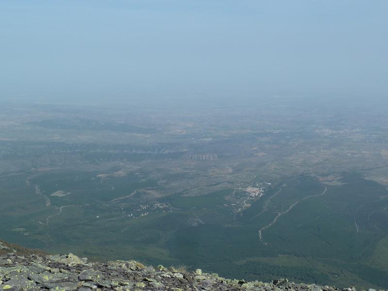
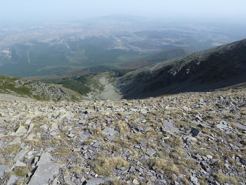
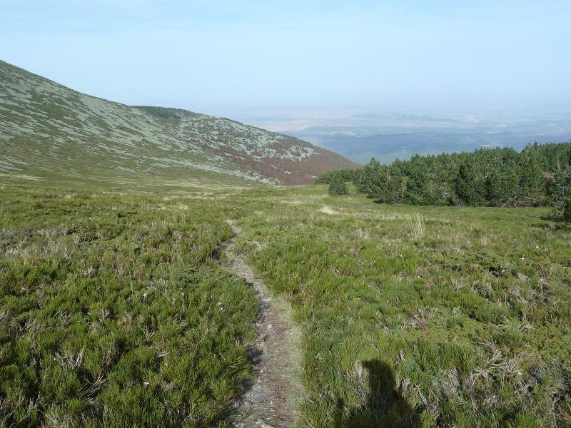
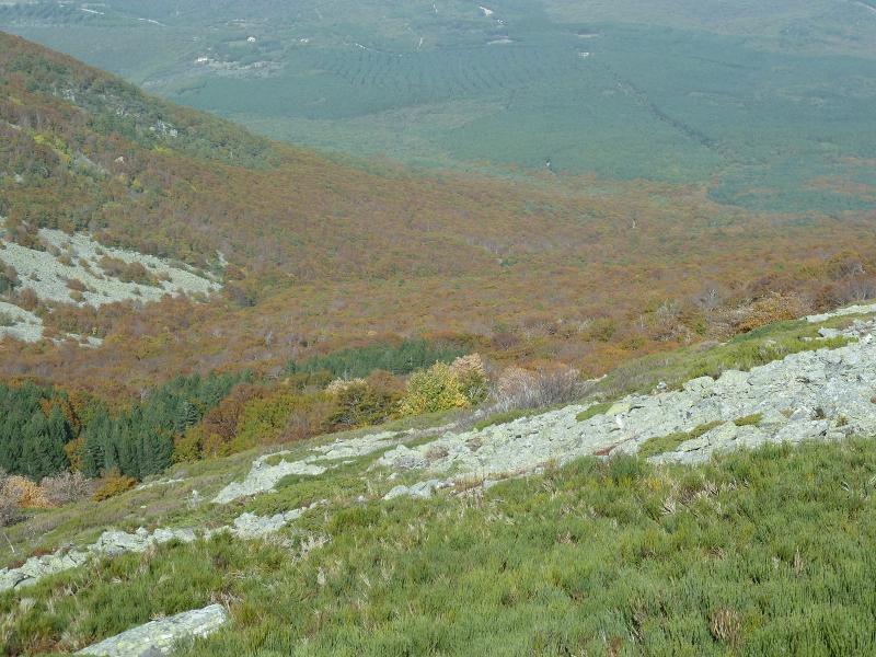
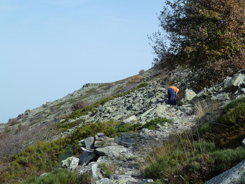
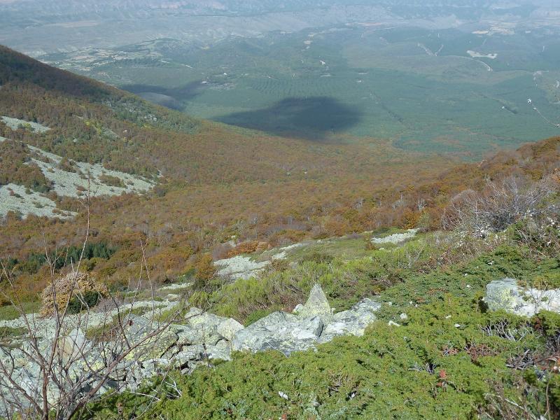
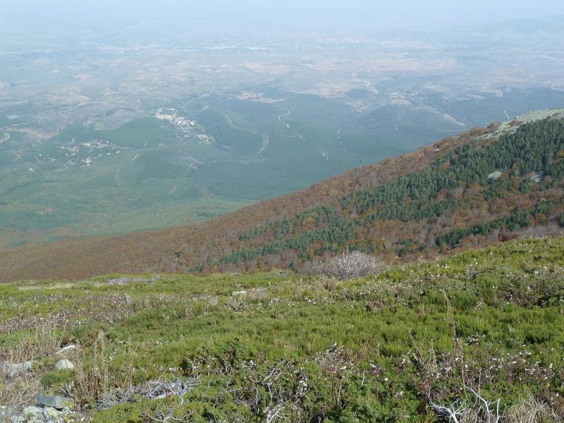
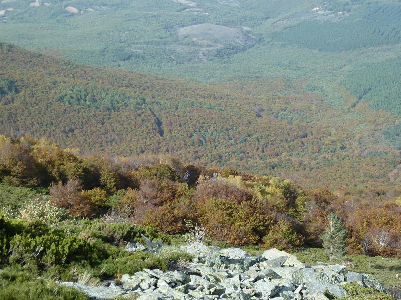
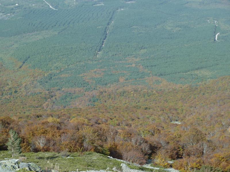
Las vistas son estupendas y yo sin cámara para sacarlas. Ahora seguimos con la alambrada a nuestra izquierda siguiendo las marcas hacia Pagolleta que no lo subimos y pasamos por su ladera hasta el Cdo de Pagolleta donde hacemos una parada para comer.
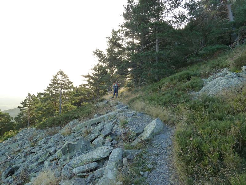
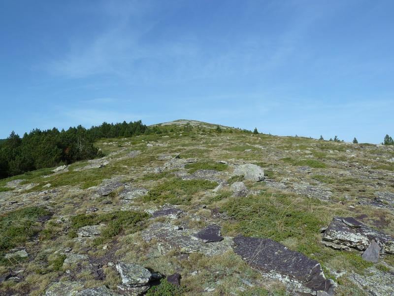
Seguimos y el sendero nos lleva hasta el Cdo de Burnaiztieta donde hay una caseta de cazadores y de aquí por la izquierda a Eskax.
De regreso a casa paradita para hidratar.
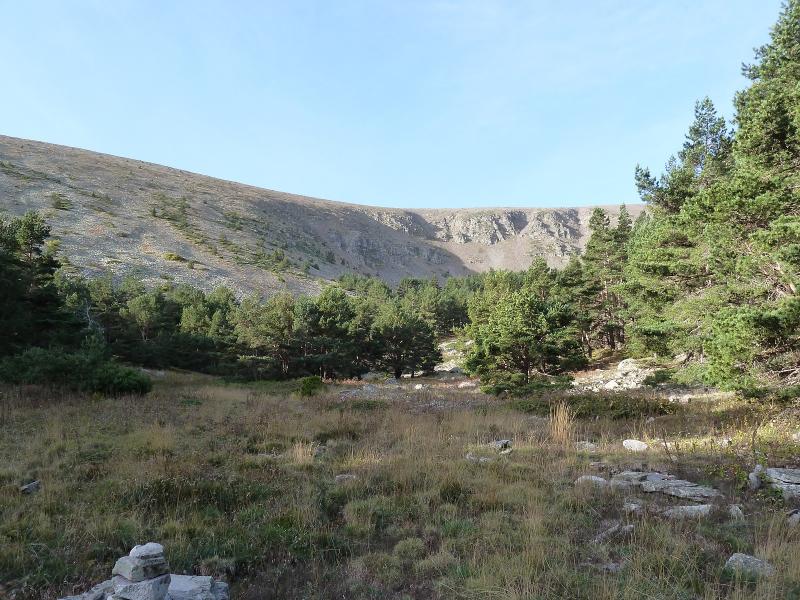
NOTA. Artikutza es el paraje Navarro que más llueve unos 2500 litros al año,hoy estaba como las Bardenas.
EL TRAK. PINCHAR PARA VER
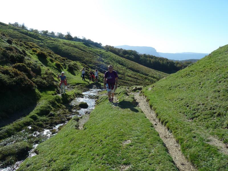
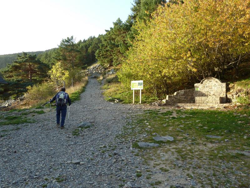
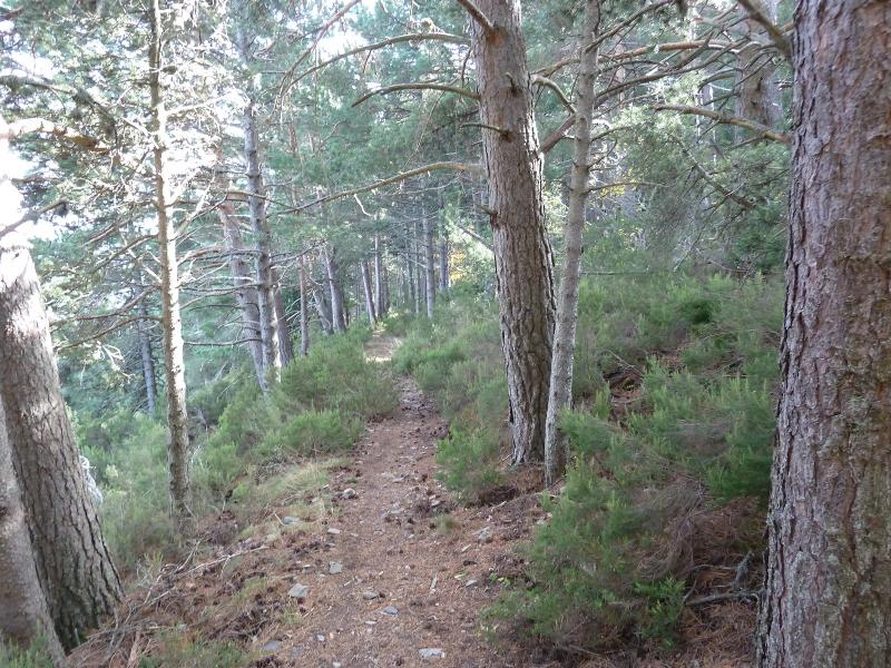
Desde el aparcamiento bajamos por la carretera unos 400 m y nos vamos por la izquierda.
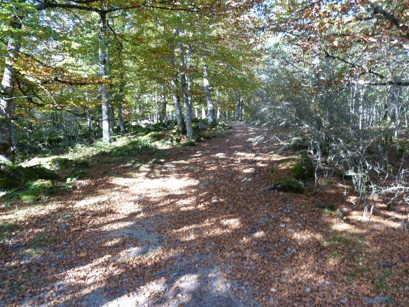
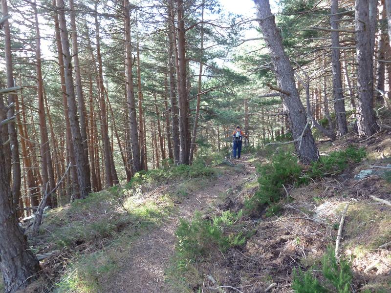
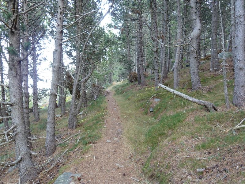
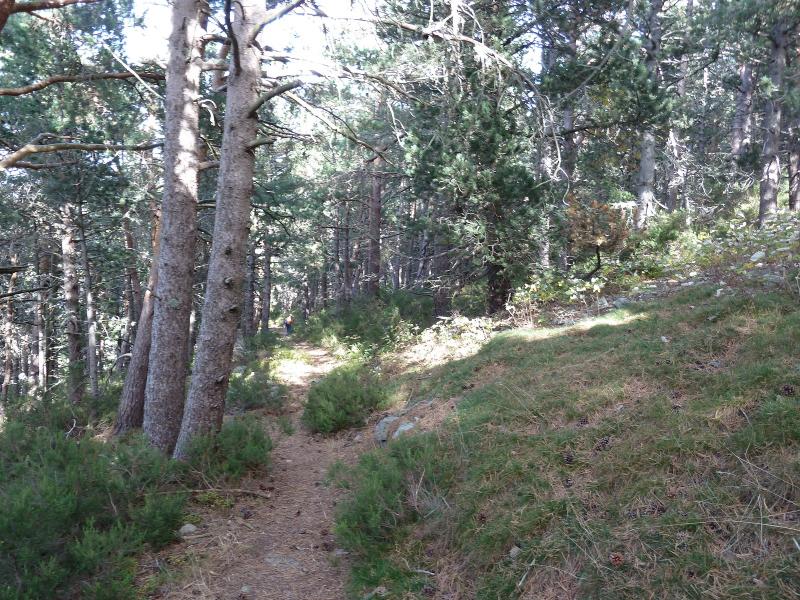
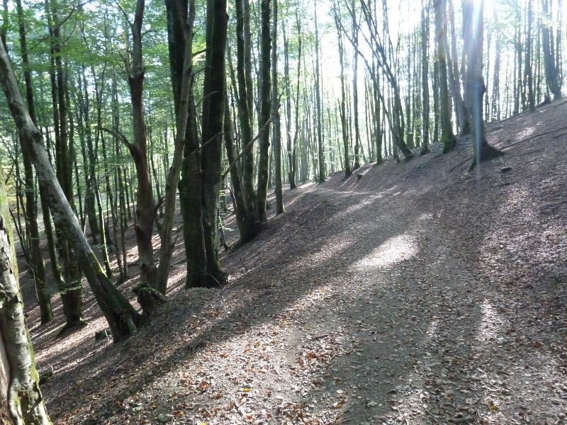
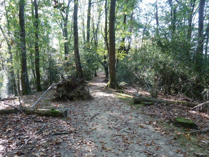
El sendero no tiene pérdida.

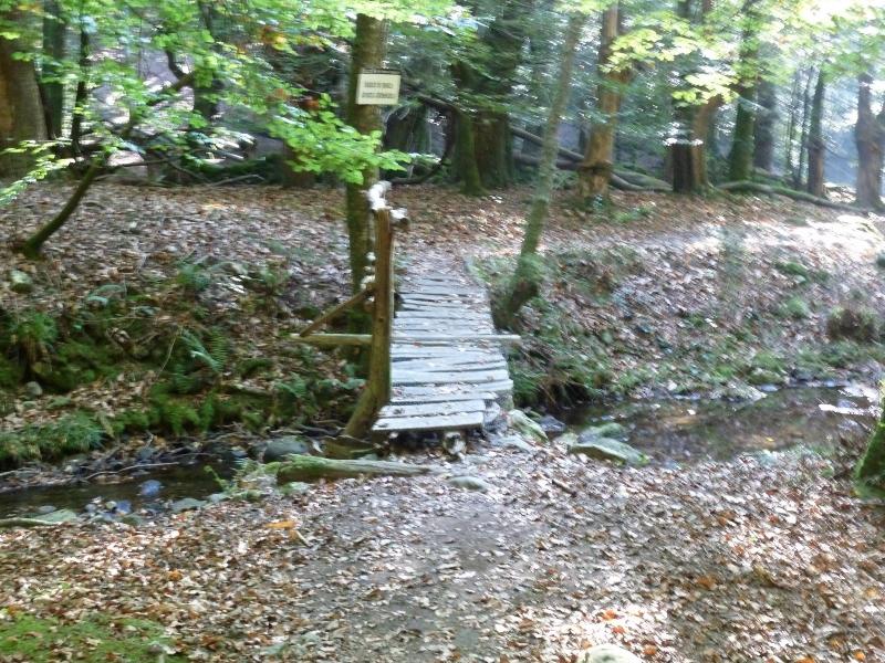
Cruzamos este puente y más adelante otro.
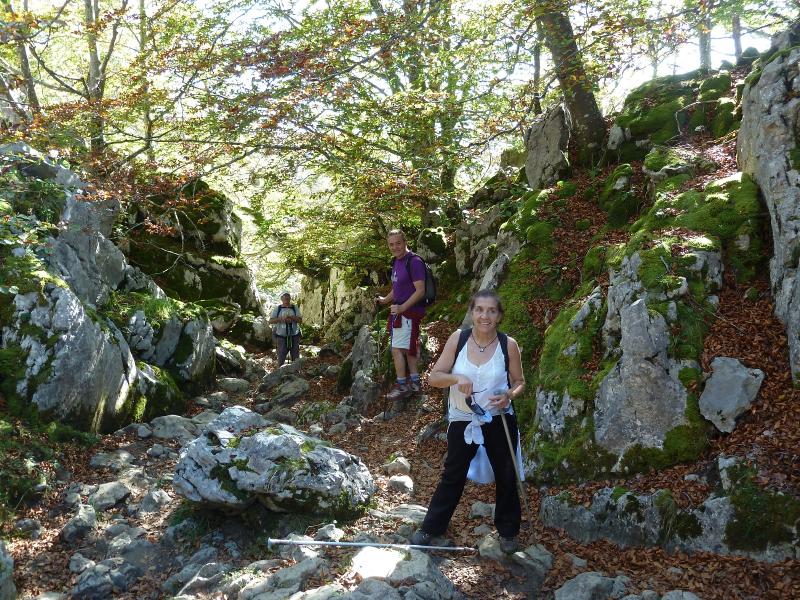
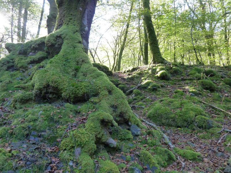
Musgos.
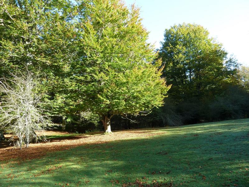
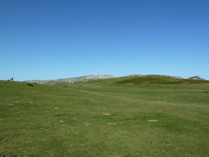
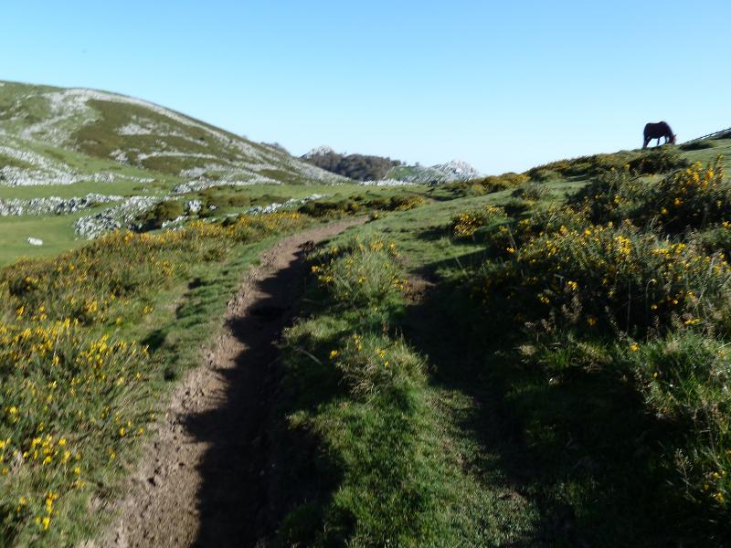
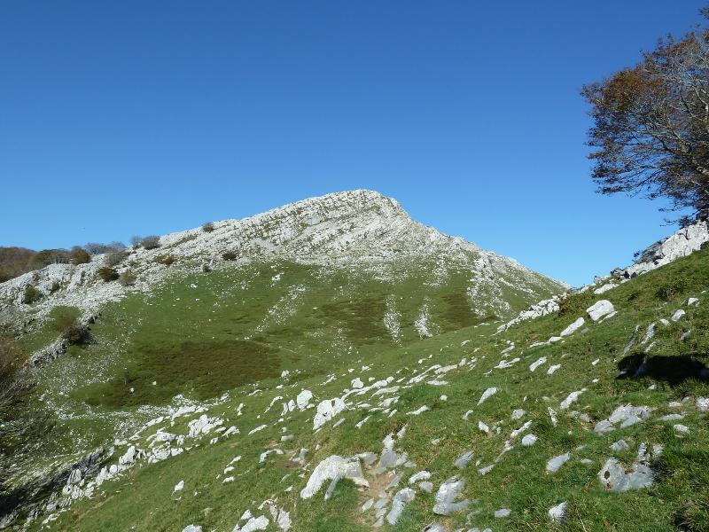
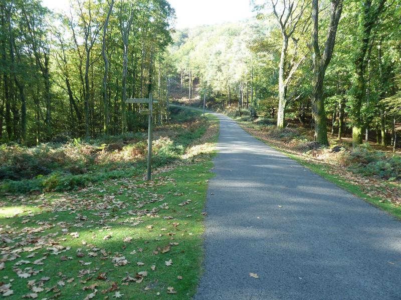
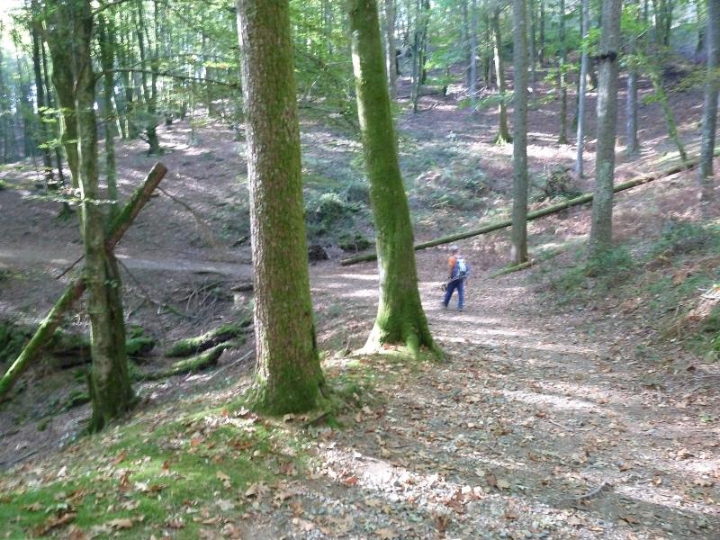
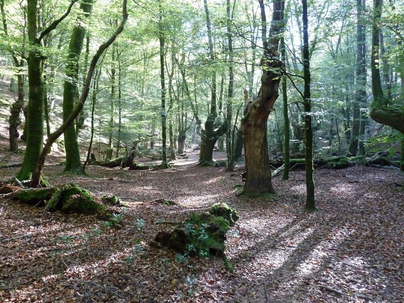
El paraje es estupendo.
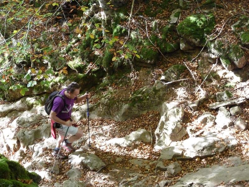
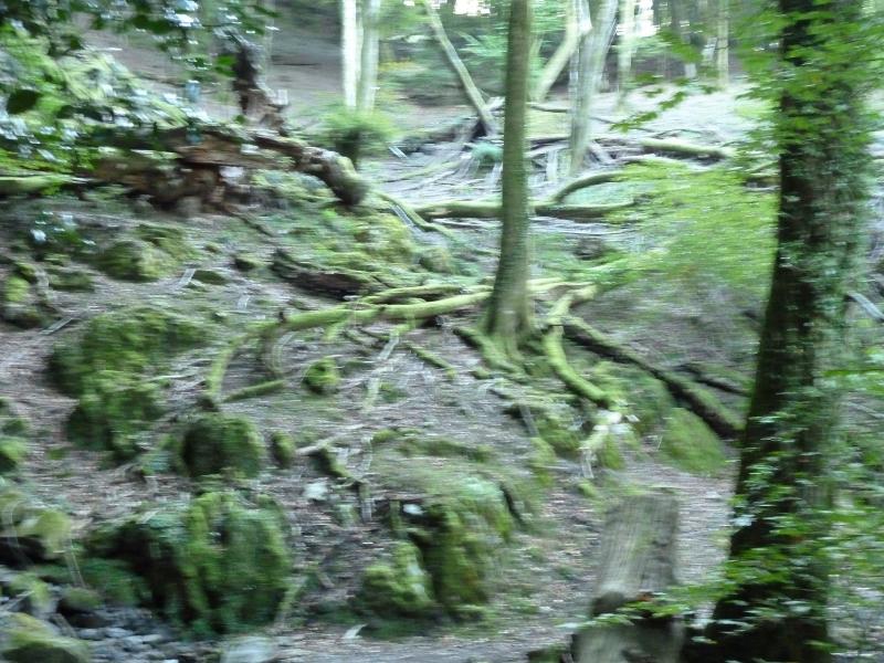
Un poco movida, Raices.
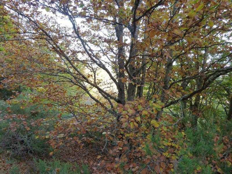
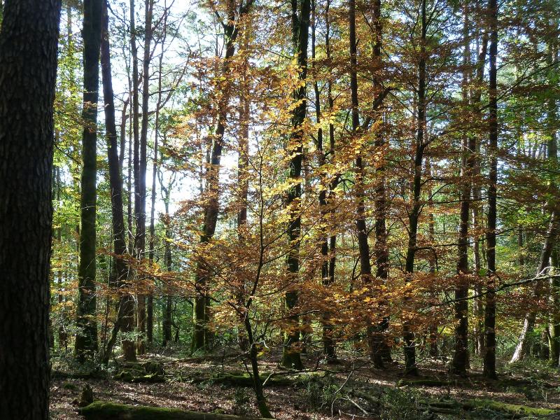
Este es el único árbol que tenía color.
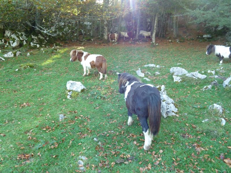
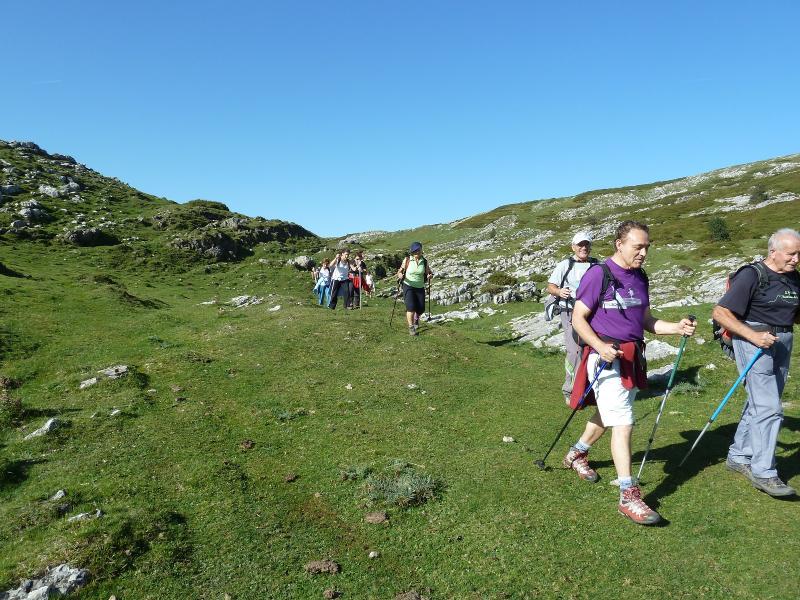
Y esta es la última foto.
El enlace a un pequeño vídeo.
PINCHAR PARA VER