Hola amigos.
Hoy tenía ganas de hacer una circular que realicé en Agosto del 2011 en la localidad Oscense de Betés subiendo a la cima de Punta Burrambalo pero hoy la he realizado al revés que la otra vez. Betés es un pueblo que está en término del Sobremonte.
ACCESO GUÍA MICHELÍN
ITINERARIO
APARCAMIENTO 1268 M
ANTENAS 1808 M
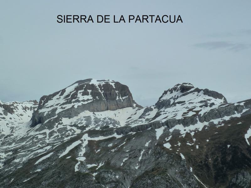
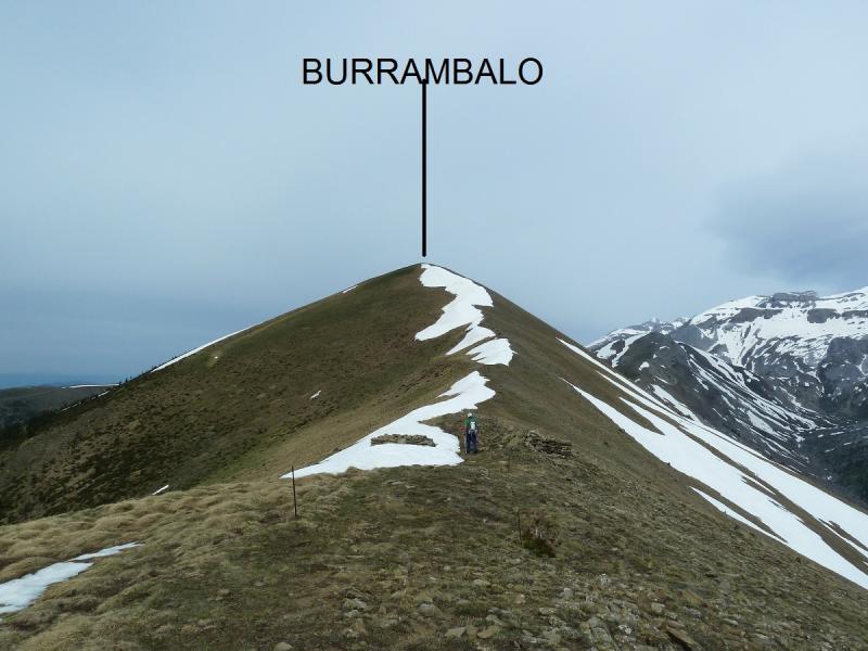
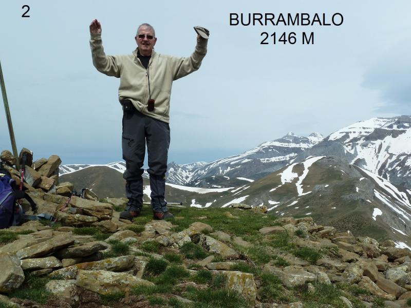
PUNTA BURRAMBALO 2146 M
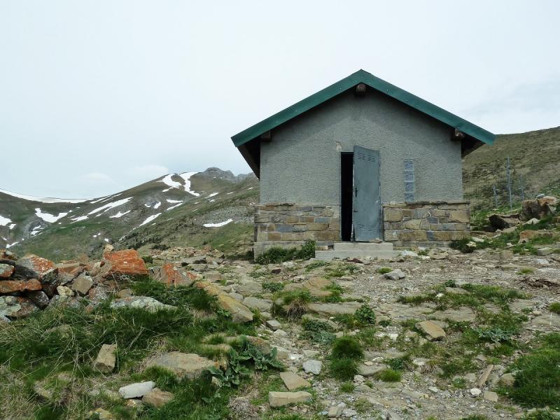
REFUGIO JUAN DE FEDRA 1850
APARCAMIENTO 1268
DESNIVEL 900 M
DISTANCIA 14 KM
TIEMPO EN MOVIMIENTO 4,42 HORAS
DESCRIPCIÓN
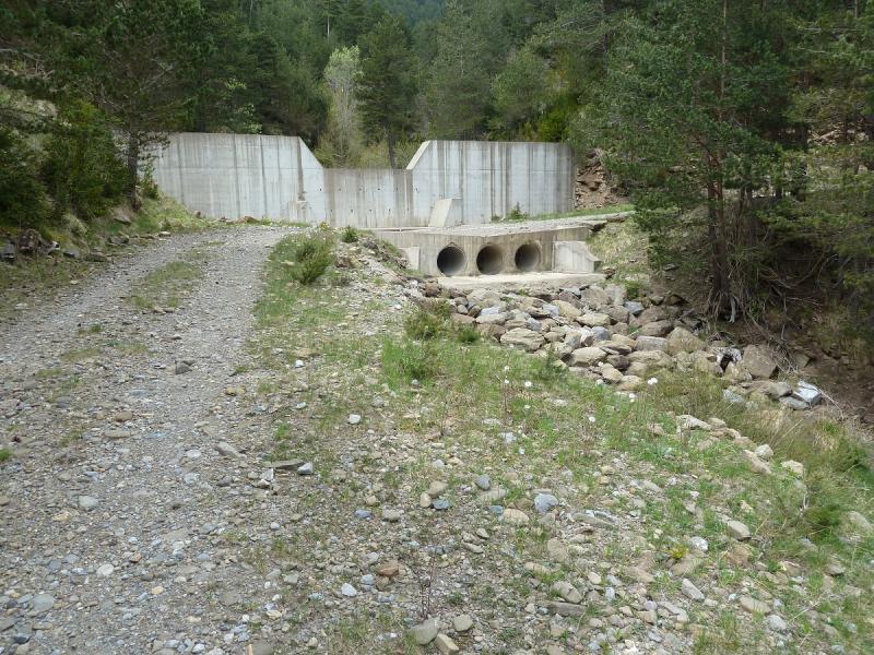
Llegados a Betés aparcamos a la entrada del pueblo y subimos al alto del pueblo donde se inicia una pista que la seguimos por el fondo del valle. Pasamos junto a una fuente y cuando llegamos donde un murete de hormigón vamos por la derecha y pasados unos campos de hierba salimos a un sendero que nos saca a una pista.Este sendero lo seguiremos al regreso.
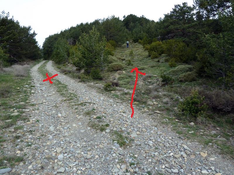
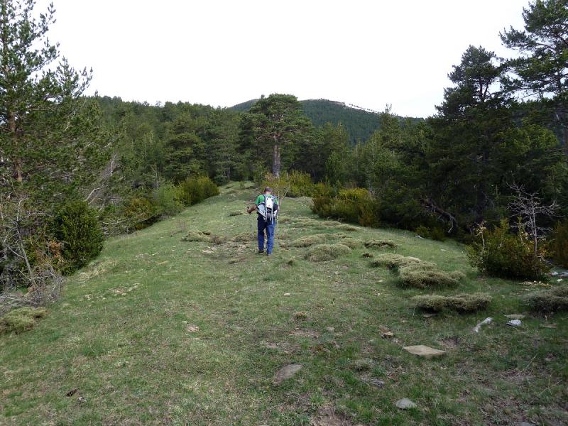
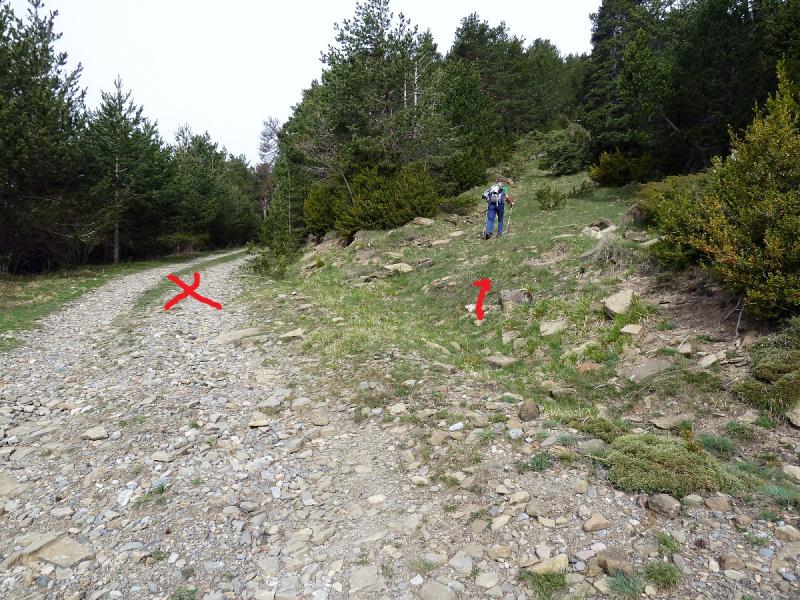
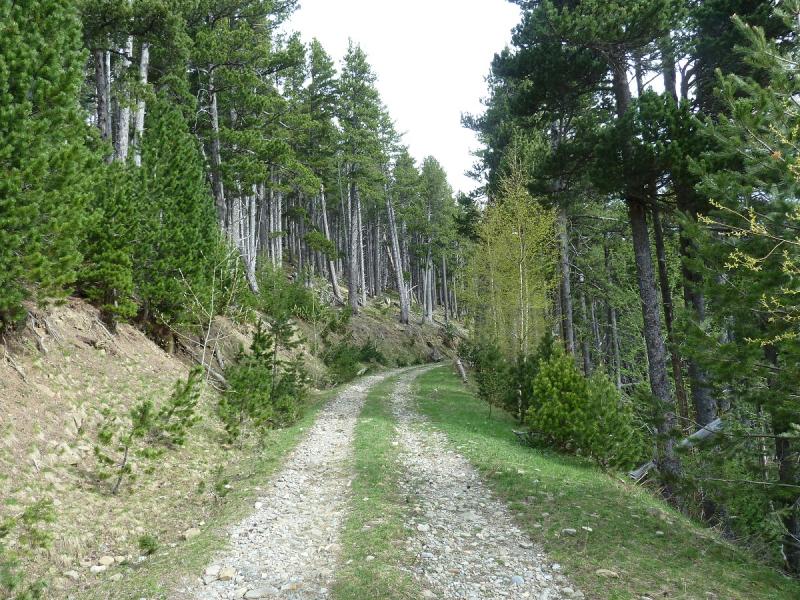
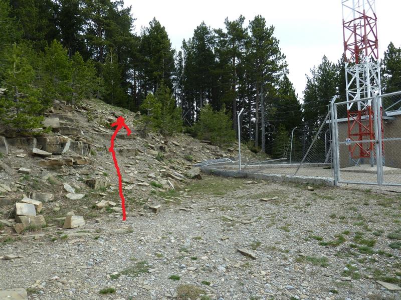
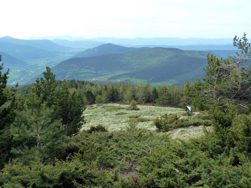
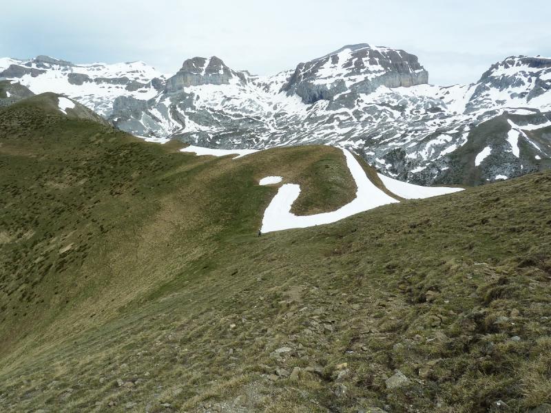
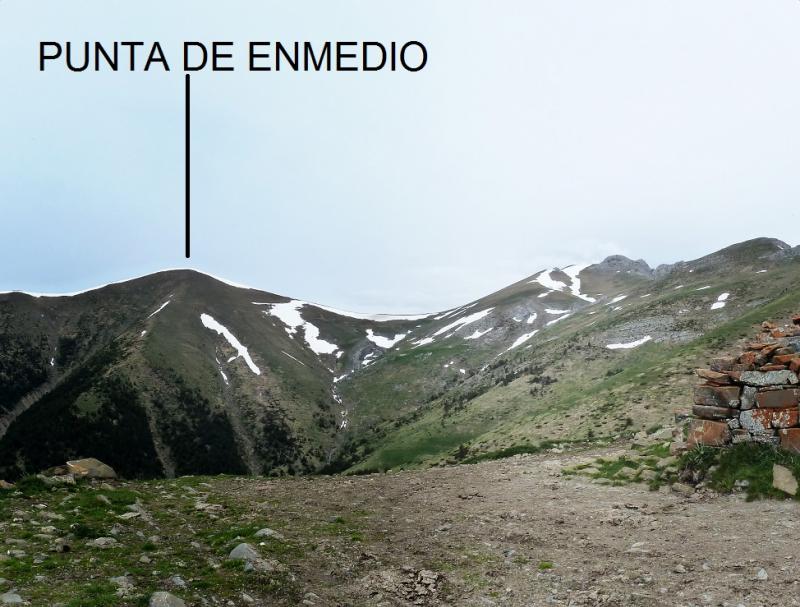
Tomamos esa pista por la derecha y en ascenso haciendo varios alcorces,llegamos al último alcorce antes de llegar a la antena y este no lo realizamos subimos por la pista y hacemos una parada para almorzar. Llegados a la antena donde acaba la pista seguimos el sendero por el bosque que en ascenso nos saca al raso donde ya las vistas empiezan a se bastante buenas. Bordeamos la nieve y llegamos donde un alto que le llaman Punta Facera pero ahí no hay nada que lo indique.
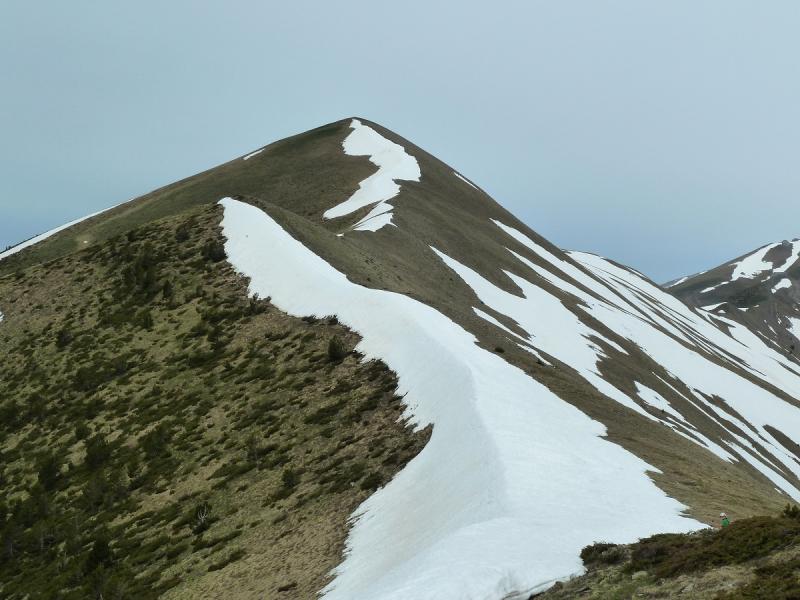
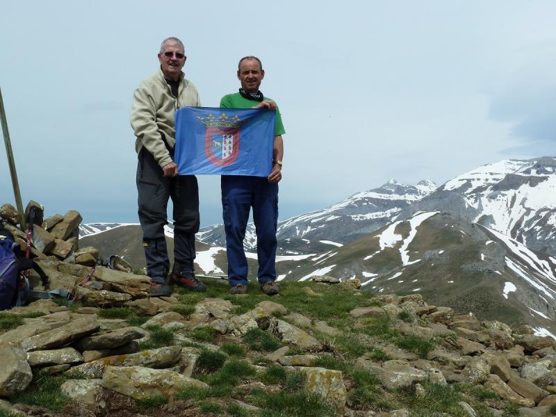
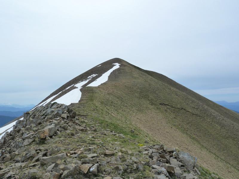
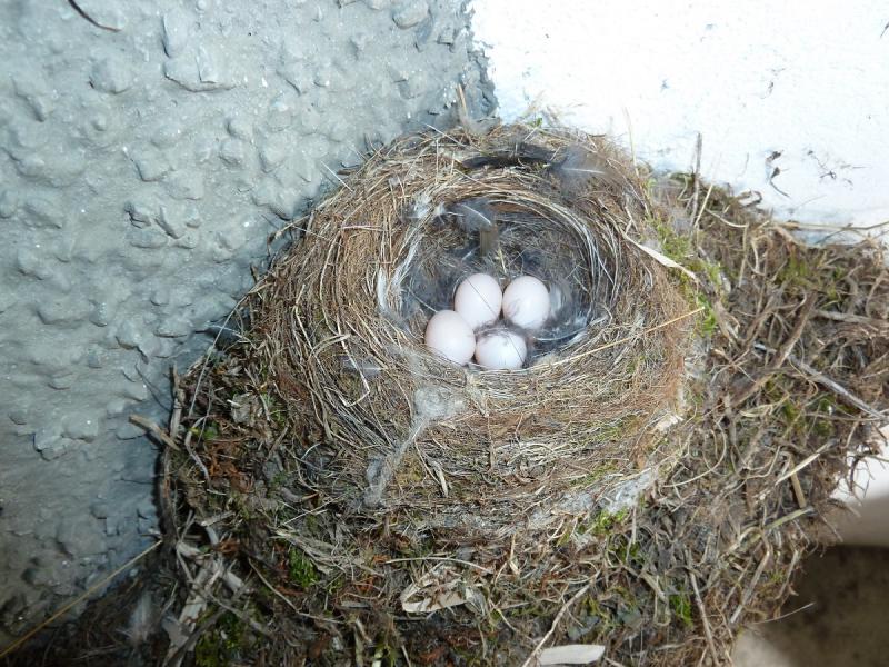
Seguimos ahora el cordal evitando la nieve y así llegamos a la cima de Punta Burrambalo que tampoco tiene buzón ni nada que lo indique. Nos hacemos la foto admiramos lo que se ve y nos tiramos cordal abajo hasta llegar a un collado donde por la izquierda bajamos a una pista que se ve abajo y que nos lleva al refugio de Juan de Fedra donde en su interior divisamos un nido de pájaro donde hay huevos.
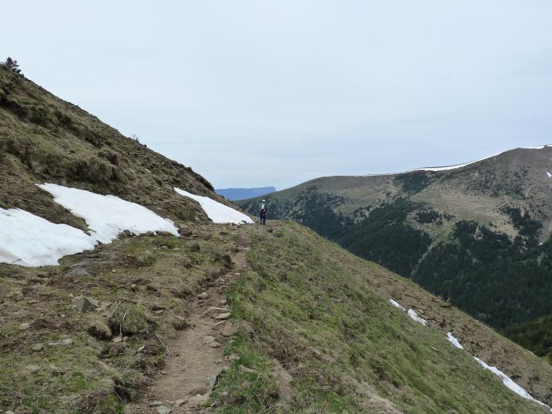
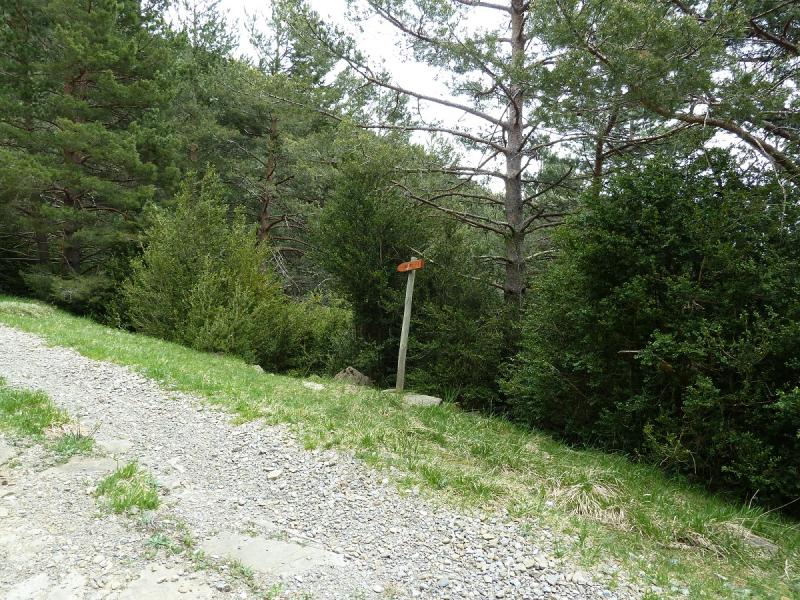
Seguimos la pista y en descenso poco a poco y haciendo también varios alcorces ahora cuesta abajo,llegamos enfrente de otra antena donde la pista se va por la derecha y por la izquierda, tomamos por la izquierda y nos baja a otra pista que la seguimos por la izquierda hacia un muro de hormigón y subiendo un poco la pista,llegamos donde el letrero que pone a Betés y siguiendo el sendero nos saca a la pista que nos lleva al pueblo.
De regreso a casa paradita para hidratar.
EL TRAK. PINCHAR PARA VER
SI NO SE VEN LAS FOTOS PINCHAR AQUÍ
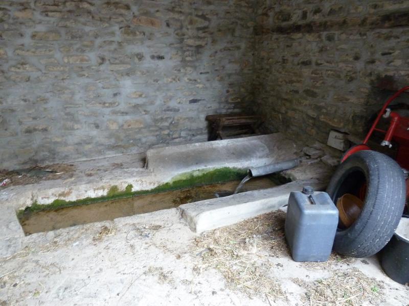
Pasamos junto a este rústico lavadero.
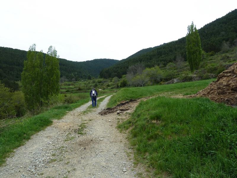
Dejamos el pueblo atrás.
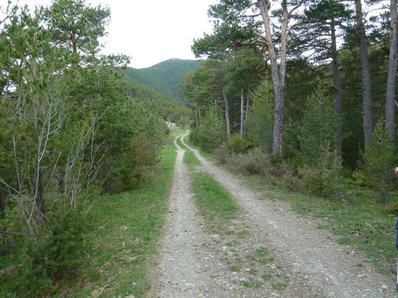
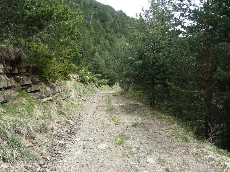
Vamos por la pista.
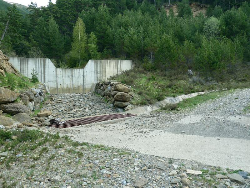
Llegamos al murete de hormigón.
Mirada.
Salidos a la pista vamos para arriba.
Llegamos donde la antena.
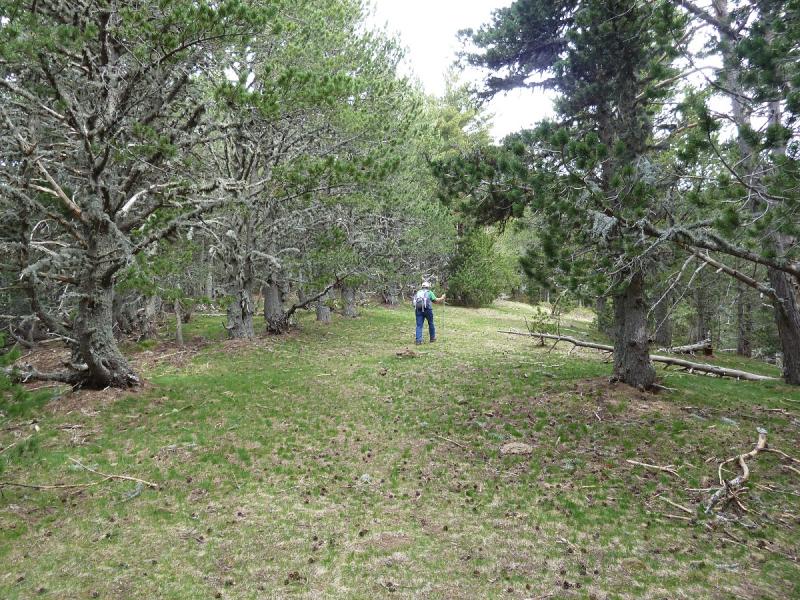
Ahora por el bosque.
Mirada.
Una mirada atrás.
Un Zoom.
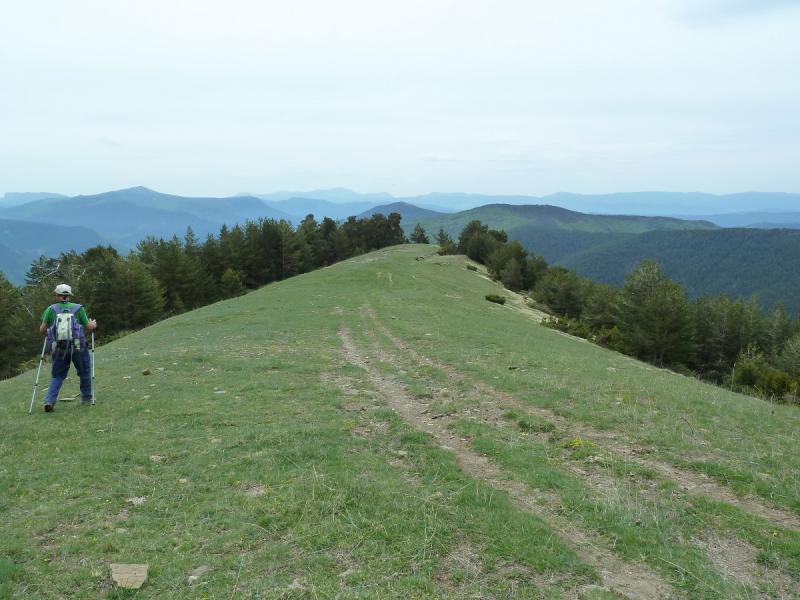
Salimos al raso.
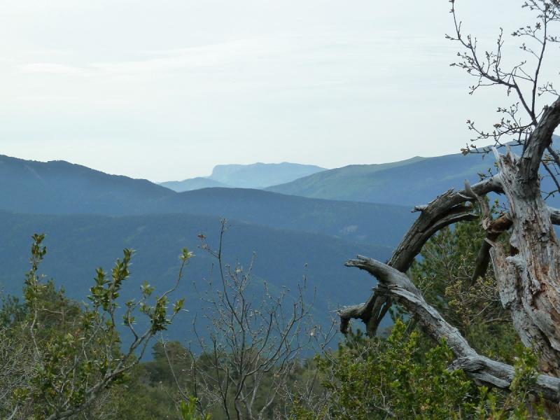
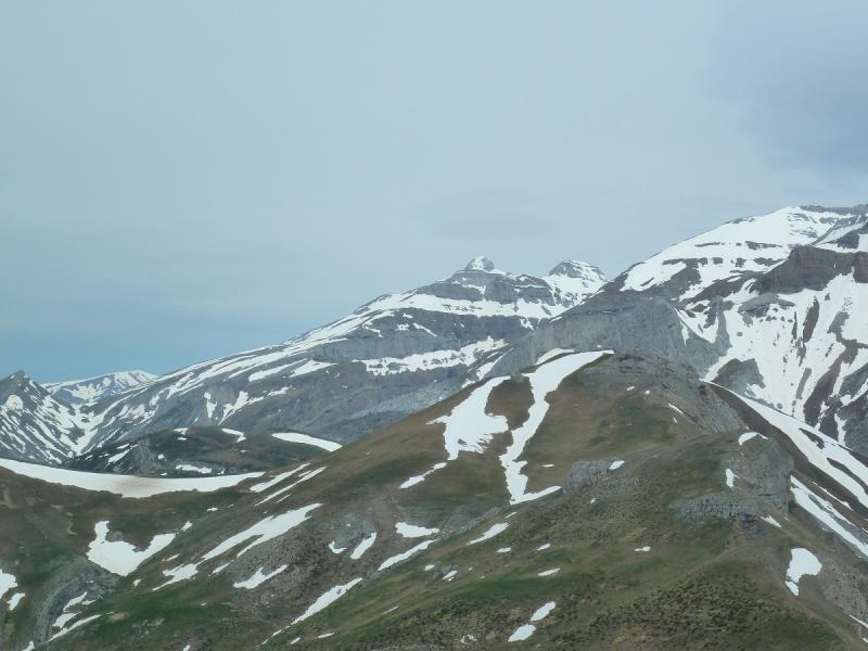
Miradas.
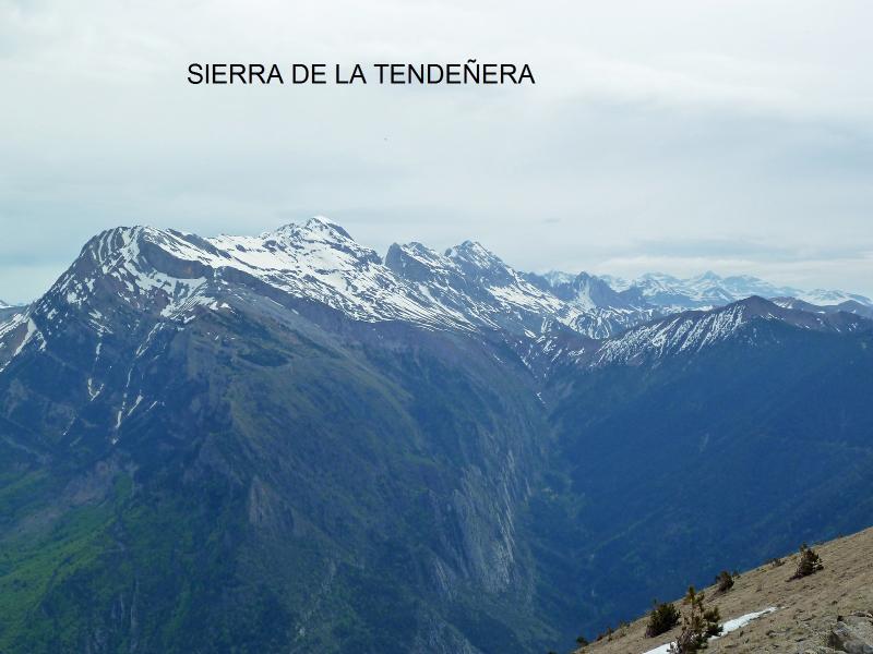
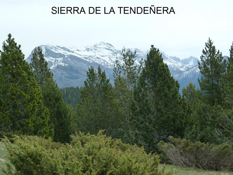
La zona de Panticosa.
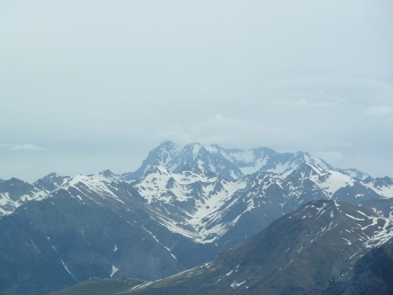
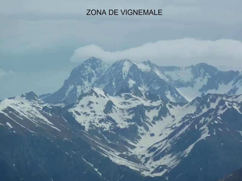
La zona de Vignemale.
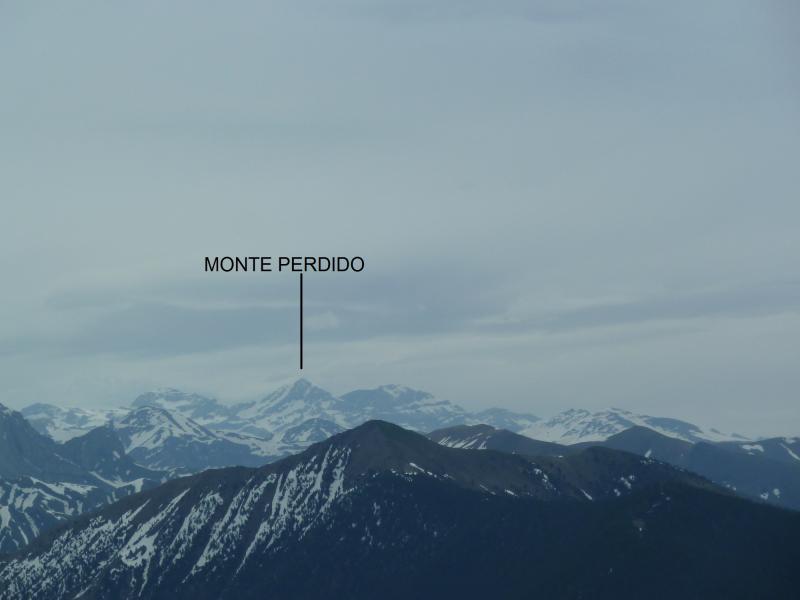
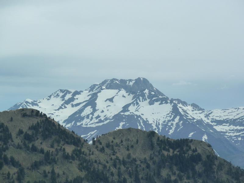
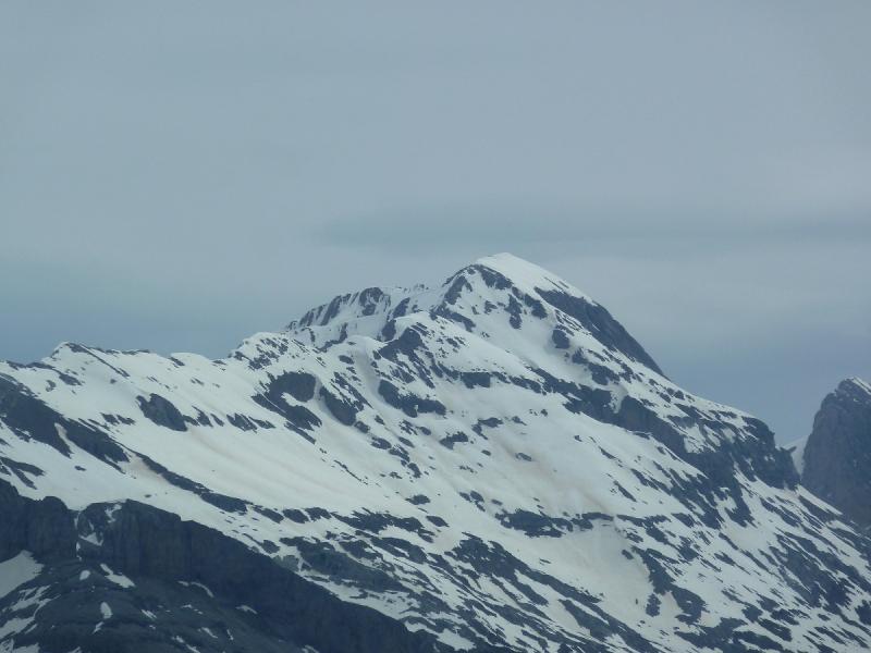
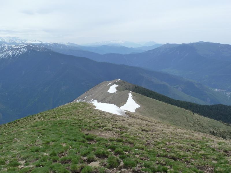
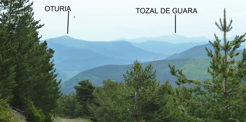
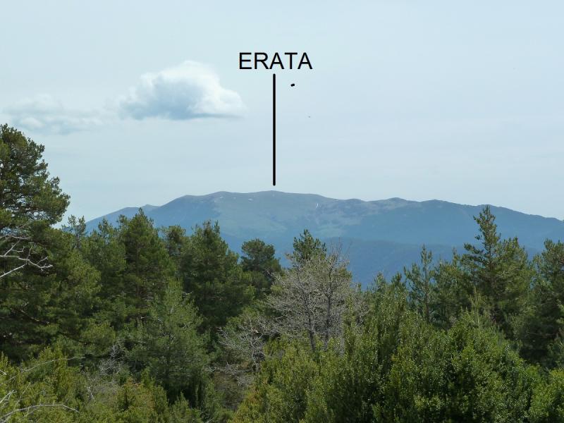
Un Zoom a la cima de Punta Burrambalo.
Vamos subiendo.
Un Zoom.

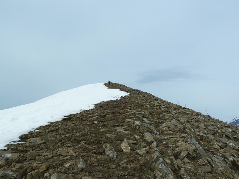
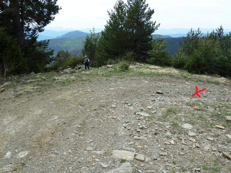
Llegando a la cima.
href=" https://fotos.mendiak.net/franciscojavieranduezahualde/PUNTA%20BURRAMBALO/P1180293.jpg " target="_blank">
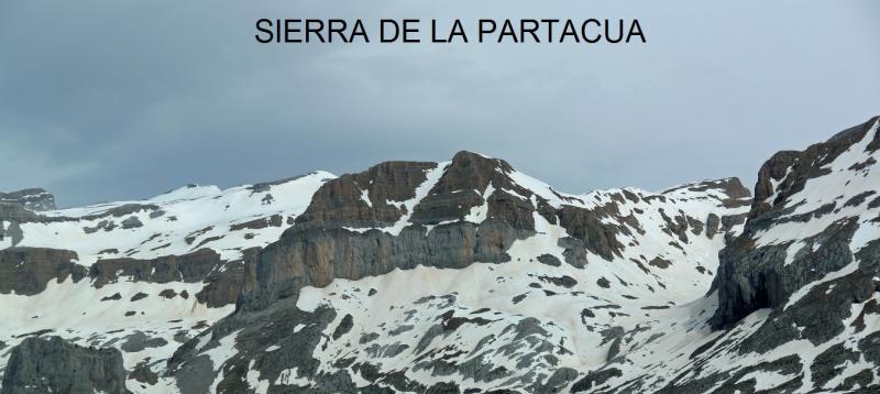
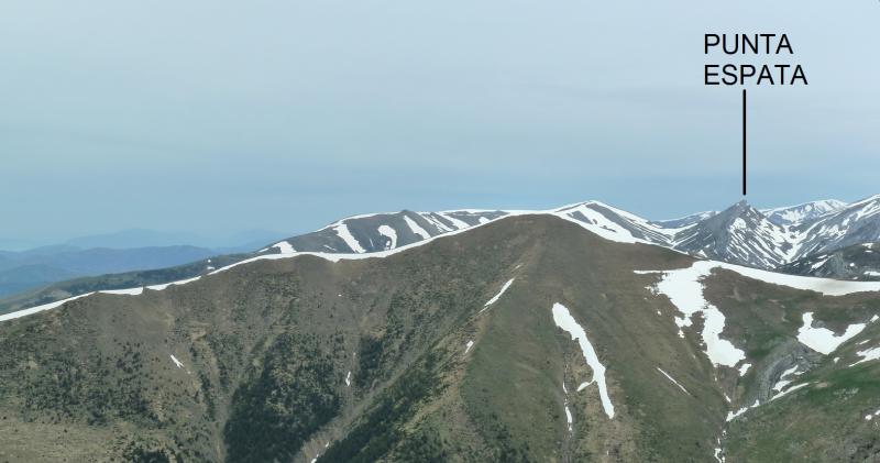
Los del fondo a la derecha creo que son La Pala de IP y Punta Escarra.
Ahí abajo Aso de Sobremonte.
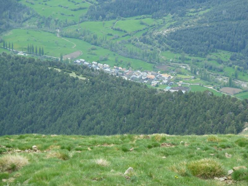
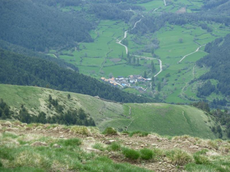
Ahí Betés.
Una mirada atrás.
Con Lucio en la cima.
Nos bajamos haciendo la circular.
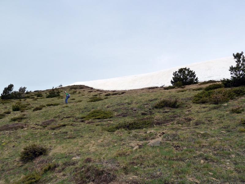
Al llegar a esa punta de nieve,para abajo.
En el sendero hacia el refugio.
Un trabajo de artesanía.
Mirada.
Bajamos por la pista.
Mirada.
De estos alcorces hacemos varios.
Mirada.
Salidos a la pista,vamos hacia ese murete de hormigón.
Y siguiendo la pista en ascenso,llegamos donde el letrero que pone a Betés.
Llegando al pueblo vemos las típicas chimeneas de la zona..
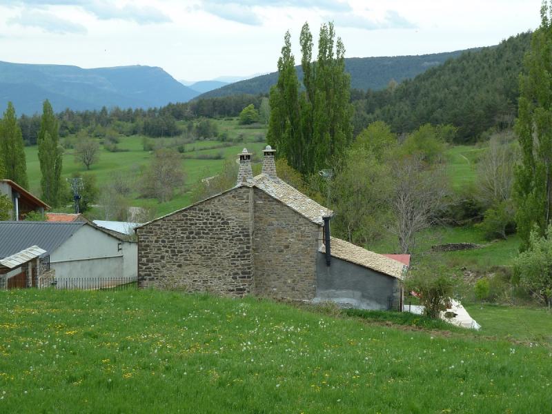
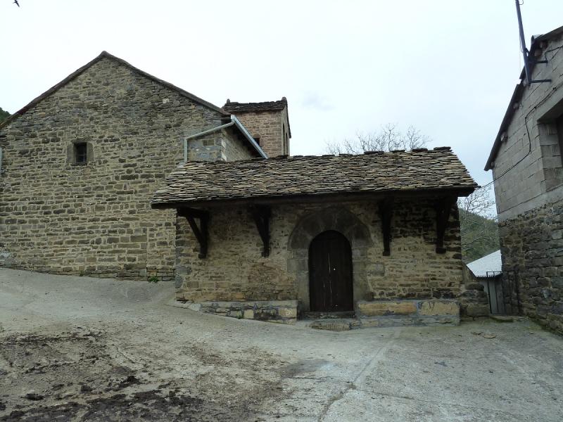
La iglesia del siglo XII
Pongo un pequeño vídeo.
PINCHAR PARA VER

No hay comentarios:
Publicar un comentario