Martes 25-10-2011
Hola amigos.
Hacía ya mucho tiempo que tenía ganas de conocer el parque natural de Valderejo y hoy ha sido el día. Hemos marchado a la localidad de Lalastra y realizado una bonita circular.
ACCESO
Guía MichelínITINERARIO
LALASTRA 920 M
RIBERA 747 M
CDO ACEBEDO 1015 M
CIMA DE VALLEGRULL 1225 m
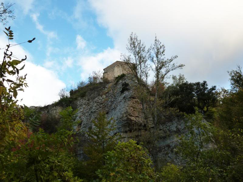
ERMITA SAN LORENZO 1072 M
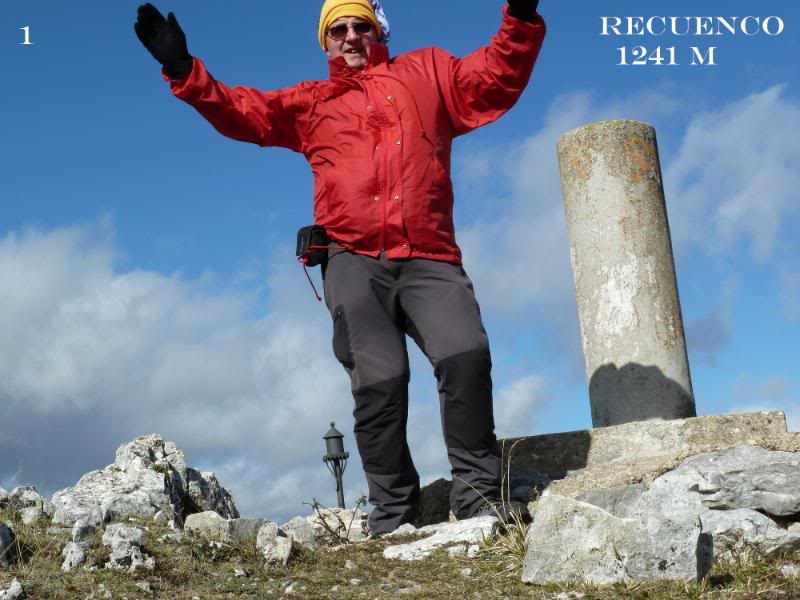
CIMA DE RECUENCO 1241 M
PORTILLO DE LA SIERRA 1082 M
LALASTRA 920 M
DESNIVEL ACUMULADO 650 M
DISTANCIA 24 KM
TIEMPO SIN CONTAR PARADAS 6 HORAS
DESCRIPCIÓN
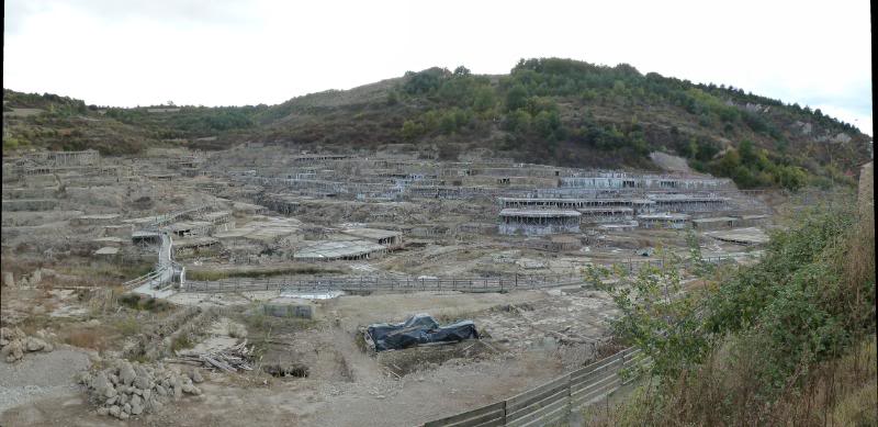
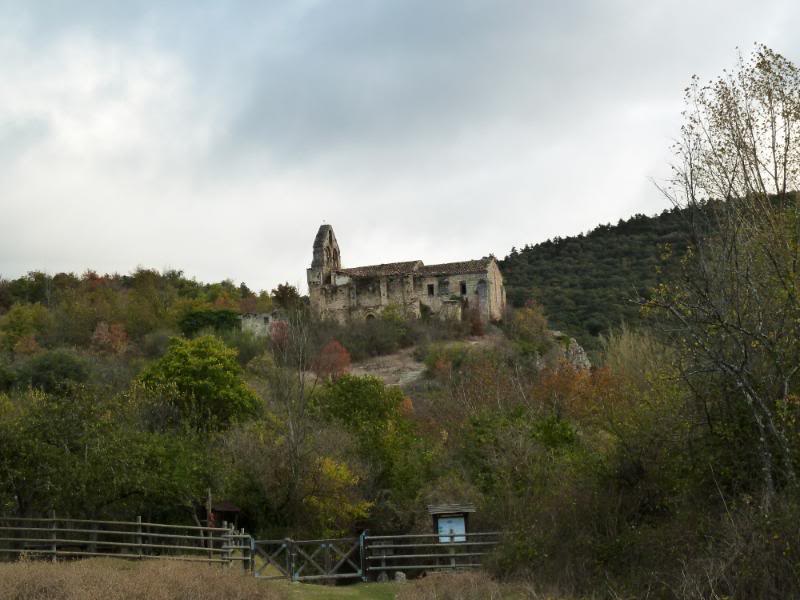
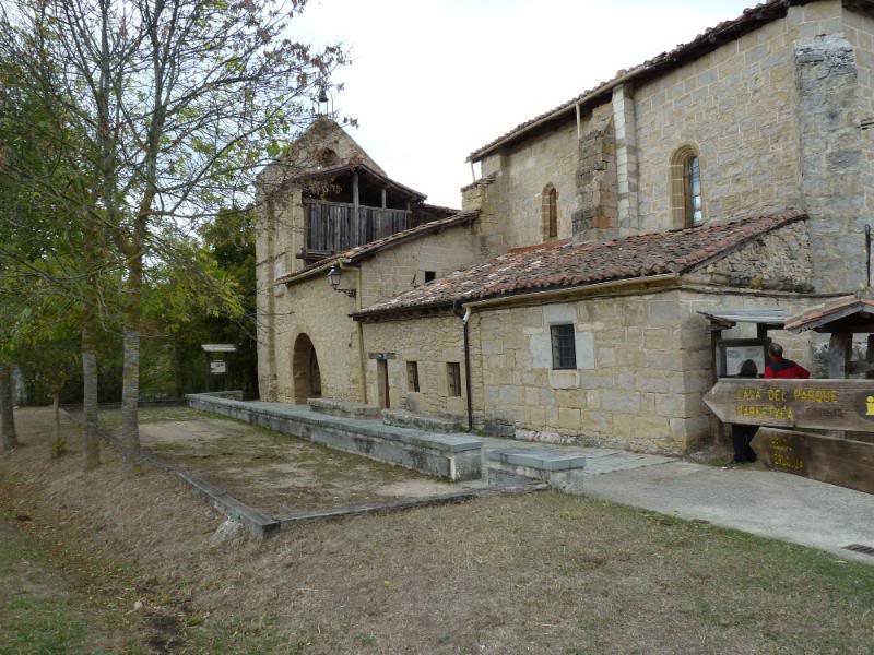
Salimos del aparcamiento por las calles del pueblo hasta la Casa del Parque. De frente a la casa tomamos la senda Puron-Ribera. Llegamos por pista hasta debajo del pueblo deshabitado de Ribera donde sólo se mantiene en pie la iglesia.
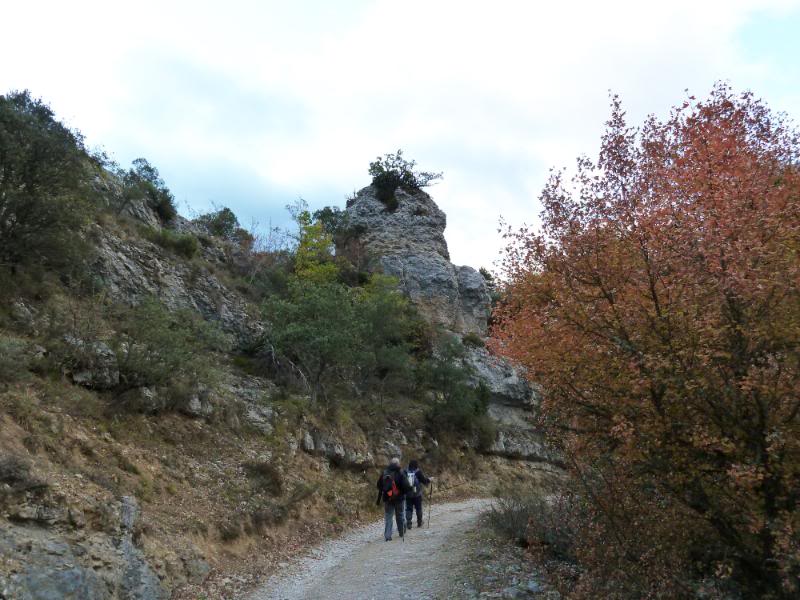
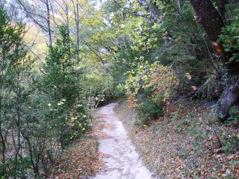
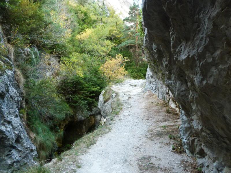
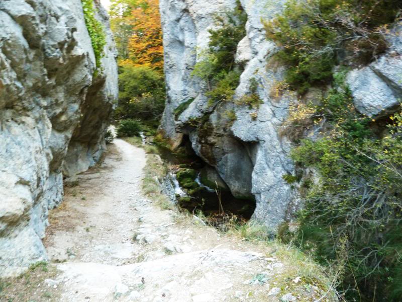
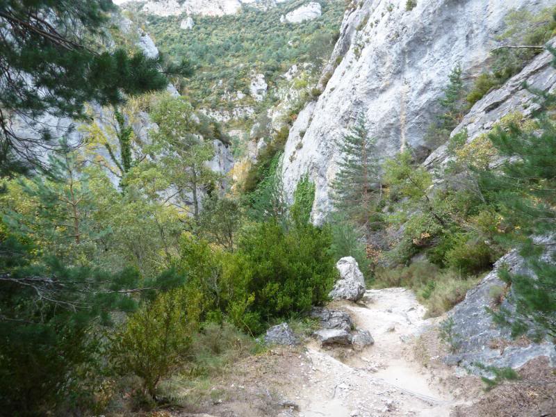
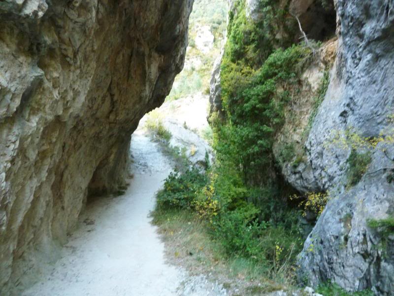
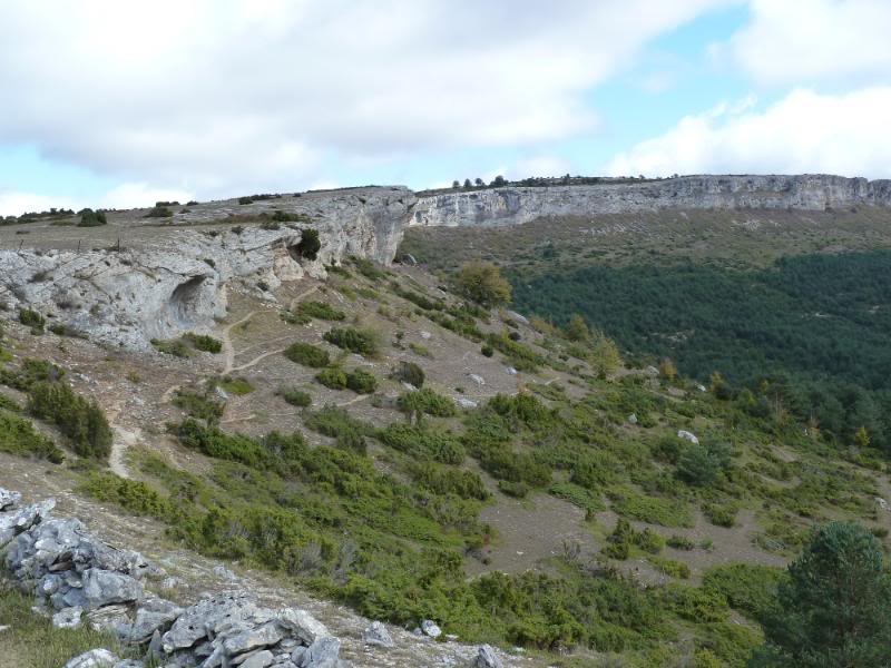
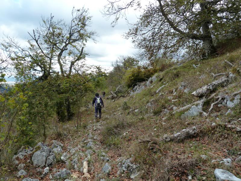
Seguimos y nos introducimos en el desfiladero del río Puron donde el sendero es muy majo, en algún punto está tallado en la roca. Hoy no bajaba mucha agua .
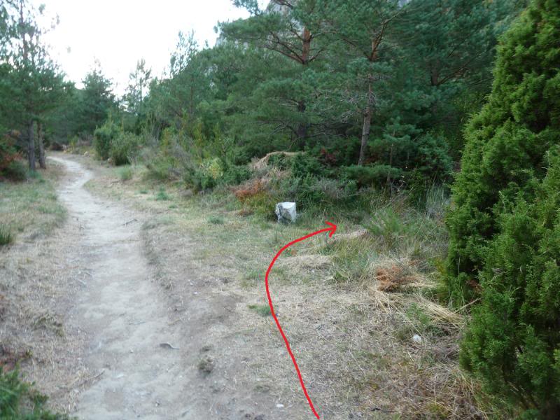
Cuando salimos del desfiladero, en unos 300- 400 m una senda por la derecha casi borrada nos lleva al cauce del río que lo cruzamos (en épocas que el río baja más agua habrá que descalzarse) y ahora vamos río arriba por senda con mucha maleza que nos lleva a una vaguada donde seguimos muy atentos al suelo para ver el sendero.
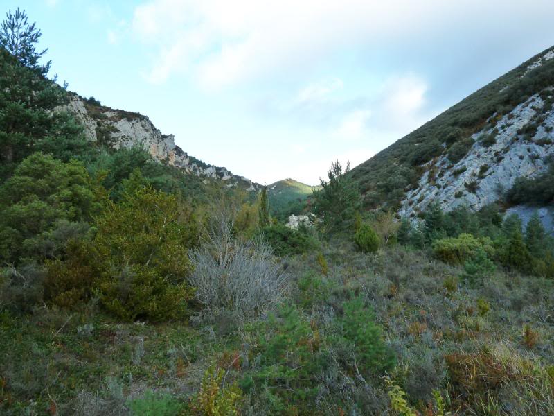
Cuando llegamos a una zona que se cierra el camino,unas cintas en los árboles y algún hito nos llevan al collado Acebedo. No recomiendo hacer este camino después de haber llovido pues saldrás como si te cayeses al río.
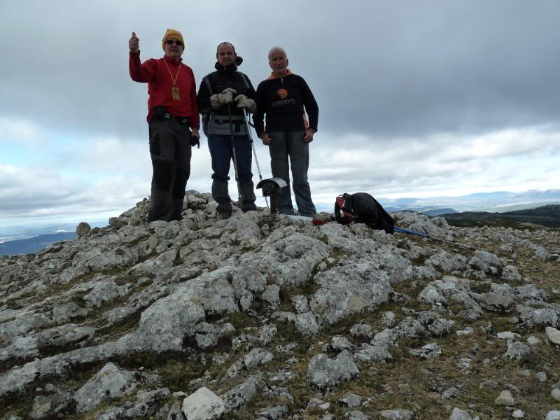
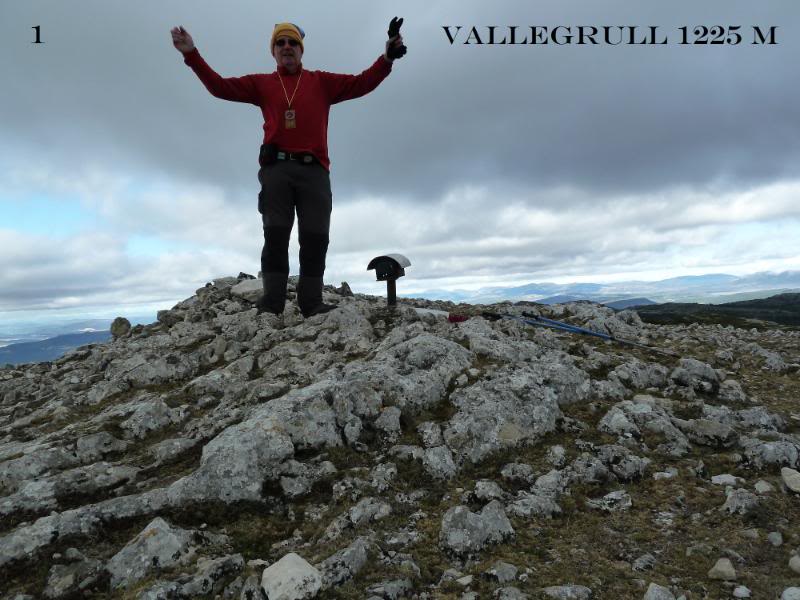
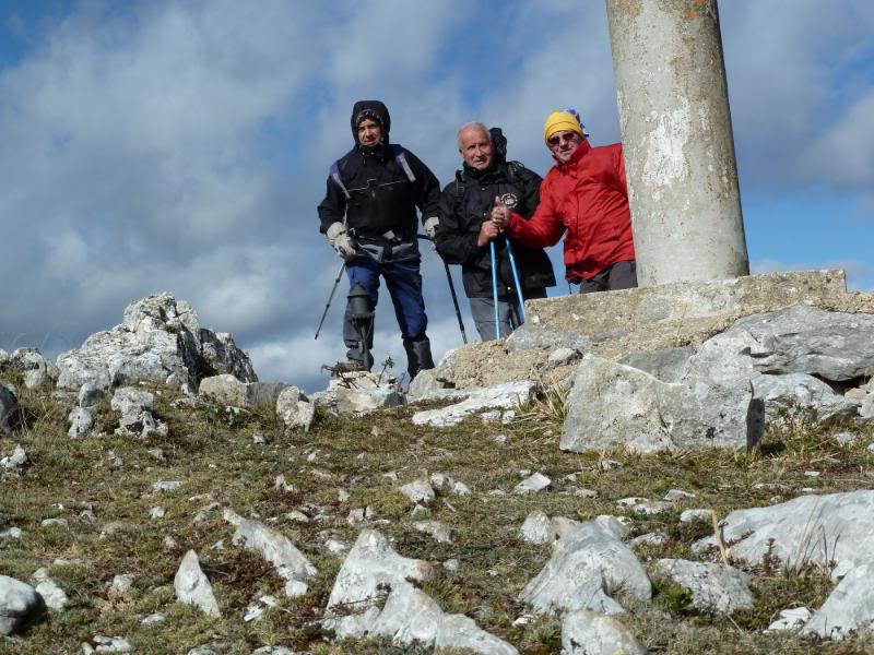
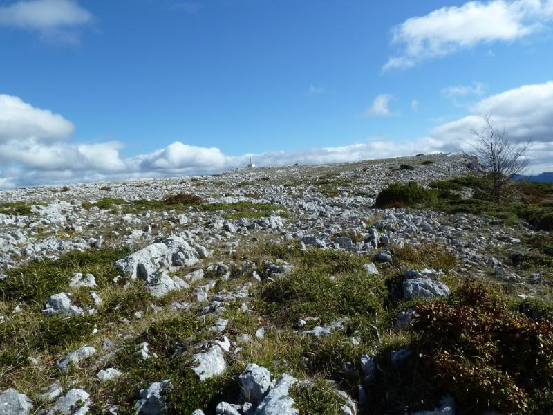
Desde el collado por la derecha en fuerte pendiente y siguiendo los hitos,llegamos al borde del acantilado y siguiéndolo por la izquierda llegamos al vértice geodésico que no paramos y llegamos donde está el buzón donde nos hacemos la foto.
El viento sur pega fuerte y nos zarandea muchas veces como a muñecos.
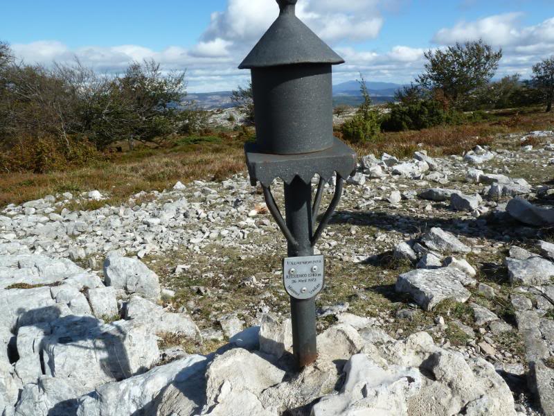
Ahora seguimos por el borde del acantilado y bajamos a la ermita de San Lorenzo. De la ermita seguimos pegados a la alambrada con el cortado a la derecha dando toda la vuelta al circo y llegamos a la cima de Recuenco donde el viento sigue igual.
Un poco más adelante hay otro vértice geodésico. Siguiendo el sendero llegamos al portillo Leron donde hay unas pinturas rupestres pero el fuerte viento nos ha impedido verlas.
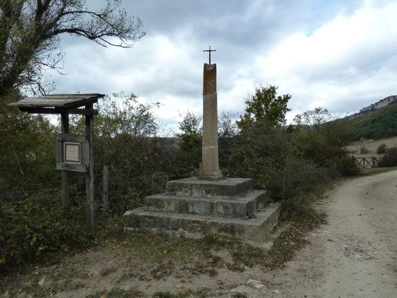
Llegados al Portillo de la sierra hemos bajado por la pista hasta la carretera y de aquí en 200m llegamos al aparcamiento donde en el bar nos hemos tomado un café calentico.
NOTA. Desde el 1 de Enero hasta el 15 de Septiembre está prohibido andar por los acantilados como protección a la nidificación de los buitres.
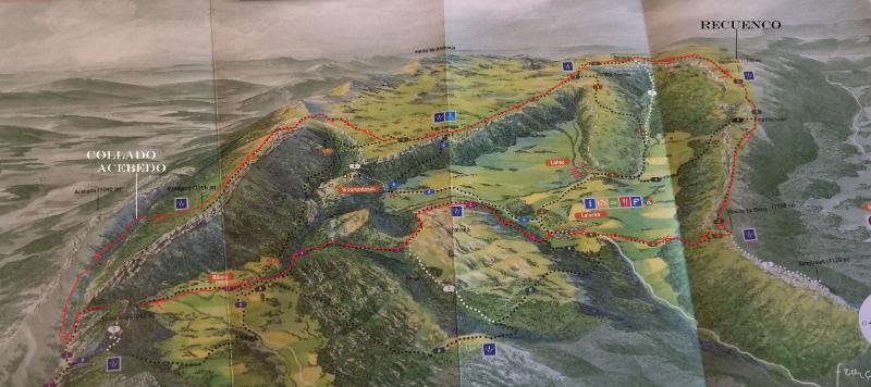
SI NO SE VEN LAS FOTOS,PINCHAR AQUÍCroquis de la ruta.
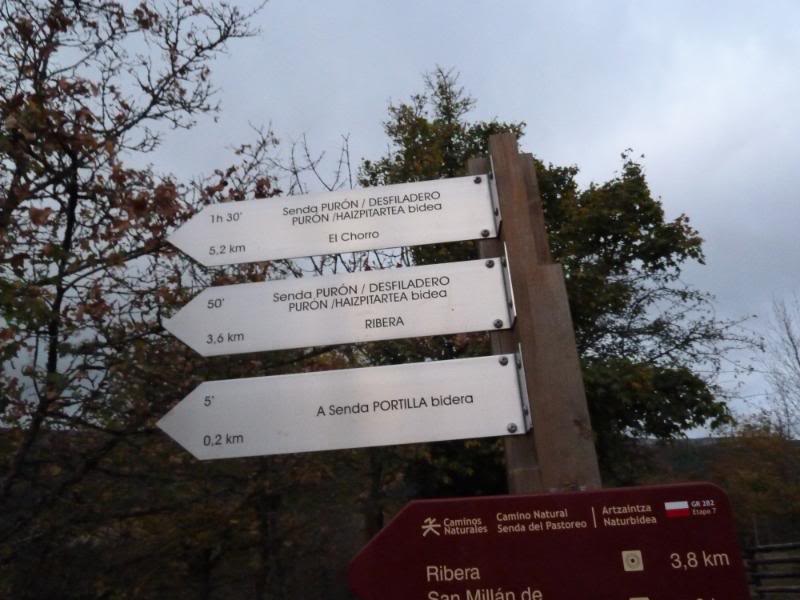
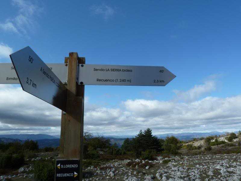
Indicador de rutas.
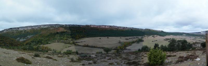
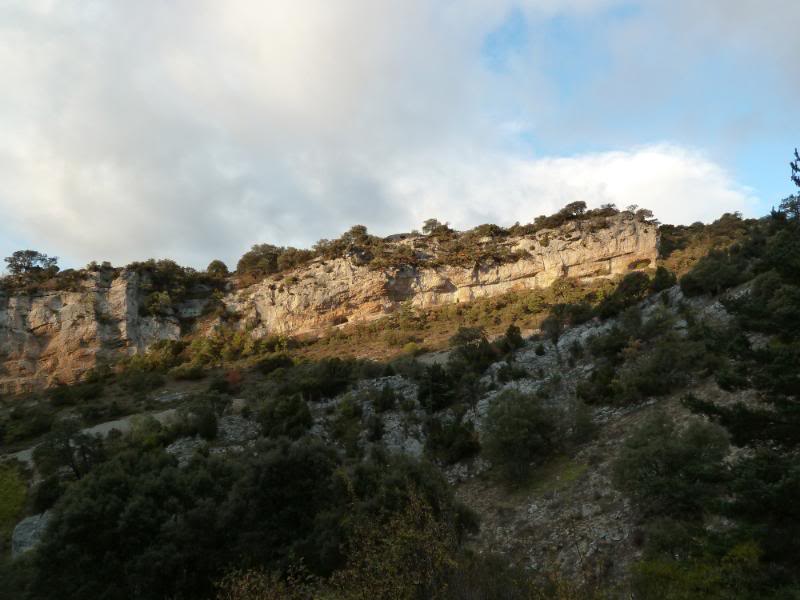
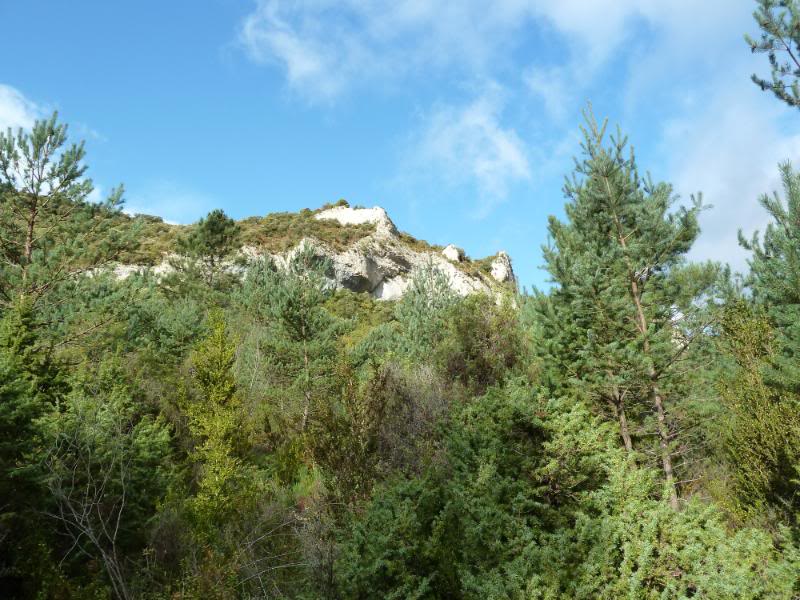
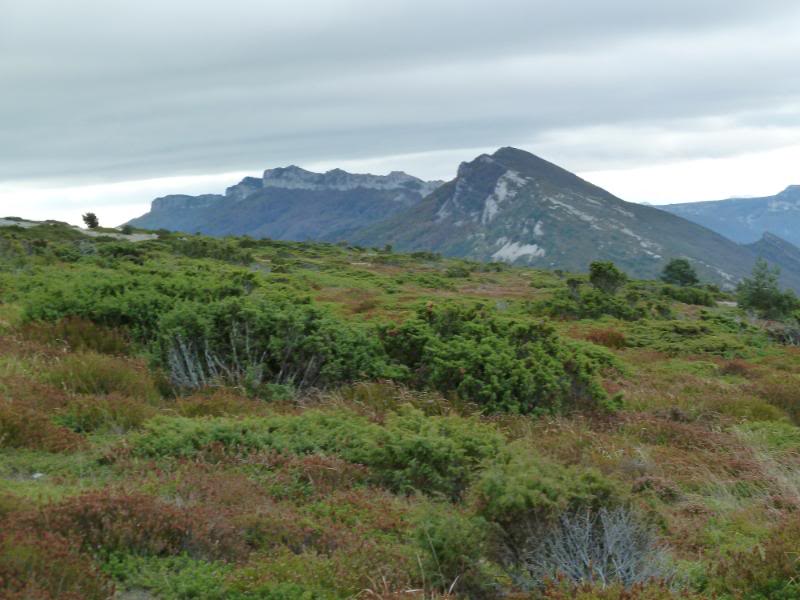
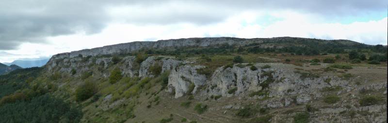
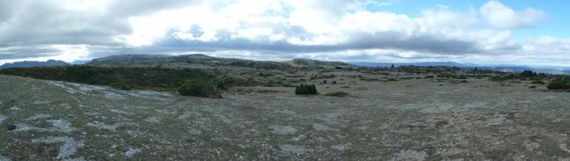
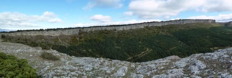
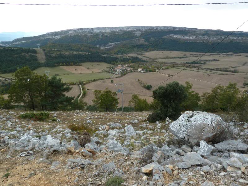
Panorámica de la sierra.
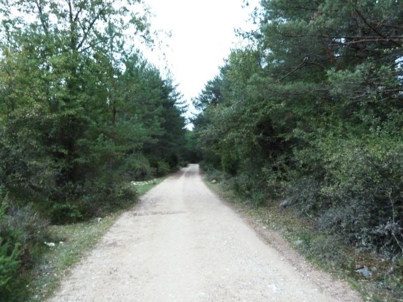
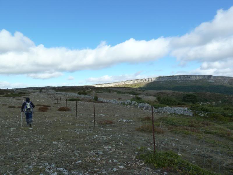
La pista.
Miradas.
Llegando a Ribera.
Ribera.
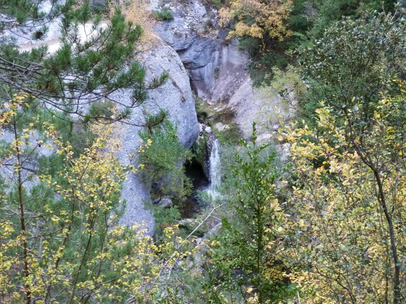
Bajamos al desfiladero.
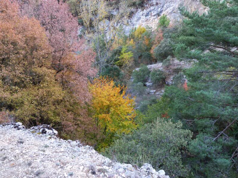
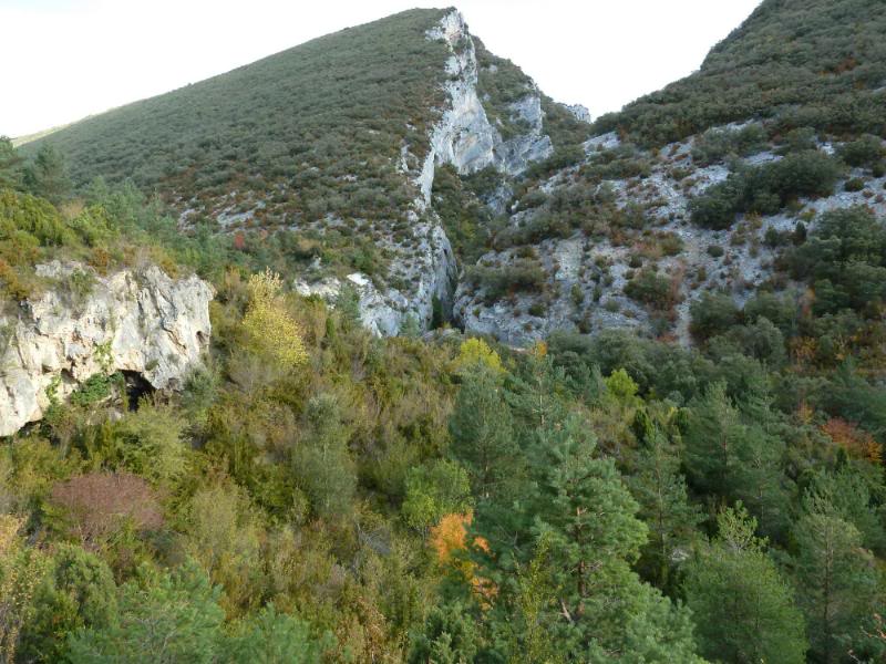
El desfiladero.
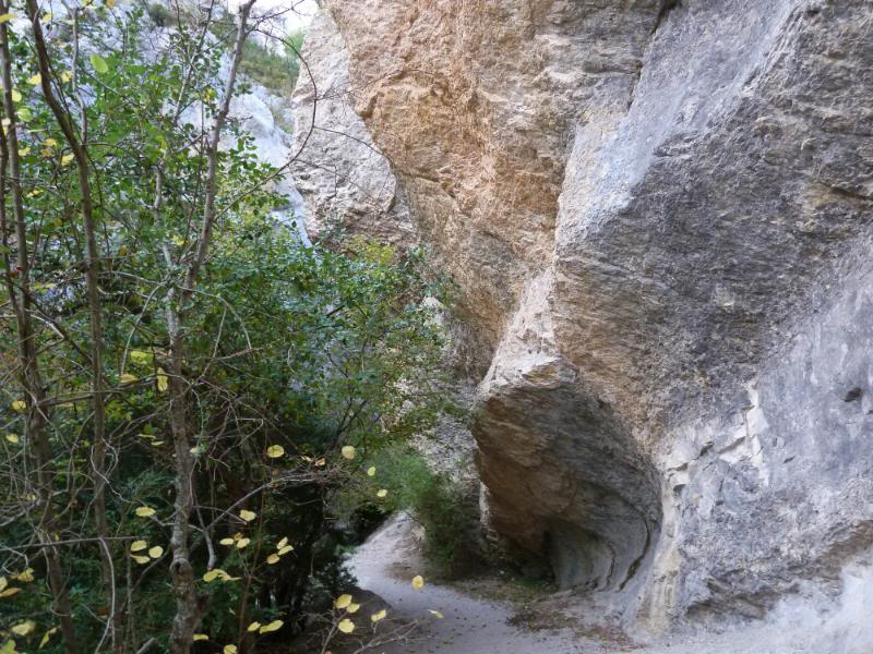

Saliendo del desfiladero donde esta piedra tomamos el sendero hacia el río.
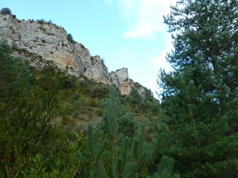
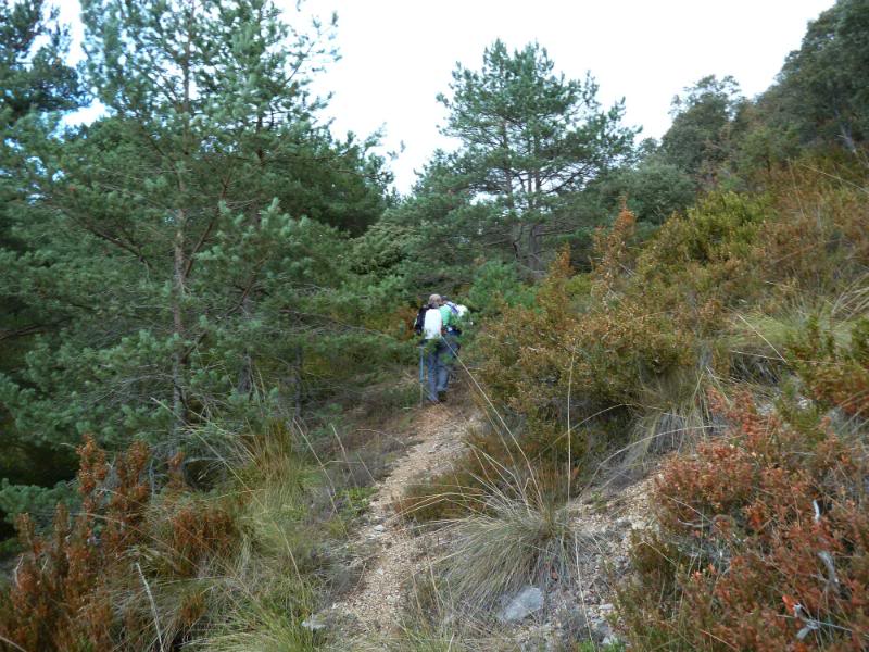
Subimos hacia el collado.
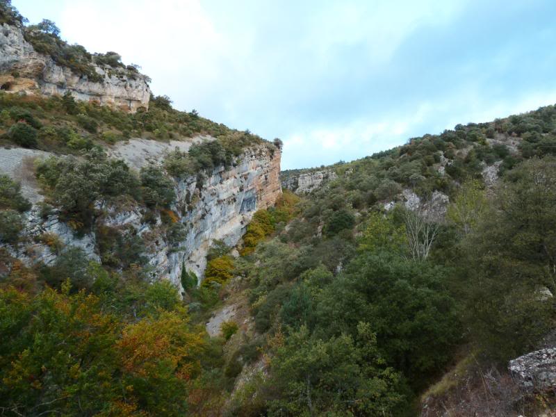
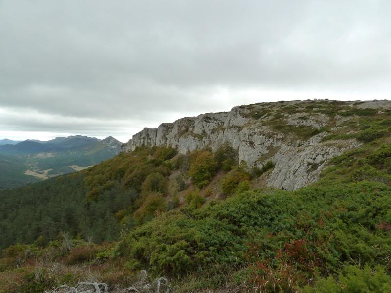
El tajo del desfiladero.
Miradas.
Vamos subiendo.
Collado de Acebedo.
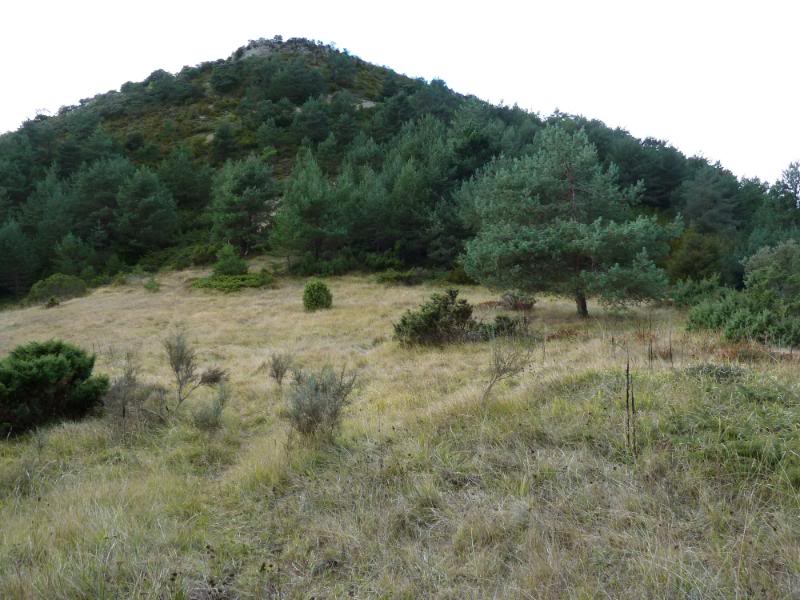
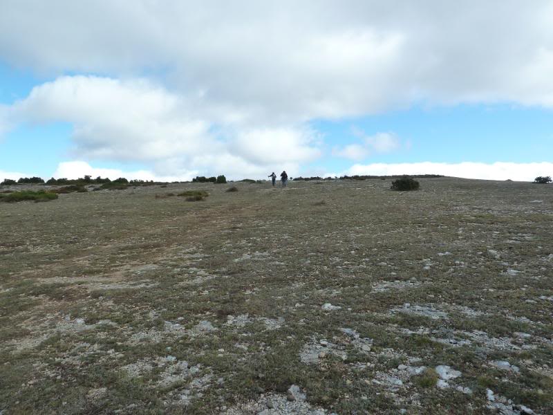
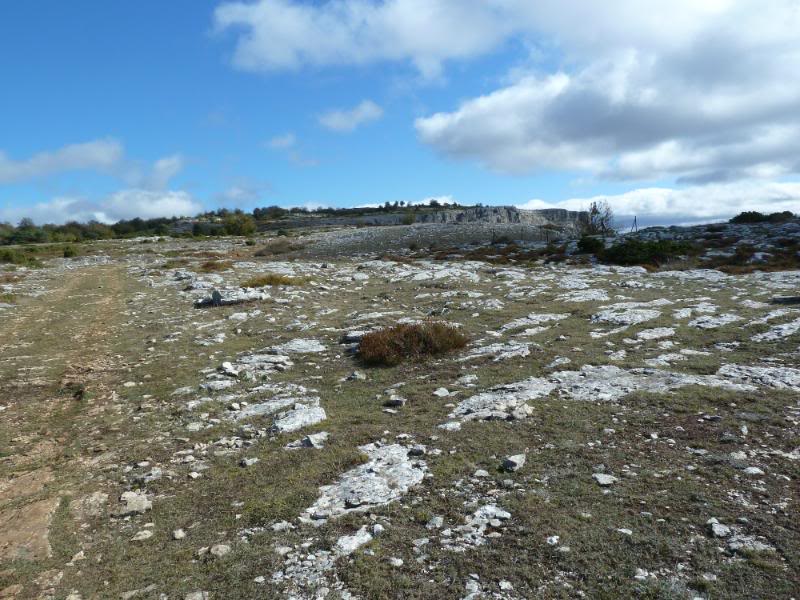
Subiendo a la sierra.
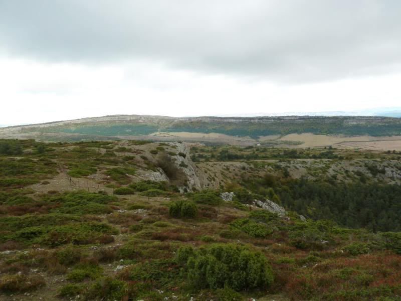
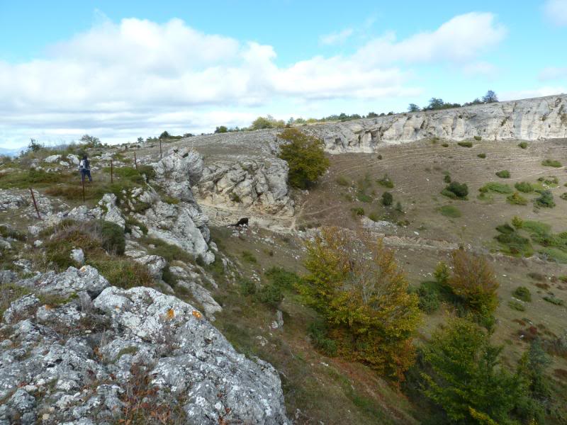
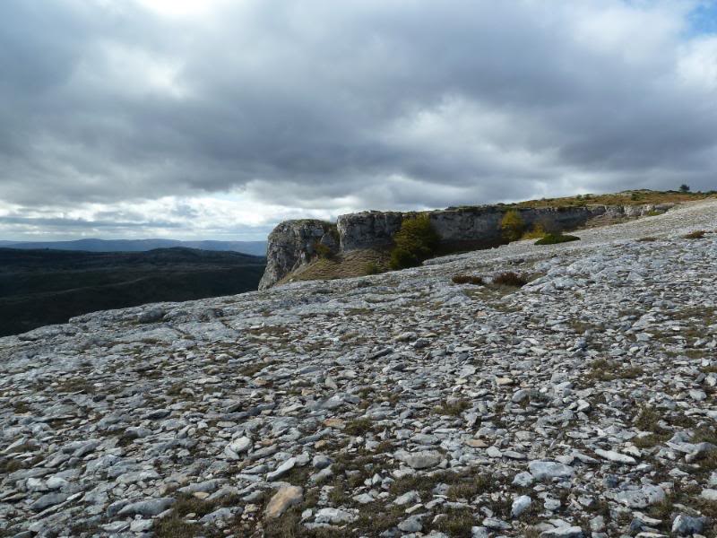
Panorámica.

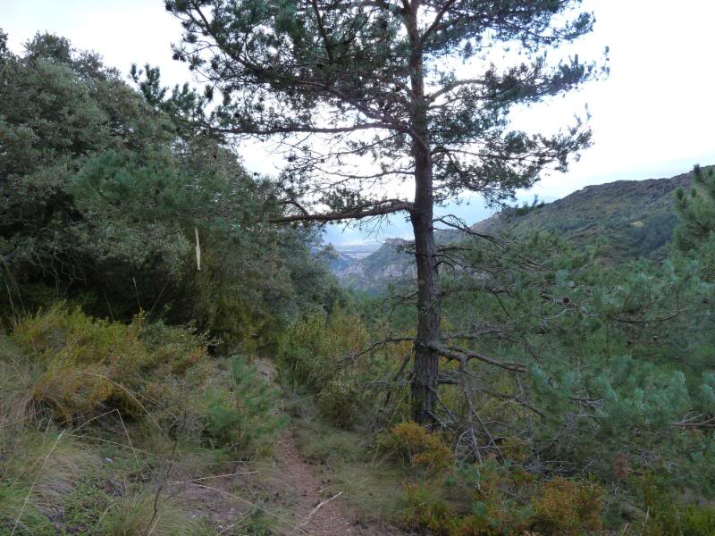
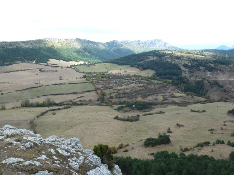
Mirada al barranco de donde venimos.
Mirada.
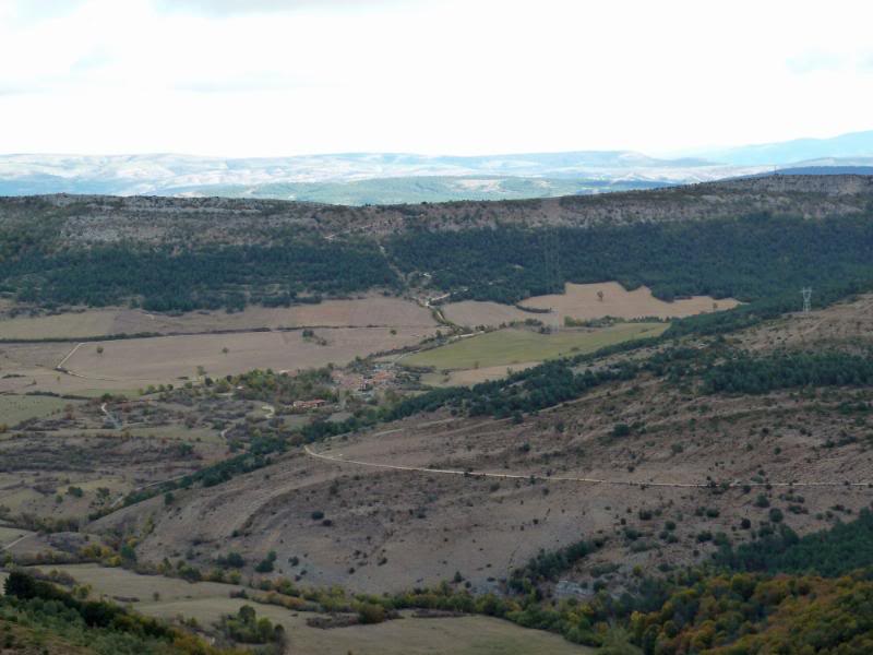
Ahí abajo Lalastra.
Miradas.
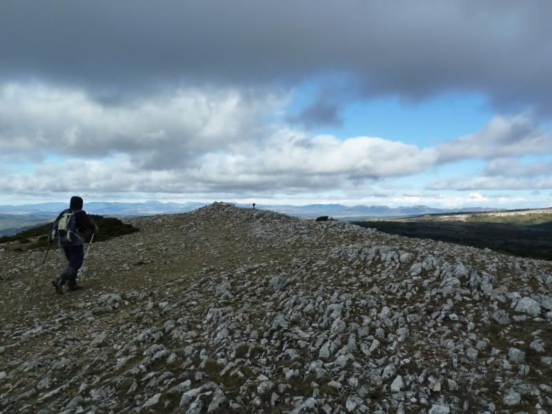
Llegando al buzón.
Cima de Vallegrull.
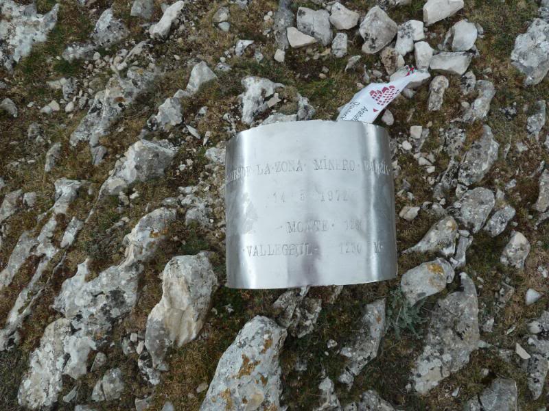
El buzón.
Vamos hacia la ermita.
Mirada a la sierra.
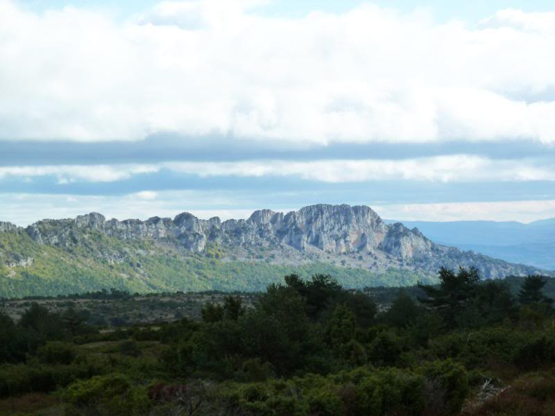
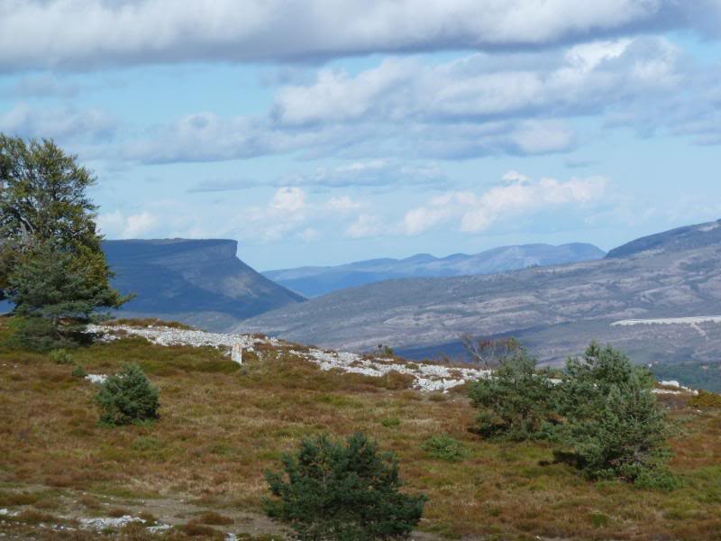
Creo que es Peña Karria.
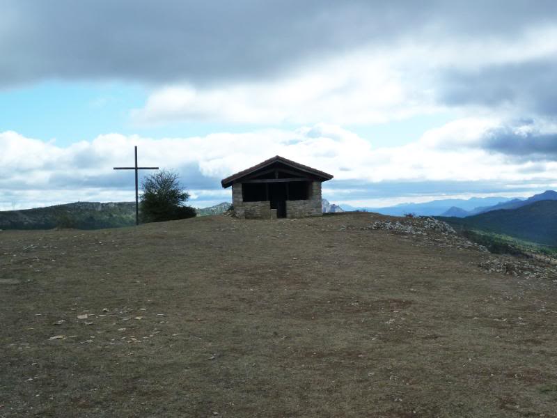
Llegando a la ermita.
Mirada abajo.
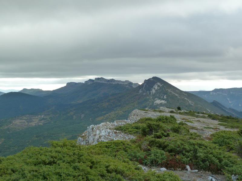
Panorámica de la sierra.
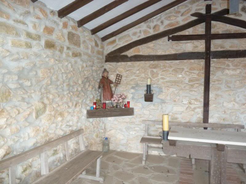
Capilla de San Lorenzo.
Vamos a Recuenco.
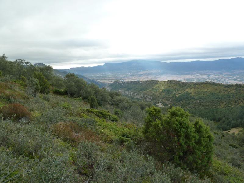
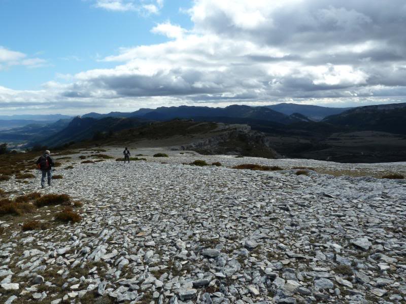
Panorámica.
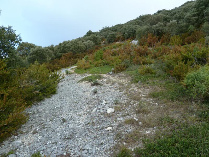
Seguimos.
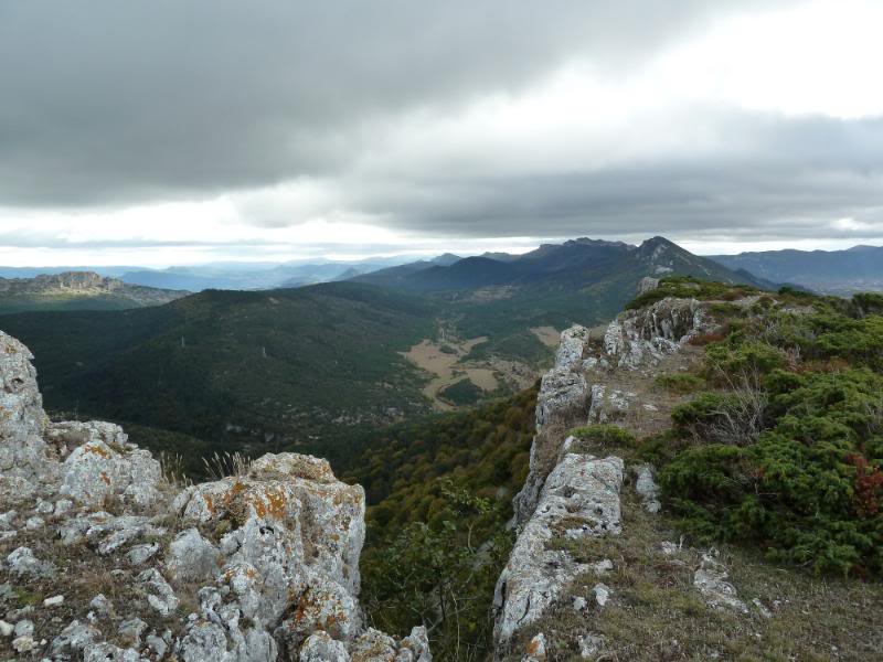
Panorámica.
Seguimos.
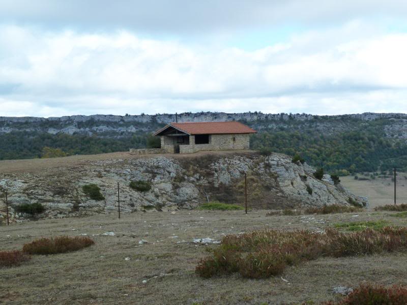
Poste indicador.
Llegando.
Cima de Recuenco.
Buzón cimero.
El otro vértice.
Mirada atrás.
Continuamos.
Creo que por ahí empieza la sierra Salvada.
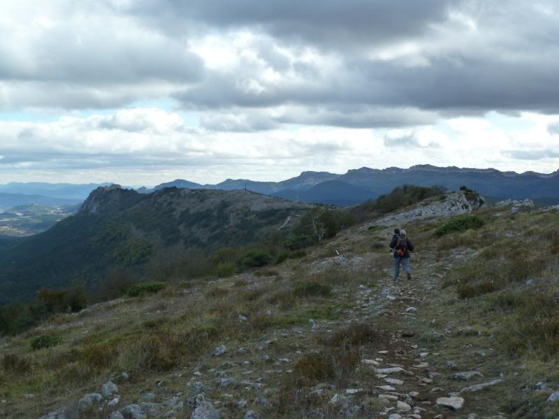
Seguimos al portillo de la sierra.
Ya vemos Lalastra.
Llegamos a la carretera.
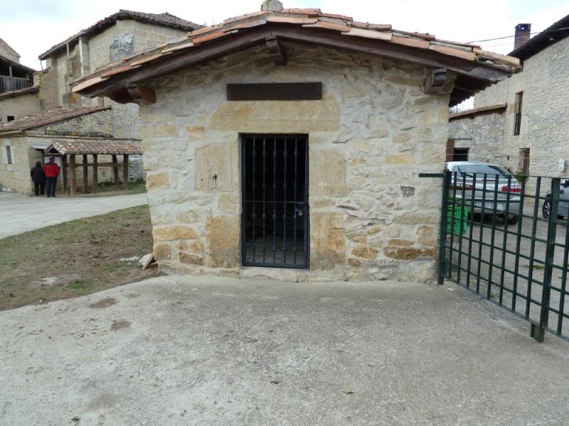
El horno del pan en Lalastra.
La iglesia.
De regreso a casa,Salinas de Añana.