Hola amigos.
Para terminar el año montañero,nos hemos venido a la hermosa sierra de Aralar para ascender a la cima de Irumugarrieta que es la más alta de la sierra y la hemos ascendido desde el aparcamiento de Albi un poco antes del aparcamiento de Guardetxe.
ACCESO
Desde Pamplona carretera San Sebastián hasta Lecumberri y de aquí por la carretera del Santuario de San Miguel de Aralar.
ITINERARIO.
ALBI 990 M
BORDA DE BUSTINTZA 1130 M
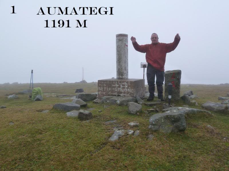
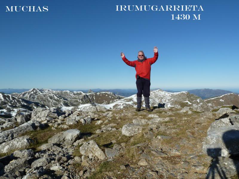
CIMA DE IRUMUGARRIETA 1430 M
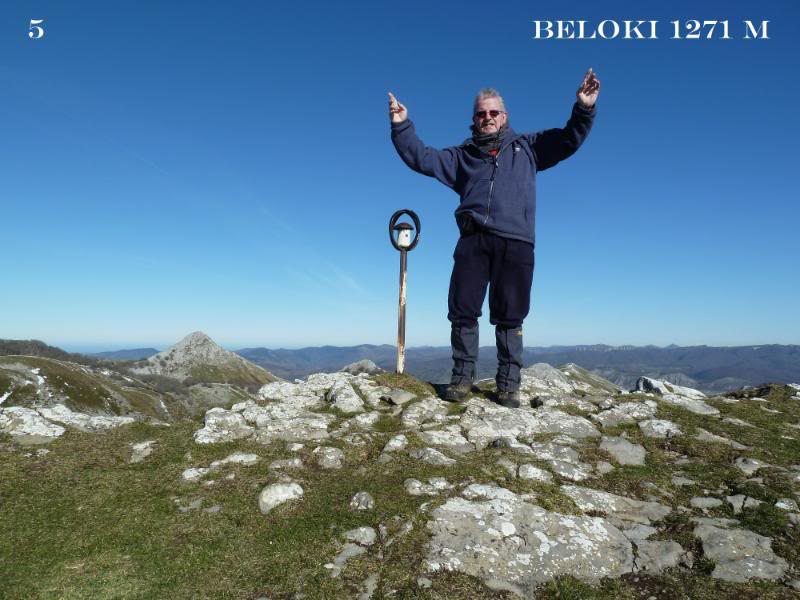
CIMA DE BELOKI 1271 M
ALBI 990 M
DESNIVEL ACUMULADO 510 M
DISTANCIA I-V 15 KM
TIEMPO 6,30 HORAS
TIEMPO EN MOVIMIENTO 5 HORAS.
DESCRIPCIÓN
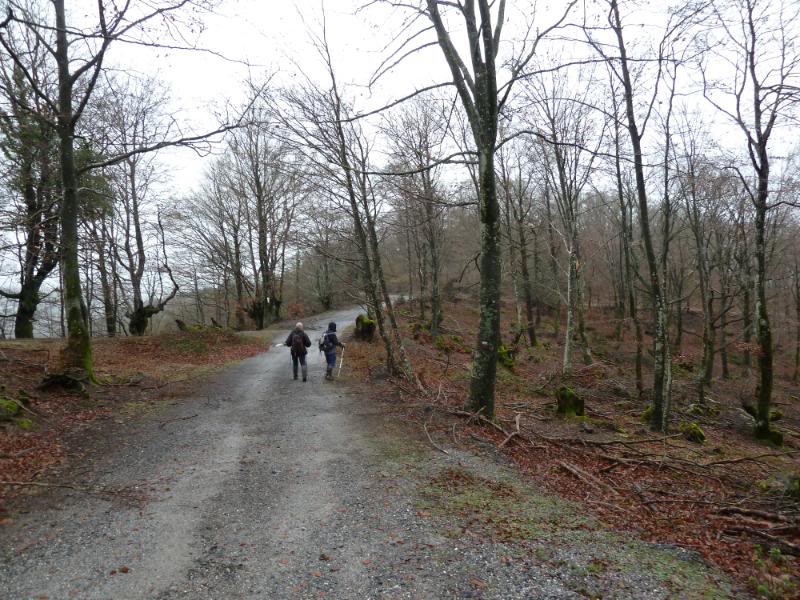
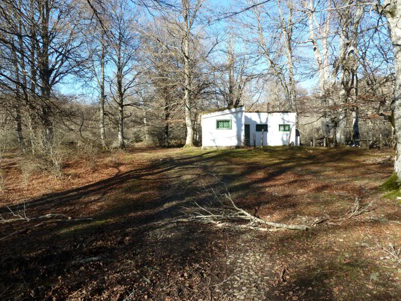
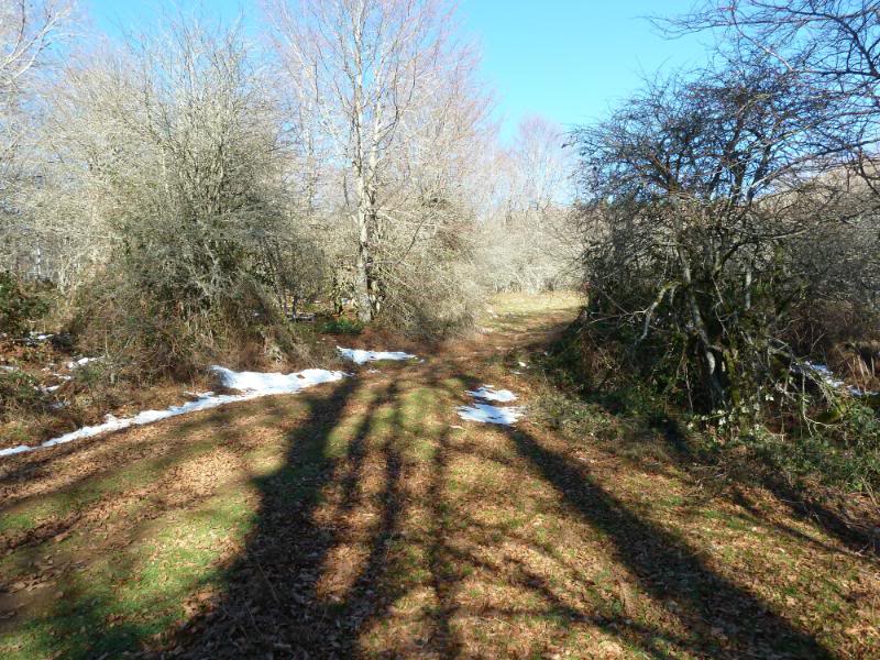
Salimos del final del aparcamiento por la pista llegando enseguida donde una caseta pintada de blanco. Seguimos la pista por la izquierda y la seguimos y llegamos donde viene de la izquierda otra pista,seguimos de frente.
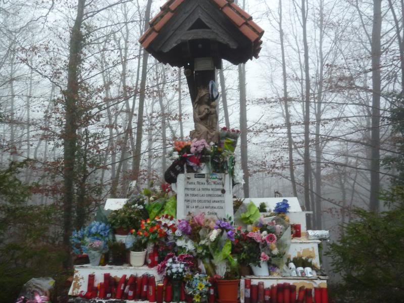
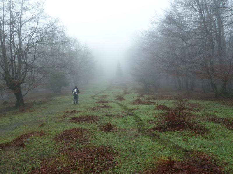
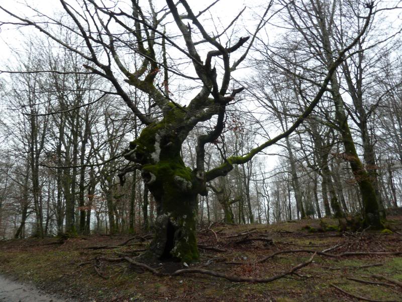
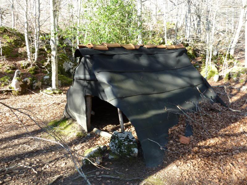
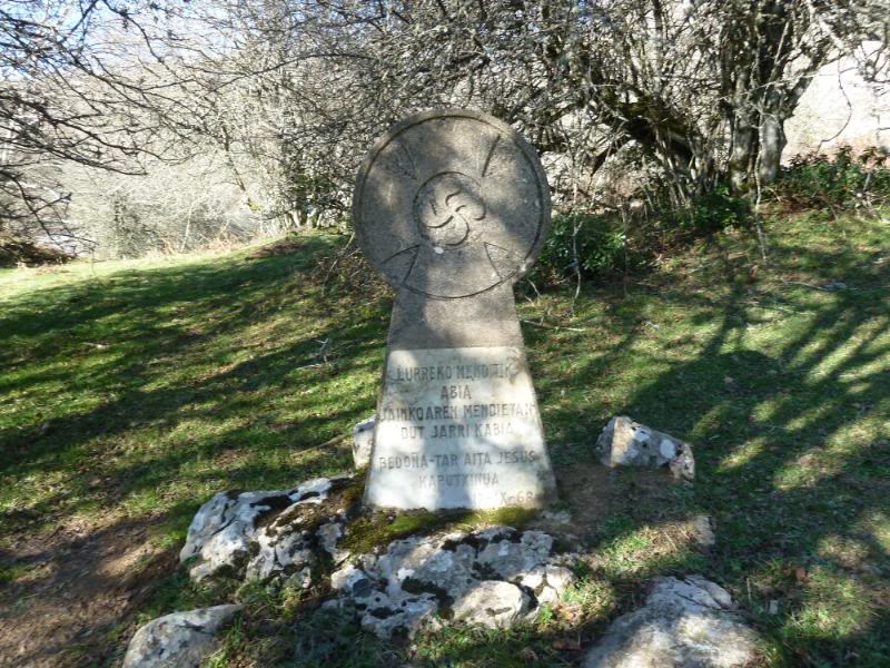
Llegamos a un claro en el bosque y la pista gira a la izquierda y vemos una choza de las que antiguamente dormían los pastores. Seguimos en ascenso y llegamos donde un abetal que pasamos por su izquierda y vemos una estela funeraria dedicada a un capuchino.
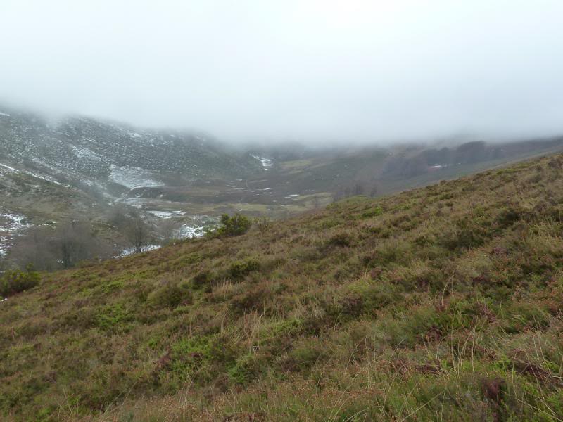
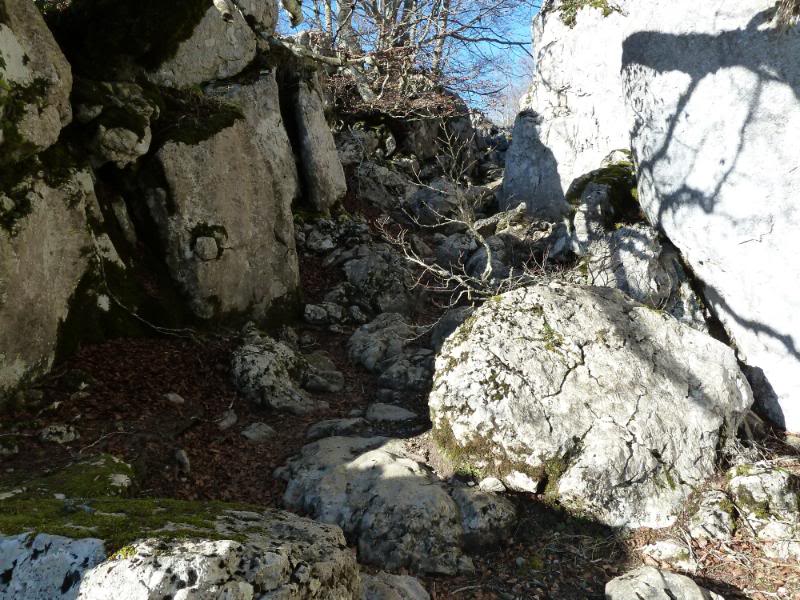
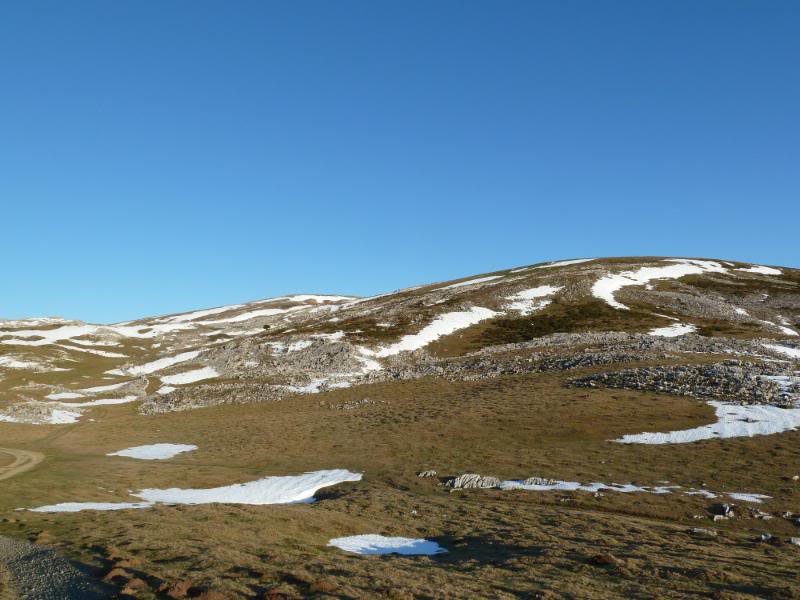
El sendero se mete ahora en un roquedo saliendo a un raso donde enseguida llegamos a la borda de Bustintza y siguiendo el sendero salimos a un pequeño circo donde por el collado de la derecha pegados a las laderas de Beloki,subimos a los pastizales de Aralar.
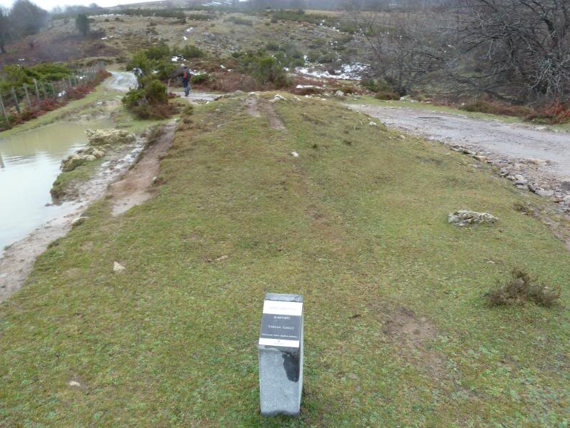
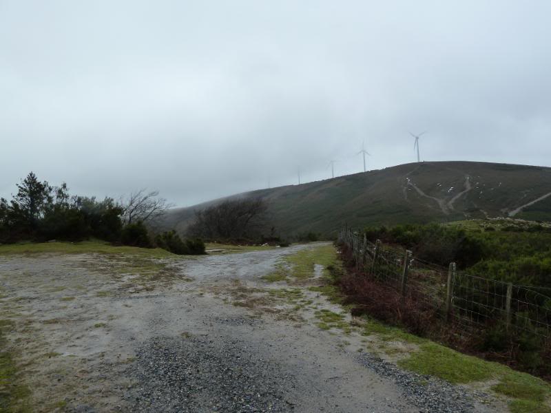
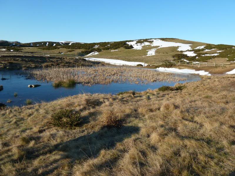
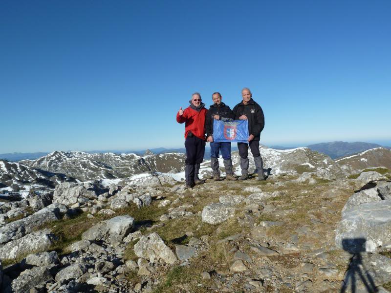
Ahora seguimos la pista con marcas de la GR 12 y llegamos a la balsa Uganako Putzua . Seguimos hasta el dolmen Txikuarri donde viene el camino desde Guardetxe y por la derecha siguiendo unas marcas rojas,llegamos a la cima.
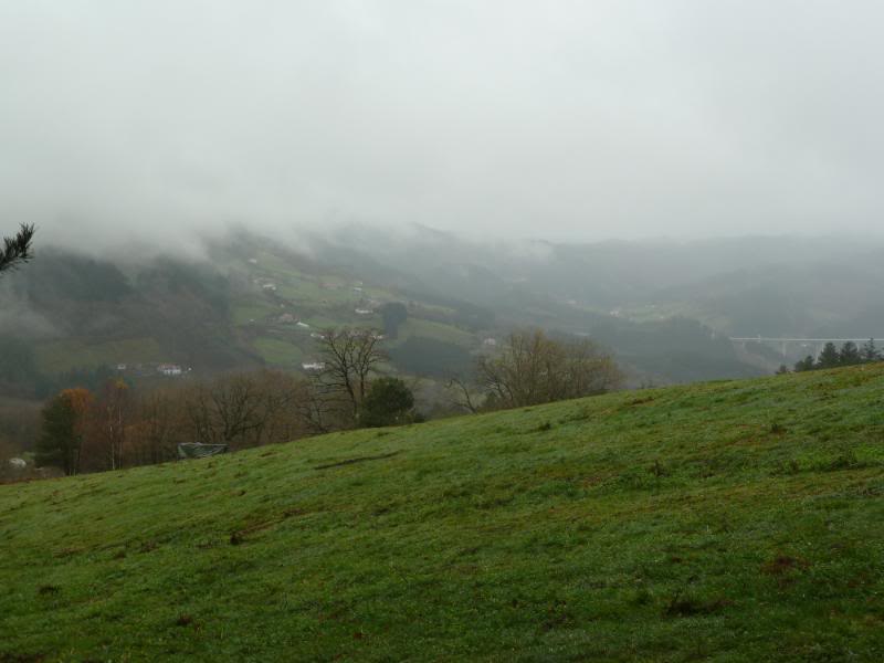
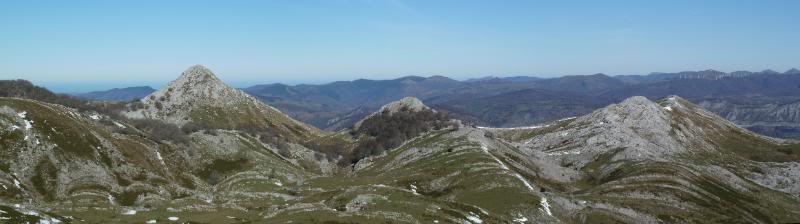
Hoy el día si que está bueno y las vistas son fabulosas. Después de almorzar y sacar unas fotos,regresamos hasta la base de Beloki y subimos a su cima,nos hacemos la foto admiramos sus vistas y regresamos al aparcamiento.
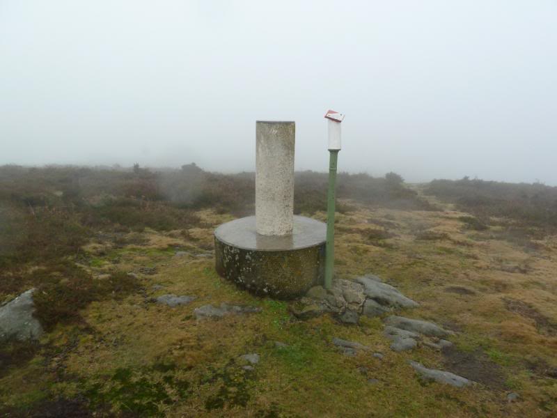
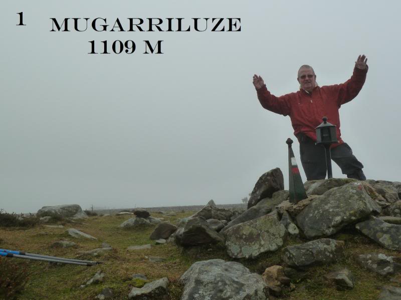
PD. Un bonito día nos ha ofrecido la naturaleza compensando el mal día que nos hizo en Mugarriluze.
De regreso a casa un café bien caliente en Baraibar.
SI NO SE VEN LAS FOTOS,PINCHAR AQUÍ
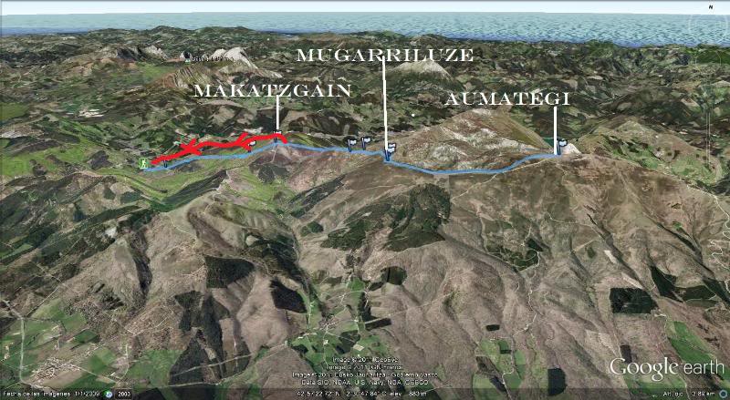
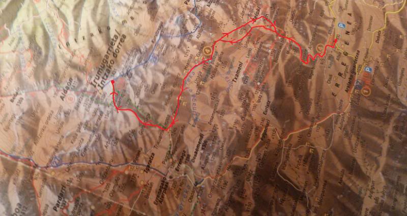
Croquis de la marcha.
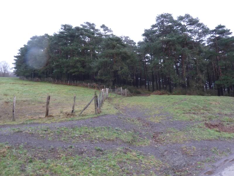
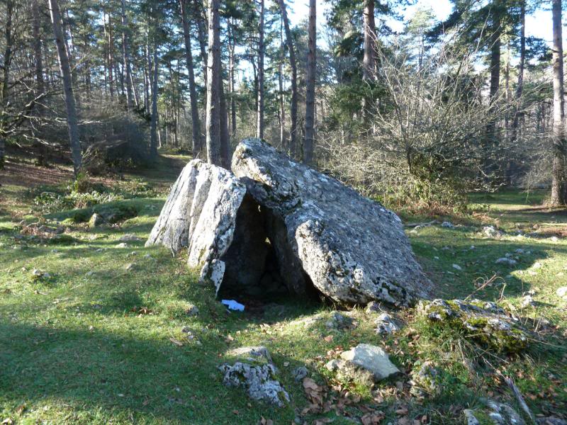
Dolmen de Albi.
Caseta pintada de blanco.
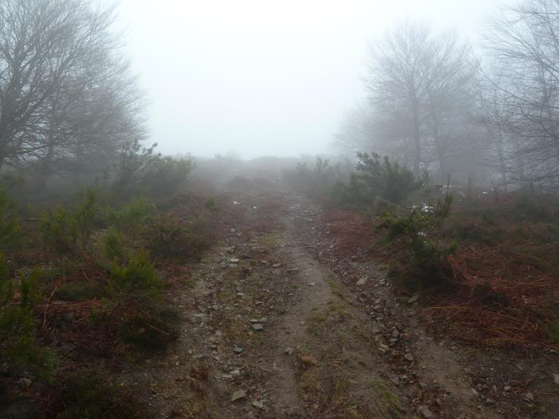
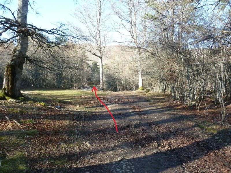
Seguimos de frente.
Cabaña antigua de pastores.
Seguimos.
Estela funeraria.
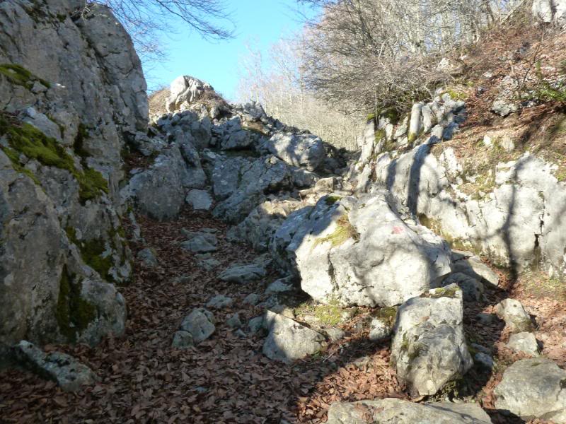
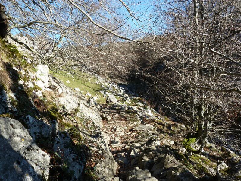
Entramos en el estrecho entre rocas.
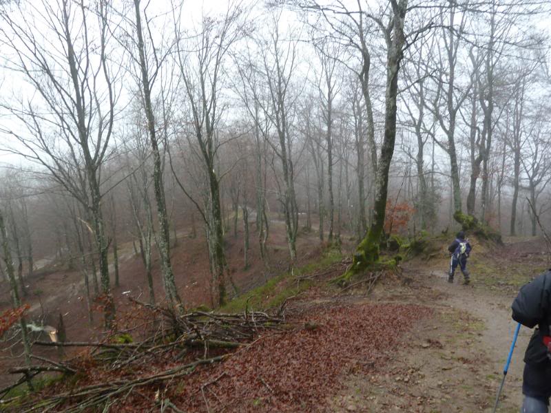
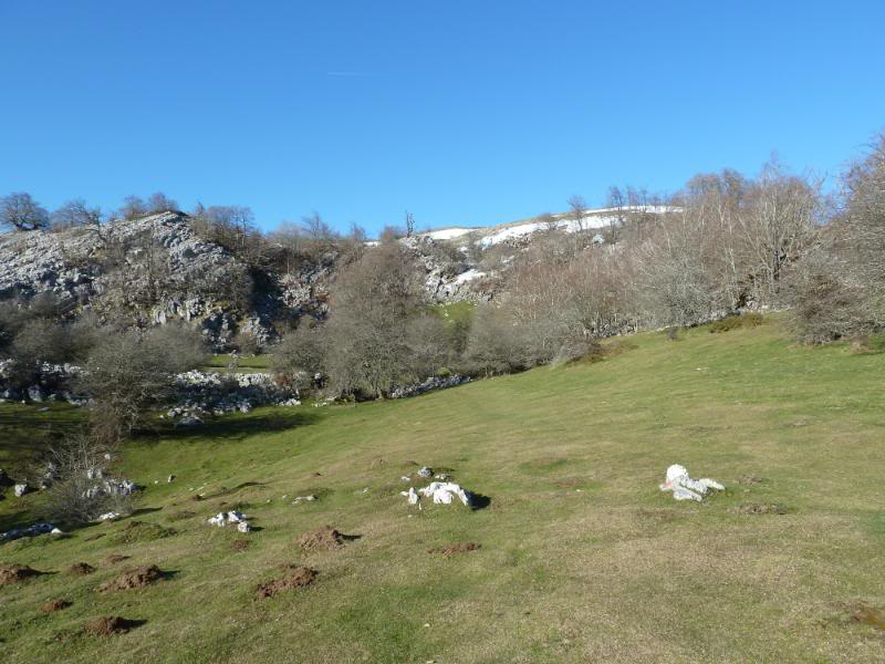
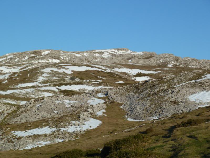
Salimos a está campa.
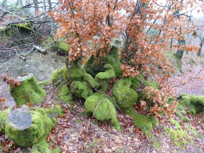
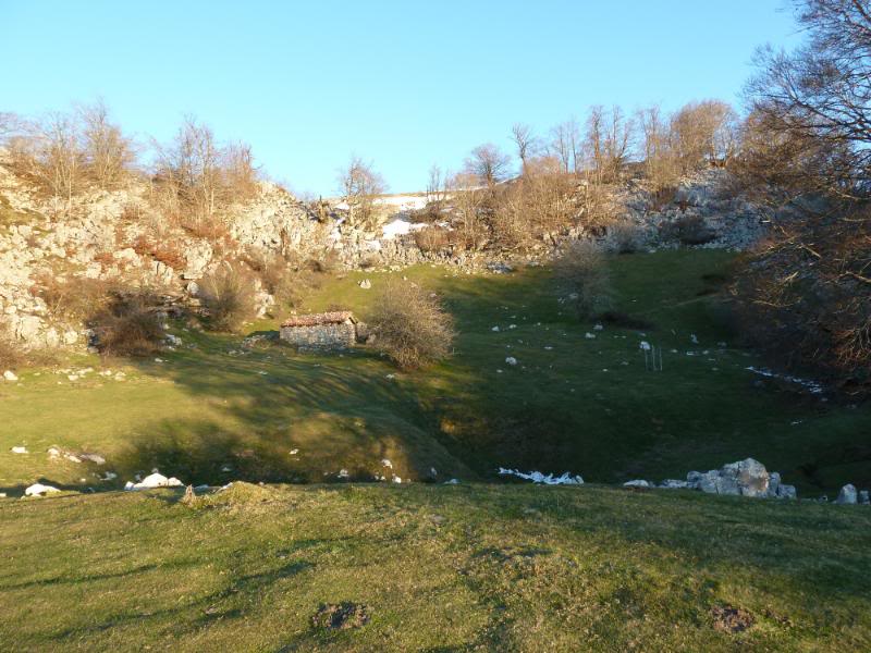
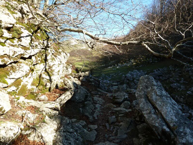
Pasamos por la borda de Bustintza.
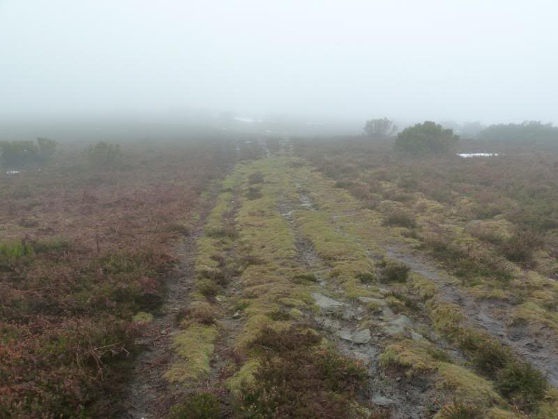
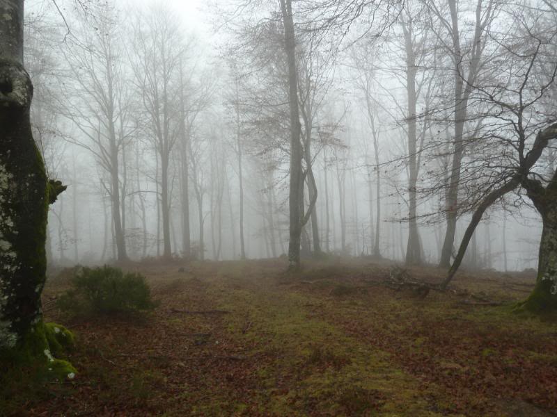
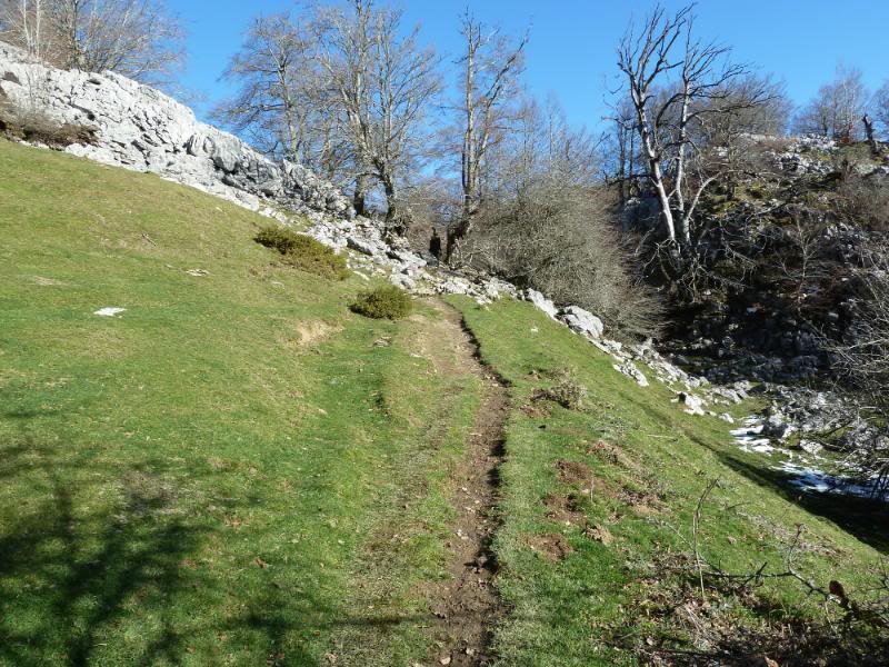
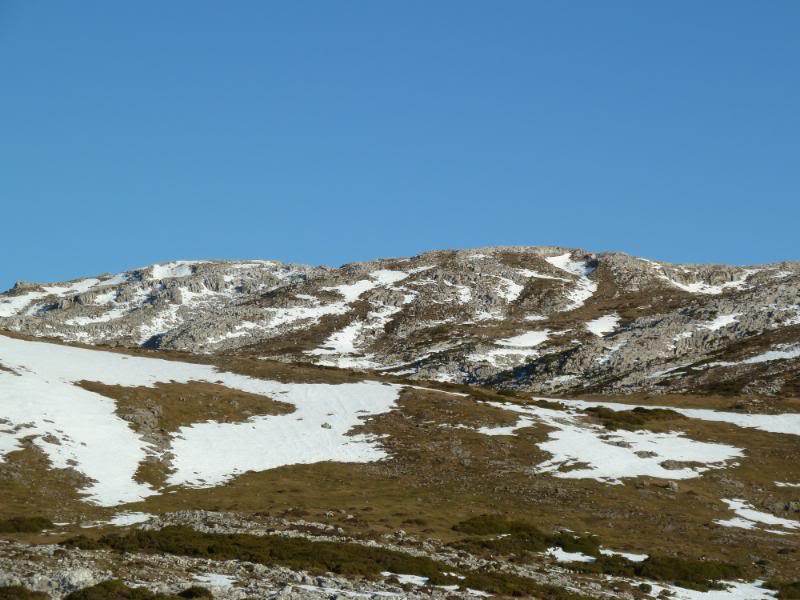
El sendero.
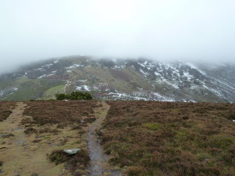
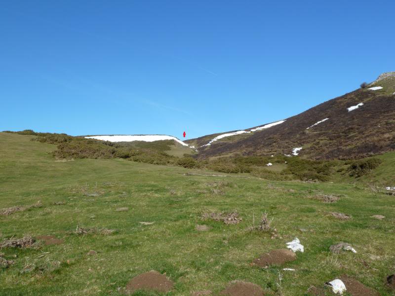
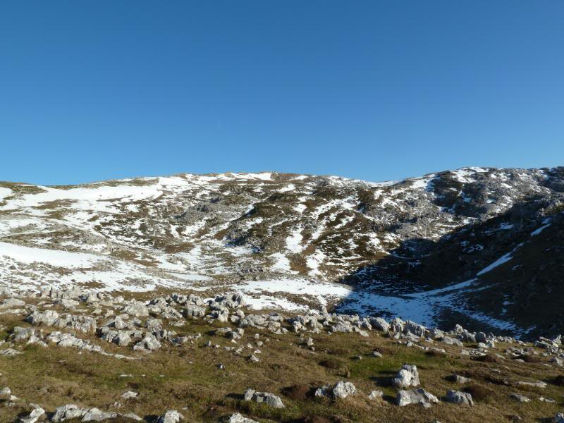
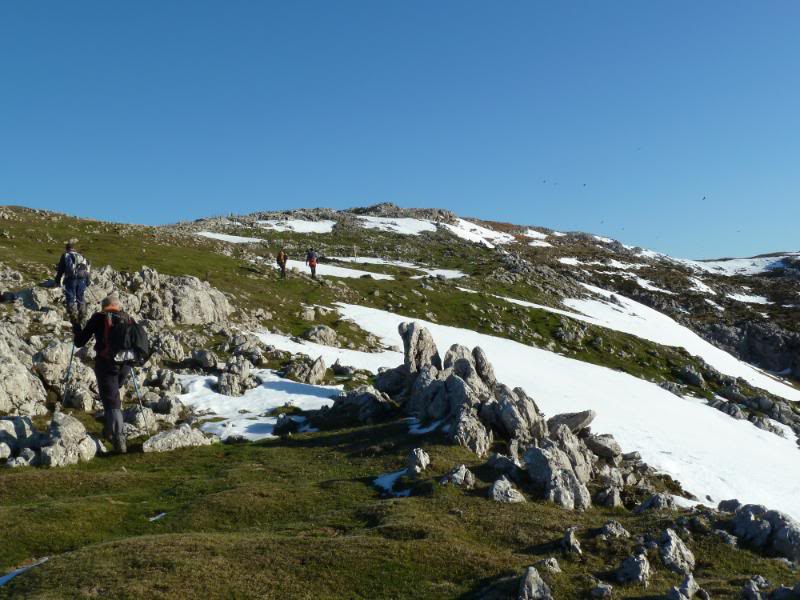
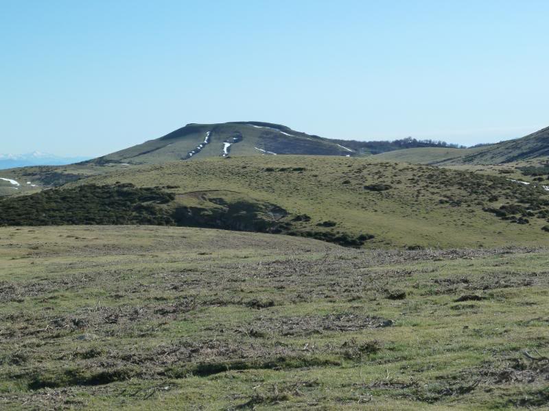
Salimos al pequeño circo y subimos por el collado marcado en rojo.
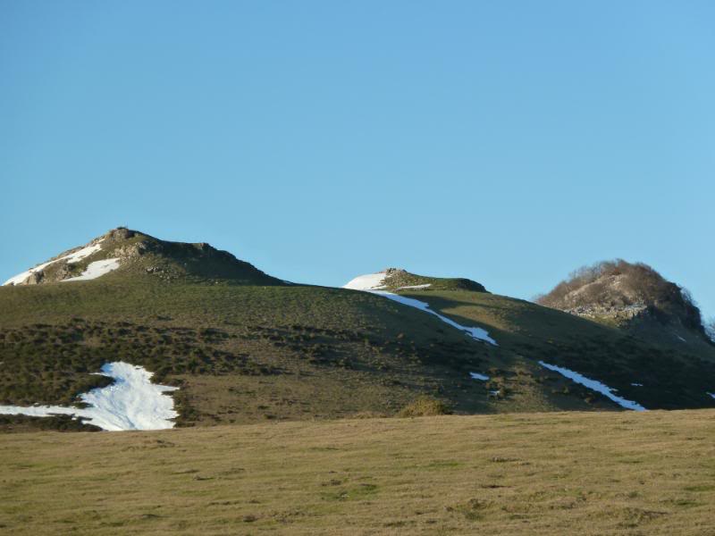
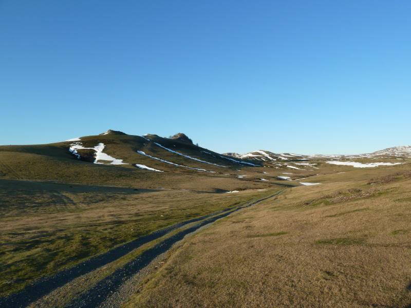
Llegamos a los pastizales y vemos Txemiñe.
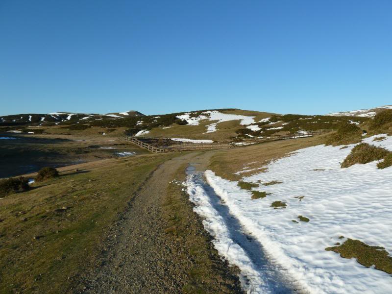
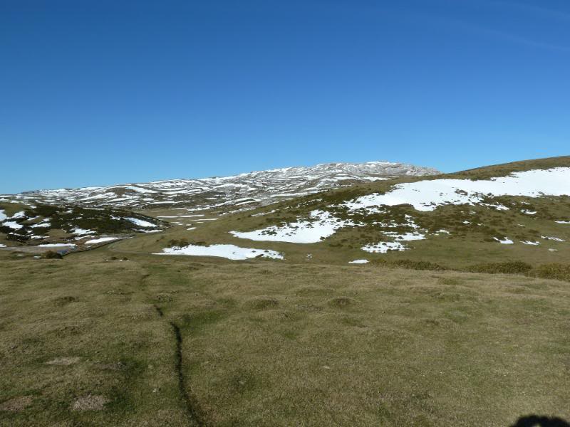
Seguimos la GR 12.
Llegando a la balsa.
La balsa.
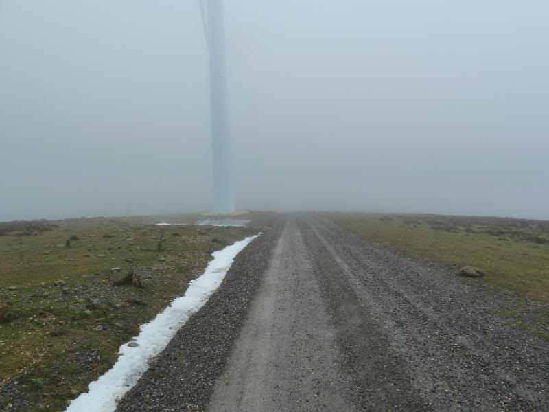
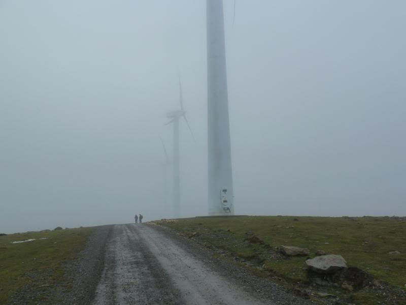
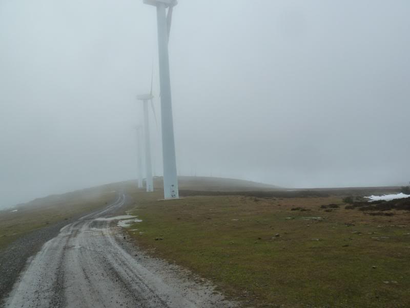
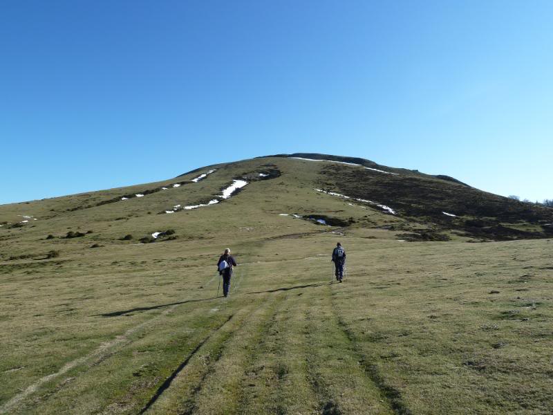
Ahora a por la cima.
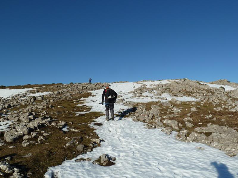
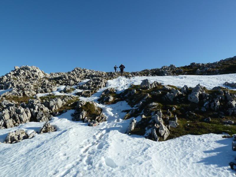
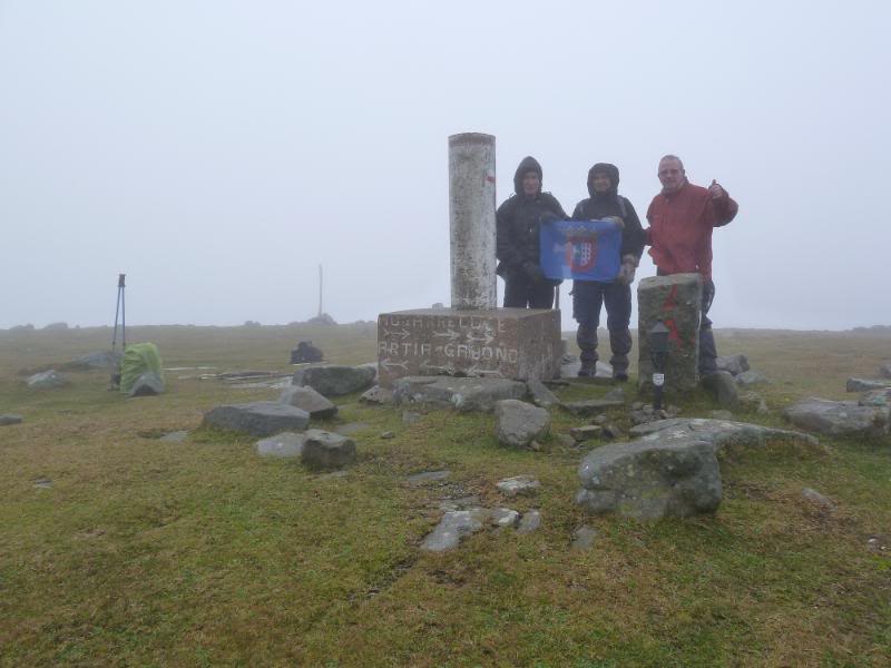
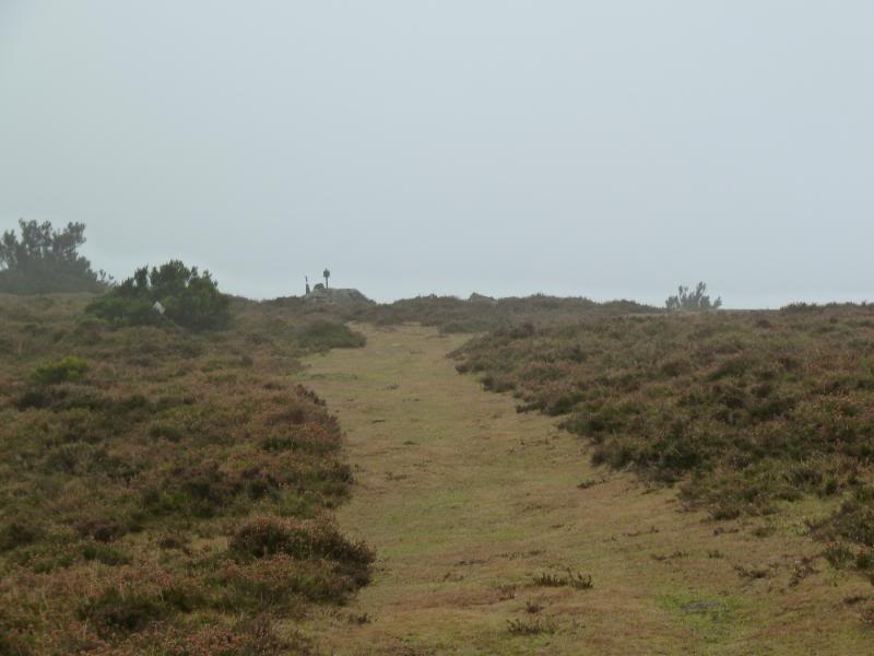
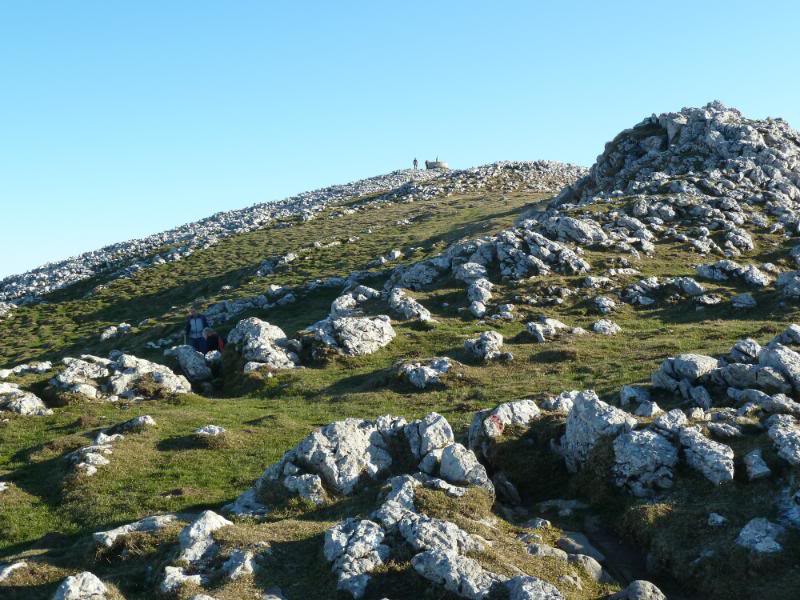
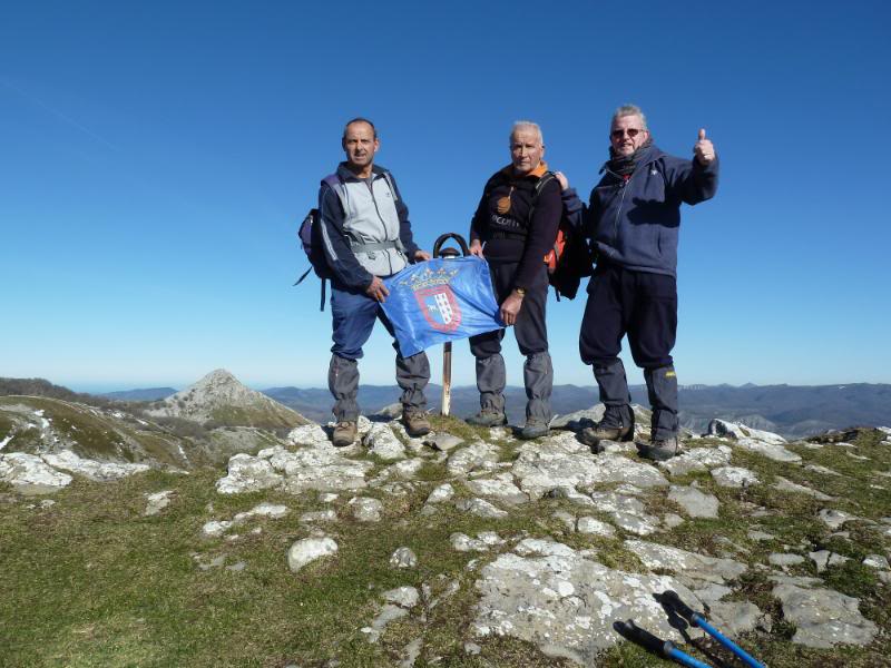
Llegando a la cima.
En la cima de Irumugarrieta.
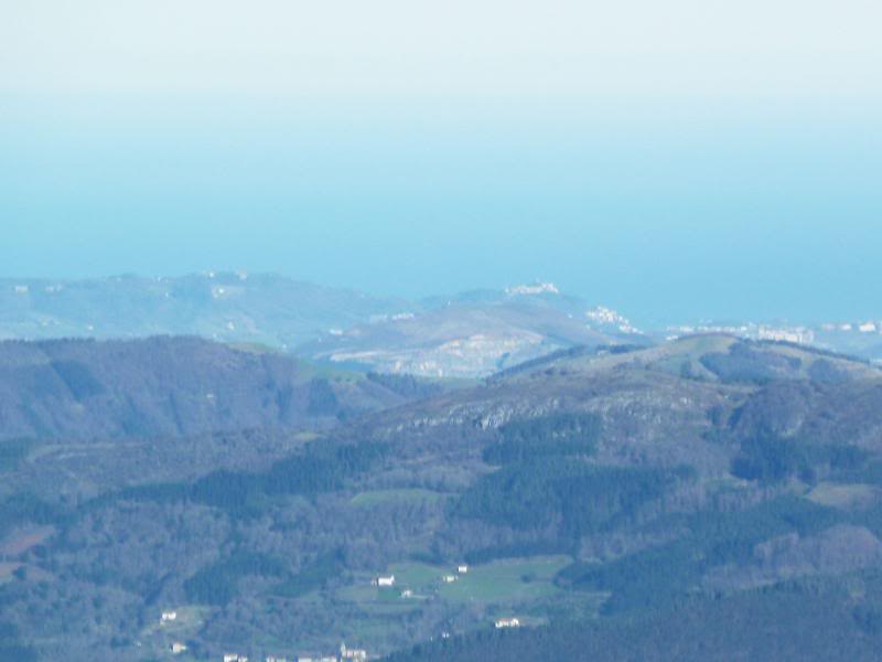
Zoom a Donostia.
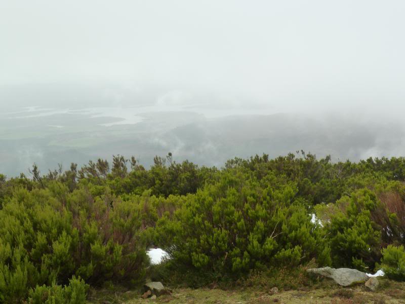
Miradas.
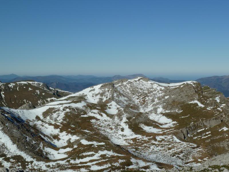
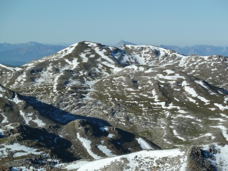
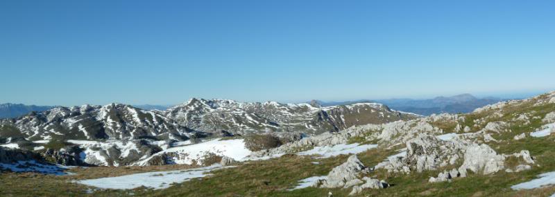
Panorámica.
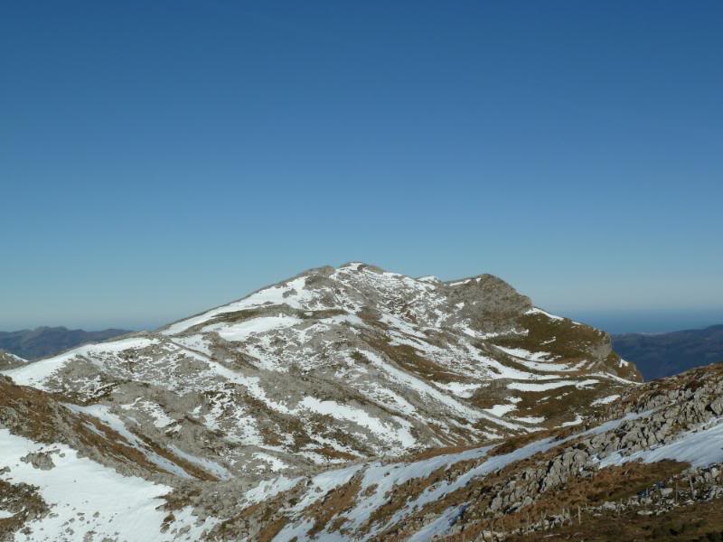
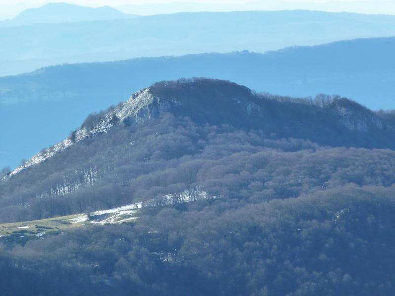
Vemos Aldaon.
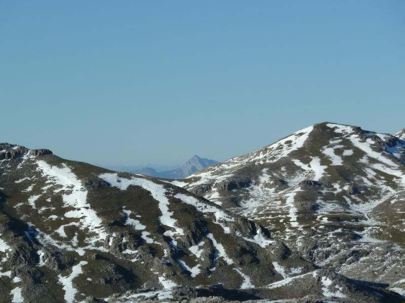
Al fondo Anboto.
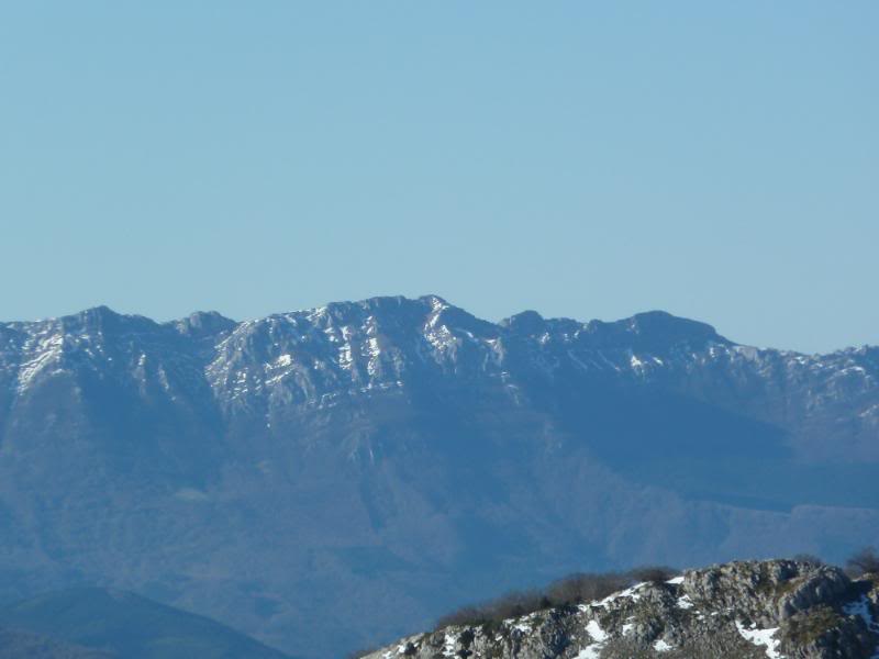
Aitzkorri.
Putxerri.
Panorámica virtual 360º
Pinchar aquí
Para ver pantalla completa pinchar en el Icono de la izquierda.
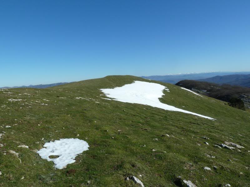
Vamos hacia el Beloki.
Mirada atrás.
Llegando a la cima.
En la cima de Beloki.
Panorámica.
Panorámica virtual 360º
Pinchar aquí
Para ver pantalla grande, pinchar el icono de la izquierda.