Hola amigos.
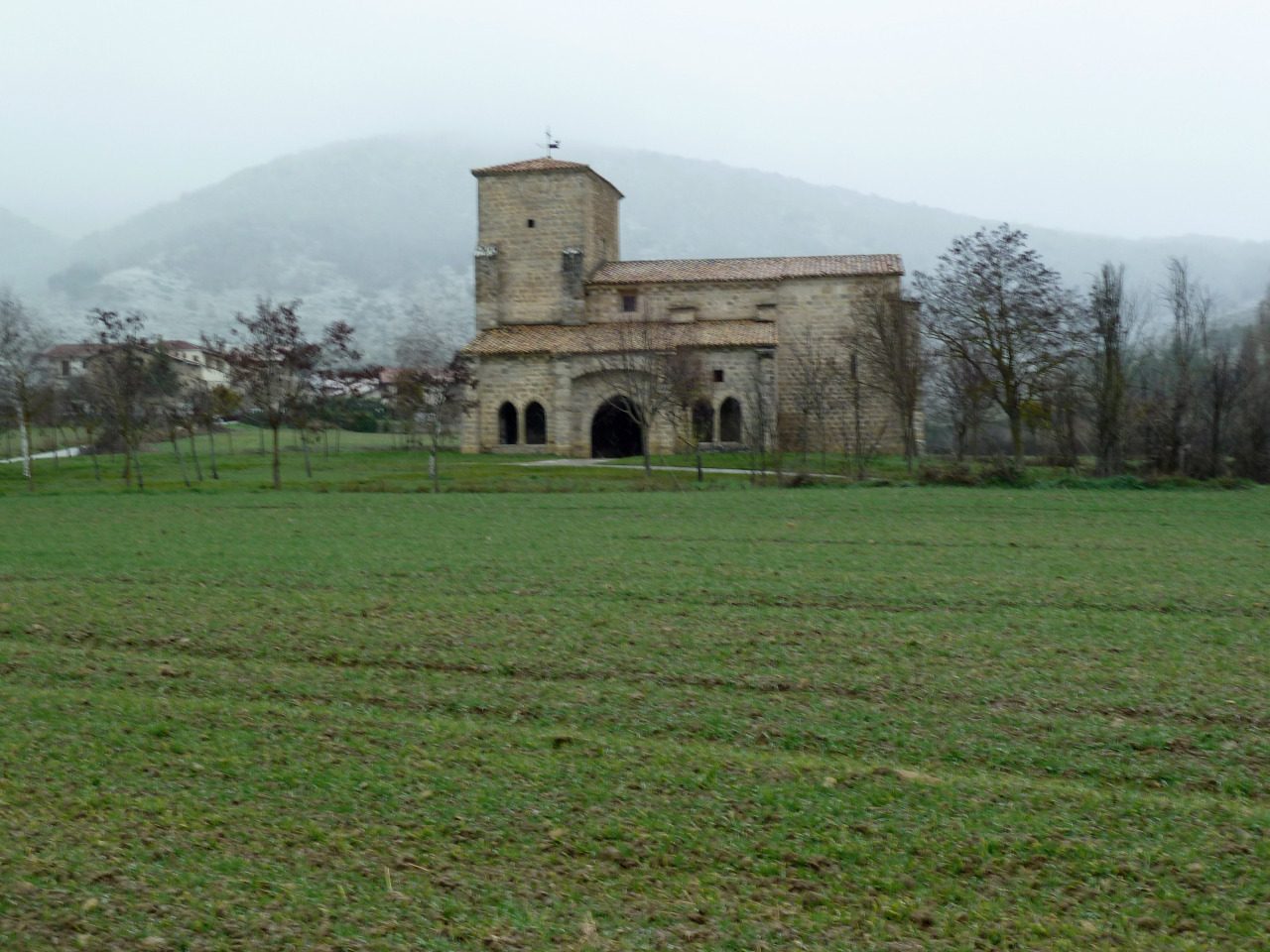
Hoy martes que ha entrado el anticiclón hemos aprovechado para ir a la localidad Navarra de Lumbier para ascender a la cima de Arangoiti.
ACCESO GUÍA MICHELÍN
ITINERARIO
APARCAMIENTO 466 M
BALSA DE IBARRA 925 M
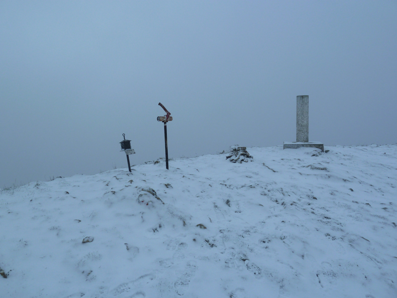
CIMA DE ARANGOITI 1355 M
DESNIVEL 900 M
DISTANCIA I-V 20 KM
TIEMPO EN MOVIMIENTO 6,49 HORAS
DESCRIPCIÓN
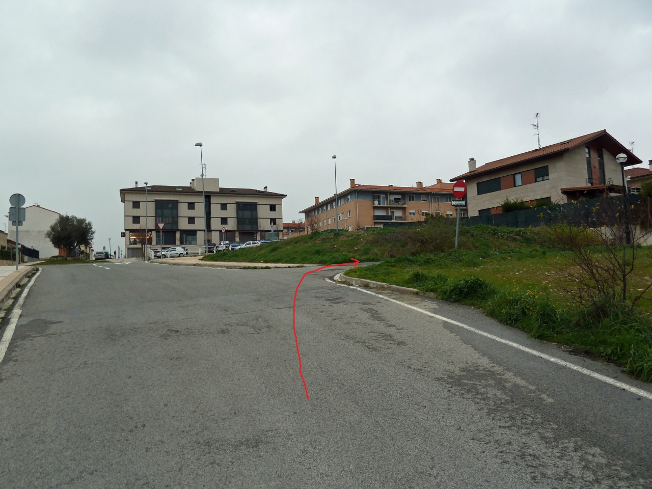
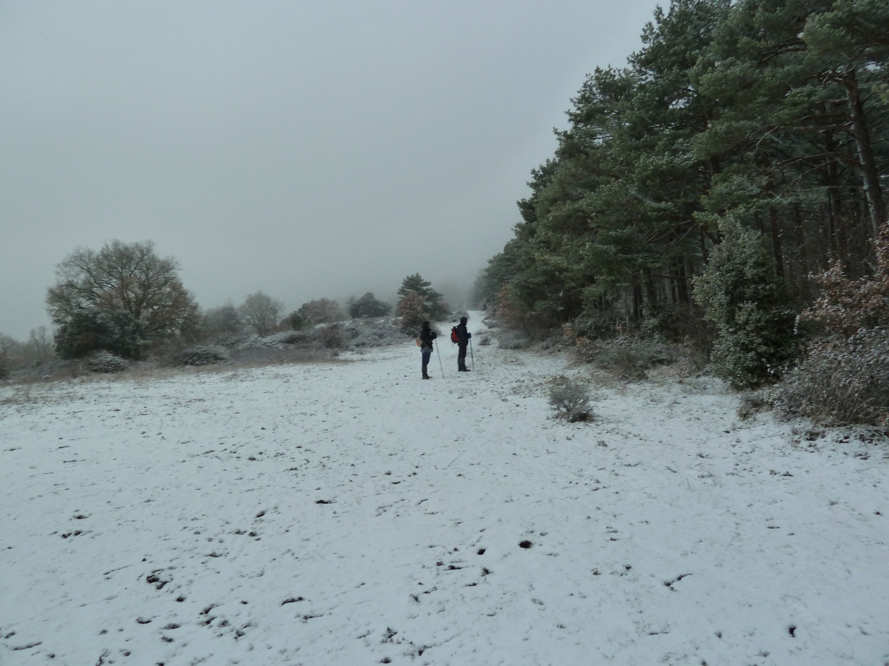
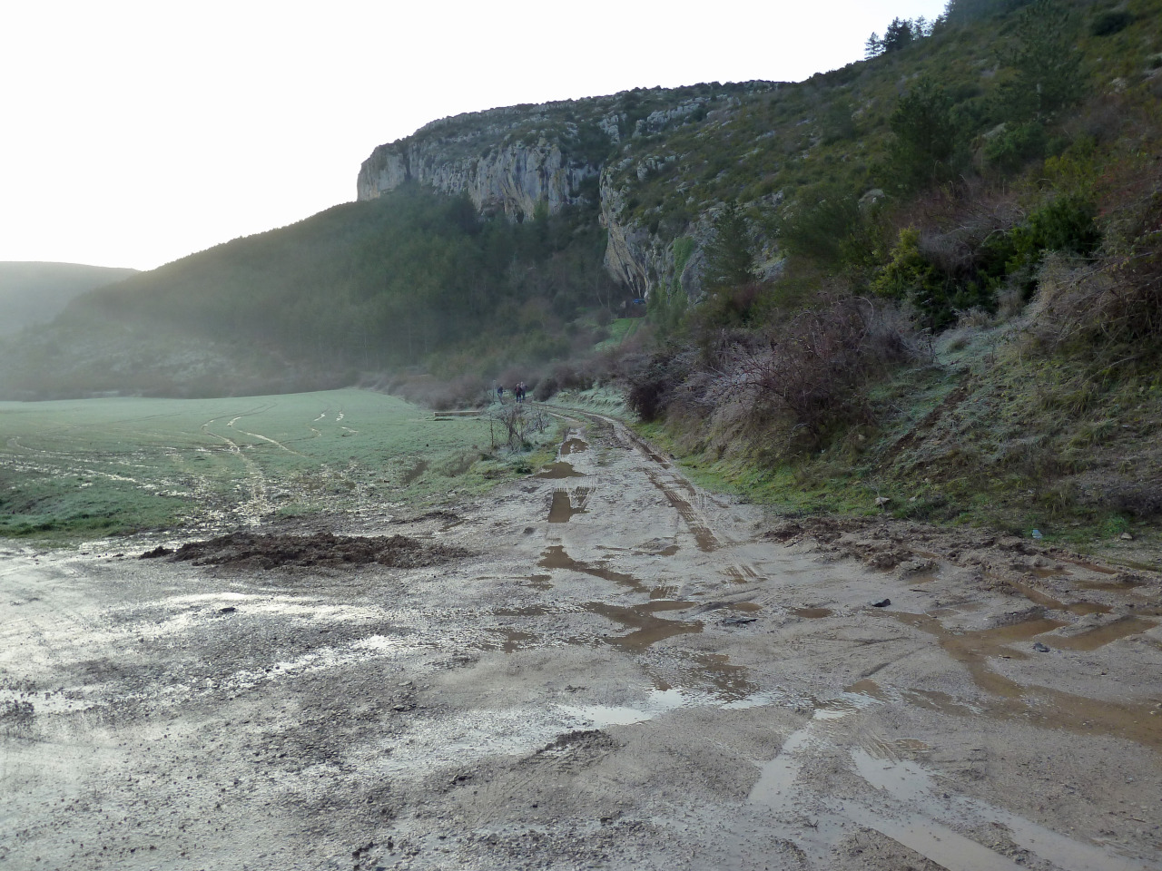
Aparcamos en el aparcamiento a la entrada del camping, bajamos hacia el puente de Sielva sobre el río Salazar y tomamos la pista de la derecha y seguimos por ella dejando la que sube donde unas peñas. La pista va con el pinar a la derecha y seguimos siempre por la principal no haciendo caso a las que se van por la izquierda o la derecha.
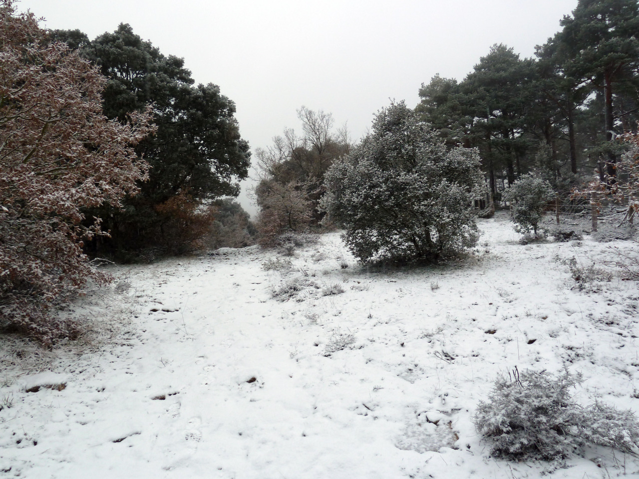
Llegamos donde hay un hito a mano derecha y dejamos la pista para subir por sendero siempre en ascenso que nos saca a una pista y siguiéndola llegamos donde la balsa de Ibarra. Aquí hay un hito a mano izquierda que no hacemos caso de el pues el camino para subir desde ahí al Arangoiti no es muy bueno. Seguimos la pista hasta donde empieza a bajar hacia Leire y aquí hay un hito a la izquierda que marca el sendero bueno para subir al Arangoiti.
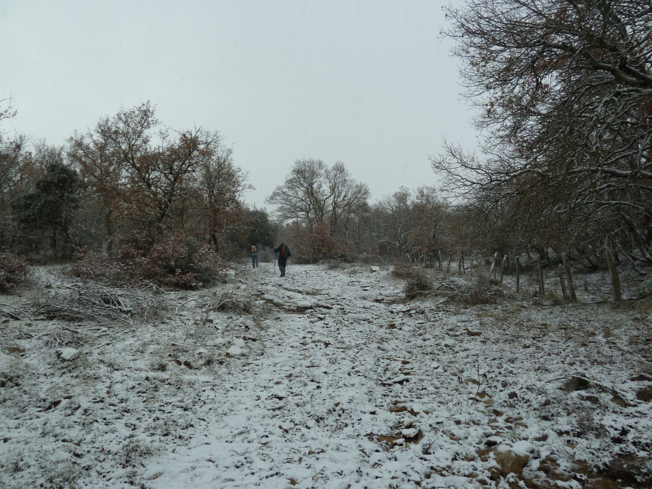
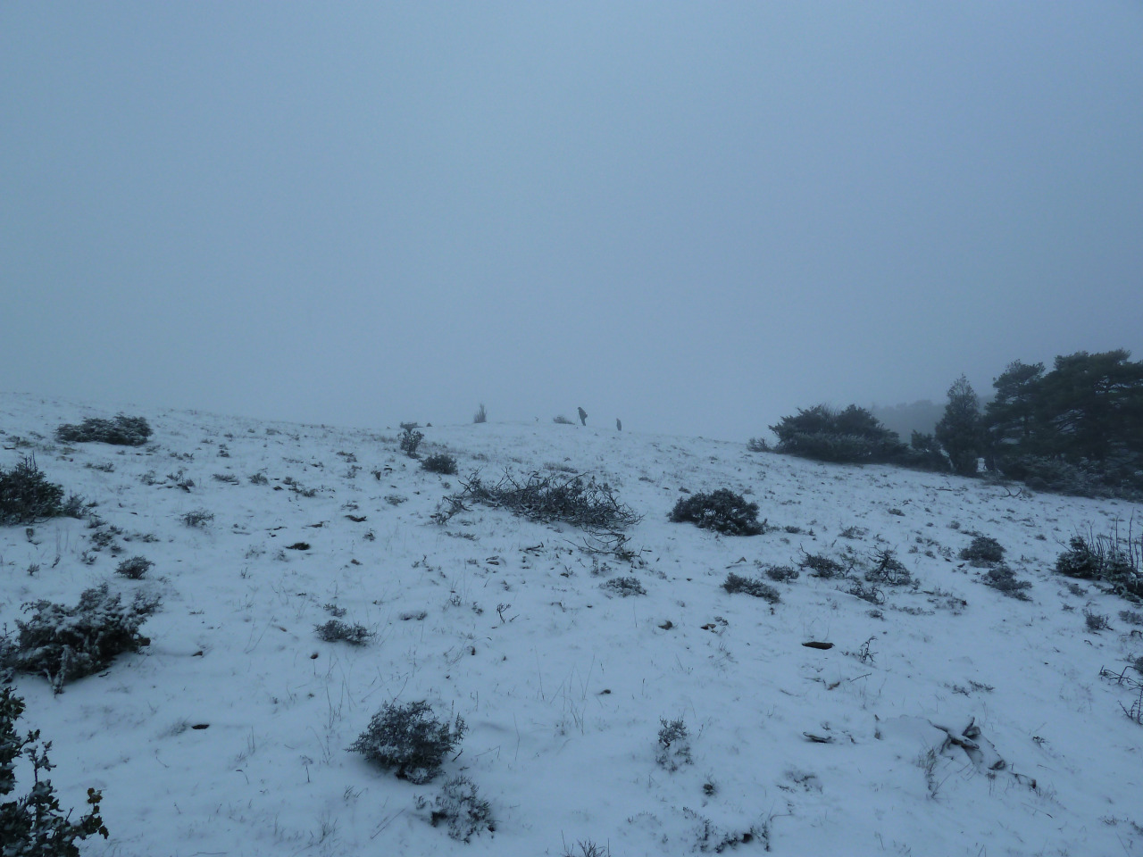
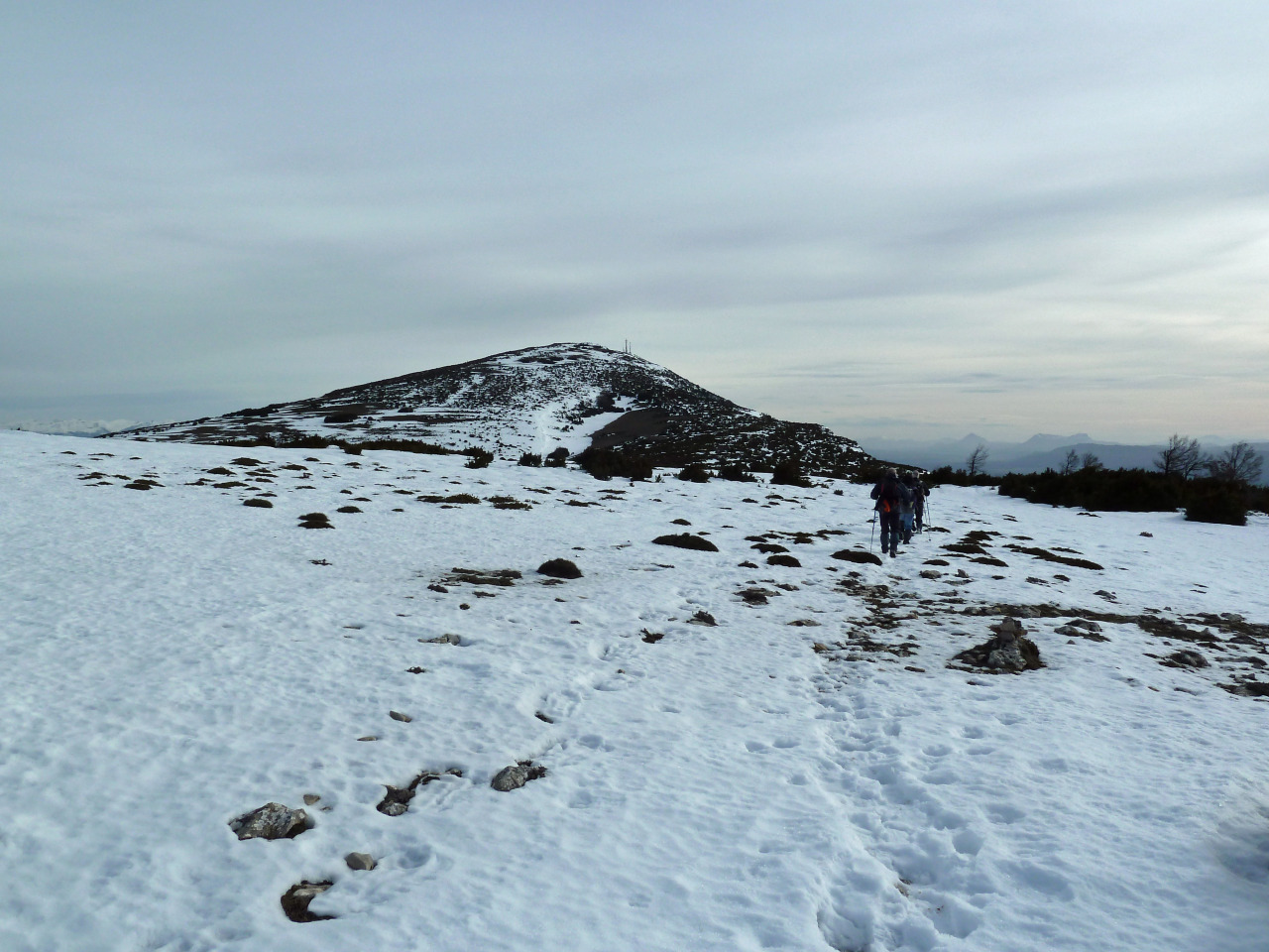
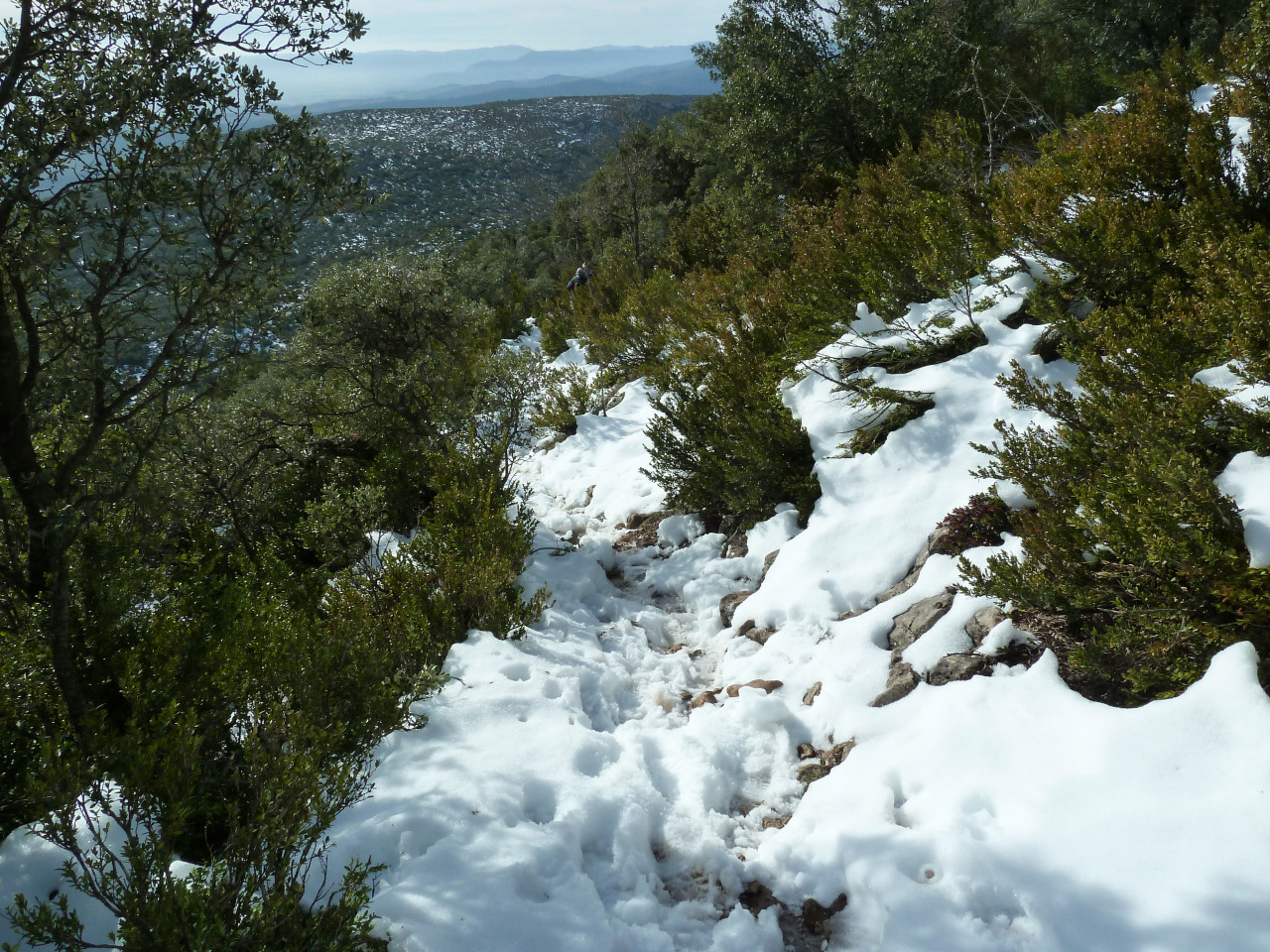
El principio de este sendero es muy empinado pero enseguida se suaviza, llegamos al lomo de la sierra y ahora no hay más que seguir que ya se ve la cima pero falta bastante . Pasamos por una especie de puerta y hacemos una parada para comer algo. Seguimos ,hay algún hito de vez en cuando y así poco a poco,llegamos a la cima que tiene unas antena que la afean un poco pero las vistas son estupendas.
Después de estar un rato en la cima y de hacer unas fotos,regresamos por el mismo camino haciendo otra parada para comer. Llegados al aparcamiento,entramos en Lumbier para tomar una caña.
PD. Hoy debido a la nieve que había esta excursión que se puede hacer en unas 5.30 horas nos ha costado bastante más.
El Trak Pinchar para ver
SI NO SE VEN LAS FOTOS,PINCHAR PARA VERLAS
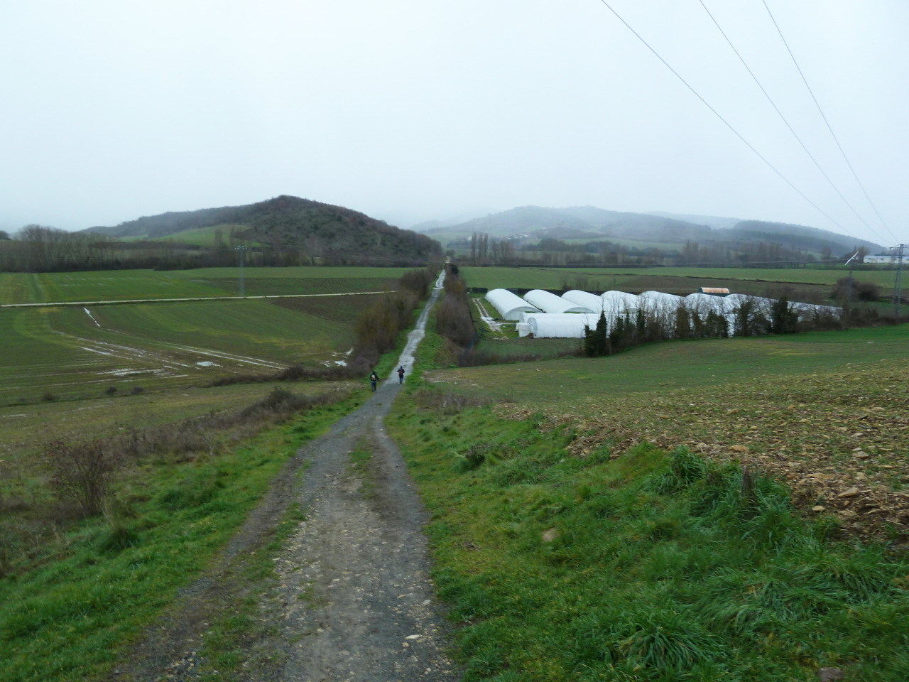
Aquí empieza la pista.

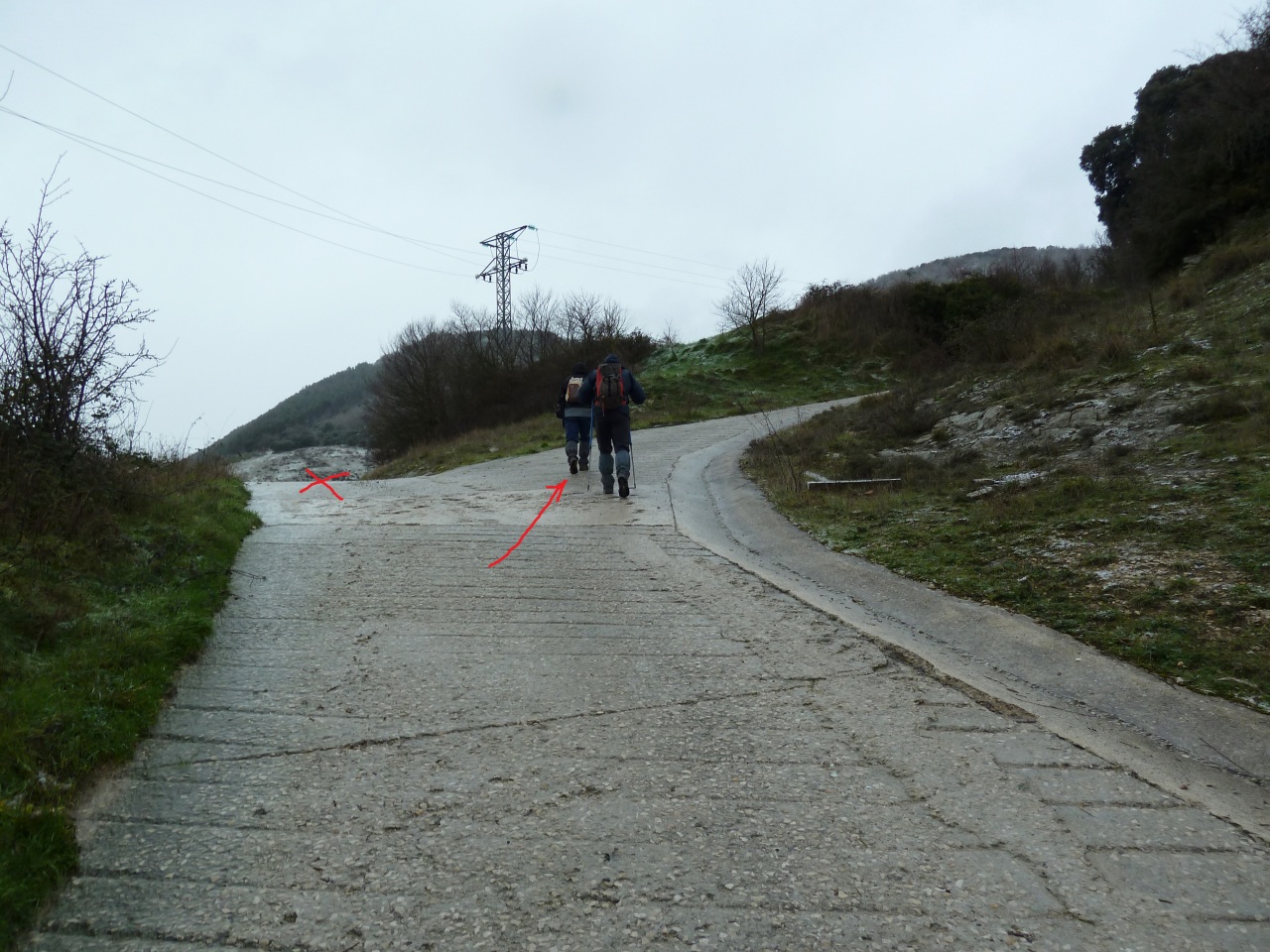
Seguir por la derecha.

Ahora todo recto.
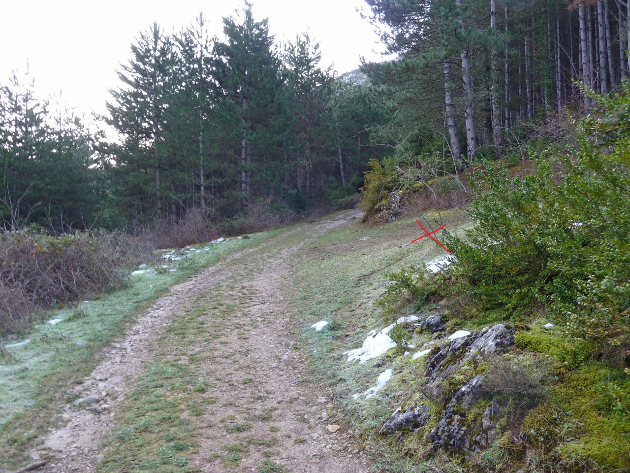
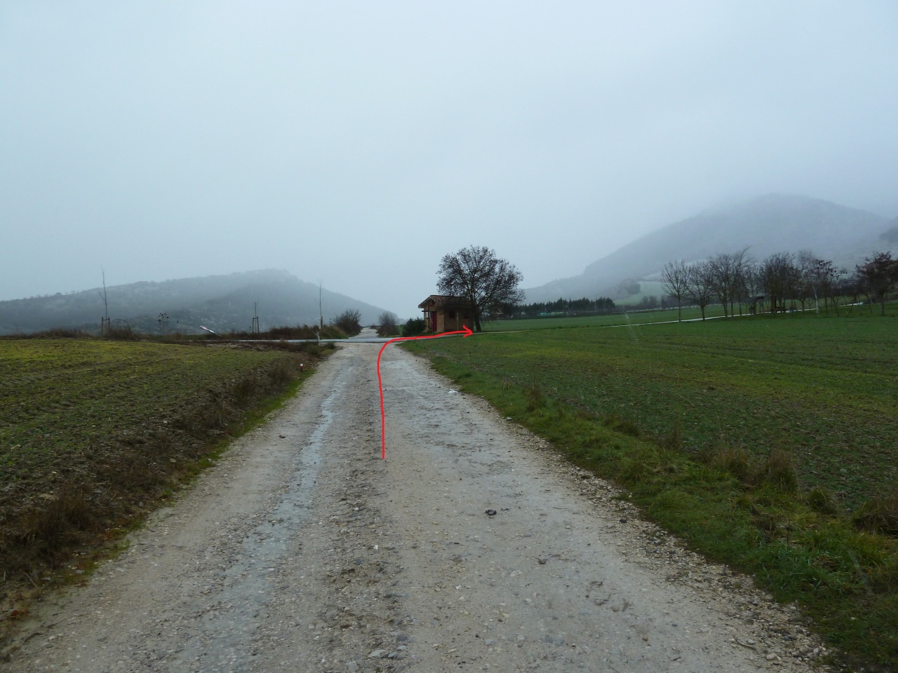
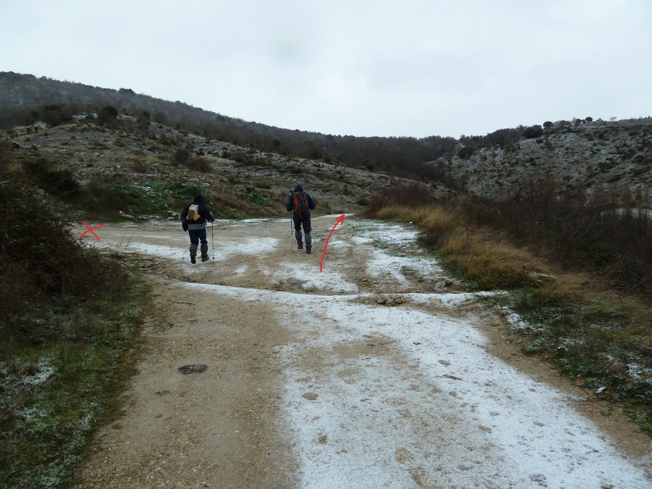
Aquí dejamos la pista para tomar el sendero.

Mirada.

El sendero.

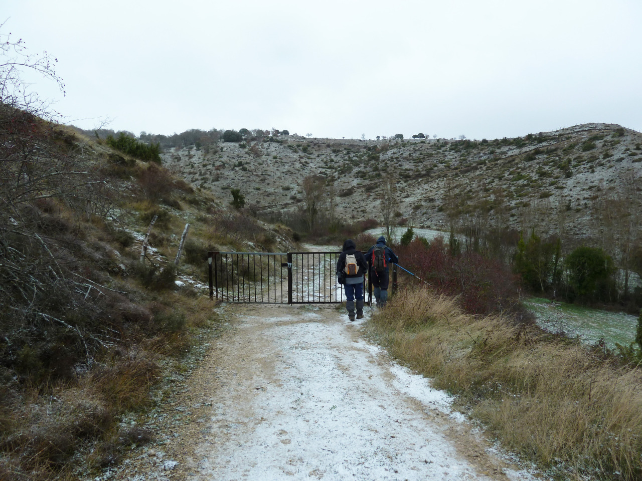
Llegamos donde la balsa de Ibarra.

Esta nos miraba y decía,están como lo que yo soy.

Seguimos por la pista.

Al llegar donde la pista se baja hacia Leire, nos vamos por la izquierda.

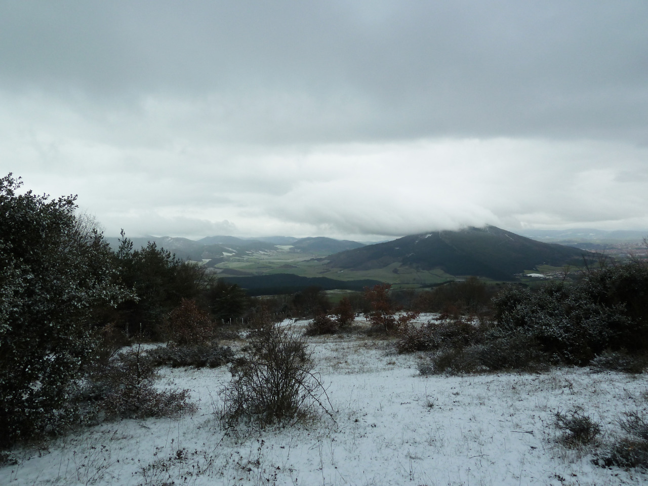
Mirada.

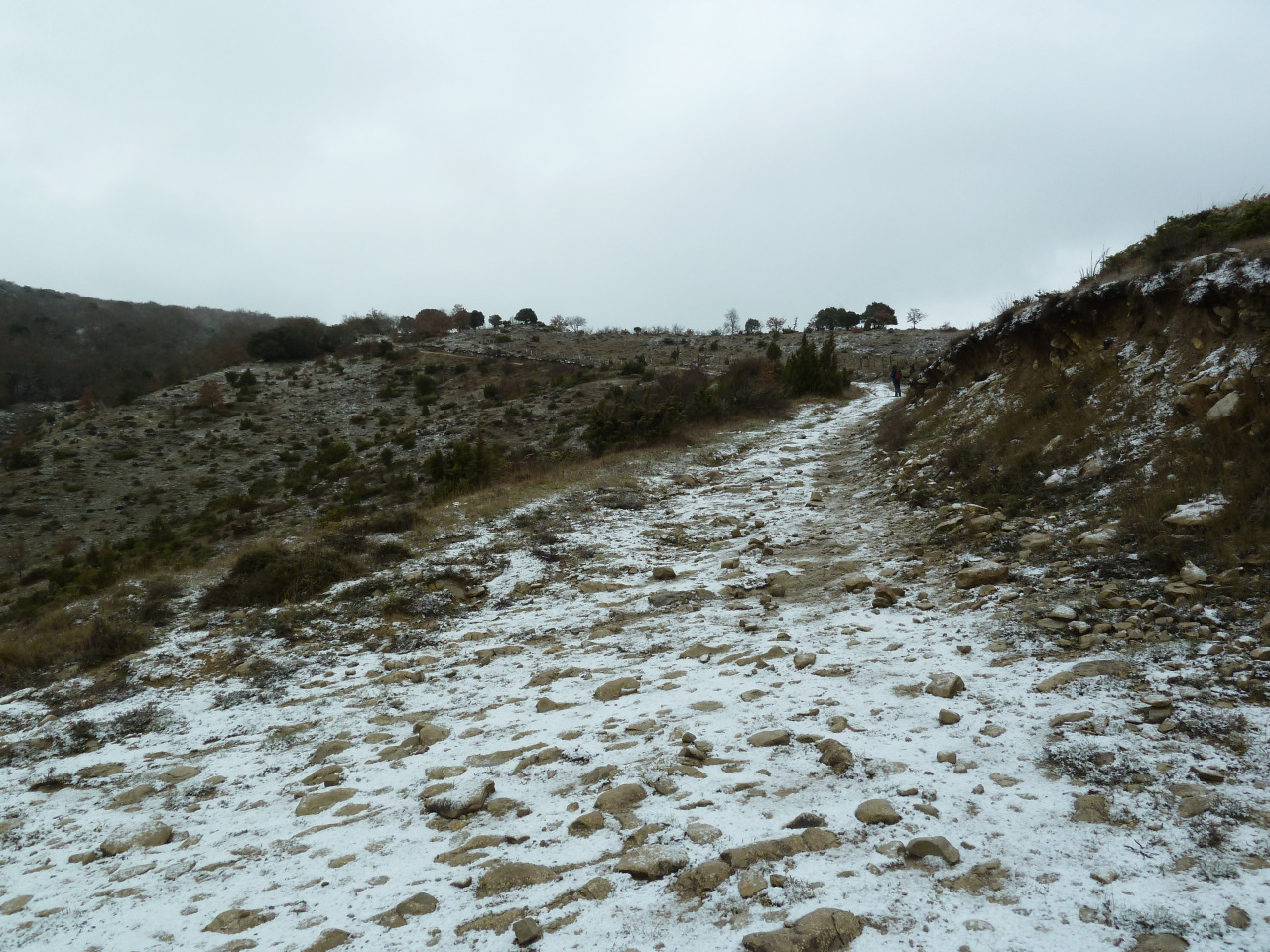
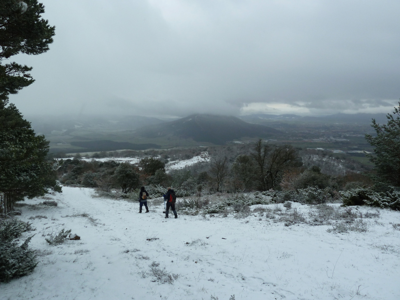
Llegamos al lomo de la sierra.

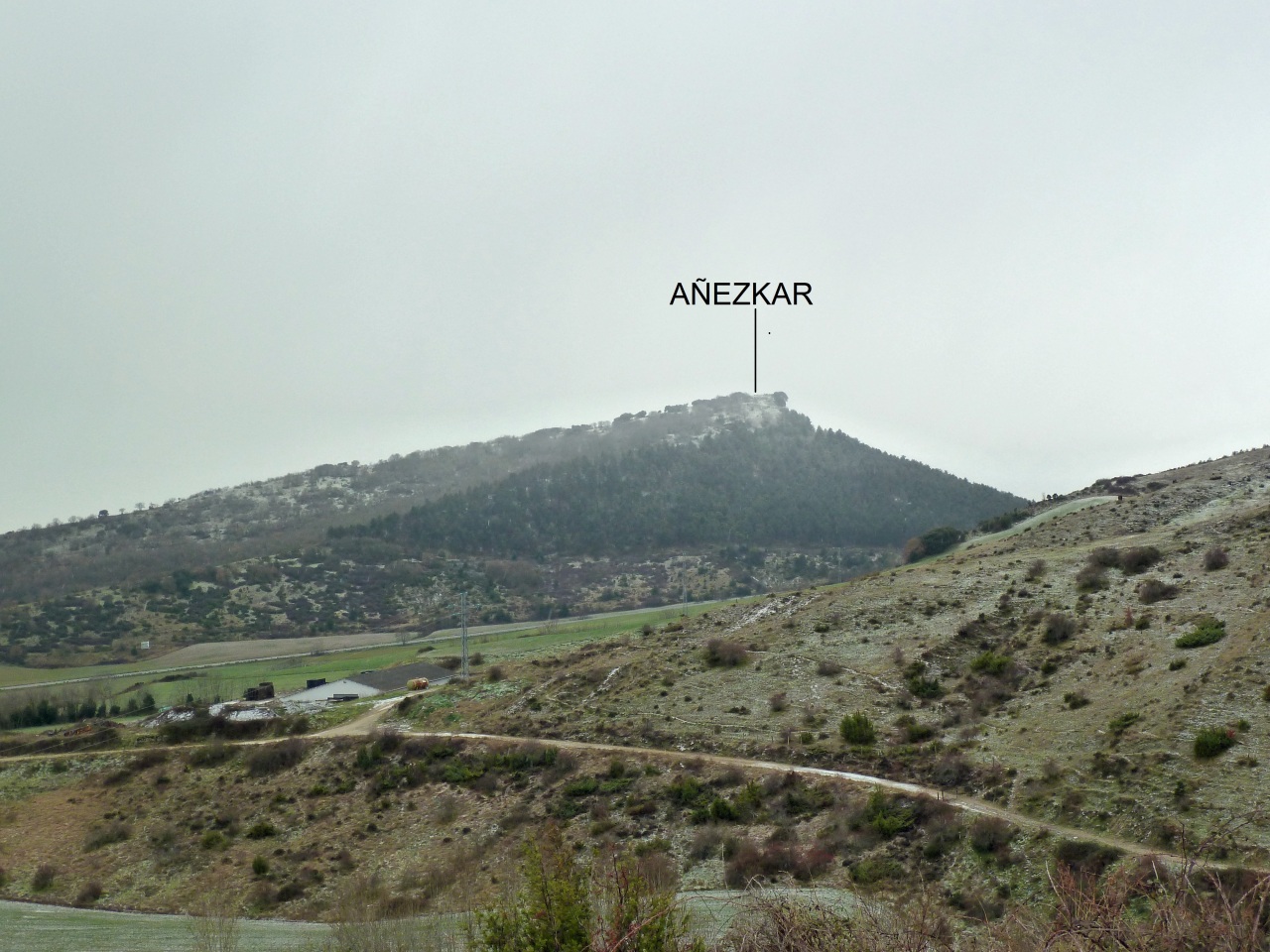
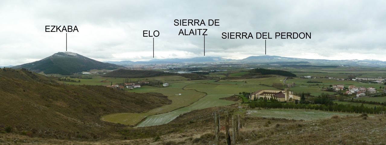
Al fondo se ve la cima.

Vamos por la sierra.
Una mirada atrás.

Seguimos.

Mirada.

Nos vamos acercando.

Otra mirada.

Y otra.

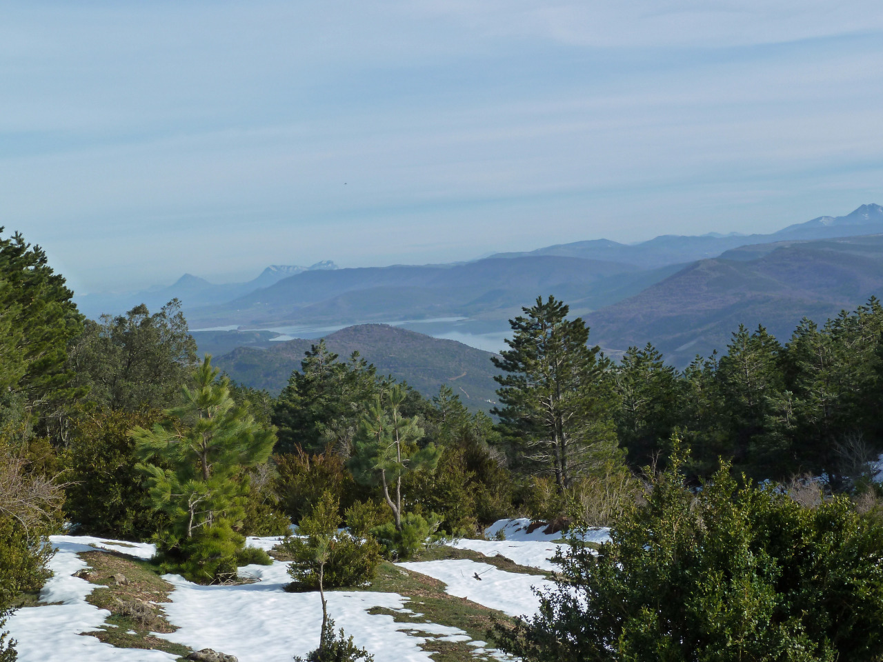
El pantano de Yesa.

Mirada.

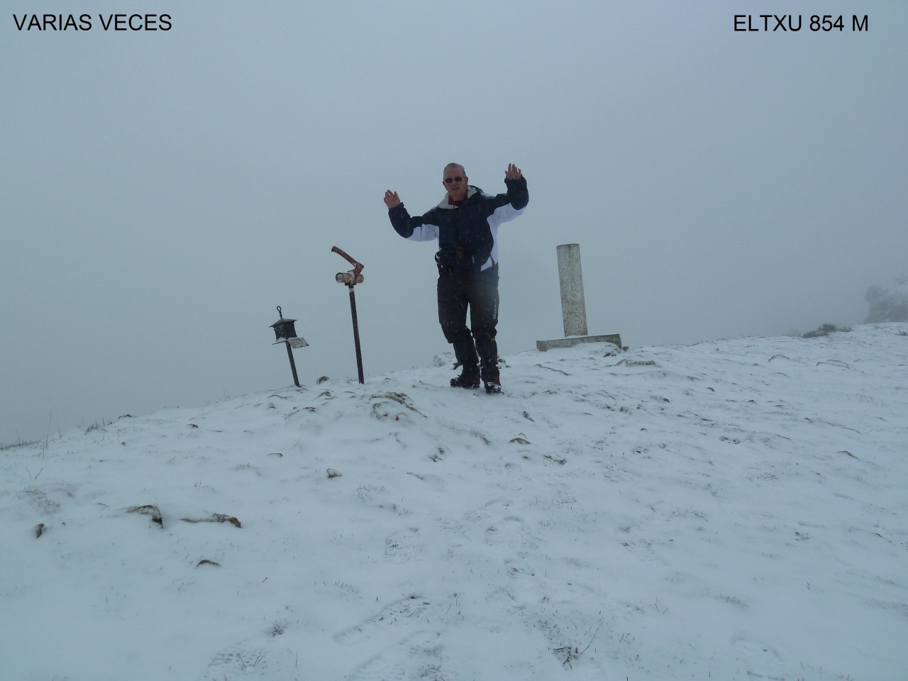
Vértice geodésico.

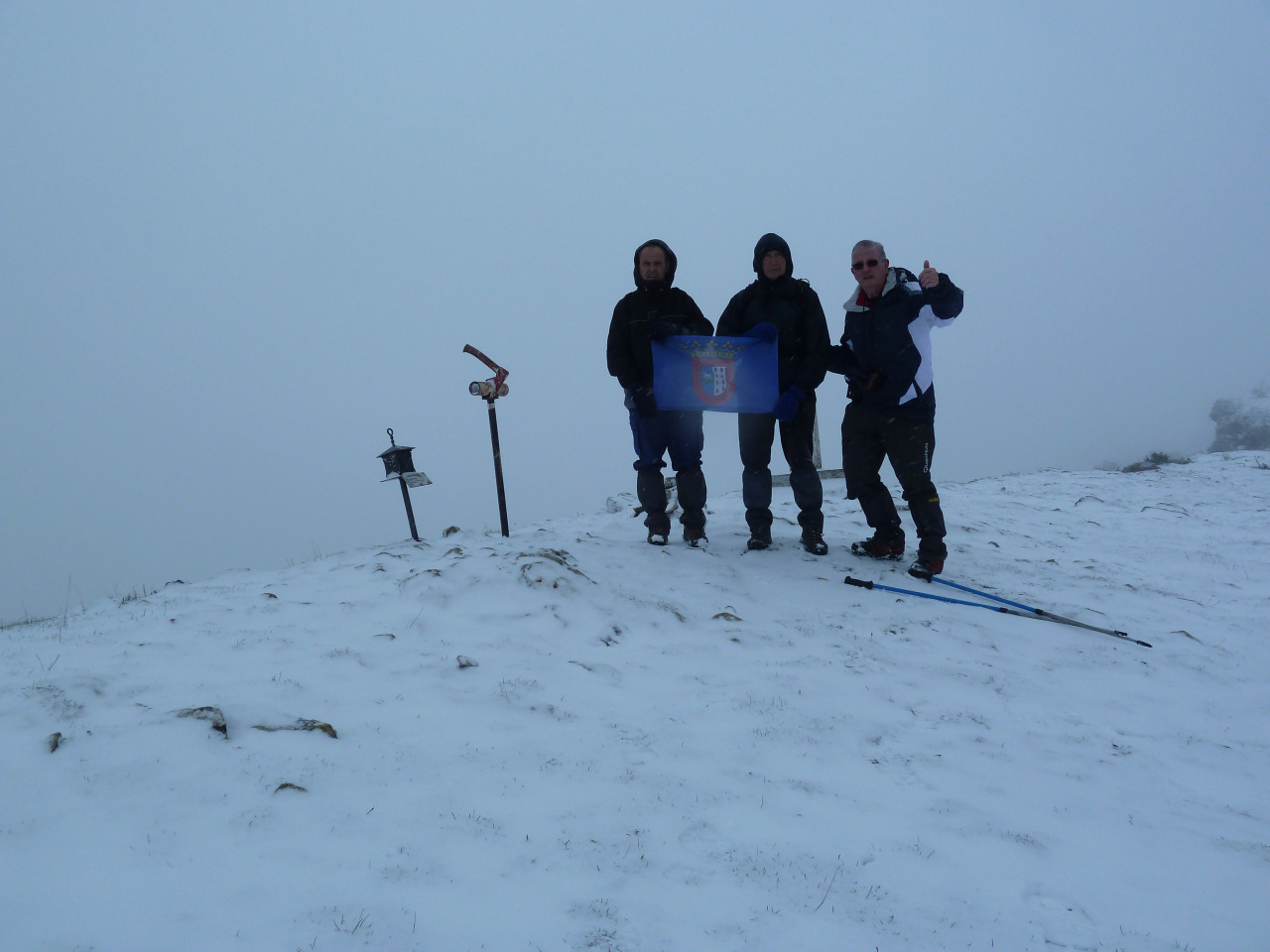
En la cima.


Regresamos.

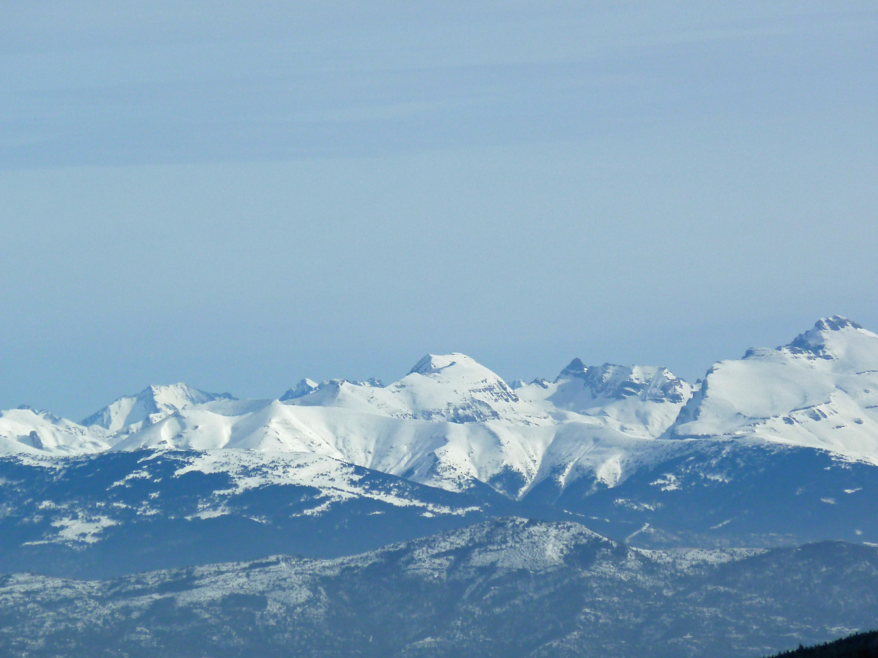
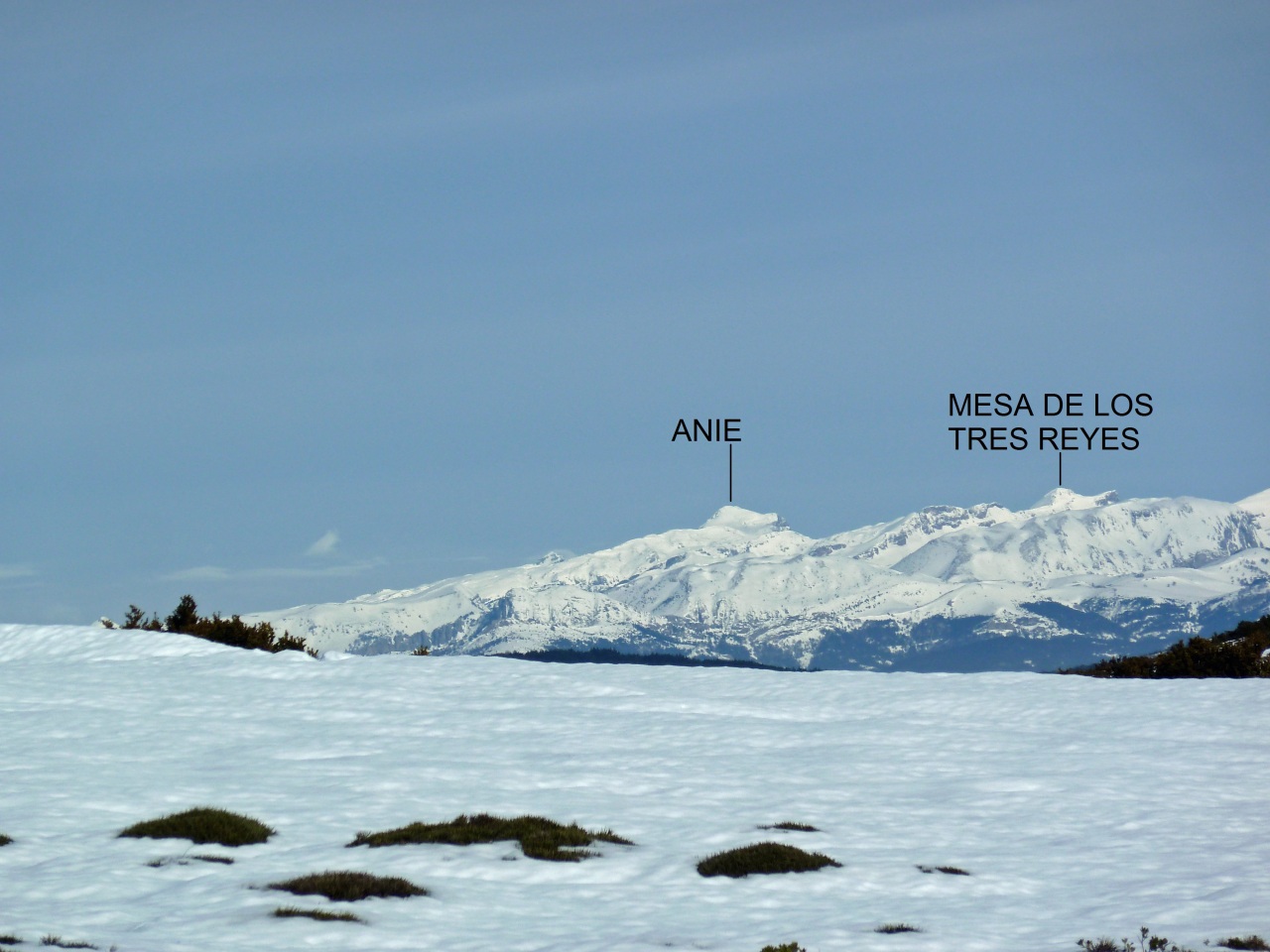
Las brumas no lo dejaban ver bien, el Moncayo.

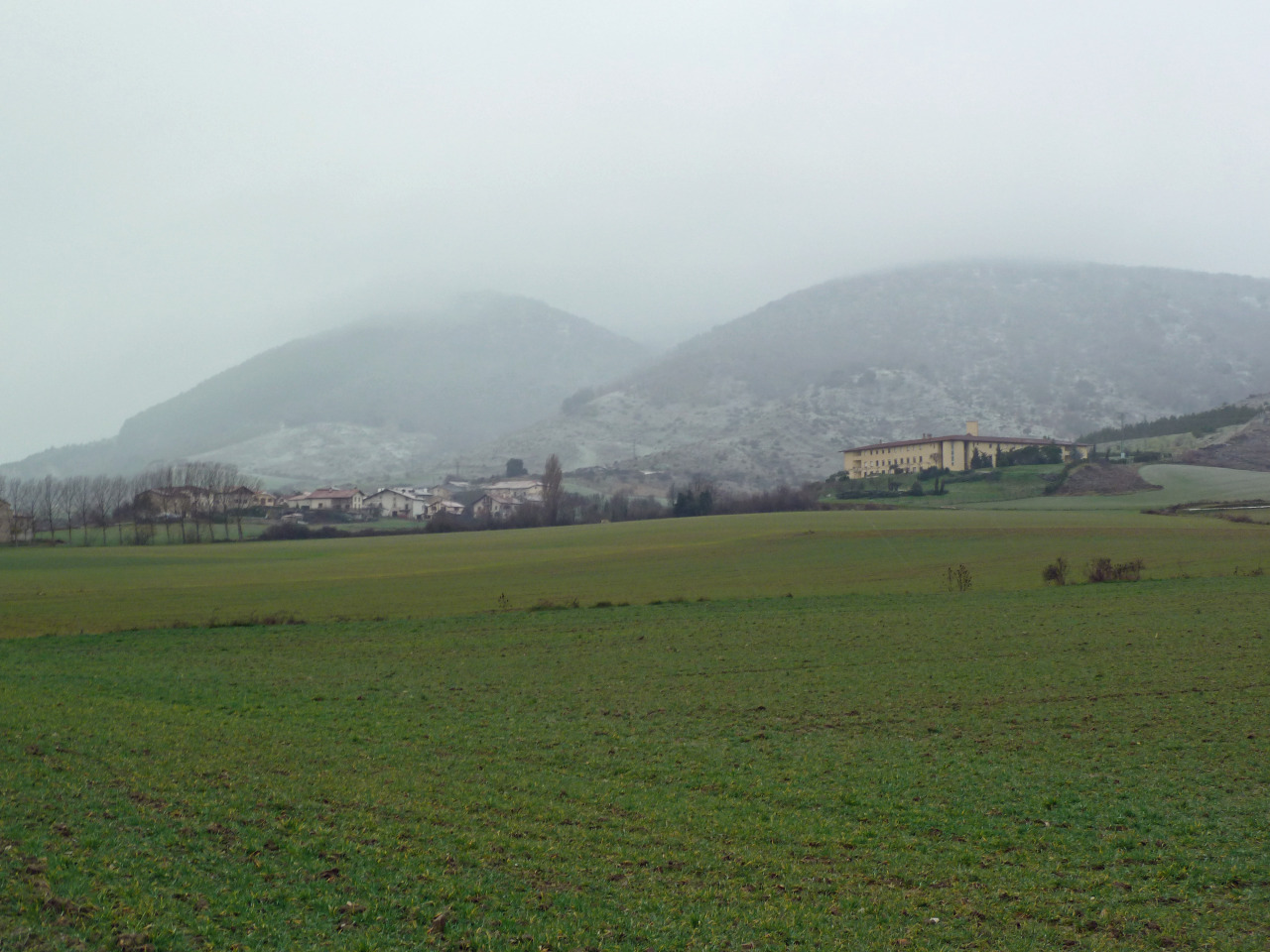
Otras miradas.


Seguimos bajando.

Mirada.

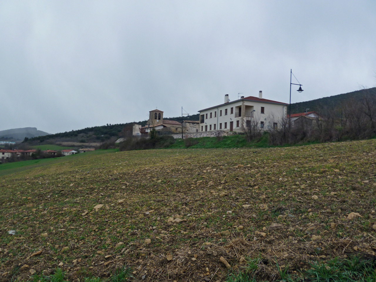
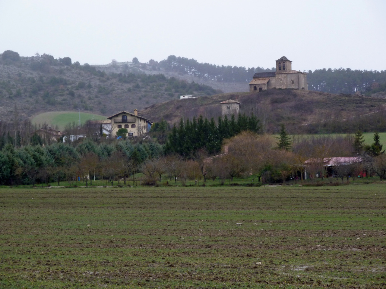
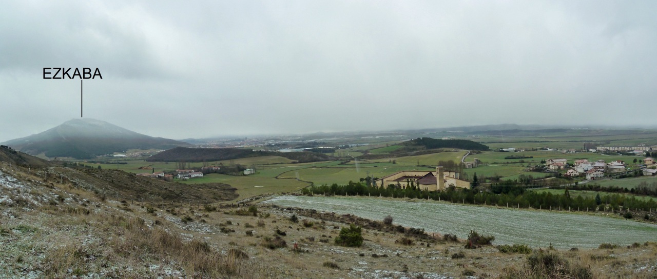
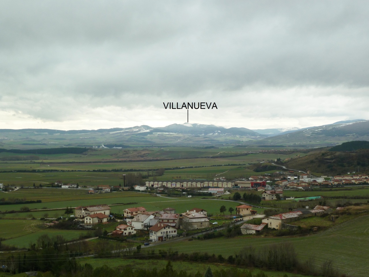
Lumbier y la Peña Itzaga.

Mirada.

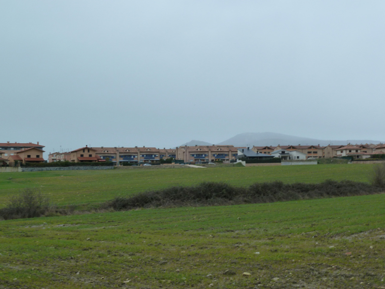
Lumbier.

Una calera en el borde del camino.

Mirada desde el aparcamiento.

El Trak