miércoles, 9 de febrero de 2011

CIRCULAR POR ARALAR.

Martes 08-02-2011
Hola amigos.
Hoy hemos estado por la sierra de Aralar realizando una bonita circular por un par de cimas de las Malloas.
La ruta ha comenzado en el pueblo de Azkarate.

ACCESO Guía Michelín

ITINERARIO
AZKARATE 490 M
COLLADO DE URDILLE 715 M
LARRONDO 650 M
CIMA DE ARTUBI 1263 M
COLLADO ASTUNALDE 1216 M
CIMA DE UAKORRI 1306 M
COLLADO DE ASTUNALDE 1216 M
AZKARATE 490 M
DESNIVEL ACUMULADO 928 M
DISTANCIA 11 Km
TIEMPO CONTANDO PARADAS 6 HORAS.

DESCRIPCIÓN
Aparcamos junto al frontón de pueblo y seguimos por pista las marcas de la GR-121 de la vuelta ha Gipuzkoa.

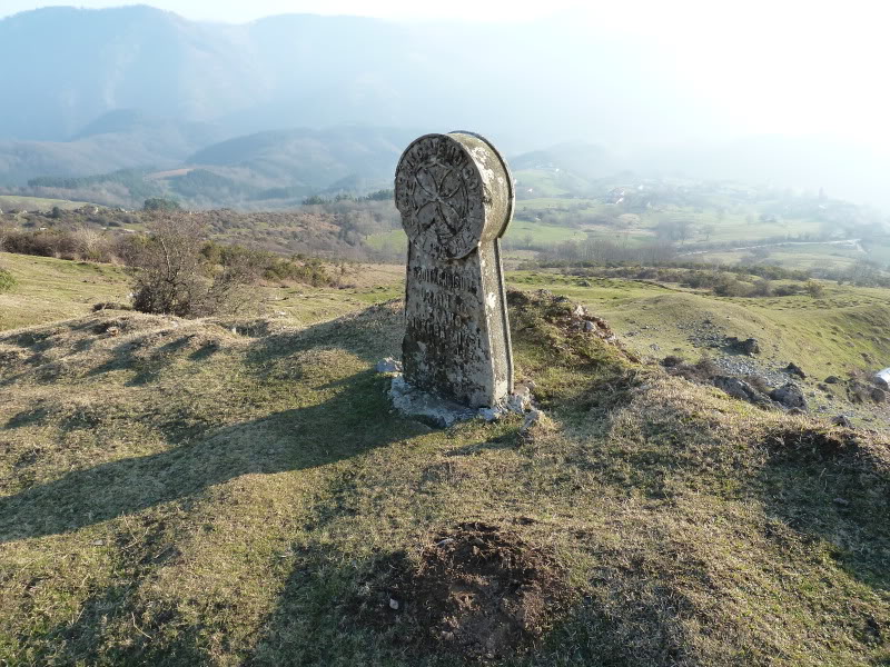
Pasamos cerca del cementerio y luego al lado de unas estelas funerárias.
Llegados al collado de Urdille,tenemos a la derecha la cima de Uarreko-Haitza.

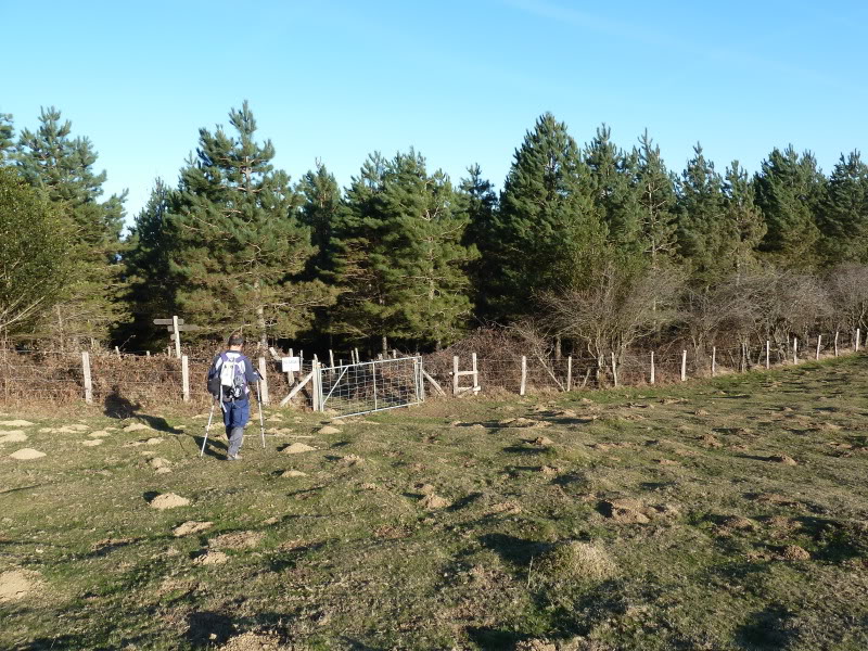
Cruzamos la puerta en la alambrada y ahora el sendero llanea un buen tramo.
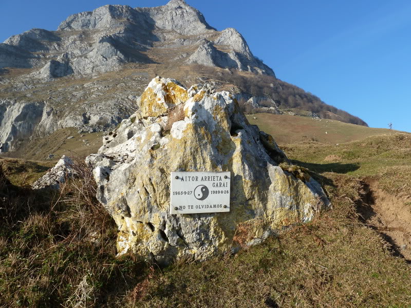
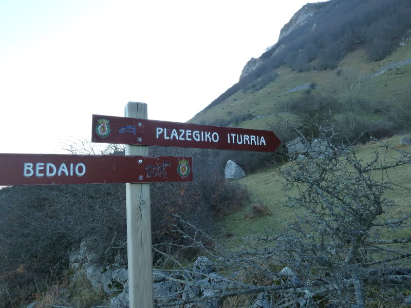
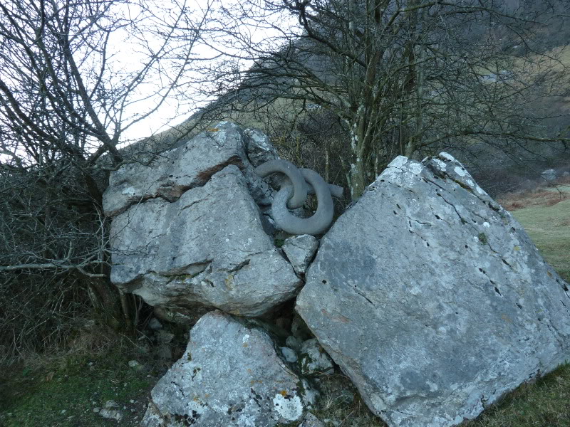
Llegamos a Plazegiko donde hay un monolito en recuerdo de alguien.

Continuamos hasta Larrondo y aquí dejamos la GR para por la izquierda y sin sendero subir los 600 m de desnivel hasta la cima de Artubi que la pasamos sin parar para bajar al collado de Astunalde y acceder en fuerte ascenso a la cima de Uakorri,

Llegados a la cima, hemos estado un buen rato disfrutando del día tan hermoso que hacía.
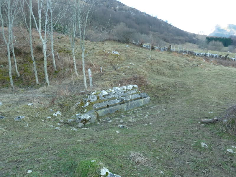
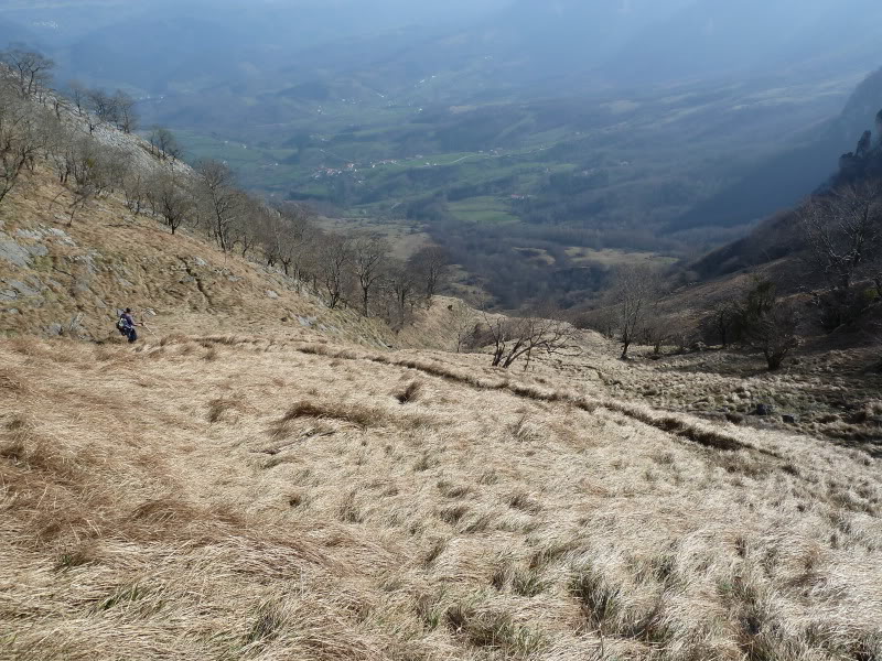
Retornados al collado de Astunalde, hemos bajado por el barranco siguiendo la senda que da tropecientos giros ,en el camino hay una fuente y los restos de una avalancha.

Cuando estamos casi abajo del barranco,hemos tomado un sendero a la izquierda que con barro hasta las orejas nos ha sacado a Azkarate.

PD. De regreso a casa una parada en Arriba para tomar una caña y contentos de haber disfrutado de un hermoso día de montaña.

SI NO SE VEN LAS FOTOS,PINCHAR AQUÍ

Croquis.
En rojo la subida y en negro el retorno.
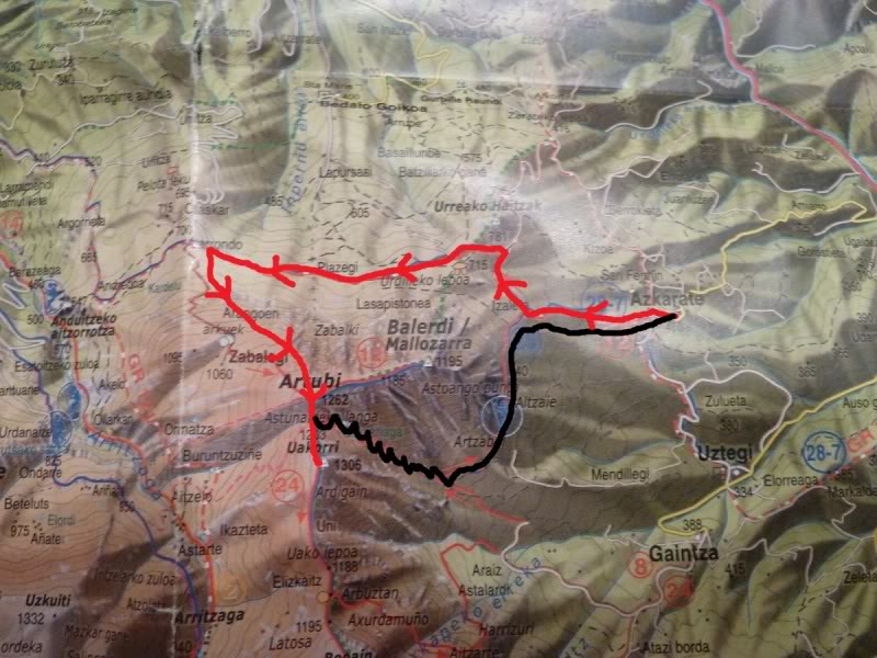
Photo Sharing and Video Hosting at Photobucket

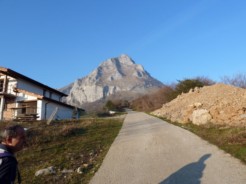
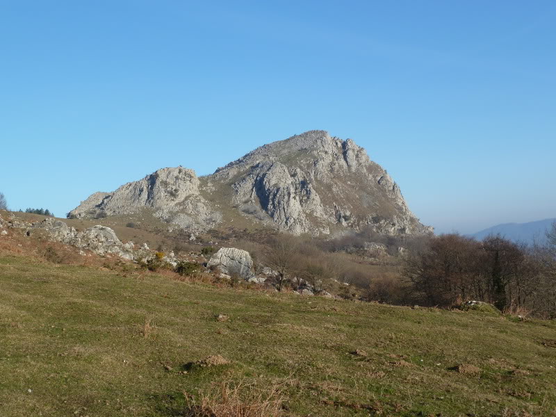
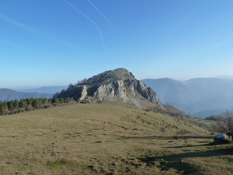
Desde el aparcamiento por la izquierda con la mole rocosa de Balerdi enfrente.
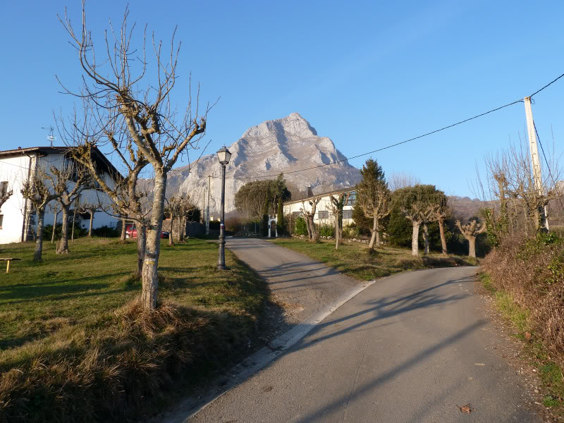
Photo Sharing and Video Hosting at Photobucket

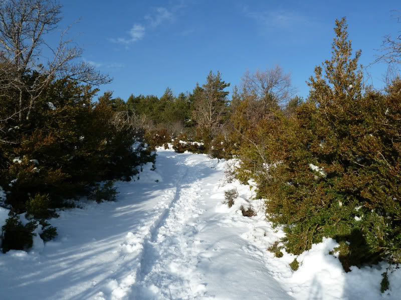
Al principio es pista.
Photo Sharing and Video Hosting at Photobucket

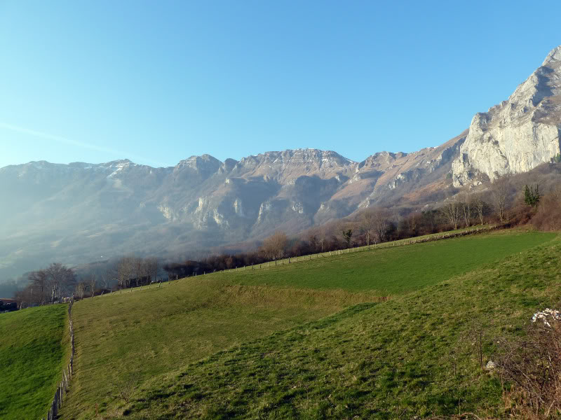
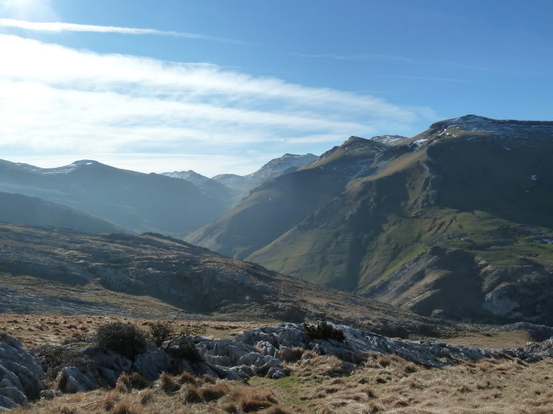
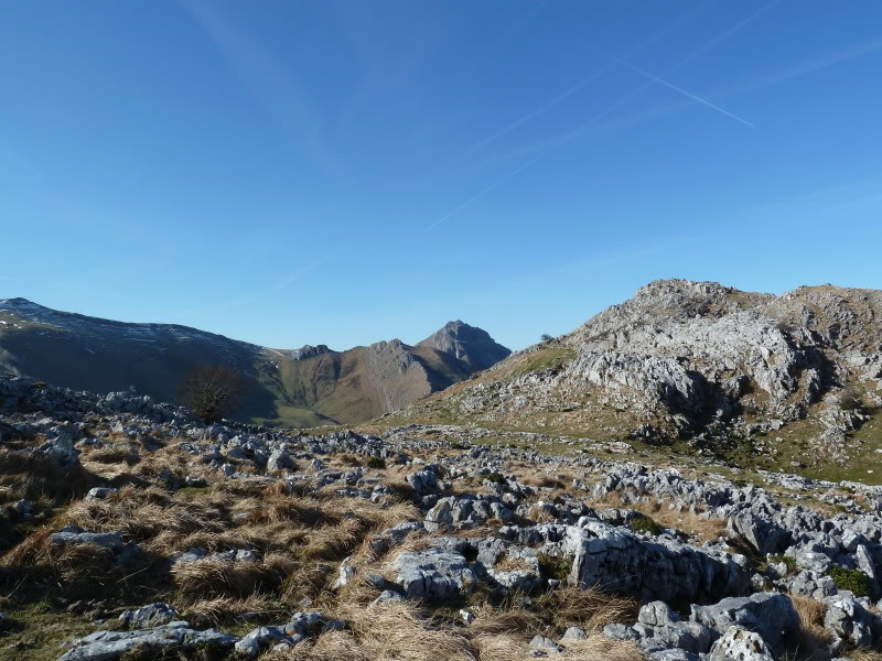
Mirada a las Malloas.
Photo Sharing and Video Hosting at Photobucket

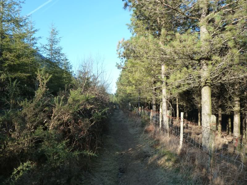
Seguimos las marcas de la GR.
Photo Sharing and Video Hosting at Photobucket

Photo Sharing and Video Hosting at Photobucket

Llegamos donde la estela funeraria.
Photo Sharing and Video Hosting at Photobucket

En recuerdo de ....
Photo Sharing and Video Hosting at Photobucket

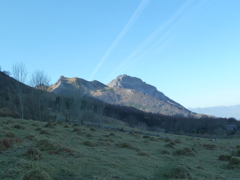
El monte Aurreako Haitza.
Photo Sharing and Video Hosting at Photobucket

Vamos hacia el collado Urdille.
Photo Sharing and Video Hosting at Photobucket

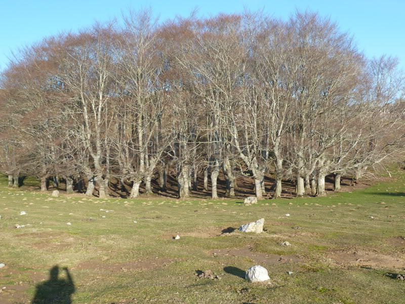
Conjunto de hayas trasmotxas.
Photo Sharing and Video Hosting at Photobucket

llegando al collado Urdille.
Photo Sharing and Video Hosting at Photobucket

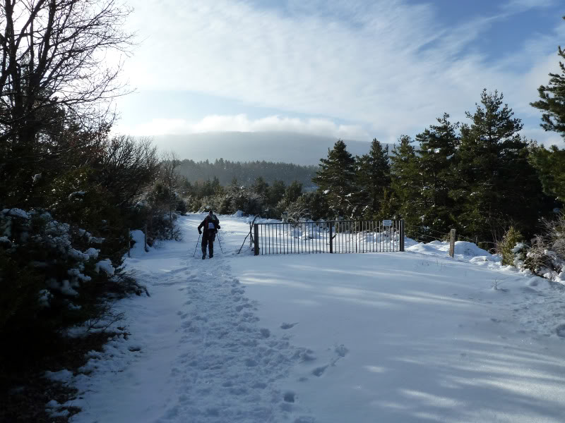
Cruzamos la puerta.
Photo Sharing and Video Hosting at Photobucket


El sendero llanea.
Photo Sharing and Video Hosting at Photobucket

Llegamos donde este cartel.
Photo Sharing and Video Hosting at Photobucket

Hay este monolito.
Photo Sharing and Video Hosting at Photobucket

Una mirada atrás.
Photo Sharing and Video Hosting at Photobucket

Primera visión del Txindoki.
Photo Sharing and Video Hosting at Photobucket

Una fuente en el sendero.
Photo Sharing and Video Hosting at Photobucket

En Larrondo nos encontramos con la rubia.
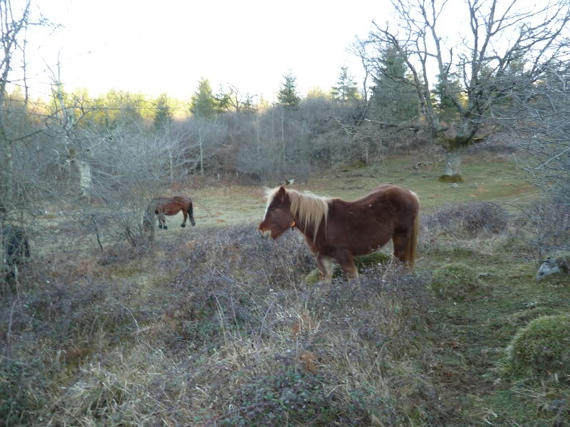
Photo Sharing and Video Hosting at Photobucket

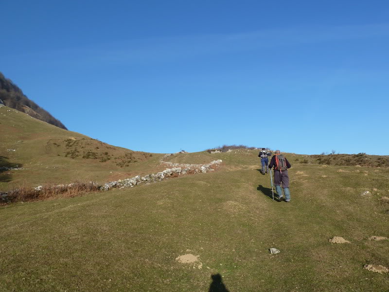
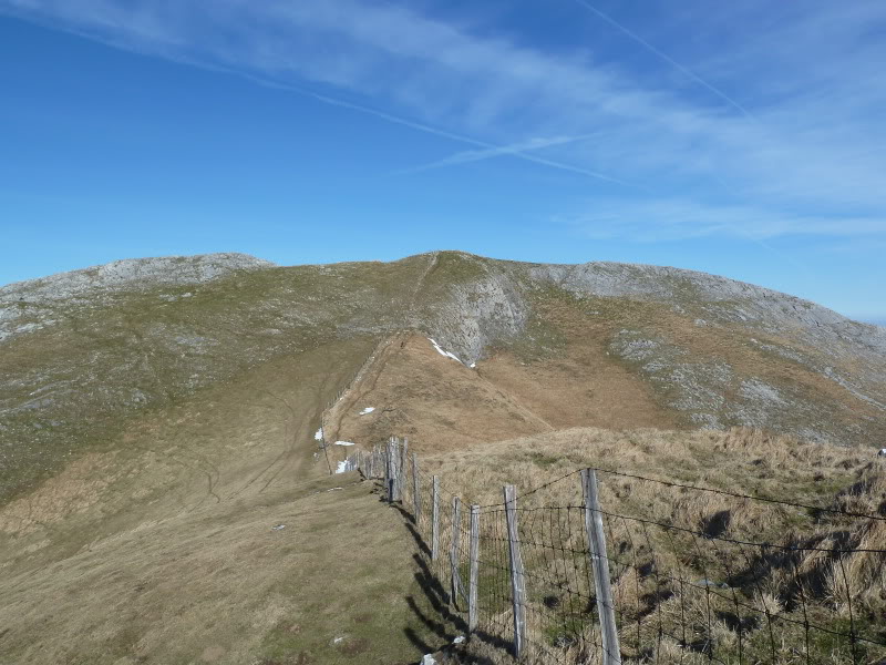
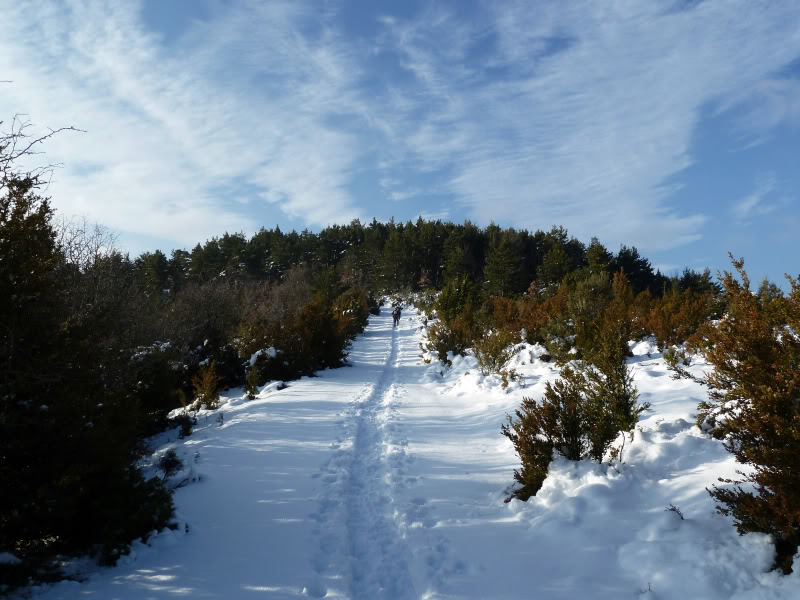
Ahora sin camino,enfilamos los 600 m de desnivel hasta la cima de Artubi.
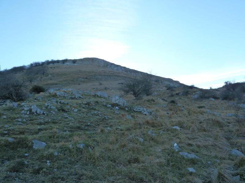
Photo Sharing and Video Hosting at Photobucket

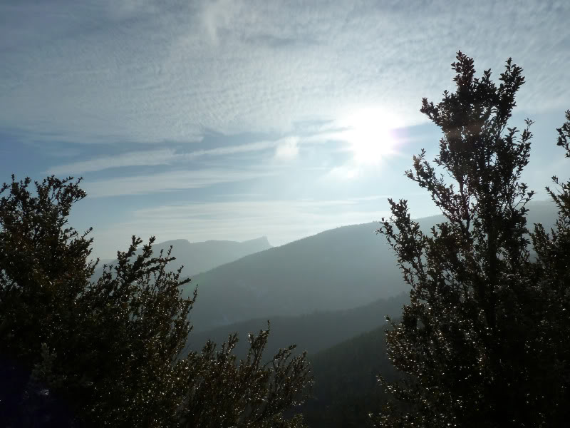
Miradas.
Photo Sharing and Video Hosting at Photobucket


Photo Sharing and Video Hosting at Photobucket

Desde la cima de Artubi bajamos al collado de Astunalde.
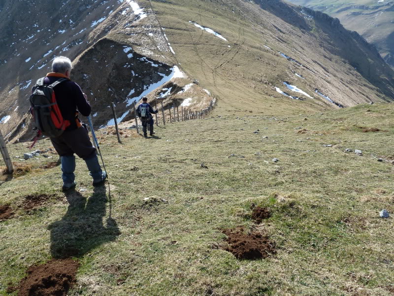
Photo Sharing and Video Hosting at Photobucket

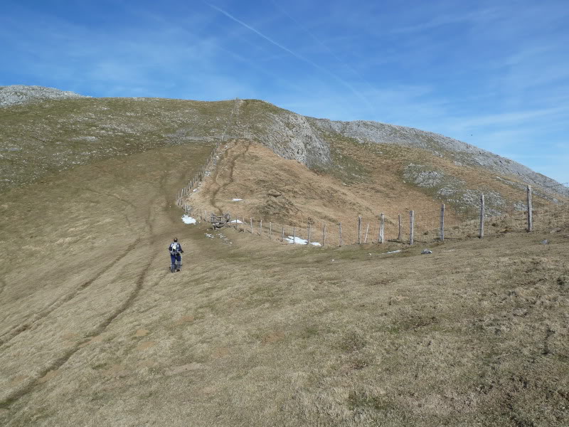
Encaramos la subida a Uakorri.
Photo Sharing and Video Hosting at Photobucket

Sube un montañero,nos ha dicho que marchaba a Balerdi.
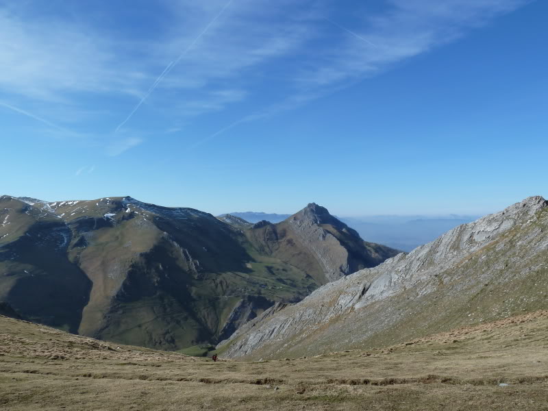
Photo Sharing and Video Hosting at Photobucket

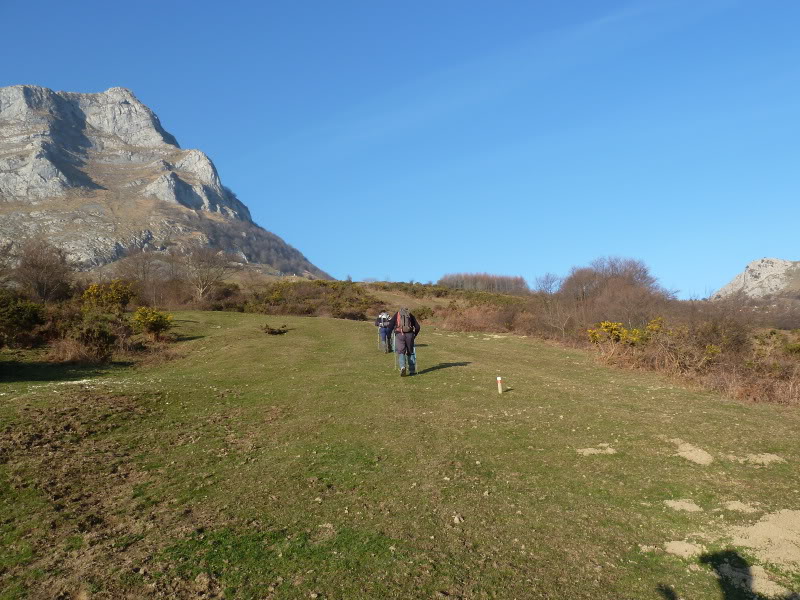
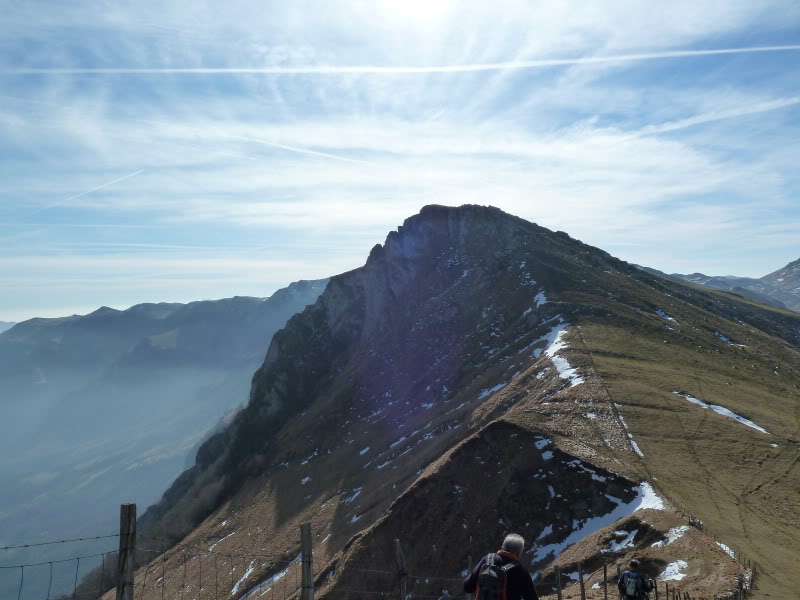
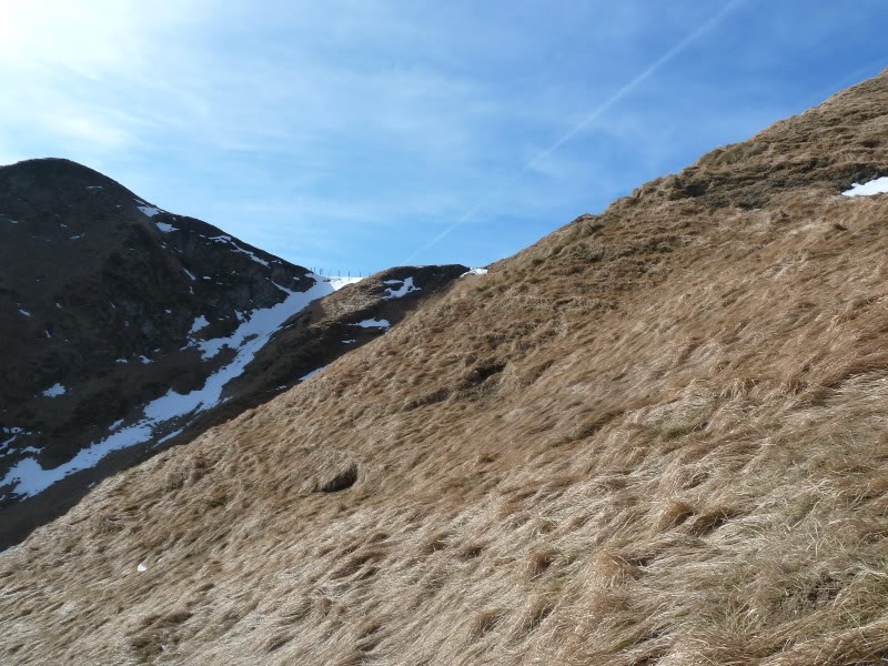
Subiendo a Uakorri,mirada atrás.
Photo Sharing and Video Hosting at Photobucket

Otra vez Txindoki.
Photo Sharing and Video Hosting at Photobucket

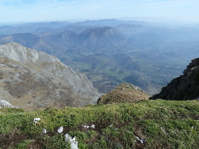
Abajo el valle de Araiz.
Photo Sharing and Video Hosting at Photobucket

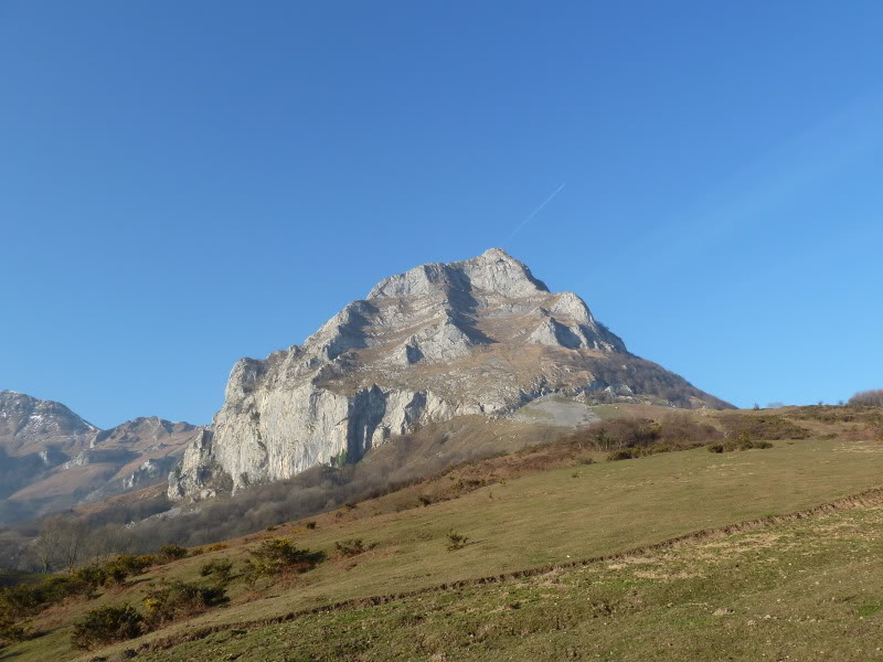
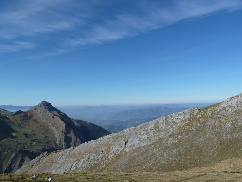
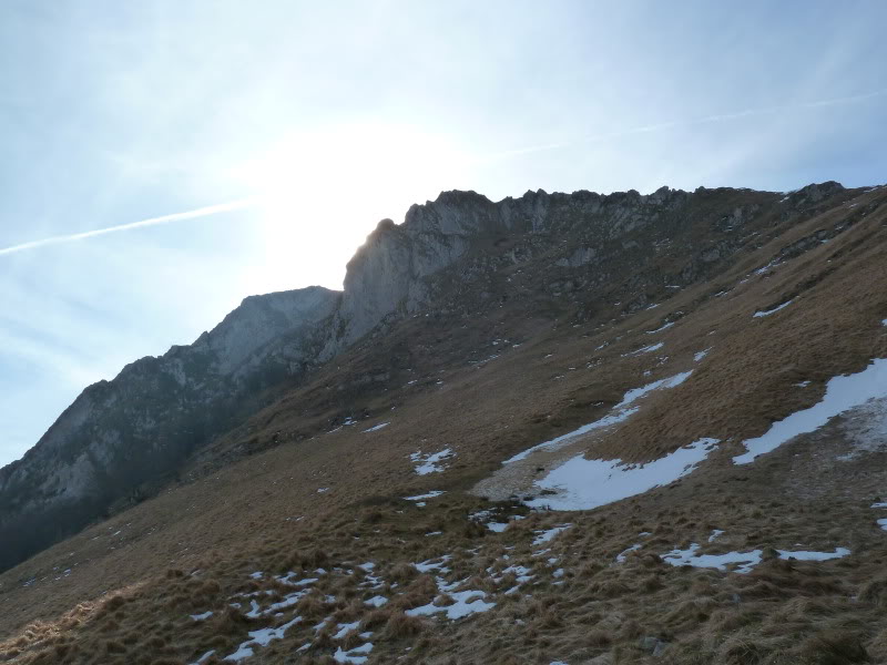
Enfrente Balerdi.
Photo Sharing and Video Hosting at Photobucket

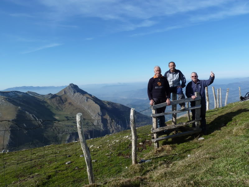
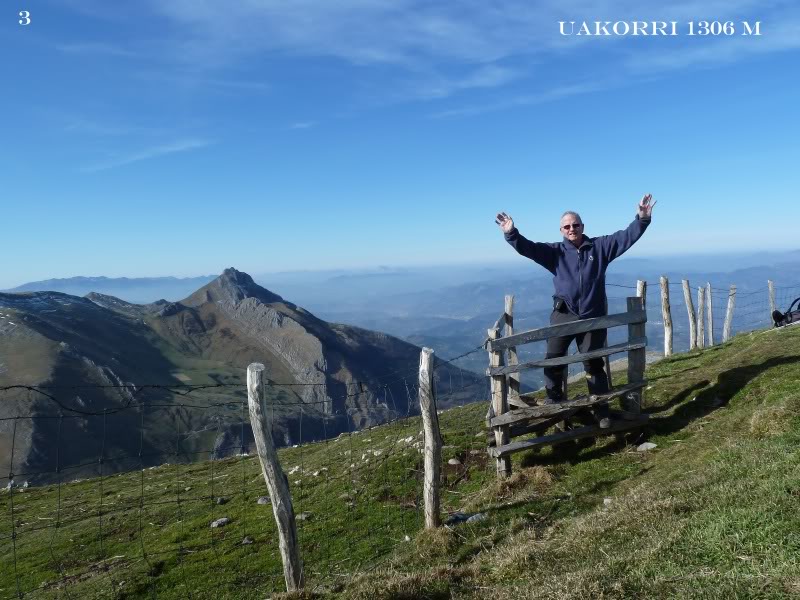
El trio en la cima.
Photo Sharing and Video Hosting at Photobucket

Photo Sharing and Video Hosting at Photobucket

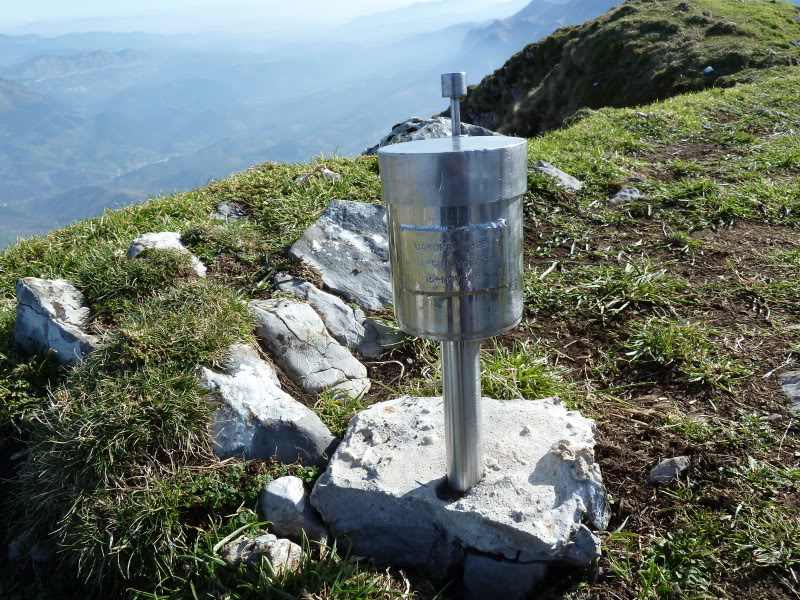
El buzón de Uakorri.
Photo Sharing and Video Hosting at Photobucket

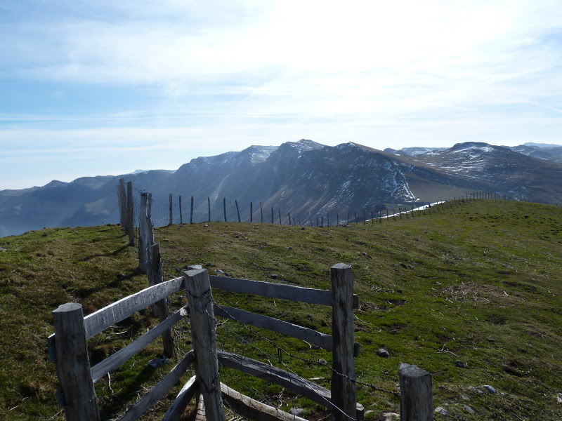
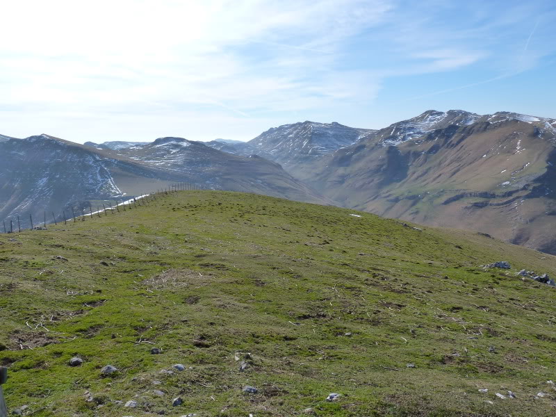
Miradas.
Photo Sharing and Video Hosting at Photobucket

Photo Sharing and Video Hosting at Photobucket

Regresamos al collado de Astunalde.
Photo Sharing and Video Hosting at Photobucket

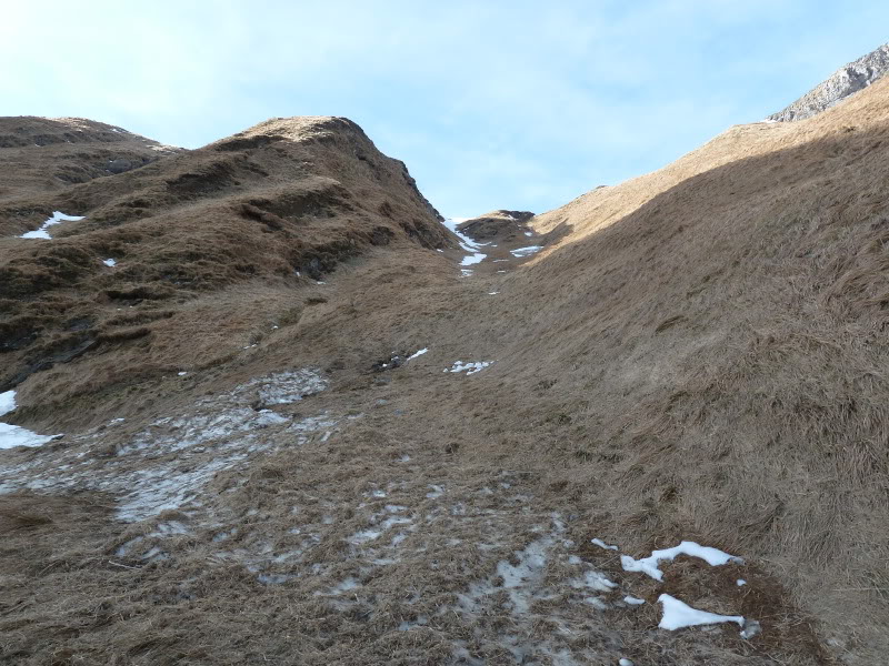
Bajando el barranco vista atrás.
Photo Sharing and Video Hosting at Photobucket

El de atrás es Uakorri.
Photo Sharing and Video Hosting at Photobucket

Restos de una avalancha.
Photo Sharing and Video Hosting at Photobucket

Bajando hacia el valle.
Photo Sharing and Video Hosting at Photobucket

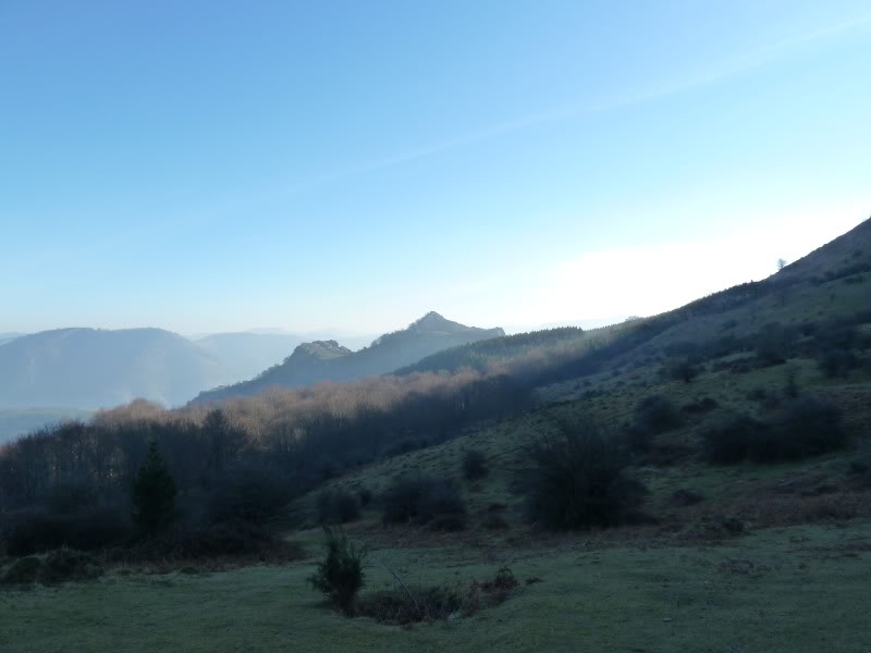
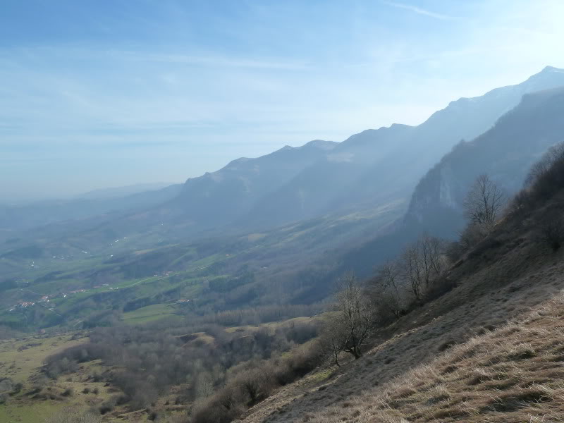
Hacia el este había muchas brumas.
Photo Sharing and Video Hosting at Photobucket

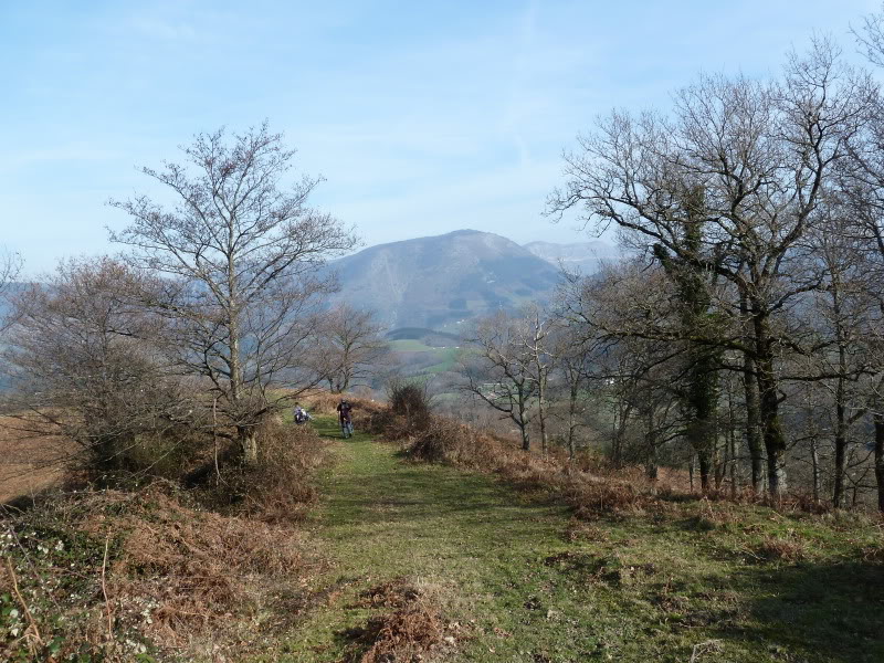
Marchando hacia Azkarate.
Photo Sharing and Video Hosting at Photobucket

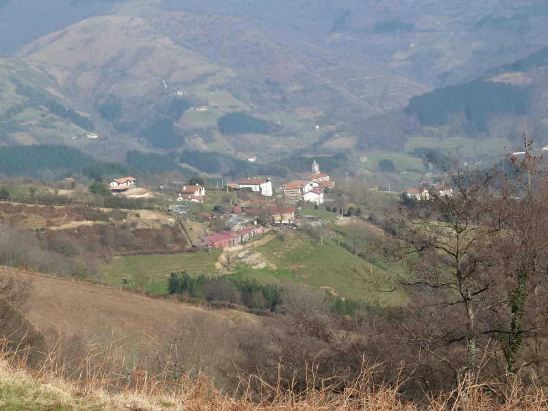
Aquí el coqueto pueblo de Azkarate.
Photo Sharing and Video Hosting at Photobucket

miércoles, 2 de febrero de 2011

BORREGUIL 1423 M

Martes 01-02-2011
Hola amigos.
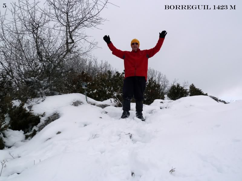
Hoy nos adentramos por tierras prepirinaicas ascendiendo a la cima de Borreguil. Esta montaña es muga entre Navarra y Aragón y está enclavada en la sierra de Illón. La hemos ascendido desde el Pto de las Coronas.

ACCESO
Desde Pamplona por Lumbier y Navascues.

ITINERARIO
PTO LAS CORONAS 951 M
RASOS DE OLLATE 1130 M
BORREGUIL 1423 M
DESNIVEL 472 M
DISTANCIA I-V 14 KM
TIEMPO I-V 5 HORAS

DESCRIPCIÓN
Desde el aparcamiento en el Pto de las Coronas, tomamos a mano derecha una pista en ascenso que es la GR-13 cañada de los Roncaleses.

Cuando llegamos a una bifurcación de pistas, tomamos la de la derecha que tiene un cartel muy precario en el suelo que indica a Borreguil.
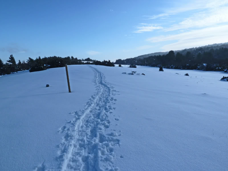
Seguimos en ascenso y llegamos a los rasos de Ollate donde hay unos pequeños postes que indican la ruta a seguir.

Hay una chabola a mano izquierda ,seguimos la pista hasta el portillo de Ollate donde la cañada baja a la Tejería en la carretera que marcha desde Bigüezal a Castillo Nuevo.

Antes del portillo a mano izquierda hay dos hitos que indicaqn el sendero a la cima primero entre pinos y luego por hayedo
Salimos arriba a un raso y enseguida a mano izquierda entre los bojes subimos a la cima.

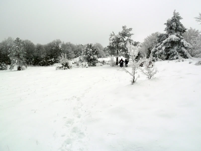
Al inicio de la marcha parecía que prometía el día pero no ha sido así se nos ha nublado y no hemos visto nada desde la cima.
No hemos parado en la cima más que para almorzar y enseguida hemos regresado pues hacía mucho frío.

De regreso a casa paradita en Lumbier para tomar un café bien caliente.
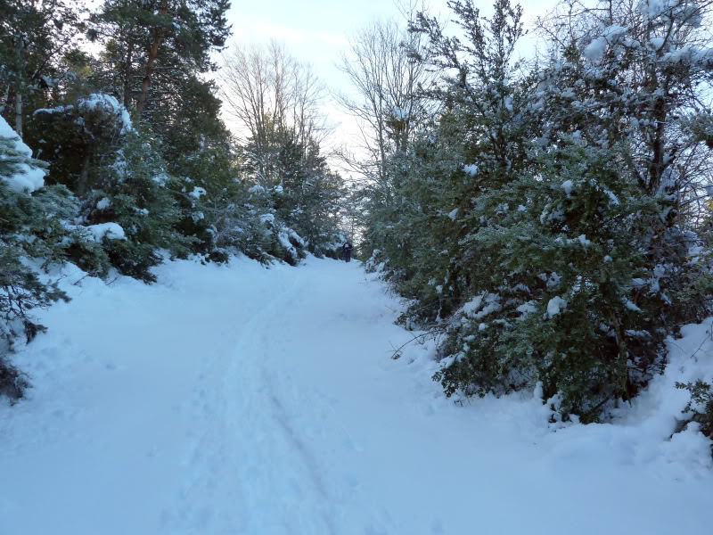
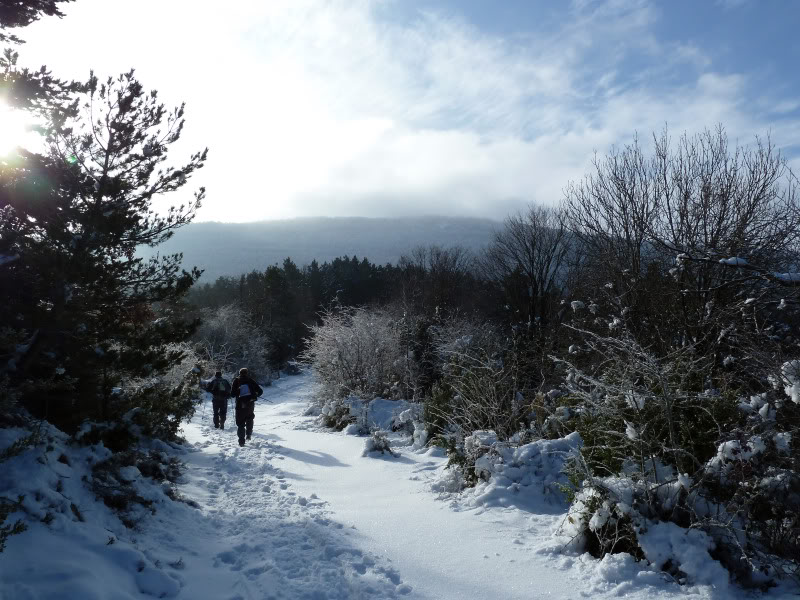
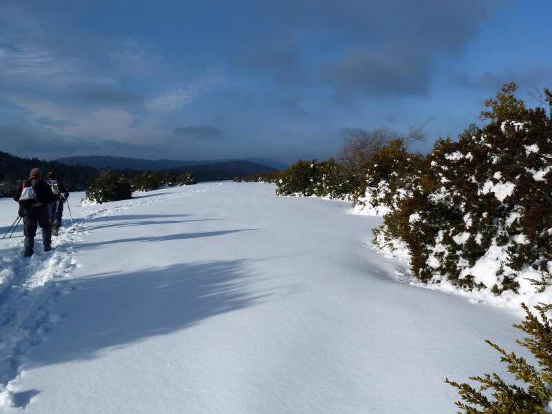
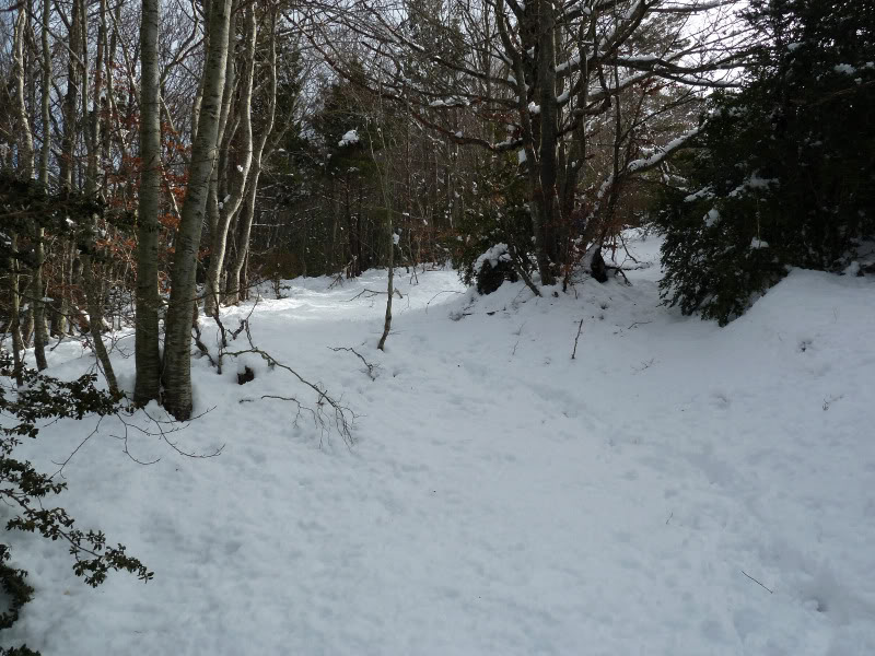
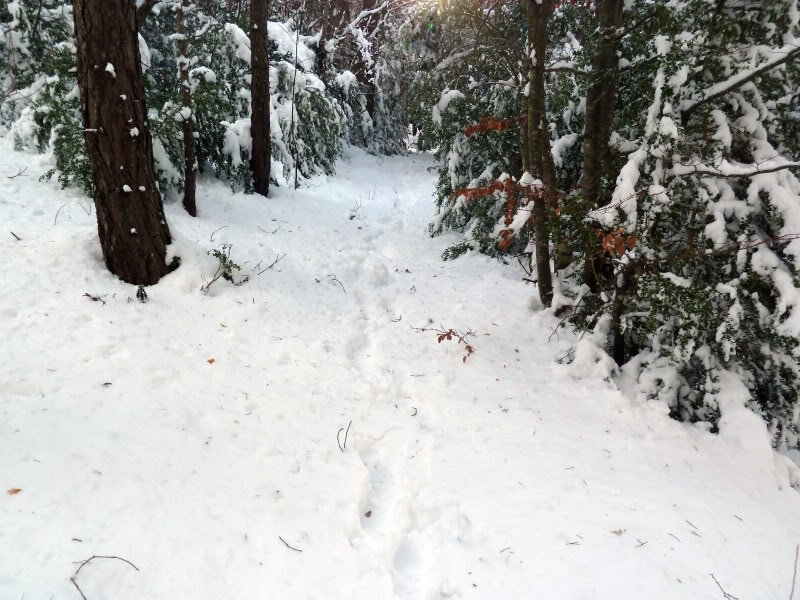
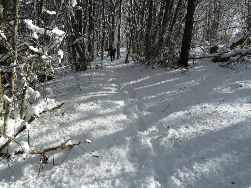
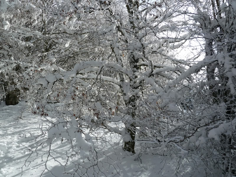
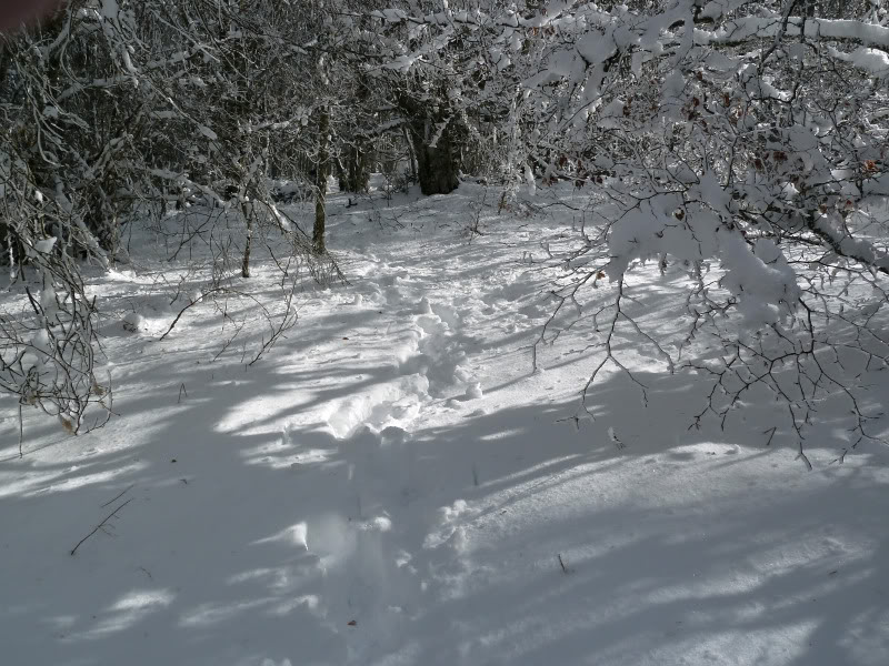
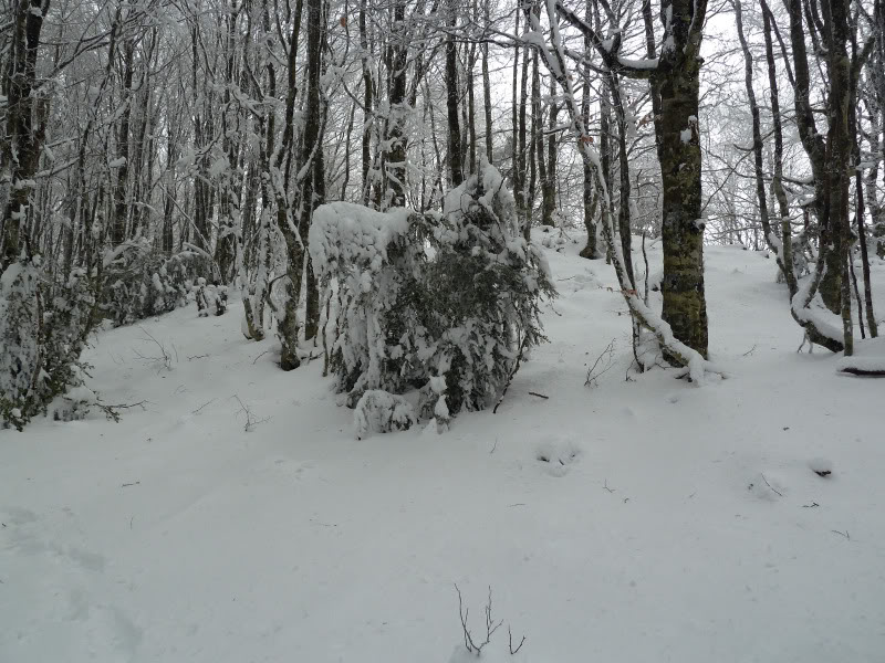
PD.Desde el comienzo de la marcha,hemos tenido nieve con un expesor de unos 20 cm.

SI NO SE VEN LAS FOTOS,PINCHAR AQUÍ

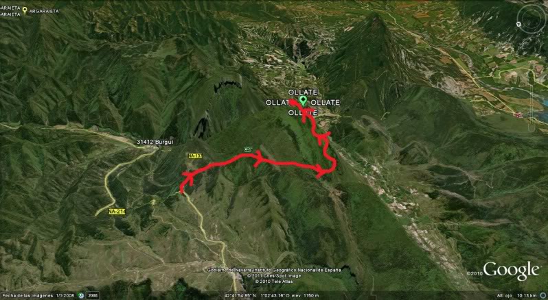
Croquis de la marcha.
Photo Sharing and Video Hosting at Photobucket

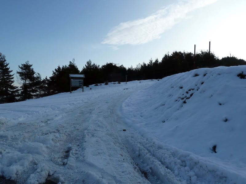
Inicio de la marcha.
Photo Sharing and Video Hosting at Photobucket

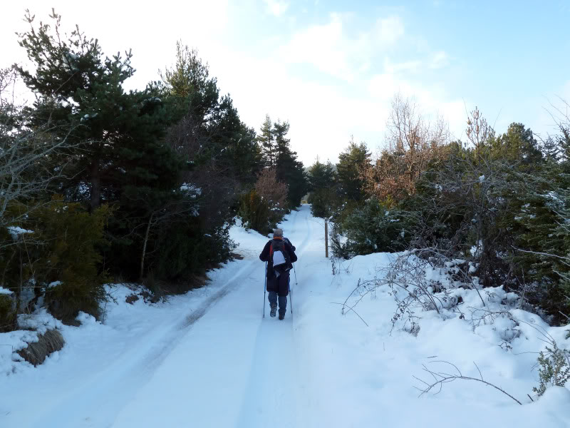
El sendero.
Photo Sharing and Video Hosting at Photobucket

Photo Sharing and Video Hosting at Photobucket

El día prometía.
Photo Sharing and Video Hosting at Photobucket

Photo Sharing and Video Hosting at Photobucket

Mirada.
Photo Sharing and Video Hosting at Photobucket

Pasamos este paso canadiense.
Photo Sharing and Video Hosting at Photobucket

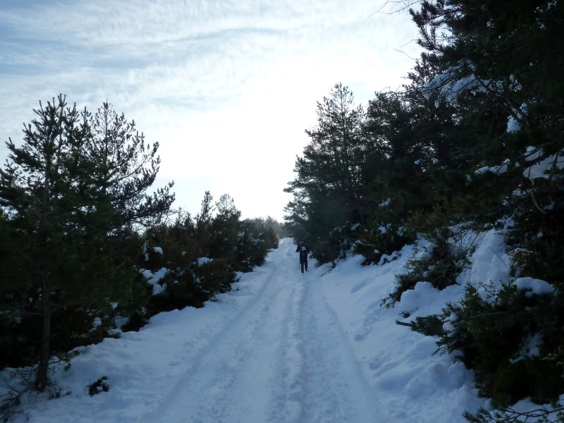
Había bastante nieve.
Photo Sharing and Video Hosting at Photobucket

Se empieza a nublar.
Photo Sharing and Video Hosting at Photobucket

Los rasos de Ollate.
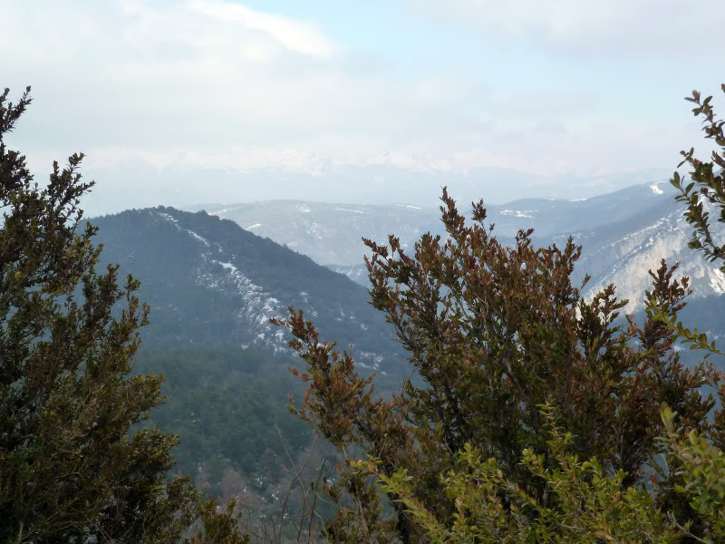
Photo Sharing and Video Hosting at Photobucket

Mirada atrás.
Photo Sharing and Video Hosting at Photobucket

Por el bosque.
Photo Sharing and Video Hosting at Photobucket

Photo Sharing and Video Hosting at Photobucket

Photo Sharing and Video Hosting at Photobucket

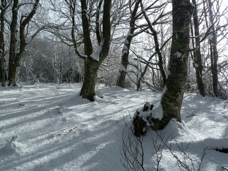
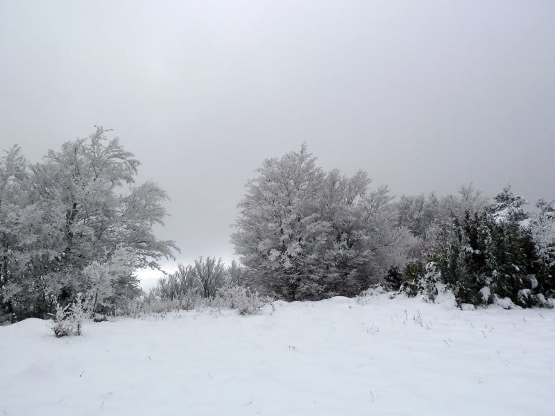
Llegamos al hayedo.
Photo Sharing and Video Hosting at Photobucket

Una bonita estampa.
Photo Sharing and Video Hosting at Photobucket

Continuamos ascendiendo.
Photo Sharing and Video Hosting at Photobucket

Photo Sharing and Video Hosting at Photobucket

Photo Sharing and Video Hosting at Photobucket

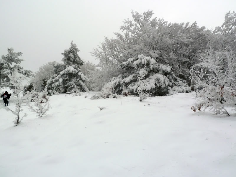
Salimos al raso ya todo nublado.
Photo Sharing and Video Hosting at Photobucket

Photo Sharing and Video Hosting at Photobucket

La cima muy cerca.
Photo Sharing and Video Hosting at Photobucket

El trío en la cima.
Photo Sharing and Video Hosting at Photobucket

Photo Sharing and Video Hosting at Photobucket

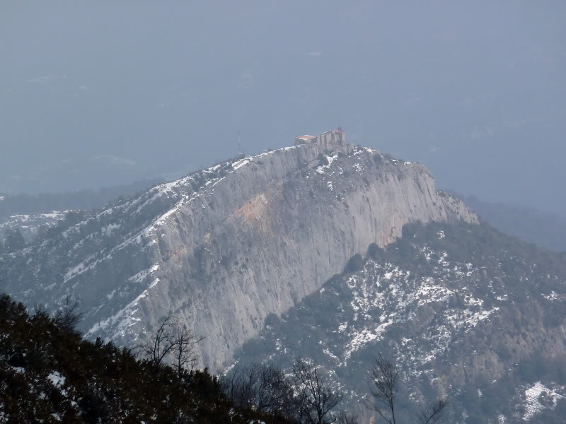
En un momento que se ha disipado la niebla,he podido captar la cima de La Virgen de la Peña.
Photo Sharing and Video Hosting at Photobucket

Regresamos.
Photo Sharing and Video Hosting at Photobucket

Photo Sharing and Video Hosting at Photobucket

Photo Sharing and Video Hosting at Photobucket

Photo Sharing and Video Hosting at Photobucket

La cabaña de los rasos de Ollate.
Photo Sharing and Video Hosting at Photobucket

Ya bajando veo otra vez,la cima de La Virgen de la Peña.
Photo Sharing and Video Hosting at Photobucket

Aunque no se aprecia,el pirineo está enfrente.
Photo Sharing and Video Hosting at Photobucket