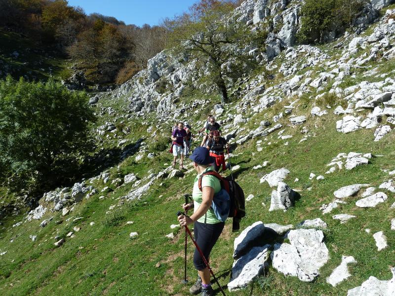
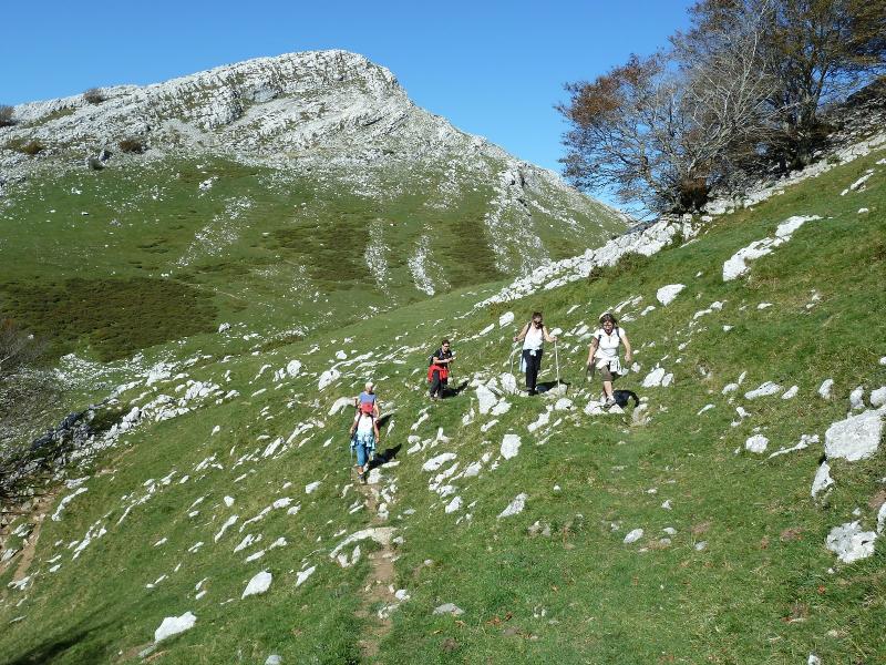
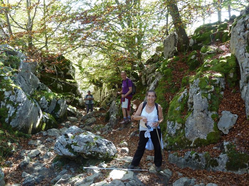
viernes, 7 de noviembre de 2014

GARMENDIA- TXARUTA Y OTROS

Jueves 06-11-2014
Hola amigos.
Aprovechado que era el único día de la semana que no llovería,hoy hemos estado en Artze barrio del pueblo de Donamaría para hacer una bonita circular siguiendo los pasos de Miren y Larra 25 forero de la familia Mendiak que realizaron este recorrido en Julio del 2014.

ACCESO GUÍA MICHELÍN

ITINERARIO
APARCAMIENTO 245 M
CIMA DE BURUZAR 905 M
CIMA DE GARMENDIA 1059 M
CIMA DE TXARUTA 1081 M
CIMA DE PUTZUETAKO GAINA 1062 M
CIMA DE PAGOAUNDI 1029 M
CIMA DE LABEAGA 911 M
CIMA DE ARGIBEL 855 M
DESNIVEL ACUMULADO SGPS 1342 M
DISTANCIA 19 KM
TIEMPO CAMINANDO 6,54 HORAS

DESCRIPCIÓN
Llegados a Artze aparcamos junto al lavadero y retornamos unos metros para tomar la pista que nos lleva hasta el fondo del barranco. El día está gris y nos han caido unas gotas pero enseguida ha parado. El sendero a partir del fondo del barranco tira todo para arriba sin tregua, salimos del bosque y llegamos a la cima de Buruzar.

Ahora seguimos y sin sendero aparente subimos la fuerte subida hasta la cima de Garmendia que la tenemos enfrente. De esta cima ya vemos Txaruta enfrente, bajamos y pasamos por un refugio y siguiendo un poco la pista nos metemos en la pala que sube al Txaruta llegando a su cima. Ahora bajamos por el lado contrario a la subida para marchar a la cima de Putzuetako Gaina que está en la ruta de la GR-12.

Llegamos a la cima y aquí se han echado las nieblas, seguiomos las marchas de la GR-12 y llegamos a un collado y de frente dejando las marcas de la GR-12 que se van por la izquierda subimos de frente para ascender a la cima de Pagoaundi donde llegamos. Ahora siguiendo el TRAK del amigo Larra en un sube y baja ascendemos a las siguientes cimas y seguir hasta el barrio de Artze.

Recomiendo hacer este recorrido con GPS pues hay varias bifurcaciones de caminos.Nos hemos colado algunas veces pero enseguida hemos enmendado.

EL TRAK. PINCHAR PARA VER


El lavadero con fuente,
Photo Sharing and Video Hosting at Photobucket

Photo Sharing and Video Hosting at Photobucket

Photo Sharing and Video Hosting at Photobucket

Mirada.
Photo Sharing and Video Hosting at Photobucket

Vamos hacia el fondo del barranco.
Photo Sharing and Video Hosting at Photobucket

Aquí seguimos de frente.
Photo Sharing and Video Hosting at Photobucket

Aquí también.
Photo Sharing and Video Hosting at Photobucket

Ahora por la derecha.
Photo Sharing and Video Hosting at Photobucket

Se decían,¿qué harán por aquí estos chalados?
Photo Sharing and Video Hosting at Photobucket

Pasamos junto a esa chabola.
Photo Sharing and Video Hosting at Photobucket

Mirada.
Photo Sharing and Video Hosting at Photobucket

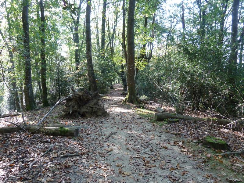
El sendero.
Photo Sharing and Video Hosting at Photobucket

Photo Sharing and Video Hosting at Photobucket

Se nota que ha llovido.
Photo Sharing and Video Hosting at Photobucket

Photo Sharing and Video Hosting at Photobucket

El sendero-
Photo Sharing and Video Hosting at Photobucket

Más agua.
Photo Sharing and Video Hosting at Photobucket

Ahora todo para arriba hasta salir al raso.
Photo Sharing and Video Hosting at Photobucket

Photo Sharing and Video Hosting at Photobucket

Photo Sharing and Video Hosting at Photobucket

Photo Sharing and Video Hosting at Photobucket

Salimos al raso,miradas.
Photo Sharing and Video Hosting at Photobucket

Photo Sharing and Video Hosting at Photobucket

Llegando a la cima de Buruzar.
Photo Sharing and Video Hosting at Photobucket

Con Lucio en la cima.
Photo Sharing and Video Hosting at Photobucket

Photo Sharing and Video Hosting at Photobucket

Ahí enfrente tenemos el Garmendia.
Photo Sharing and Video Hosting at Photobucket

Nos hemos cruzado con la rubia,
Photo Sharing and Video Hosting at Photobucket

Mirada.
Photo Sharing and Video Hosting at Photobucket

Vamos para arriba.
Photo Sharing and Video Hosting at Photobucket

Se veía algo de nieve.
Photo Sharing and Video Hosting at Photobucket

Mirada atrás.
Photo Sharing and Video Hosting at Photobucket

Vamos llegando.
Photo Sharing and Video Hosting at Photobucket

Mirada.
Photo Sharing and Video Hosting at Photobucket

Con Lucio en la cima de Garmendia.
Photo Sharing and Video Hosting at Photobucket

Photo Sharing and Video Hosting at Photobucket

Miradas.
Photo Sharing and Video Hosting at Photobucket

Photo Sharing and Video Hosting at Photobucket

Ahora a por el Txaruta.
Photo Sharing and Video Hosting at Photobucket

Photo Sharing and Video Hosting at Photobucket

Mirada atrás.
Photo Sharing and Video Hosting at Photobucket

Con Lucio en la cima del Txaruta.
Photo Sharing and Video Hosting at Photobucket

Photo Sharing and Video Hosting at Photobucket

Bajamos a la pista.
Photo Sharing and Video Hosting at Photobucket

De qué escultor será esto?
Photo Sharing and Video Hosting at Photobucket

Ahí queda el Txaruta.
Photo Sharing and Video Hosting at Photobucket

Subimos a la siguiente cima.
Photo Sharing and Video Hosting at Photobucket

Con Lucio en Putzuetako Gaina.
Photo Sharing and Video Hosting at Photobucket

Photo Sharing and Video Hosting at Photobucket

Por ahí hemos pasado.
Photo Sharing and Video Hosting at Photobucket

Ahora a por Pagoaundi.
Photo Sharing and Video Hosting at Photobucket

Con Lucio en la cima.
Photo Sharing and Video Hosting at Photobucket

Photo Sharing and Video Hosting at Photobucket

Continuamos.
Photo Sharing and Video Hosting at Photobucket

Llegando al Cdo de Labeaga.
Photo Sharing and Video Hosting at Photobucket

Borda.
Photo Sharing and Video Hosting at Photobucket

Con Lucio en la cima de Labeaga.
Photo Sharing and Video Hosting at Photobucket

Photo Sharing and Video Hosting at Photobucket

Mirada atrás.
Photo Sharing and Video Hosting at Photobucket

Photo Sharing and Video Hosting at Photobucket

En este paraje hemos parado a comer.
Photo Sharing and Video Hosting at Photobucket

Llegamos donde esta borda.
Photo Sharing and Video Hosting at Photobucket

Seguimos hacia Argibel.
Photo Sharing and Video Hosting at Photobucket

Mirada.
Photo Sharing and Video Hosting at Photobucket

Photo Sharing and Video Hosting at Photobucket

Con Lucio en la cima de Argibel.
Photo Sharing and Video Hosting at Photobucket

Llegamos donde esa fuente-
Photo Sharing and Video Hosting at Photobucket

Photo Sharing and Video Hosting at Photobucket

¿ Qué bicho es este? Me han dicho que es de raza Cachena.
Photo Sharing and Video Hosting at Photobucket

Continuamos.
Photo Sharing and Video Hosting at Photobucket

Photo Sharing and Video Hosting at Photobucket

Photo Sharing and Video Hosting at Photobucket

Photo Sharing and Video Hosting at Photobucket

Castaños.
Photo Sharing and Video Hosting at Photobucket

Llegamos a Artze.
Photo Sharing and Video Hosting at Photobucket

Bonita casa.
Photo Sharing and Video Hosting at Photobucket

Pongo el enlace a un pequeño vídeo.
Pinchar para ver

miércoles, 29 de octubre de 2014

ESKAX ARTIKUTZA IZU ESKAX (CIRCULAR)

Martes 29-10-2014
Hola amigos.
Hoy hemos marchado a la finca de Artikutza pues dicen que en el Otoño el colorido de sus bosques es estupendo para hacer fotos pero hoy no ha sido el día, el Otoño aquí aun no ha llegado y además cuando había sacado 10 fotos y un vídeo se me ha acabado la batería de la máquina y cuando la quiero cambiar ¡ HORROR! La batería se me ha perdido por un agujero del bolsillo del pantalón y no he podido hacer más fotos.
ACCESO.
Desde la localidad Guipuzcoana de Oyarzun tomamos la carretera GI-3631 que en unos 16 kilómetros pasando por el alto de Bianditz nos deja en el aparcamiento de Eskax.

ITINERARIO
ESKAX 654 M
ARTIKUTZA 320 M
CIMA DE IZU 829 M
CDO DE PAGOLLETA 650 M
CDO DE BURNAIZTIETA 713 M
ESKAX 654 M
DESNIVEL ACUMULADO 809 M
DISTANCIA 16,84 KM
TIEMPO SIN CONTAR PARADAS 4,50 HORAS

DESCRIPCIÓN
Llegados al aparcamiento cruzamos la valla y bajamos por la carretera y a unos 400 m tomamos por la izquierda el sendero que con marcas amarillas y blancas no llevarán sin pérdida hasta Artikutza pasando por bellos parajes. En el poblado tomamos el camino hacia la cima de Izu donde un poste indicativo y con fuerte desnivel durante 4,5 Km llegamos donde otro poste que nos indica a Pagolleta pero nosotros seguimos de frente a la cima de Izu.

Las vistas son estupendas y yo sin cámara para sacarlas. Ahora seguimos con la alambrada a nuestra izquierda siguiendo las marcas hacia Pagolleta que no lo subimos y pasamos por su ladera hasta el Cdo de Pagolleta donde hacemos una parada para comer.

Seguimos y el sendero nos lleva hasta el Cdo de Burnaiztieta donde hay una caseta de cazadores y de aquí por la izquierda a Eskax.
De regreso a casa paradita para hidratar.

NOTA. Artikutza es el paraje Navarro que más llueve unos 2500 litros al año,hoy estaba como las Bardenas.

EL TRAK. PINCHAR PARA VER


Desde el aparcamiento bajamos por la carretera unos 400 m y nos vamos por la izquierda.
Photo Sharing and Video Hosting at Photobucket

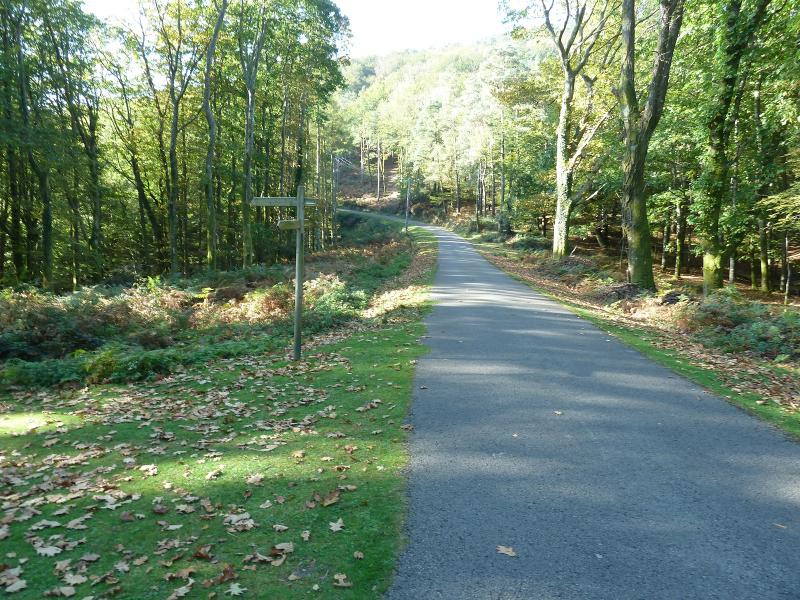
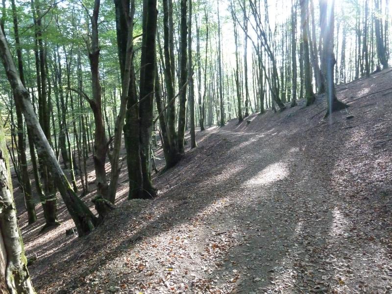
El sendero no tiene pérdida.
Photo Sharing and Video Hosting at Photobucket

Photo Sharing and Video Hosting at Photobucket

Photo Sharing and Video Hosting at Photobucket

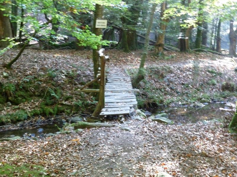
Cruzamos este puente y más adelante otro.
Photo Sharing and Video Hosting at Photobucket

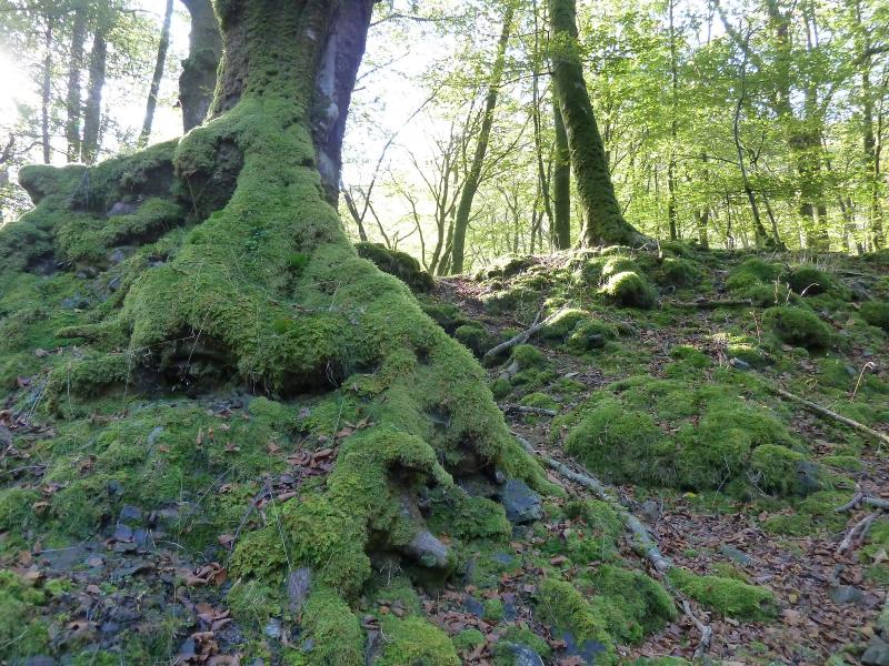
Musgos.
Photo Sharing and Video Hosting at Photobucket

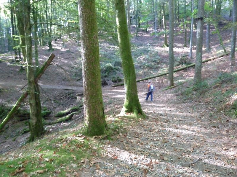
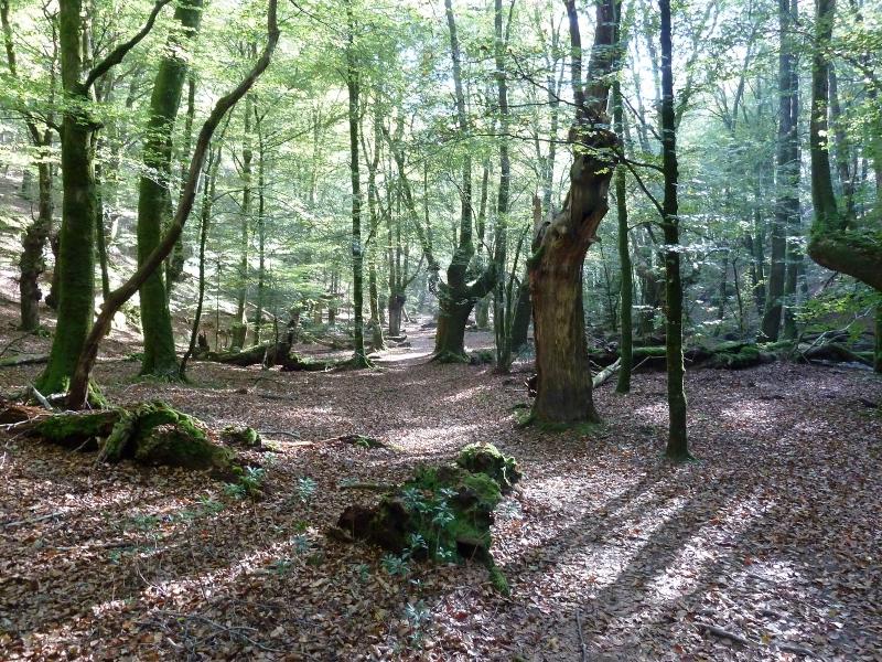
El paraje es estupendo.
Photo Sharing and Video Hosting at Photobucket

Un poco movida, Raices.
Photo Sharing and Video Hosting at Photobucket

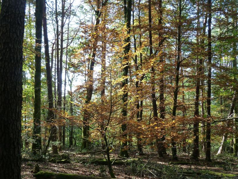
Este es el único árbol que tenía color.
Photo Sharing and Video Hosting at Photobucket

Y esta es la última foto.
Photo Sharing and Video Hosting at Photobucket

El enlace a un pequeño vídeo.
PINCHAR PARA VER

lunes, 27 de octubre de 2014

TTUTTURRE 1282 M

Domingo 26-10-2014.
Hola amigos.
Hoy tocaba salida con Los Amigos de la Montaña de Berriozar (Navarra) y lo hemos hecho marchando hasta el aparcamiento de Albi en Aralar para ascender a la cima del monte Ttutturre enclavado en Las Malloas.

ACCESO. desde Pamplona carretera a San Sebastian, nos salimos en Lecumberri y tomamos la carretera que sube al Santuario de Aralar y en el Kk 12 está el aparcamiento de Albi.

ITINERARIO
APARCAMIENTO 990 M
CIMA DE TTUTTURRE 1282 M
DESNIVEL 350 M
DISTANCIA I-V 11 KM
TIEMPO CAMINANDO 3,30 HORAS

DESCRIPCIÓN
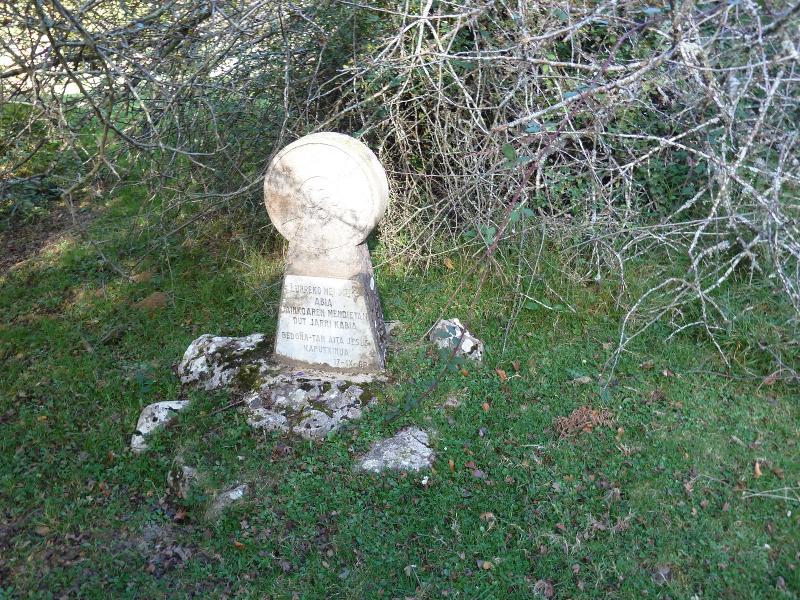
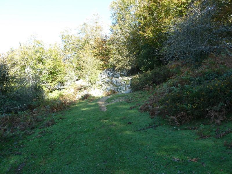
Llegados al aparcamiento nos ponemos en marcha y pasamos una puerta de hierro al final del aparcamiento donde nace una pista,enseguida llegamos donde una chabola que la dejamos a mano derecha y seguimos la pista. Llegamos donde un sendero viene de la izquierda con marcas rojas y nosotros seguimos por la derecha y llegamos a un claro del bosque y aquí la pista gira a la izquierda y pasamos junto a una choza que antaño usaban los pastores para dormir. El sendero se empina y llegamos donde un abetal donde hay una estela funeraria.

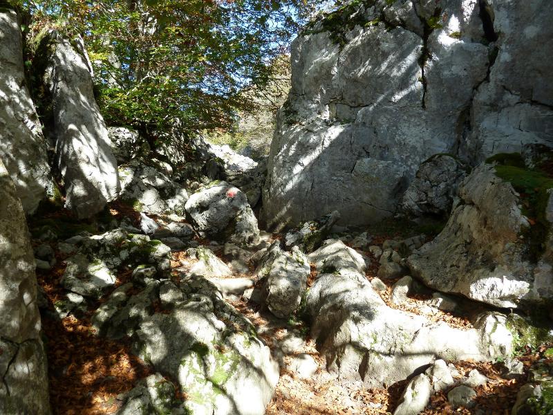
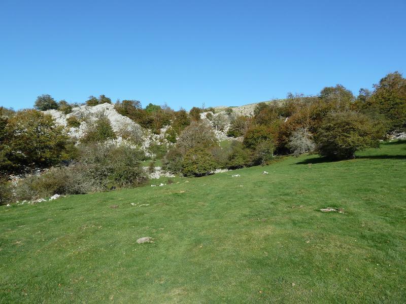
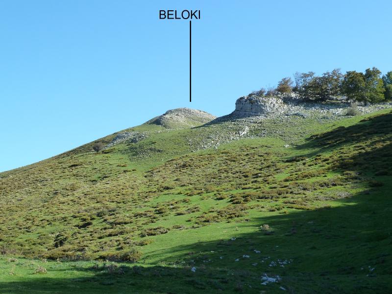
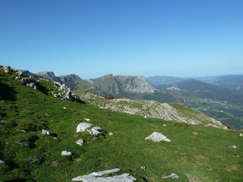
Ahora el sendero se mete entre rocas saliendo a un raso donde enseguida vemos una chabola que pasamos junto a ella. Seguimos y salimos a una especie de circo donde vemos el Beloki a mano derecha. Ahora vamos hacia una especie de colladito a mano derecha que nos saca a los rasos de Aralar donde ya se ven las cimas de las Malloas.

De este colladito nos vamos por la derecha en busca de el paso entre el Ttutturre y el Alborta y nos plantamos en la base del Ttutturre y por la derecha subimos a la cima. El día está fabuloso, tomamos el hamaiketako nos hacemos la foto y ahora bajamos por el otro lado de la subida dándole la vuelta al monte y por el mismo camino de subida regresamos hasta el raso descrito al principio y de frente nos vamos siguiendo un sendero que nos saca a la chabola del principio de la marcha.

Regresamos a casa para la hora de comer.

EL TRAK. PINCHAR PARA VER

SI NO SE VEN LAS FOTOS PINCHAR AQUÍ

Iniciamos la marcha cruzando la puerte de hierro.
Photo Sharing and Video Hosting at Photobucket

Vamos contentos pues el día está de verano.
Photo Sharing and Video Hosting at Photobucket

El hayedo aun no toma color.
Photo Sharing and Video Hosting at Photobucket

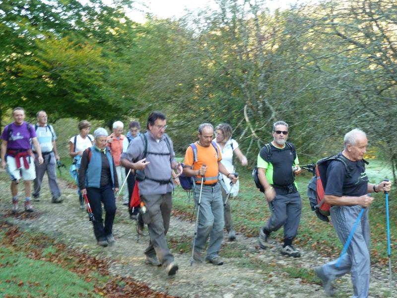
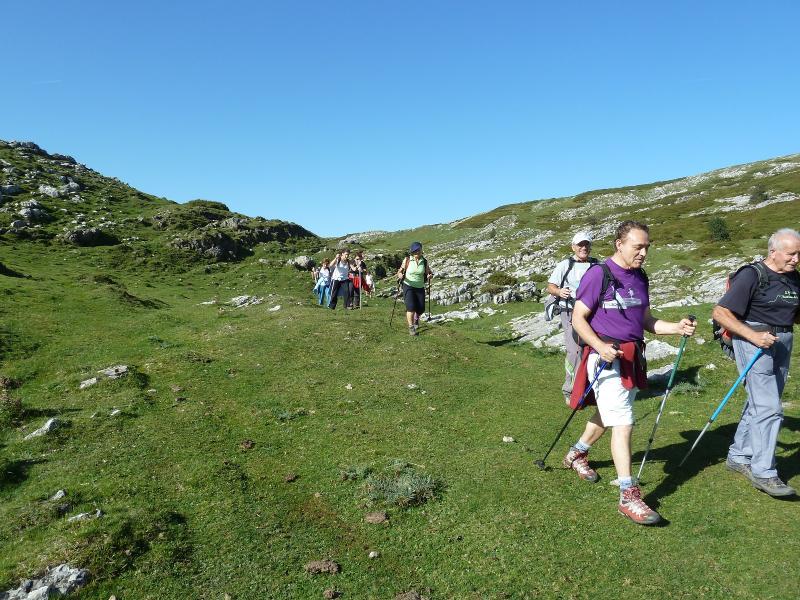
El grupo.
Photo Sharing and Video Hosting at Photobucket

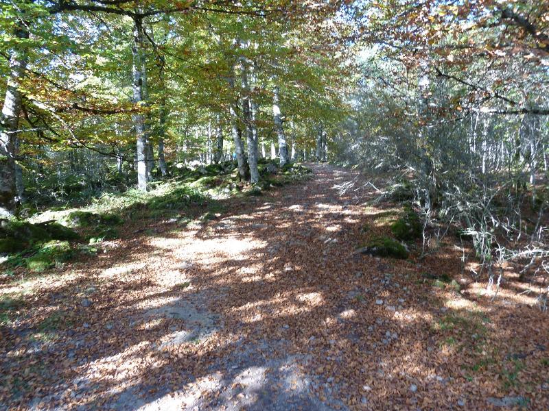
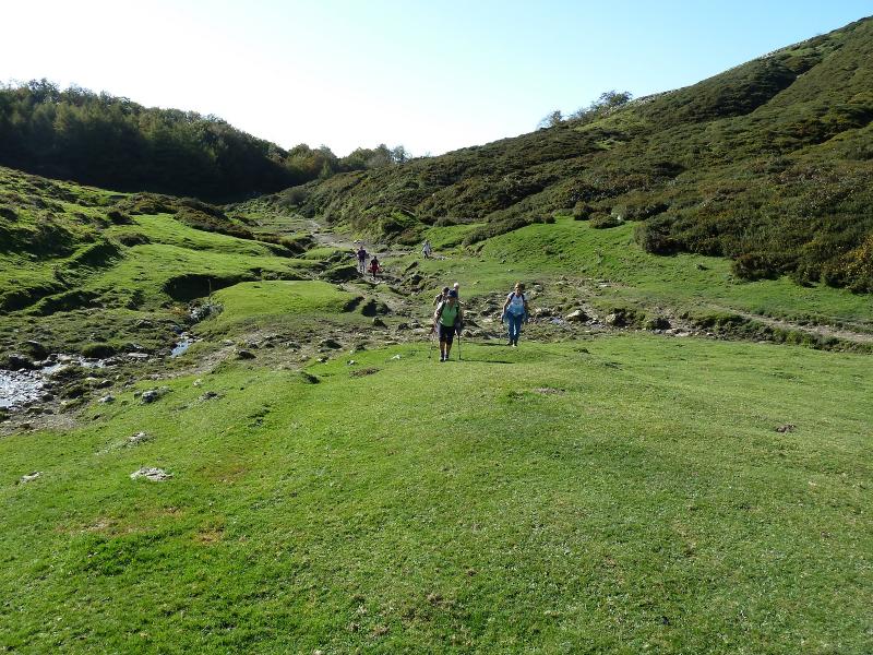
El sendero.
Photo Sharing and Video Hosting at Photobucket

Subimos un repecho.
Photo Sharing and Video Hosting at Photobucket

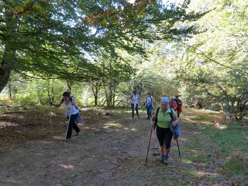
Las damas en retaguardia.
Photo Sharing and Video Hosting at Photobucket

Estela funeraria en el camino.
Photo Sharing and Video Hosting at Photobucket

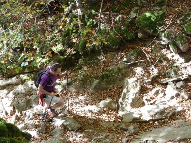
Nos vamoa a introducir en un toquedo.
Photo Sharing and Video Hosting at Photobucket

Photo Sharing and Video Hosting at Photobucket

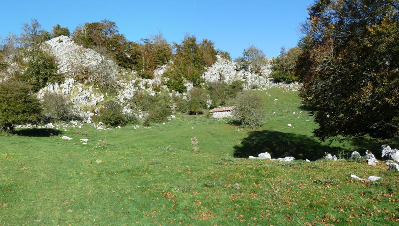
Del roquedo salimos a este raso.
Photo Sharing and Video Hosting at Photobucket

Y llegamos donde esta chabola.
Photo Sharing and Video Hosting at Photobucket

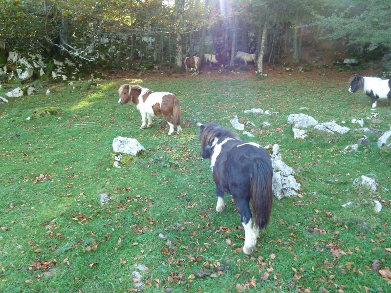
Habían otros "animalicos"
Photo Sharing and Video Hosting at Photobucket

Vemos el Beloki.
Photo Sharing and Video Hosting at Photobucket

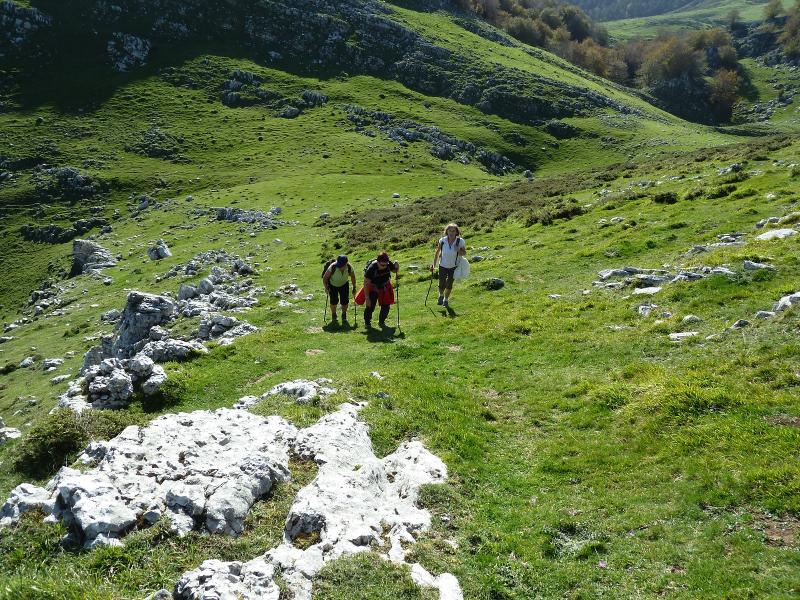
Vamos subiendo al colladito.
Photo Sharing and Video Hosting at Photobucket

Photo Sharing and Video Hosting at Photobucket

Photo Sharing and Video Hosting at Photobucket

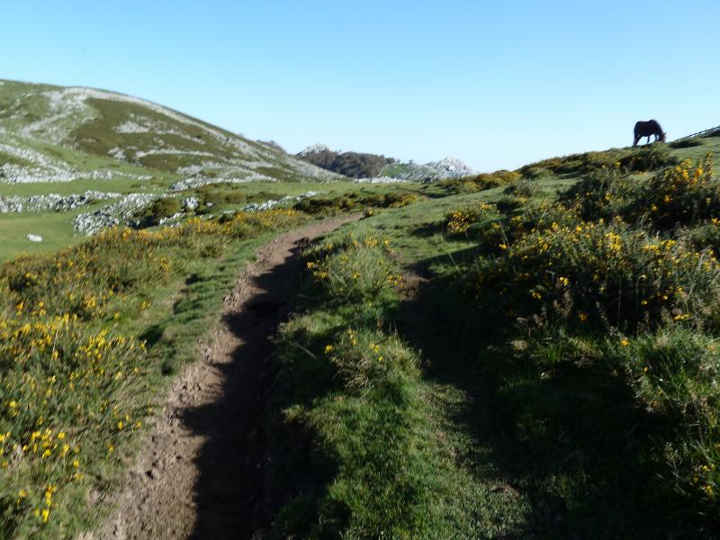
Salimos a los rasos de Aralar, la punta que se ve a la derecha es el Ttutturre.
Photo Sharing and Video Hosting at Photobucket

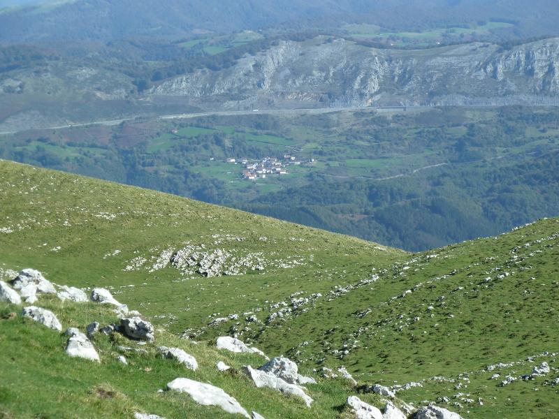
Mirada.
Photo Sharing and Video Hosting at Photobucket

Vamos hacia el Ttutturre.
Photo Sharing and Video Hosting at Photobucket

Photo Sharing and Video Hosting at Photobucket

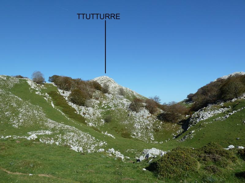
Ya lo vemos.
Photo Sharing and Video Hosting at Photobucket

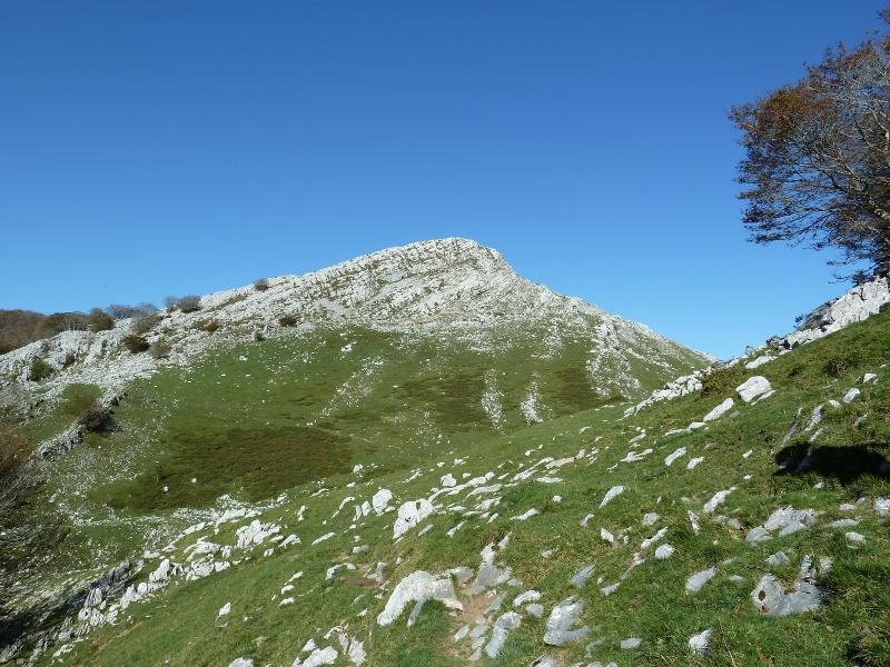
llegamos a su base.
Photo Sharing and Video Hosting at Photobucket

Vemos el pueblo de Azpiroz.
Photo Sharing and Video Hosting at Photobucket

Vamos subiendo a la cima.
Photo Sharing and Video Hosting at Photobucket

Mirada.
Photo Sharing and Video Hosting at Photobucket

Malloas.
Photo Sharing and Video Hosting at Photobucket

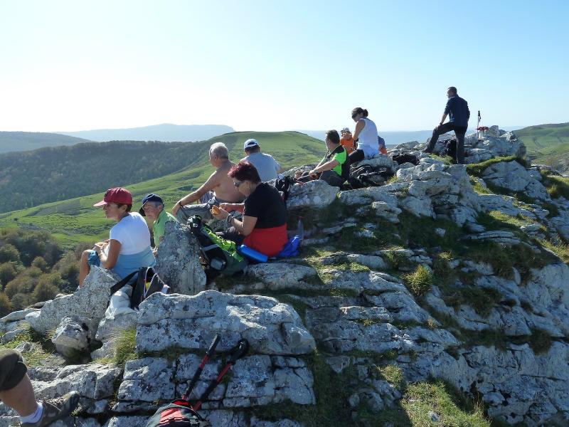
Hamaiketako en la cima.
Photo Sharing and Video Hosting at Photobucket

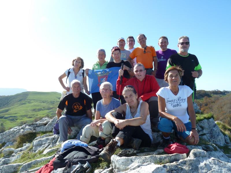
El grupo en la cima.
Photo Sharing and Video Hosting at Photobucket

Regresamos.
Photo Sharing and Video Hosting at Photobucket

Photo Sharing and Video Hosting at Photobucket

Photo Sharing and Video Hosting at Photobucket

Francis y Marisa contentos con la excursión.
Photo Sharing and Video Hosting at Photobucket