Hola amigos.
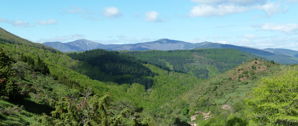
Con el afán de conocer nuevas rutas,hoy nos hemos trasladado a la localidad riojana de Ezkaray para ascender a la cima Cuesta de Narros en la sierra de la Demanda haciendo una circular.
ACCESO GUÍA MICHELÍN
ITINERARIO
APARCAMIENTO 819 M
ALDEA DE TURZA 1106 M
CDO LARRIZABALA 1257 M
CIMA CUESTA DE NARROS 1388 M
COTA 1184 M
CIMA AL LADO DE LAS ANTENAS 1019 M
ERMITA DE NUESTRA SEÑORA DE ALLENDE 836 M
DISTANCIA 12 KM
TIEMPO TOTAL 5 HORAS 21 MINUTOS
TIEMPO CAMINANDO 4 HORAS 7 MINUTOS
DESCRIPCIÓN
Llegados a Ezkaray aparcamos donde la antigua estacíón pasando el puente sobre el río Oja. Seguimos por la carretera y enseguida tomamos a mano derecha la GR 95 que en un poste indicador pone a San Millán de la Cogolla y seguimos sin pérdida pasando por la aldea de Turza hasta el Cdo de Arrizabala donde hay un depósito de aguas.
Aquí dejamos la Gr para por la izquierda en fuerte subida encaramarnos a el lomo de la sierra y una vez arriba por la izquierda subimos a la cima de Cuesta Narros. El día está muy bueno pero hacia la sierra de Cantabria hay brumas. Ahora bajamos por el cordal y subimos a una cota y otra vez para abajo y así llegamos siguiendo el sendero pegados a una alambrada que la cruzamos para llegar donde unas antenas donde dicen que es la cima de San Torcuato pero como hemos visto un promontorio encima de las antenas ahí nos hemos hecho la foto como cima. Habrá que ponerle nombre tenía un taco de goma.
Después hemos intentado bajar siguiendo derechos pero nos hemos dado la vuelta hasta cruzar la alambrada y ahí nace un sendero que nos ha bajado a la ermita de Nuestra Señora de Allende patrona de Ezkaray donde hemos comido. Llegados al aparcamiento regresamos parando en un bar de Ezkaray a tomar café.
NOTA. La cima de San Torcuato es una roca que está en las antenas, nos hemos enterado después.
EL TRAK. PINCHAR PARA VER
SI NO SE VEN LAS FOTOS PINCHAR AQUÍ
Enseguida del aparcamiento a la derecha tomamos la GR-95 hacis San Millan.
Hay que seguir las marcas de la GR.
El hayedo en todo su esplendor.
Llegamos a la aldea de Turza.
Pasamos la aldea y seguimos las marcas de la GR.
Por ahí arriba tenemos que caminar luego.
Ahí abajo queda la aldea de Turza.
Mirada.

Llegamos al collado de Larrizabala.

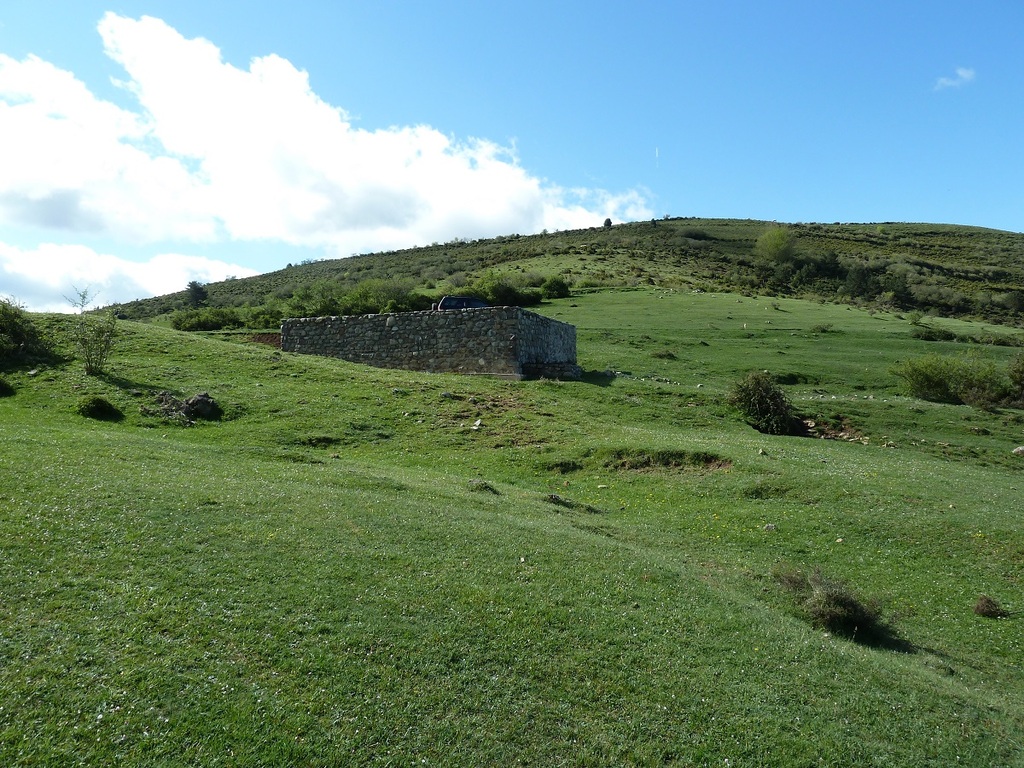
Hay un depósito de agua.
Subimos al cordal.
Mirada.
Subiendo a Cuesta Narros,Lucio cogiendo champiñones.
El potrillo echando una cabezada.
Una mirada a la sierra de Cantabria.
Mirada atrás.
Con Lucio en la cima de Cuesta Narros.
Seguimos el cordal.
Estas remugando.
Este esperando ha ver si se pone alguna a tiro.
Montañas que estuvimos hace unos años.
Mirada atrás.
Pasamos junto a ese mojón.
Ahí abajo Ezkaray.
Mirada.
En esta zona había mucho Acebo.
Seguimos.
Mirada atrás.
Nos topamos con la rubia.
Miradas.
Seguimos el cordal.
Tenemos que llegar donde las antenas.
Mirada.
Mirada atrás.
Con Lucio en donde nos parecía que era la cima de San Torcuato
Mirada.
Llegamos a la ermita.
El altar.
Mirada desde la ermita.
Por estas escaleras bajamos y enseguida llegamos al aparcamiento.
Pongo el enlace a un pequeño vídeo.
PINCHAR PARA VER

Que tal Javier. Me he comprado un gps como el tuyo y tengo un problemilla.Cuando paso el track del gps al ordenador con el mapsource me sale el track pero no se descargan los waypoints no se si hay que configurar algo en el gps o no se....tu no sabras.....un saludo gracias.
ResponderEliminarAupa. Te comento que yo primero descargo el Trak en Base Cam y lo paso al ordenador,luego pongo Map Source y lo pongo ahí y así si salen los Waypoints.Espero haberte ayudado .
ResponderEliminar