Hola amig@s
Nuestra excursión semanal hoy ha sido por Les Forges D`Abel a la cima de Acué montaña del cordal fronterizo del valle de Aragón Subordán y el valle de Aspe, el día ha estado maravilloso.
ACCESO GUÍA MICHELÍN
ITINERARIO
APARCAMIENTO 1064 M
CDO DE ACUÉ 2015 M
2º COLLADO 2148 M
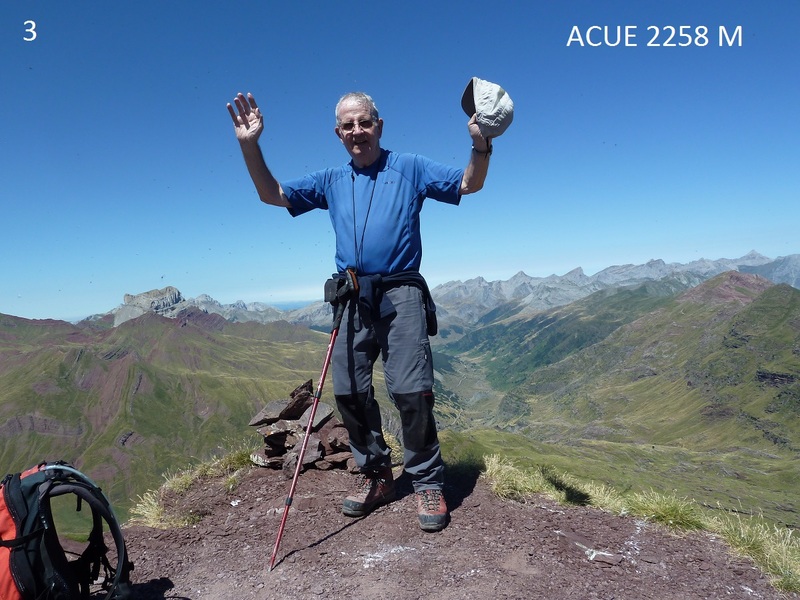
CIMA DE ACUÉ 2258 M
PASO DE ESCALÉ 1640 M
APARCAMIENTO 1064 M
DESNIVEL ACUMULADO 1200 M
DISTANCIA 22 KM
TIEMPO TOTAL 10 HORAS
TIEMPO CAMINANDO 8,30 HORAS
DESCRIPCIÓN
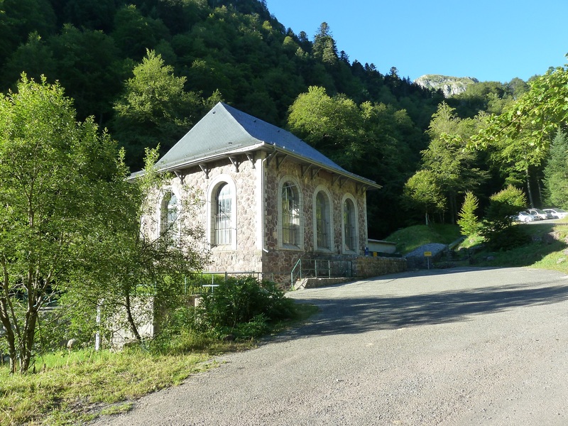
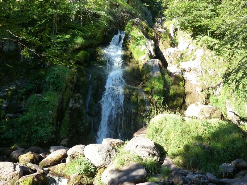
Llegamos al aparcamiento y yo zoquete de mi pensando que la central eléctrica era la que estaba donde Les Forges D`Abel me he tragado 2,5 km de carretera hasta la central que hay un aparcamiento, pero ya no hay remedio. Llegados a la central de arriba vamos por pista de tierra que en 800 mnos lleva al aparcamiento de Espélunguére y ahí tomamos a la izquierda un sendero marcado con letrero al refugio de Arlet. Enseguida llegamos a la cascada de Espélunguére y por sendero en el bosque vamos subiendo y antes de salir al raso hacemos una parada para almorzar.
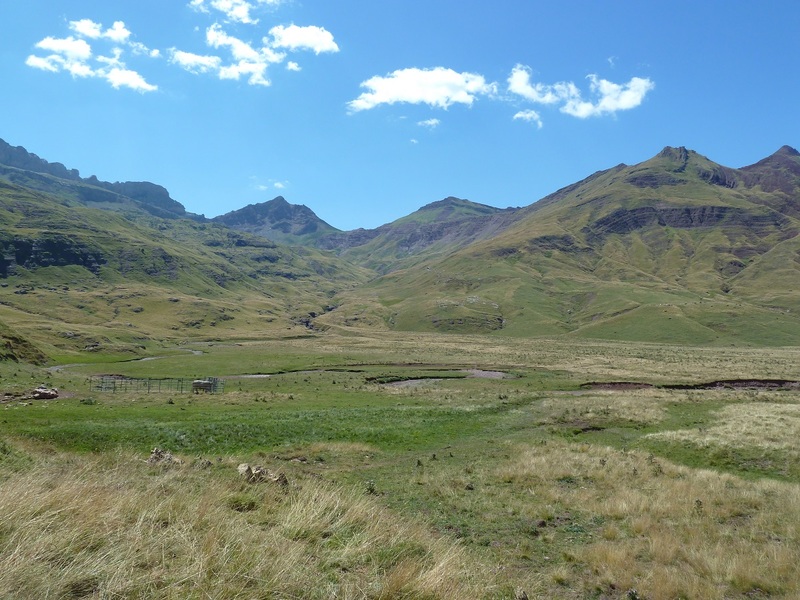
Llegamos a la majada de Coveq donde están ordeñando las ovejas aquí dejamos la ruta a el refugio de Arlet y por la izquierda por pista vamos subiendo al Collado de Acué que ya lo vemos bien alto, la pista termina donde hay varias cabañas y de ahí el sendero está marcado con hitos. Aquí nos hemos encontrado a una Sra francesa que marchaba sola y por señas y enseñándonos un mapa resulta que marchaba a la misma montaña y hemos marchado juntos nos ha dicho que tiene 72 años como yo y por poco no la puedo seguir.
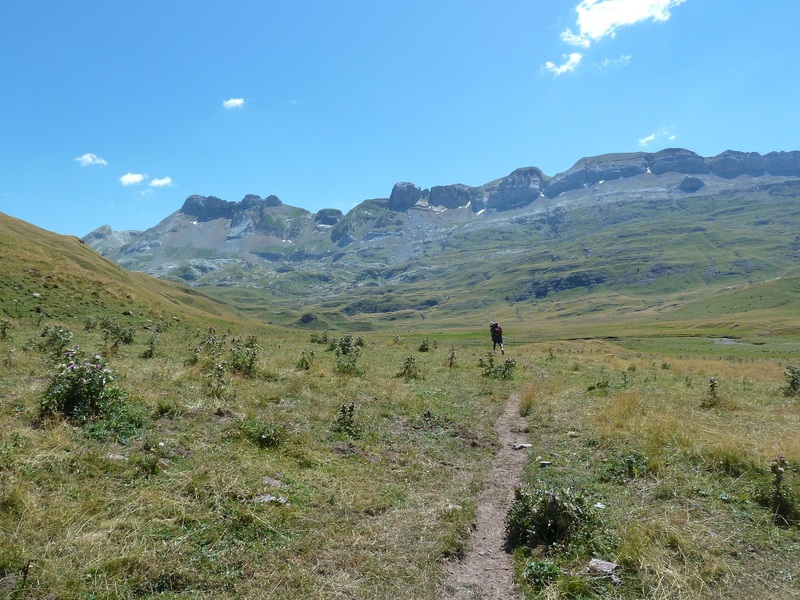
Llegamos al Cdo de Acué y por la izquierda marchamos a otro pequeño collado que está enfrente y de ahí por la izquierda a la cima de Acué que nos reciben cientos de anderetes que no nos han dejado disfrutar de la cima. Hemos sacado la foto de rigor y enseguida hemos bajado al 2º collado y ahí la Sra francesa de ha quedado a comer, nosotros hemos bajado hasta casi el Cdo de Acué y por la izquierda por el barranco cara a Guarrinza y ya bastante abajo hemos visto un sendero de ganado a la izquierda y hemos visto factible la bajada al Valle de Aguas Tuertas y hemos parado a comer.
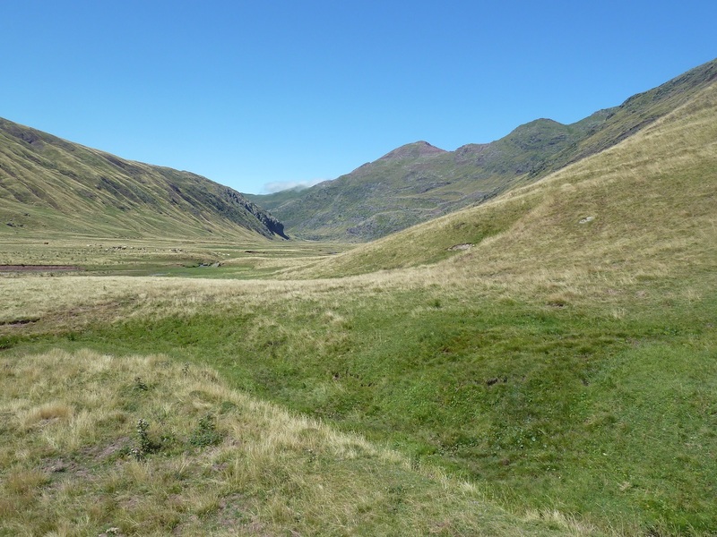
Por sendero y sin sendero un poco a lo cabra hemos bajado a Aguas Tuertas y de ahí al Paso de Escalé y con fuerte bajada hemos salido a la pista y de ahí poco a poco hasta el aparcamiento, un matrimonio francés se nos ha ofrecido bajarnos los 2,5 km de carretera pero no hemos querido.
De regreso a casa paradita en Villanua para hidratar.
NOTA. Si alguno quiere hacer este recorrido con mi TRAK subir con el coche hasta la central eléctrica.
EL TRAK. PINCHAR PARA VER
SI NO SE VEN LAS FOTOS PINCHAR AQUÍ
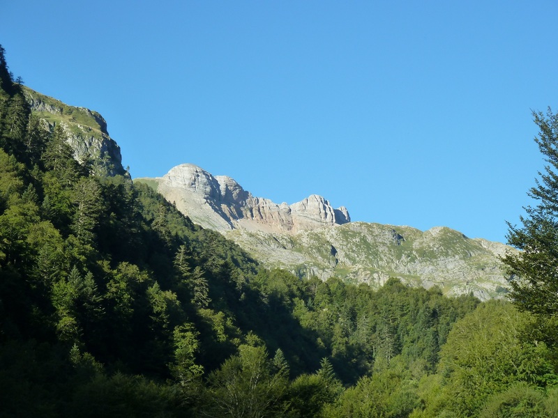
Así de bueno estaba el día.
Esta es la central donde teníamos que haber aparcado.
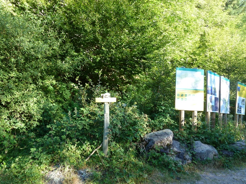
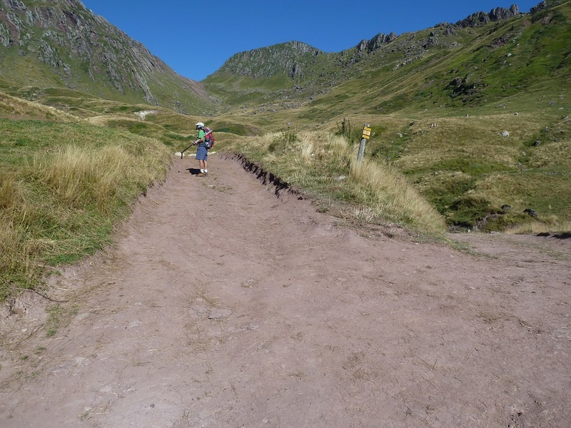
Cartel anunciador a el refugio de Arlet.
Cascada de Espélunguére.
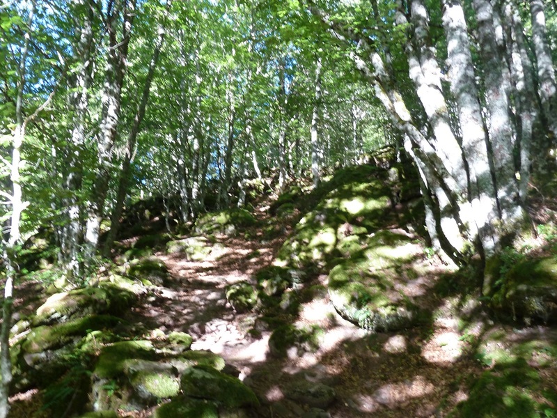
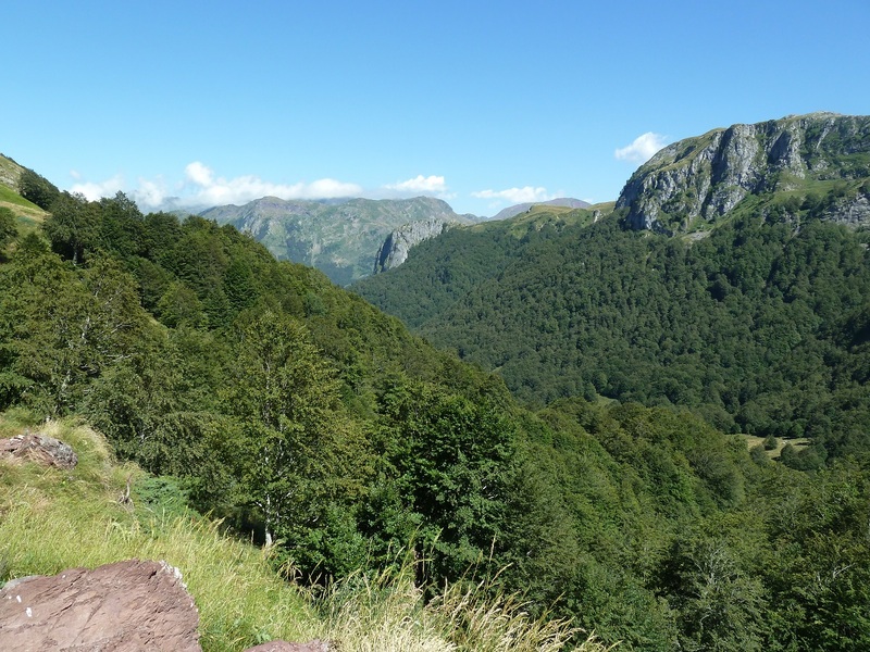
Por el bosque.
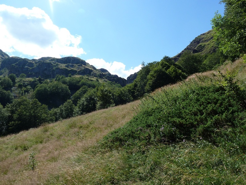
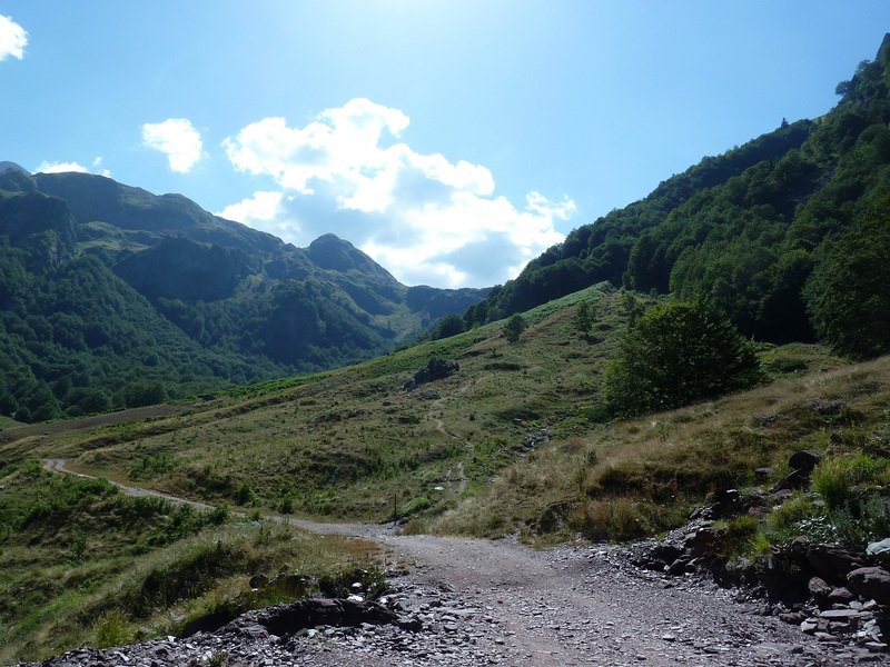
Salimos al raso.
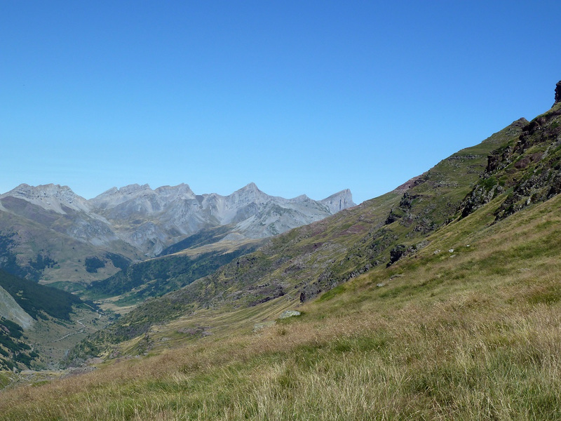
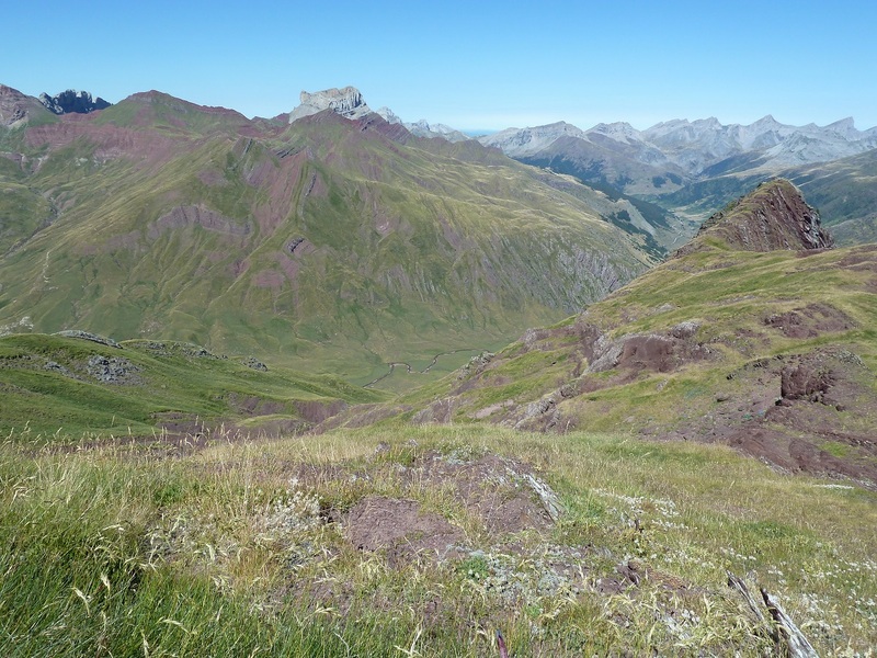
Una mirada atrás.
Miradas.
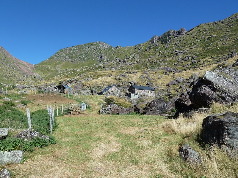
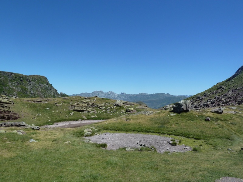
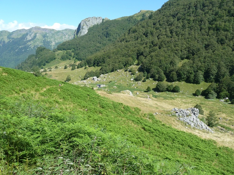
Llegamos a la vaguada de Coveq.
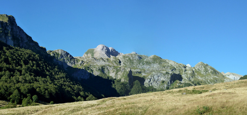
Asoma el Midi.
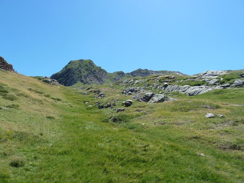
Aquí dejamos el sendero a el refugio de Arlet y nos vamos por la izquierda a subir al Cdo de Acué que lo tenemos enfrente.
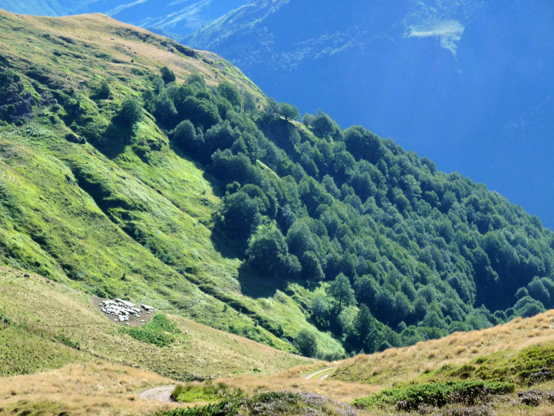
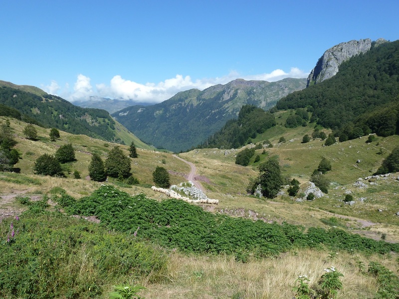
Ahí abajo hay un buen rebaño.
Otra al Midi.
Done estas cabañas termina la pista.
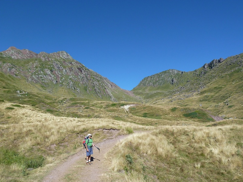
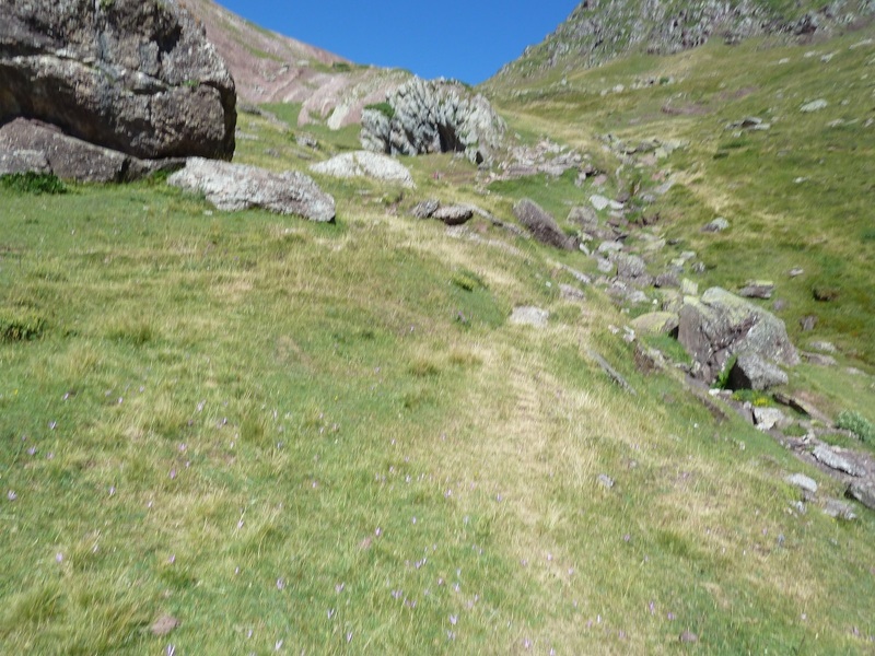
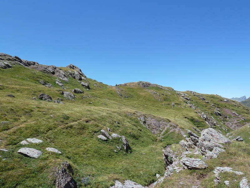
Vamos subiendo siguiendo los hitos.
Echamos un Zoom.
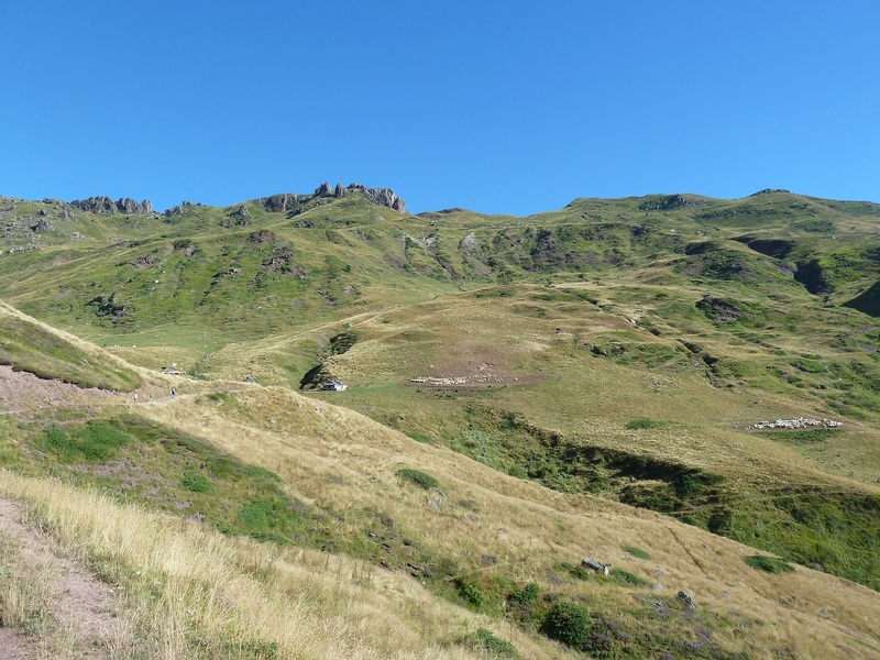
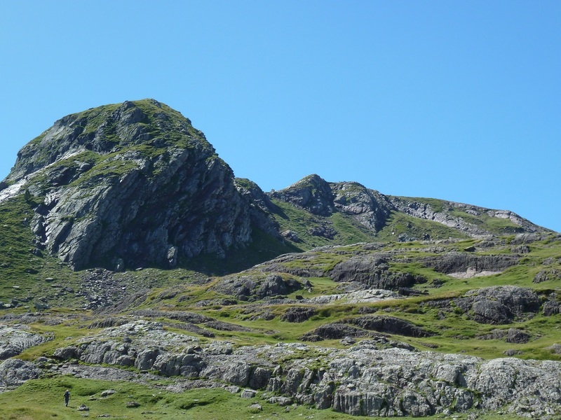
El collado cerca.
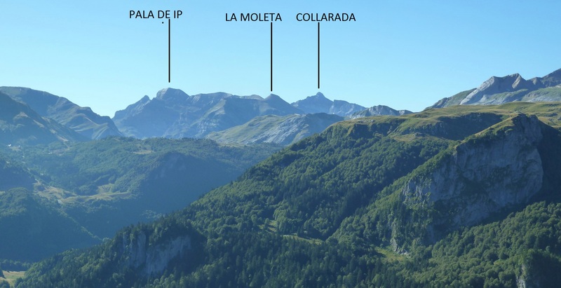
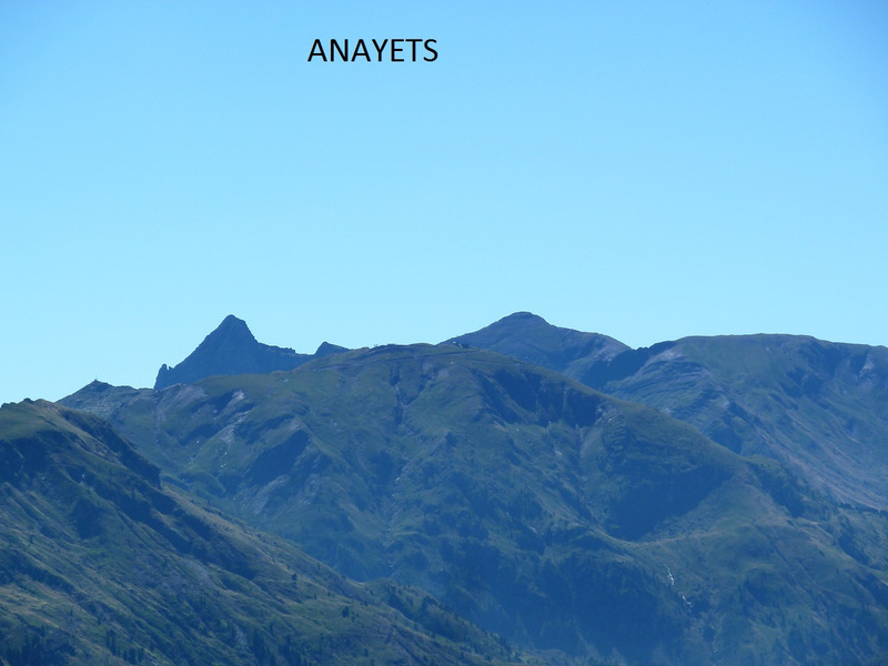
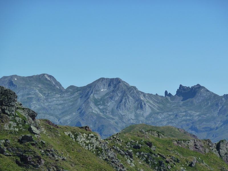
Llegamos al collado,Petrechema,Sobarcal,Acherito,Chinebral de Gamueta de derecha a izquierda.
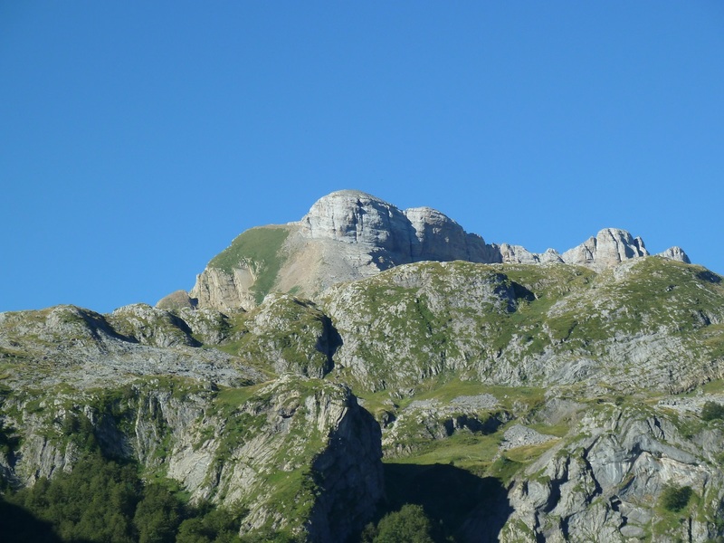
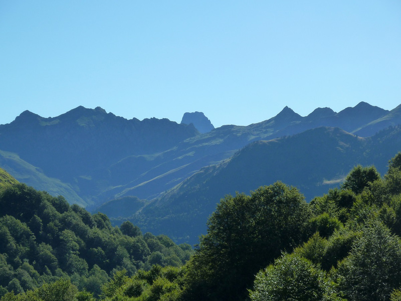
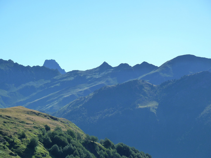
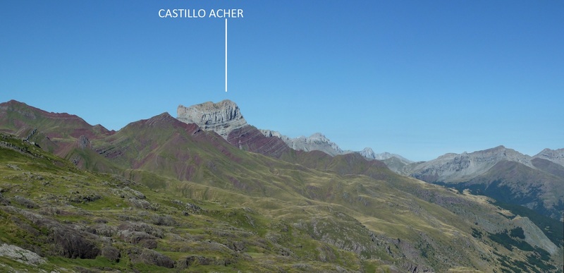
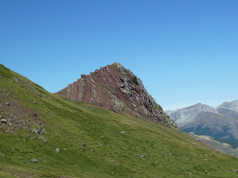
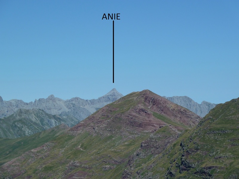
El Castillo Acher.
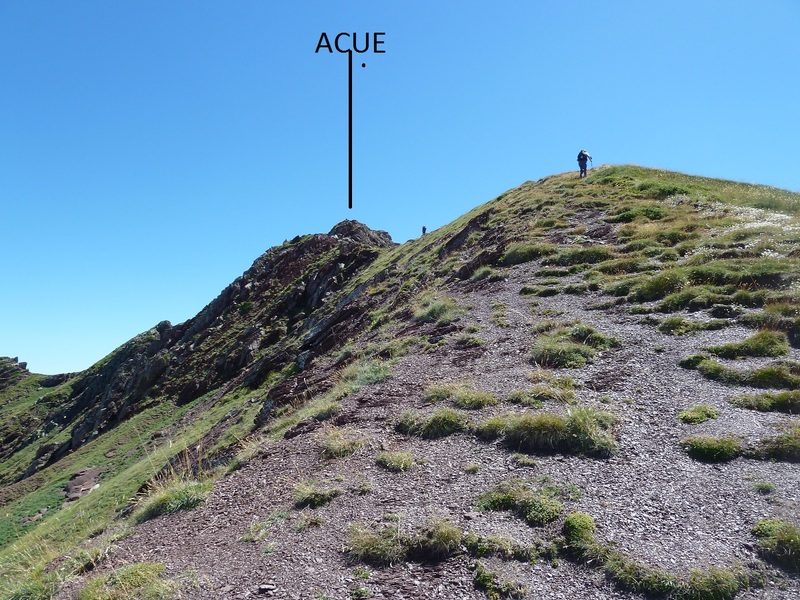
Vamos hacia el Acué.
Un par de Zoom.
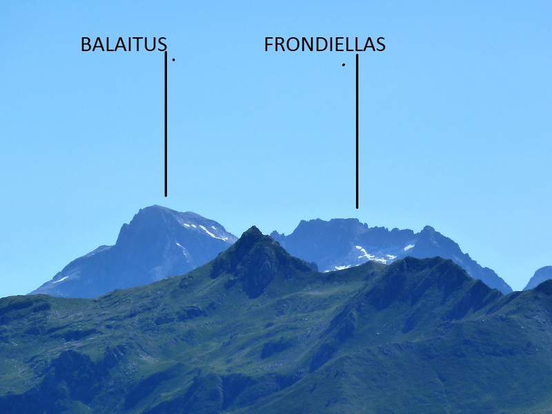
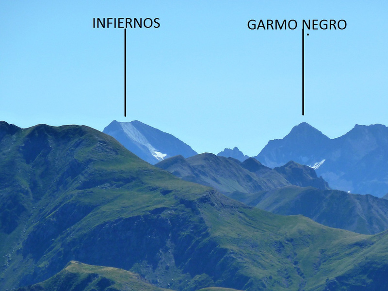
Ahora al Sesques y su Caperán.
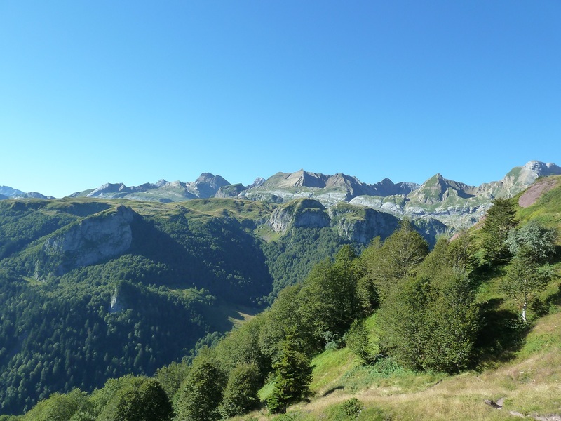
Vistas.
Llegando al Acué delante mía va la Sra Francesa.
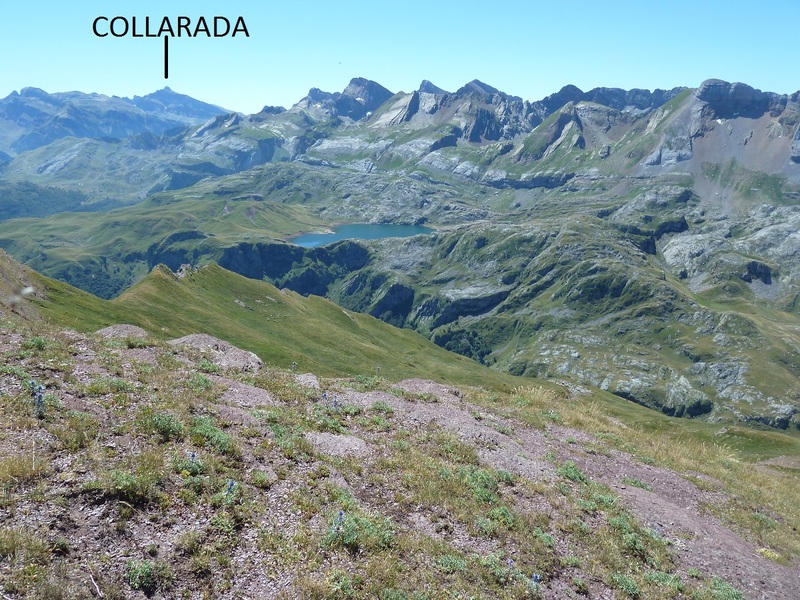
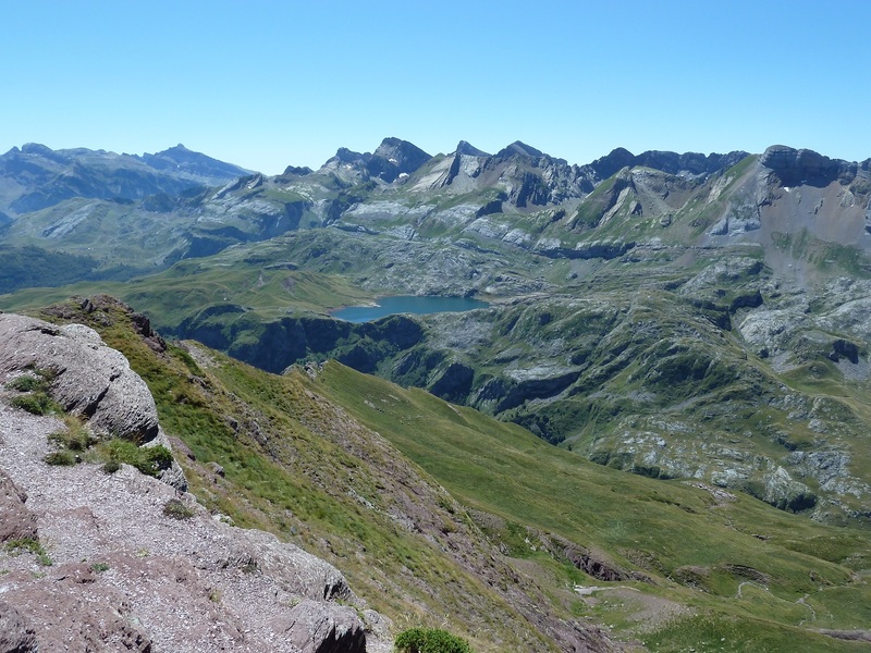
Mirada al Ibon de Estanes.
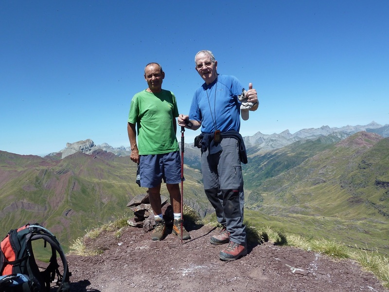
Con Lucio en la cima de Acué.
Otra del Ibon.
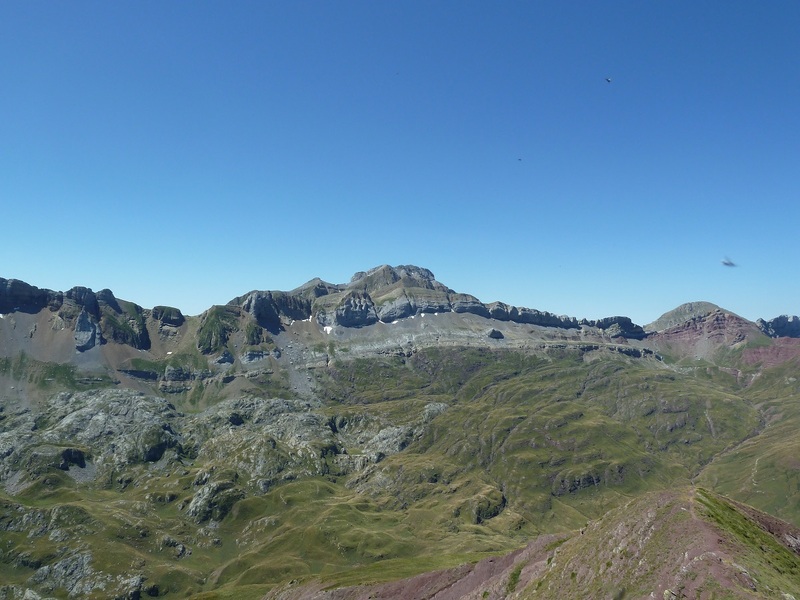
Ese mastodonte es Bisaurin.
Nos bajamos hacia Guarrinza.
Mirada atrás.
De donde está Lucio bajaremos a Aguas Tuertas.
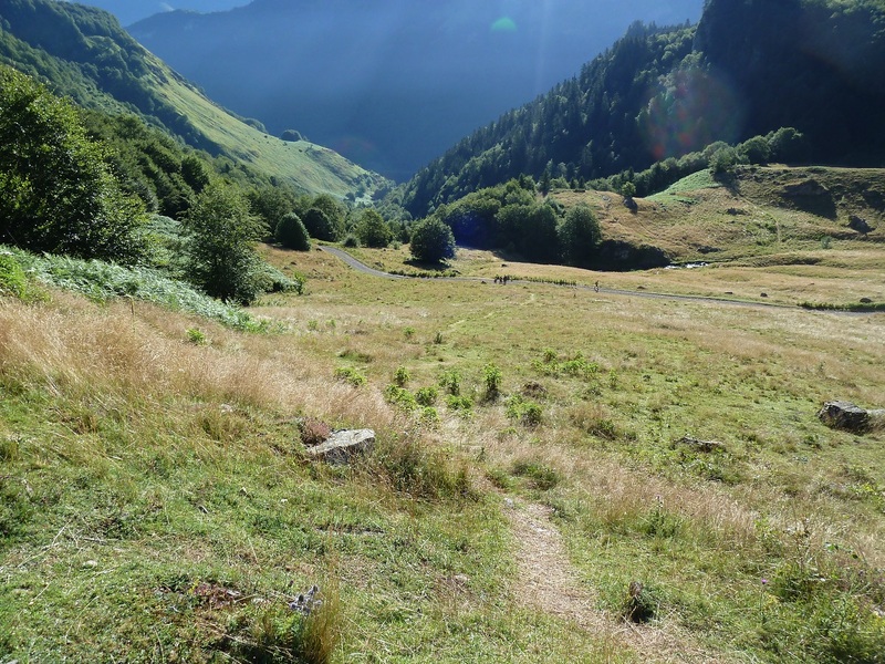
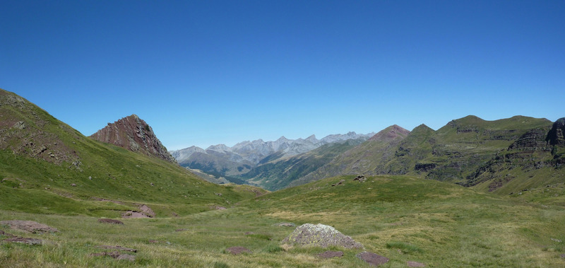
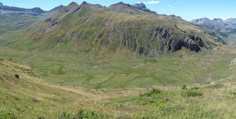
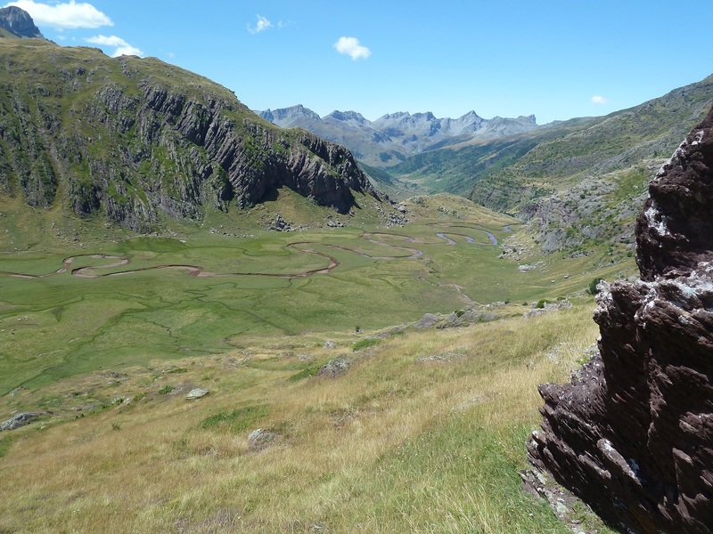
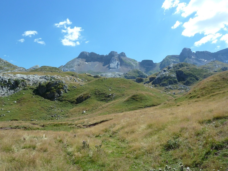
Me encanta el Valle de Aguas Tuertas,
Vamos en busca del Paso de Escalé.vemos la sierra de Secus.
Mirada.
Mirada atrás.
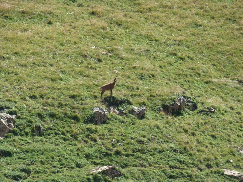
Lo pillé de churro.
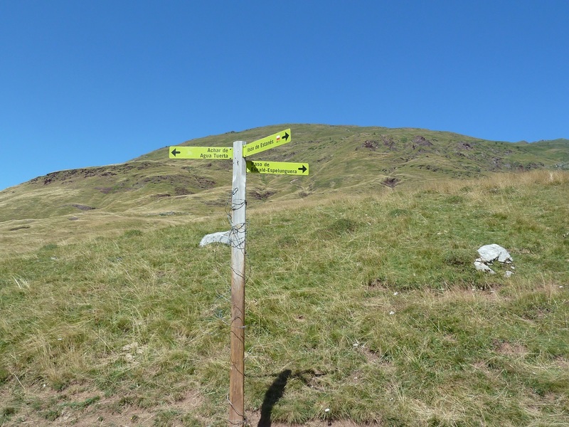
Poste indicativo.
Pasamos por debajo del Ibon de Estanes.
Esto me recordó al que hay en la vuelta al Txindoki.
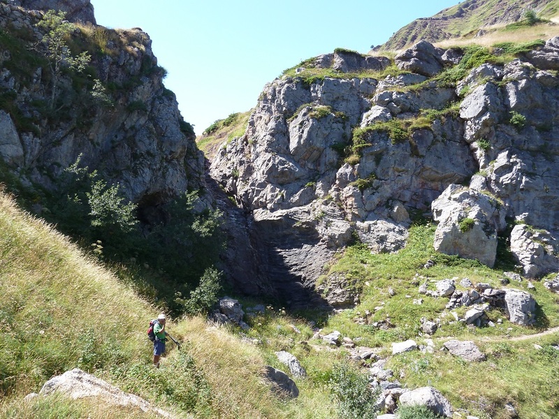
Bajando el Paso de Escalé.
Ahí arriba queda.
Llegamos a la pista.
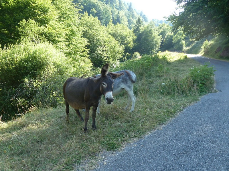
Y estos me han dicho pero que burros sois mira que no subir con el coche a la central.
Pongo un pequeño vídeo. PINCHAR PARA VER

¿ Qué tal Xabier ? Yo Acué lo tengo hecho desde Guarrinza, mejor dicho, salimos desde el viejo camping de Selva de Oza y por Aguas Tuertas p´arriba. Un bonito cordal en el que se pueden encadenar varias cimas más. Bellos parajes que invitan al paseo. Una bonita " pateada " con 2´5 kilómetros extras, más otro tanto de vuelta ...... uffffff, es que eres una máquina.
ResponderEliminarAupa Oscar. Yo también he subido dos veces a el Acué por Aguas Tuertas pero tenía ganas de conocer la subida de la parte francesa y me ha gustado mucho.Lo único que he hecho el canelo no informándome bien de donde se partía,para otra vez ya lo se. Gracias por la visita.
ResponderEliminarUn saludo.
Aupa Oscar. Yo también he subido dos veces a el Acué por Aguas Tuertas pero tenía ganas de conocer la subida de la parte francesa y me ha gustado mucho.Lo único que he hecho el canelo no informándome bien de donde se partía,para otra vez ya lo se. Gracias por la visita.
ResponderEliminarUn saludo.