miércoles, 1 de mayo de 2013

VUELTA A LAS BURBONAS.

Domingo 28-04-2013
Hola Amigos.
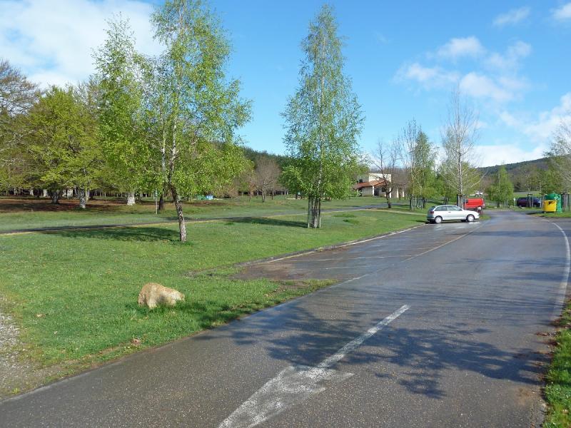
Esta es una excursión con los Amigos de la Montaña de Berriozar donde desde la localidad Alavesa de Sarria concrétamente desde Parketxea que está a 3 km de Sarria en pleno corazón del parque natural del Gorbea donde hay un gran aparcamiento y un centro de interpretación de la naturaleza.

ACCESO
Desde Pamplona a Vitoria y de Vitoria a Bilbao por Altube y nos salimos hacia Murguia y de ahí a Sarria y de Sarria a Parketxea.

ITINERARIO
APARCAMIENTO652 M
CIMA DE TXINTXULARRA 845 M
CIMA DE ASTAIZ 904 M
CIMA DE BURBONA OCCIDENTAL 931 M
CIMA DE BURBONA CENTRAL 934 M
CIMA DE BURBONA ORIENTAL 928 M
DESNIVEL ACUMULADO 450 M DISTANCIA 16 KM
TIEMPO EN MOVIMIENTO 4,15 HORAS

DESCRIPCIÓN.
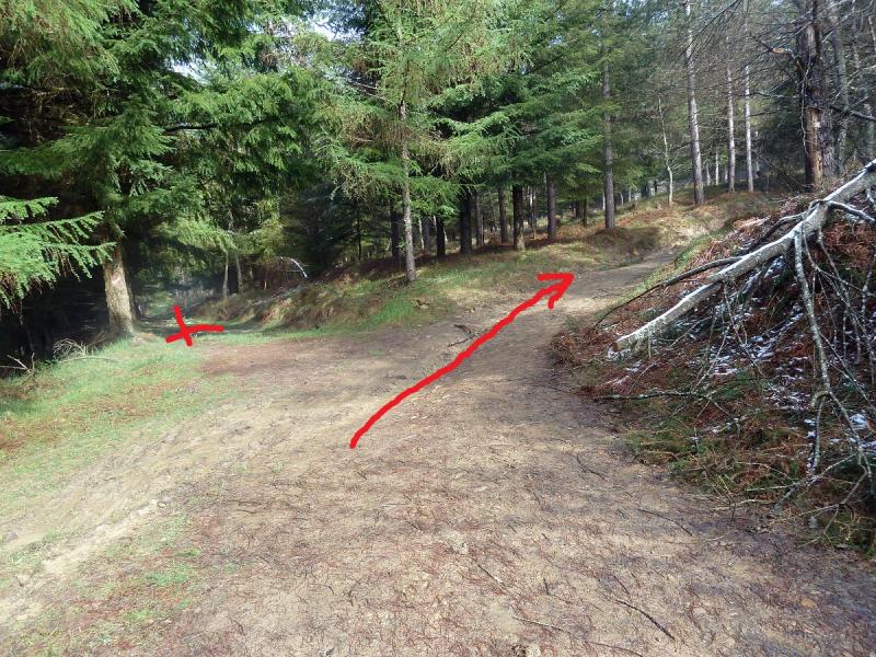
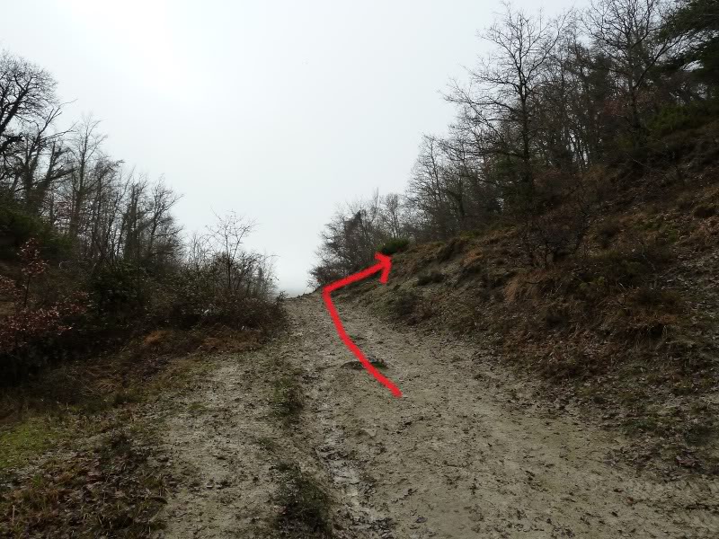
Llegados al aparcamiento retrocedemos unos metros hasta tomar la pista con letrero hacia Altube. En seguida hay una bifurcación,nos vamos por la derecha,más arriba otra y nos vamos por la izquierda pero aquí hay que volver después de subir a la cima de Txintxularra. Seguimos hacia Altube y un pequeño letrero nos indica que por la izquierda vamos a Txintxularra. Llegados a la cima hacemos una parada para almorzar Desde eta cima se ve la sierra Salbada pero hoy nada las nieblas lo tapaban todo.

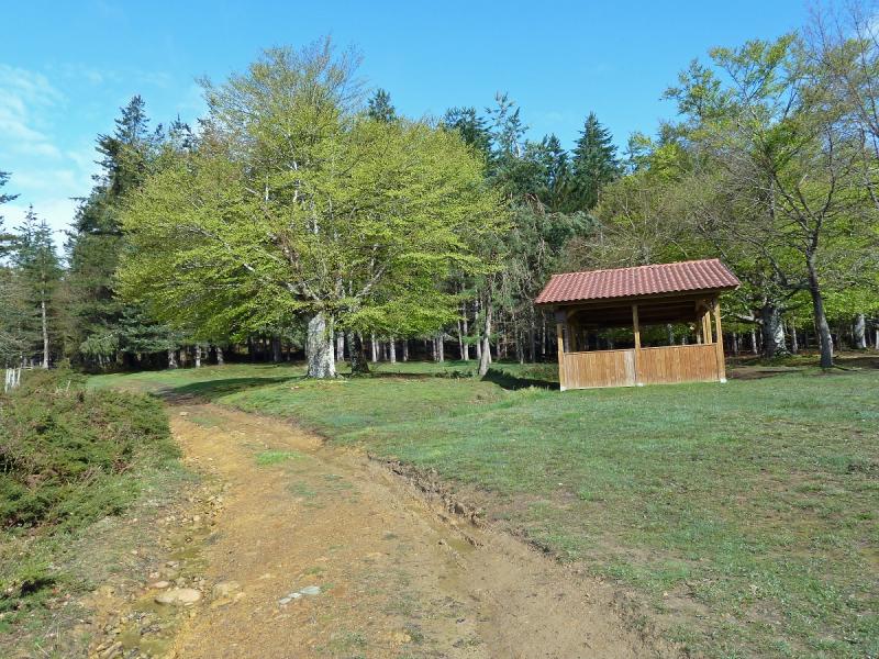
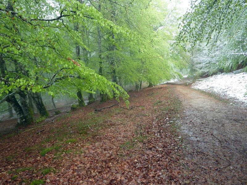
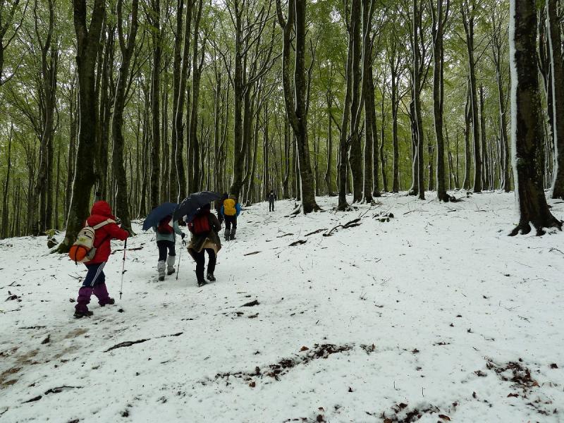
Regresamos a la bifurcación y tomamos la pista entre el hayedo, más adelante otro letrero nos indica por donde subir a la cima de Astaiz y llegados a ella,seguimos por el hayedo y el camino nos baja a la pista.Continuamos por la pista y llegamos donde otro poste indicador a la izquierd aque nos dice que estamos a tiro de piedra de la Burbona occidental y a ella subimos.

Continuamos por el hayedo y nos bajamos a la pista y enseguida llegamos a la Burbona Centrla y de aquí pasando una alambrada salimos a la pista donde más adelante un hito a la izquierda con un pequeño letrero indica a la Burbona Oriental,desde esta cima se vuelve por el mismo camino a la pista y en descenso llegamos a la pista principal de parque dond ebaja el río Bayas,aquí hacemos una parada para comer. Ahora no hay más que seguir la pista unos 3 y pico kilómetros y llegamos al aparcamiento.

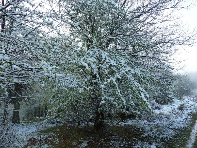
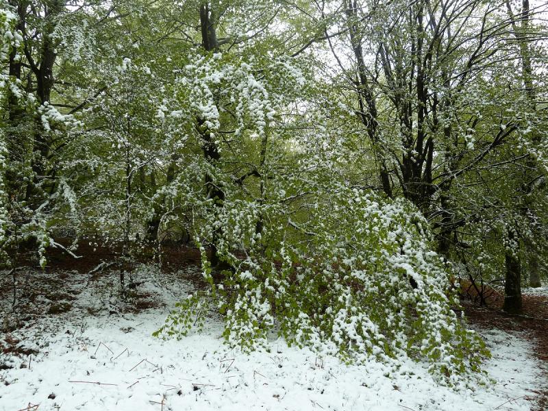
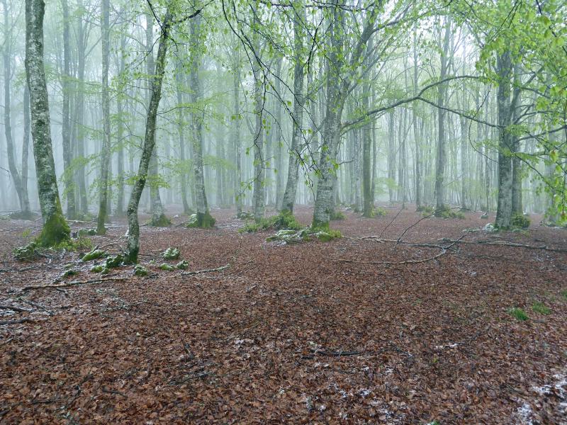
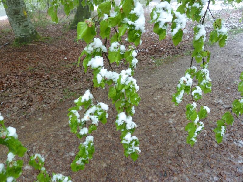
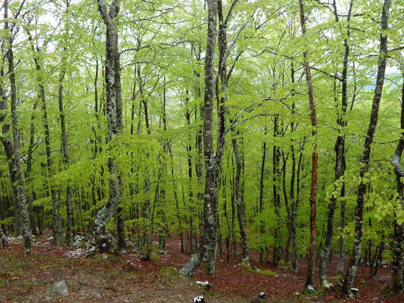
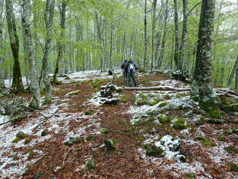
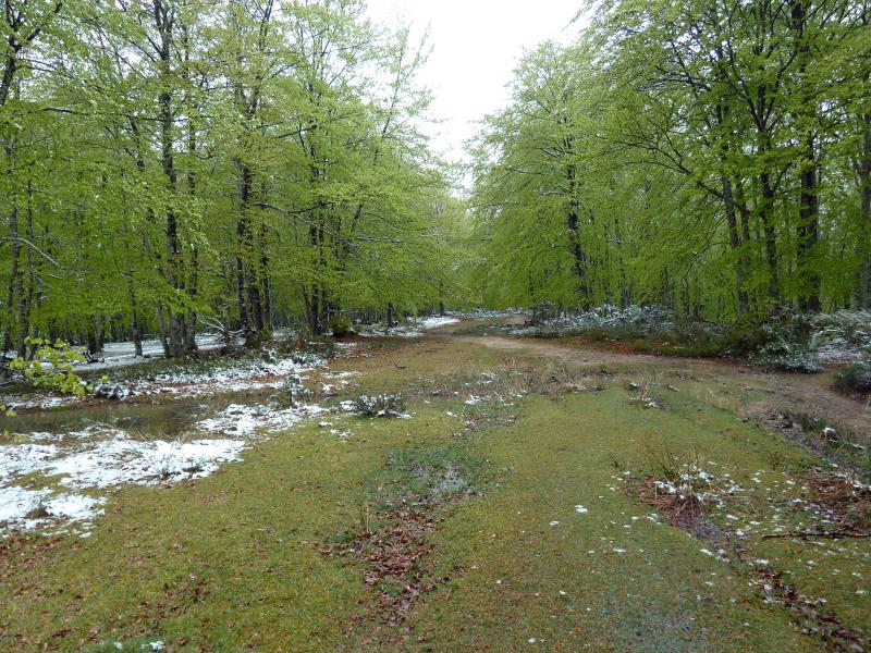
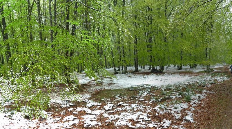
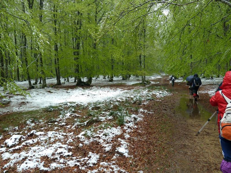
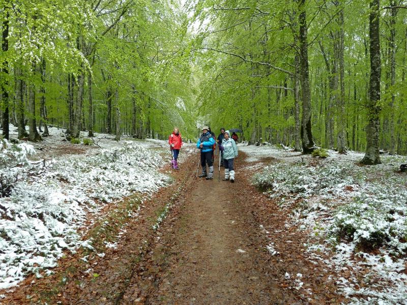
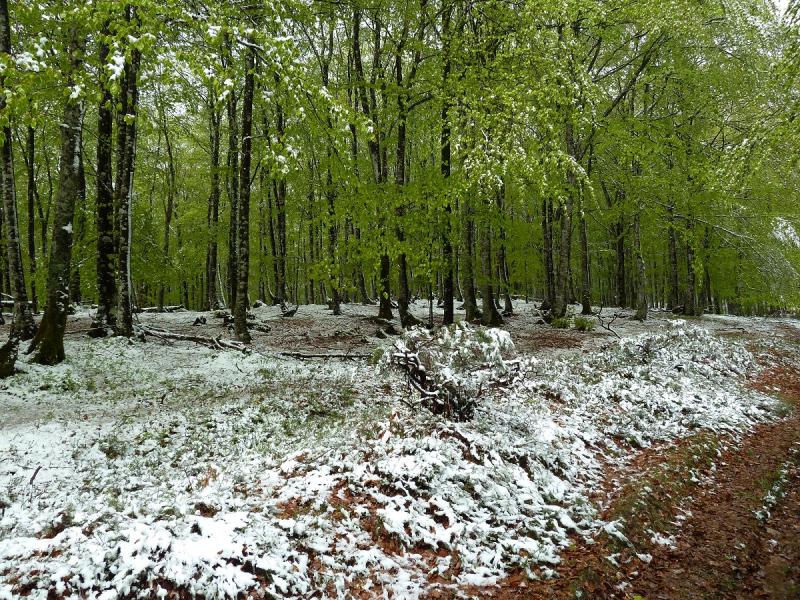
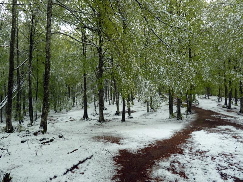
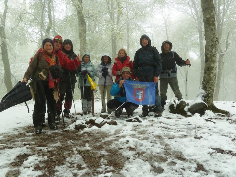
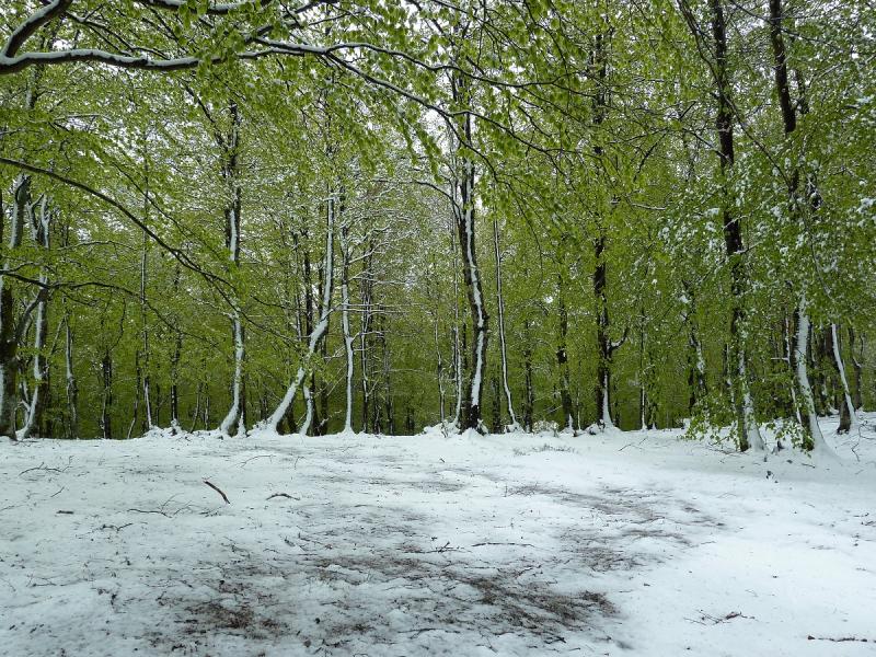
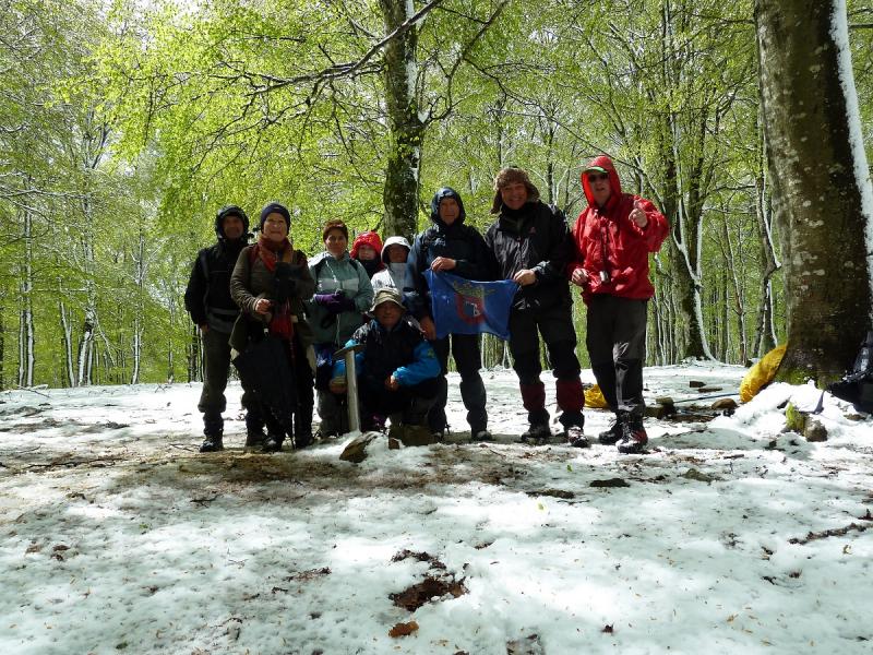
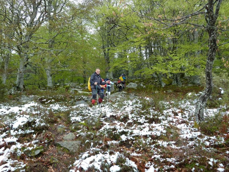
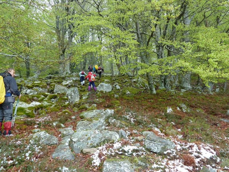
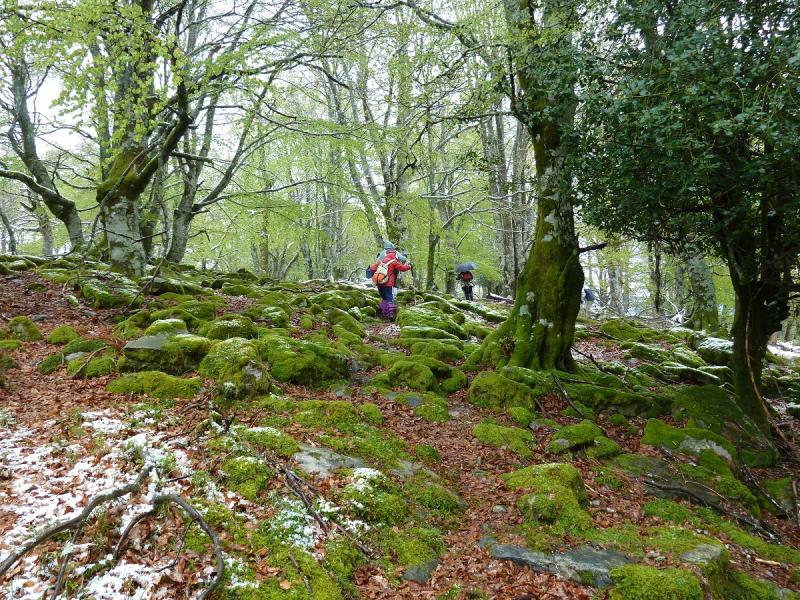
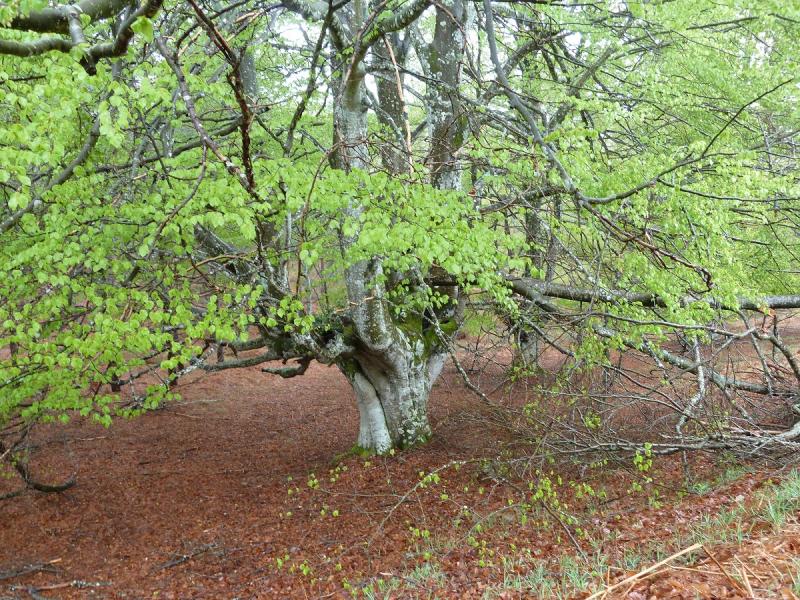
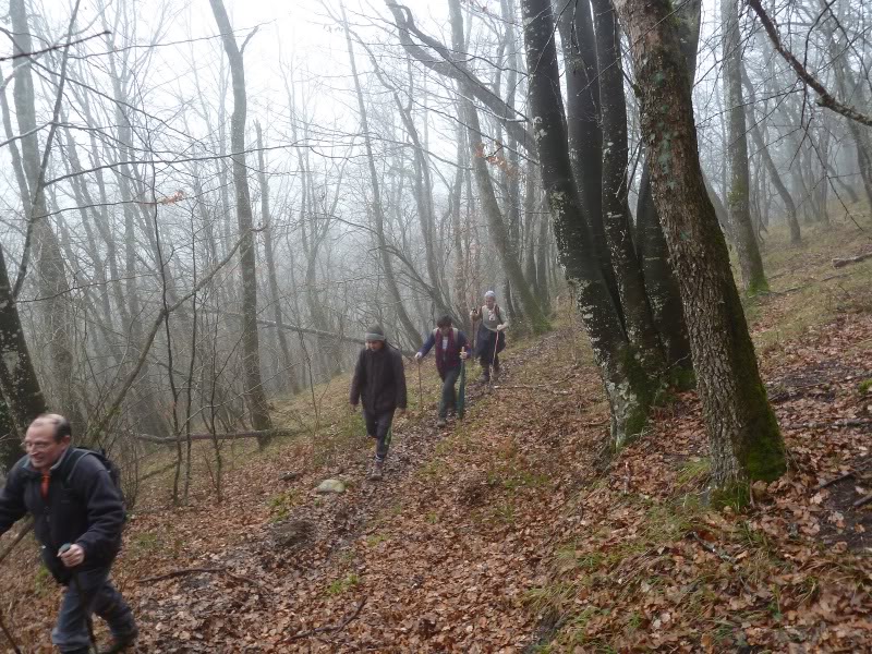
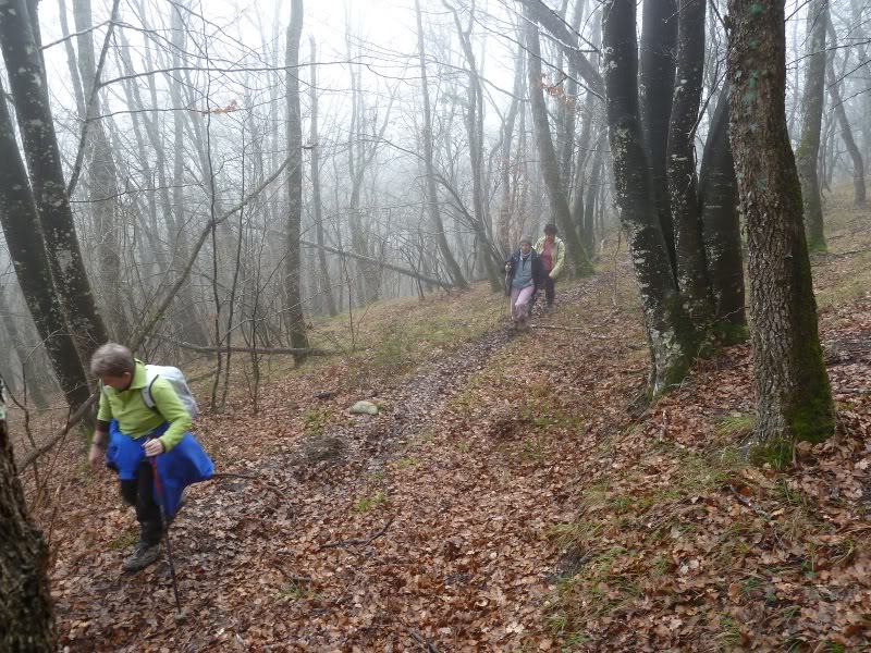
Decir que estas cimas no ofrecen vistas al estar entre hayedos pero el caminar por ellos como lo hemos hecho hoy todo verde y el suelo blanco,una maravilla.

El Trak
Pinchar para ver
SI NO SE VEN LAS FOTOS PINCHAR AQUÍ

En el aparcamiento.
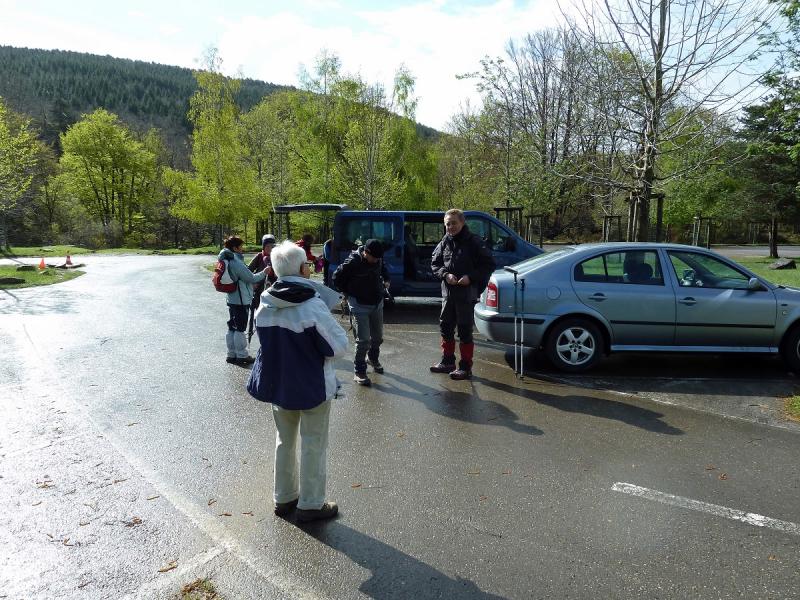
Photo Sharing and Video Hosting at Photobucket

Photo Sharing and Video Hosting at Photobucket

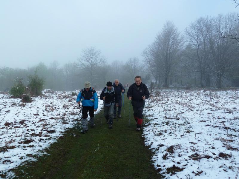
Aquí empieza el sendero hacia Altube.
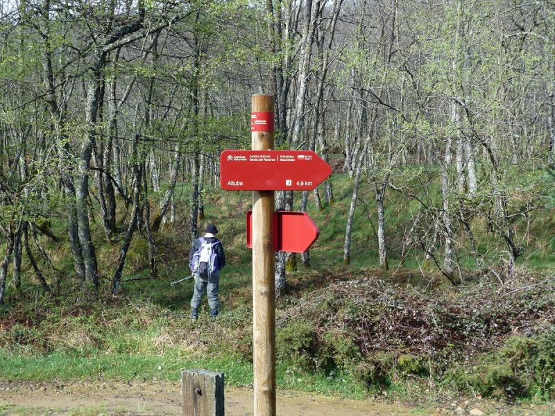
Photo Sharing and Video Hosting at Photobucket

Photo Sharing and Video Hosting at Photobucket

Photo Sharing and Video Hosting at Photobucket

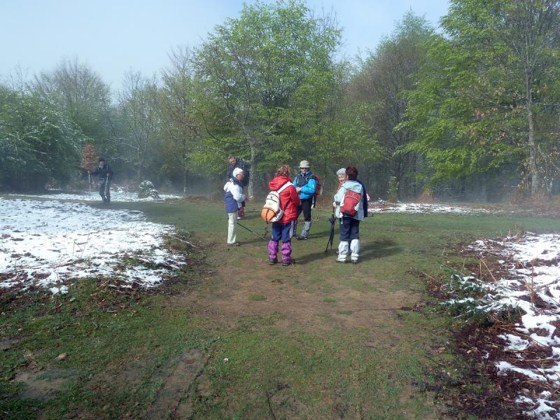
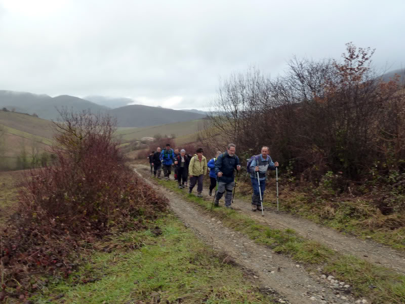
Aquí los colegas.
Photo Sharing and Video Hosting at Photobucket

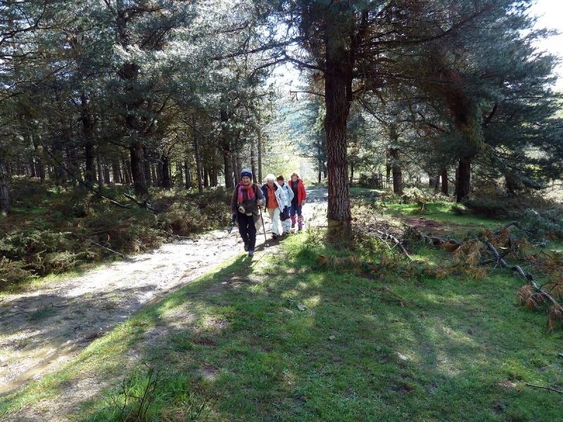
Aquí las damas.
Photo Sharing and Video Hosting at Photobucket

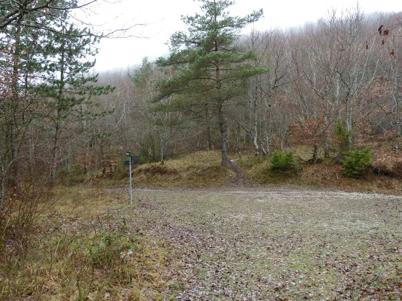
Bifurcación.
Photo Sharing and Video Hosting at Photobucket

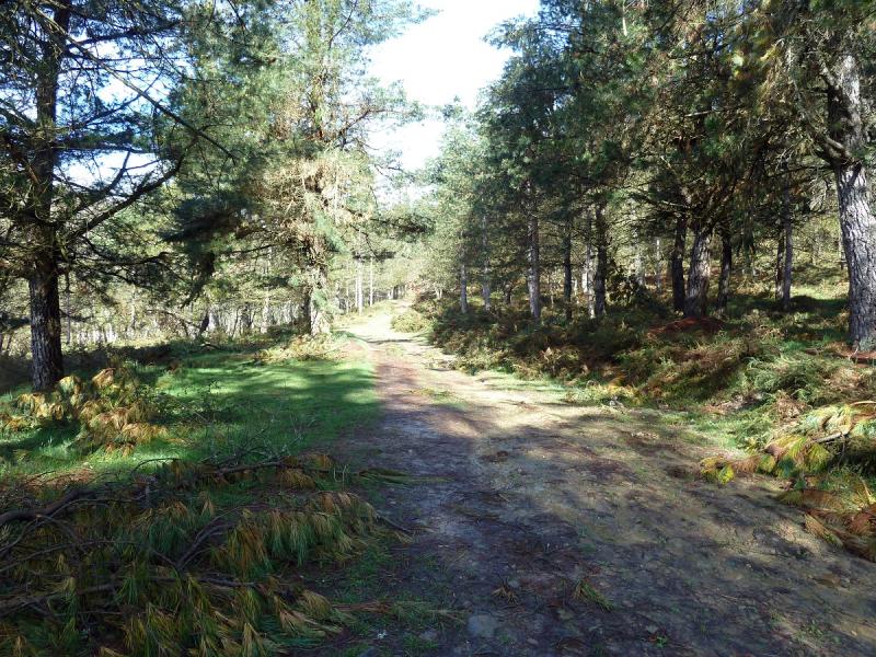
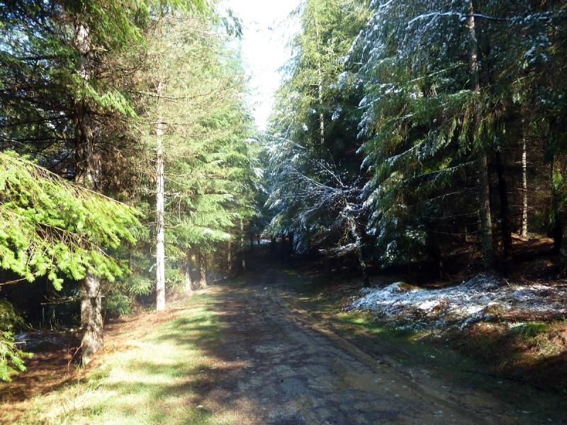
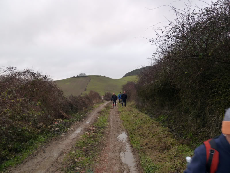
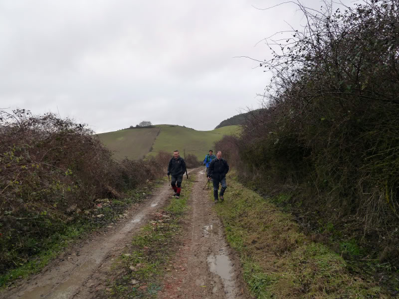
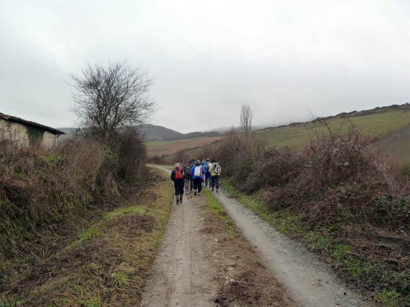
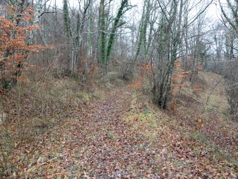
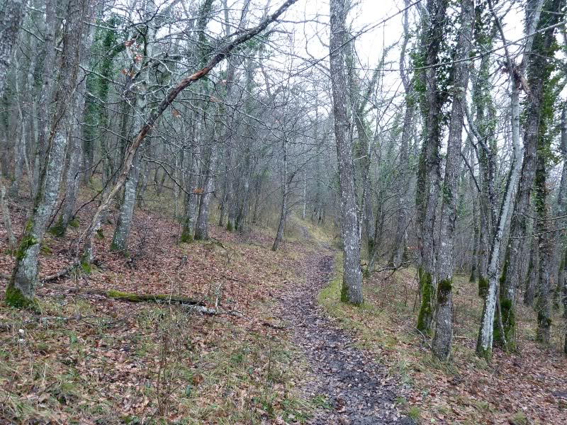
El sendero.
Photo Sharing and Video Hosting at Photobucket

Vamos hacia Txintxularra.
Photo Sharing and Video Hosting at Photobucket

Photo Sharing and Video Hosting at Photobucket

Aquí un letrero nos indica a Txintxularra.
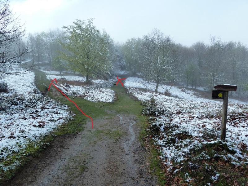
Photo Sharing and Video Hosting at Photobucket

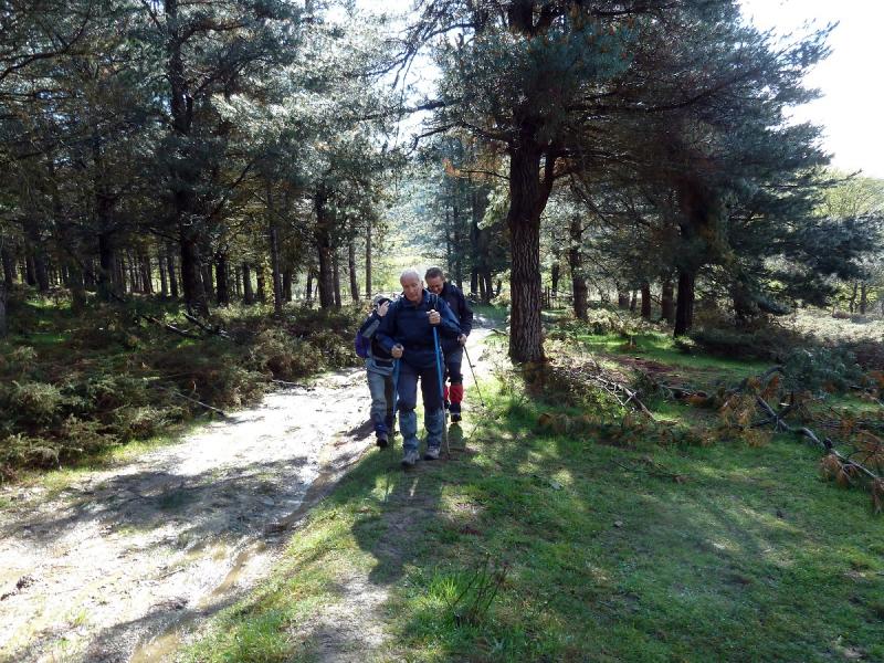
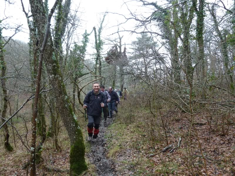
Vamos contentos.
Photo Sharing and Video Hosting at Photobucket


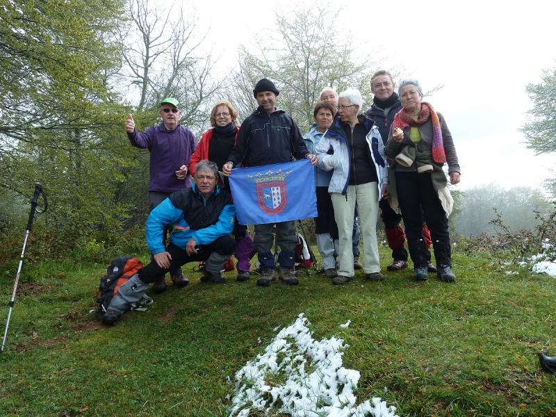
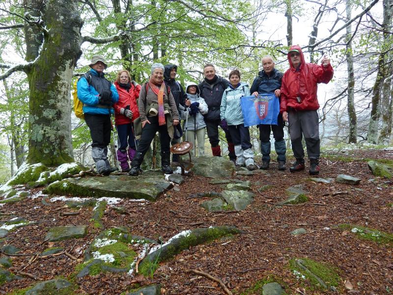
En la cima de Txintxularra.
Photo Sharing and Video Hosting at Photobucket

Regresamos a la bifurcación.
Photo Sharing and Video Hosting at Photobucket

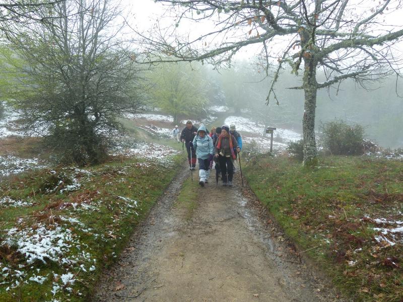
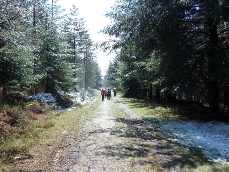
Ahora ya por la pista.
Photo Sharing and Video Hosting at Photobucket

Photo Sharing and Video Hosting at Photobucket

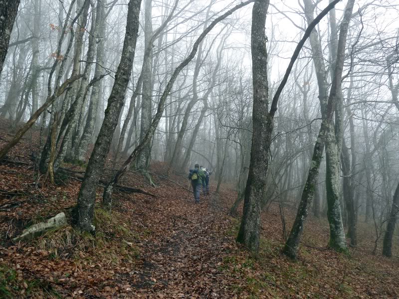
El hayedo.
Photo Sharing and Video Hosting at Photobucket

Photo Sharing and Video Hosting at Photobucket


Dejamos la pista y por la derecha con letrero indicador,subimos a la cima de Astaiz.
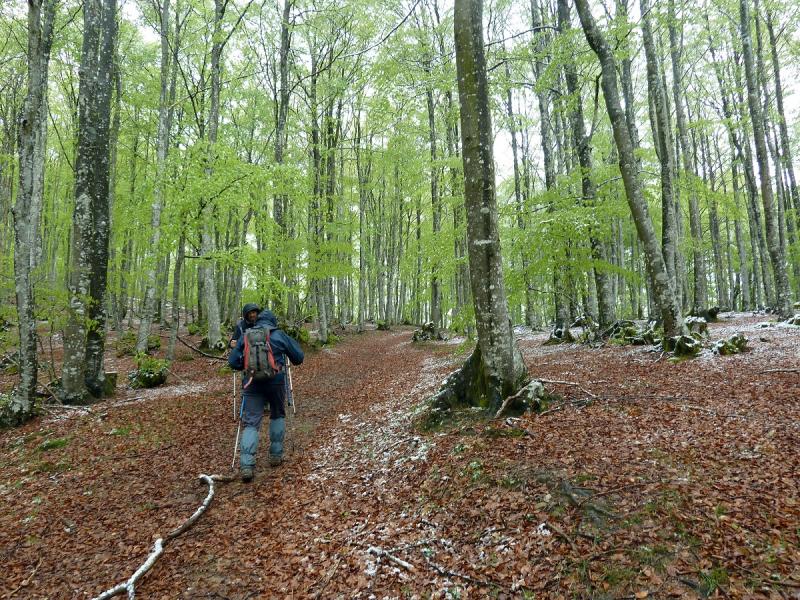
Photo Sharing and Video Hosting at Photobucket

Photo Sharing and Video Hosting at Photobucket

Llegando.
Photo Sharing and Video Hosting at Photobucket

En la cima de Astaiz viendo el buzón.
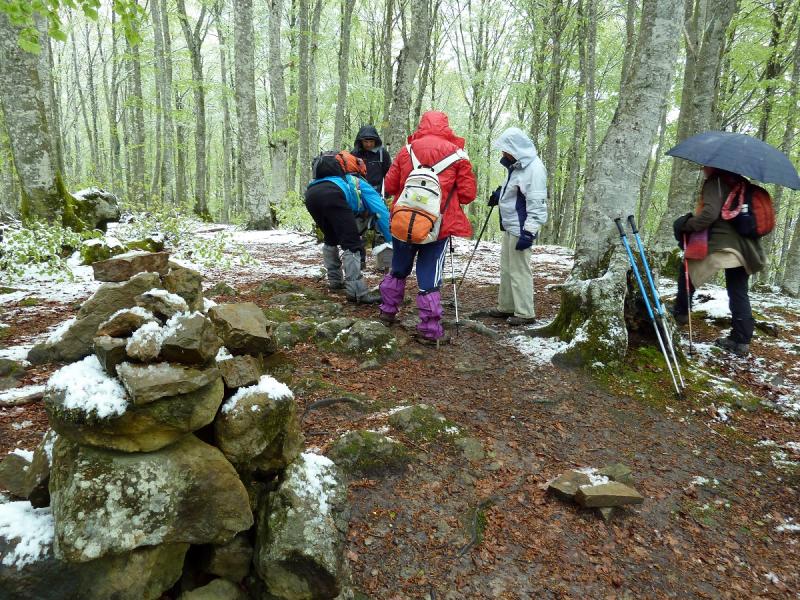
Photo Sharing and Video Hosting at Photobucket

Continuamos.
Photo Sharing and Video Hosting at Photobucket

Photo Sharing and Video Hosting at Photobucket


Photo Sharing and Video Hosting at Photobucket

Photo Sharing and Video Hosting at Photobucket

Photo Sharing and Video Hosting at Photobucket

Photo Sharing and Video Hosting at Photobucket

Photo Sharing and Video Hosting at Photobucket

De aquí por la izquierda se sube a la Burbona Occidental.
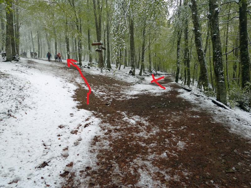
Photo Sharing and Video Hosting at Photobucket

En la cima.
Photo Sharing and Video Hosting at Photobucket

Continuamos.
Photo Sharing and Video Hosting at Photobucket

Photo Sharing and Video Hosting at Photobucket

Llegamos a la Burbona Central.
Photo Sharing and Video Hosting at Photobucket

Vamos a por la que queda.
Photo Sharing and Video Hosting at Photobucket

Aquí el hito que señala el camino a la Burbona Oriental.
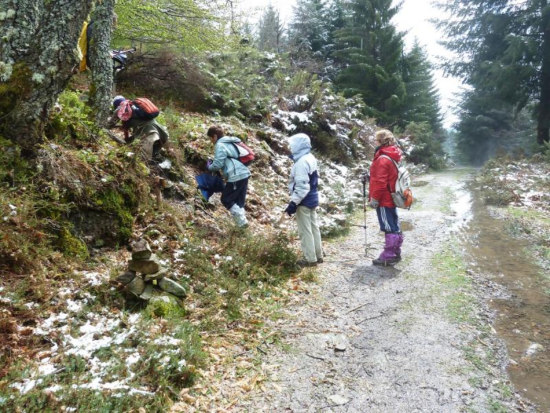
Photo Sharing and Video Hosting at Photobucket

El camino es muy bonito.
Photo Sharing and Video Hosting at Photobucket

Photo Sharing and Video Hosting at Photobucket

Photo Sharing and Video Hosting at Photobucket

En la cima.
Photo Sharing and Video Hosting at Photobucket

Vamos hacia el aparcamiento.
Photo Sharing and Video Hosting at Photobucket

Photo Sharing and Video Hosting at Photobucket

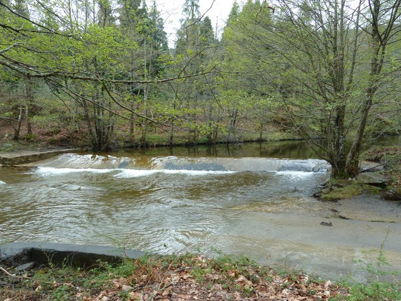
El río Bayas.
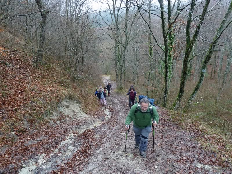
Photo Sharing and Video Hosting at Photobucket

ARRANOMENDI 812 M

Domingo 02-01-2010
Hola amigos.

Hoy tocaba salida del calendario montañero de Los Amigos de la Montaña de Berriozar.
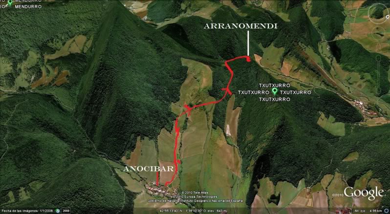
Nos hemos trasladado a la localidad de Anocibar en el valle de Odieta para ascender a la cima de Arranomendi. (Monte del Aguila)
.
ACCESO.

ITINERARIO.
ANOCIBAR 510 M
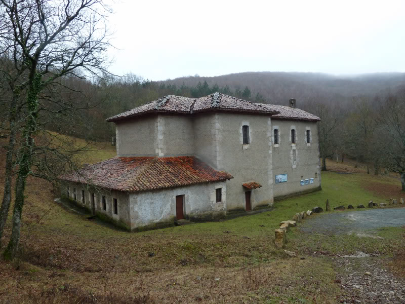
ERMITA DE SAN URBANO 630 M
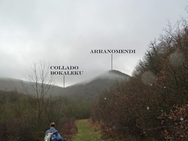
COLLADO BOKALEKU 730 M
ARRANOMENDI 812 M
DESNIVEL ACUMULADO 420 M
TIEMPO I-V 3 HORAS

DESCRIPCIÓN.
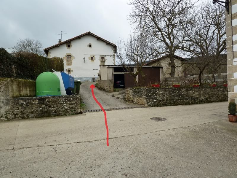
Entramos en el pueblo de Anocibar y aparcamos en el centro del pueblo.
Subimos a la carretera que continua hacia Anoz, la cruzamos y, tomamos una pista con poste anunciador hacia San Urbano.

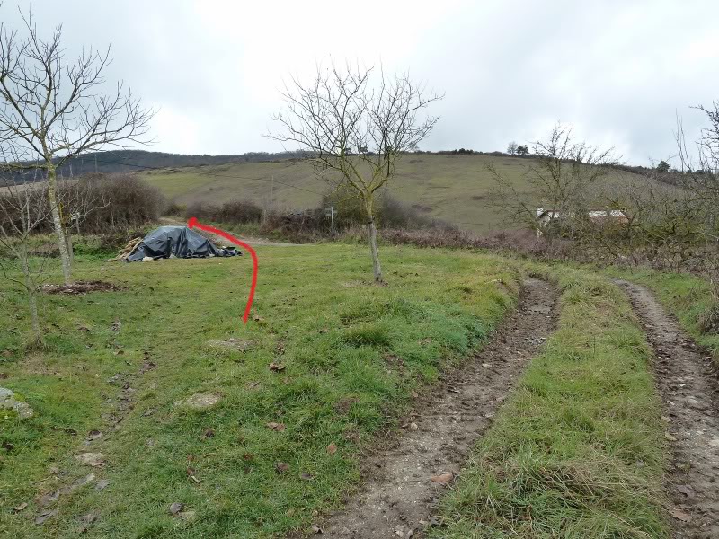
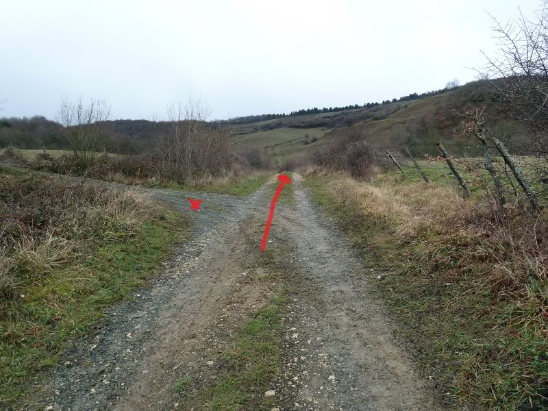
Seguimos la pista hasta una barrera metálica donde por la derecha en ascenso cruzando unos prados, salir a otra pista que en ascenso nos conduce hasta un rellano donde sube otra pista desde Ciaurriz.

Ahora bajamos hacia la ermita de San Urbano donde una pista llega desde Gascue. Este santo es abogado de los Lisiados y Reumáticos.

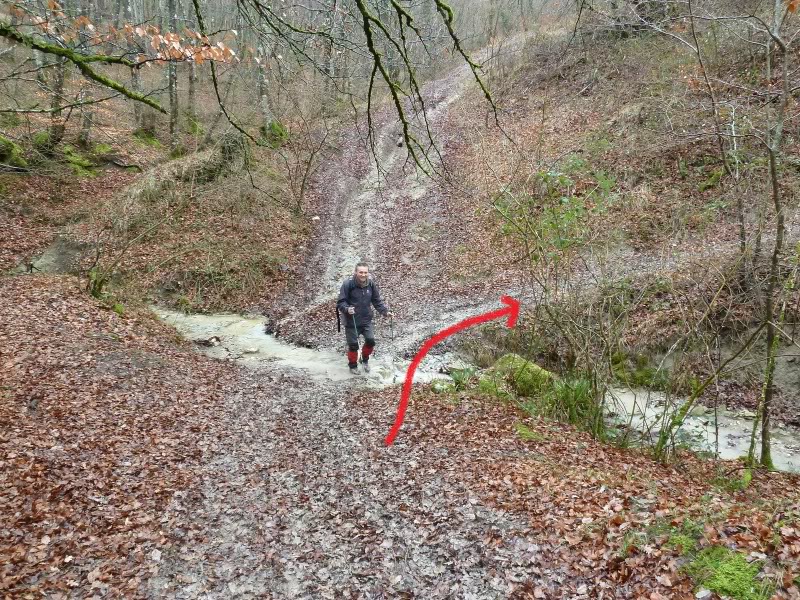
A la izquierda de la ermita nace una pista que enseguida llega donde un paso canadiense y cruza una regata y para arriba llegamos al collado Bokaleku.

Del collado por la derecha pasamos por una peculiar palomera que tiene un artilugio para subir a ella. Seguimos la senda por el bosque y llegamos al lomo de la montaña y enseguida con la alambrada a nuestra derecha, llegamos a la cima.

No hemos podido ver nada debido a las nieblas y nos hemos bajado a la ermita a tomar el hamaiketako.

Hemos regresado a casa para la hora de comer habiendo pasado una estupenda mañana en compañía de los amigos.
SI NO SE VEN LAS FOTOS PINCHAR AQUÍ

Croquis del itinerario.
Photo Sharing and Video Hosting at Photobucket

Del aparcamiento vamos por ahí.
Photo Sharing and Video Hosting at Photobucket

Cruzamos la carretera y tomamos la pista hacia San Urbano.
Photo Sharing and Video Hosting at Photobucket

En este cruce seguimos rectos.
Photo Sharing and Video Hosting at Photobucket

Una mirada atrás.
Photo Sharing and Video Hosting at Photobucket

Empezamos con optimismo.
Photo Sharing and Video Hosting at Photobucket

Por la pista.
Photo Sharing and Video Hosting at Photobucket

Photo Sharing and Video Hosting at Photobucket

Photo Sharing and Video Hosting at Photobucket

El grupo compacto.
Photo Sharing and Video Hosting at Photobucket

Dejamos la pista y cruzamos unos campos.
Photo Sharing and Video Hosting at Photobucket

Nos encontramos a estos amigos.
Photo Sharing and Video Hosting at Photobucket

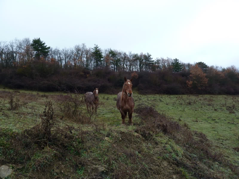
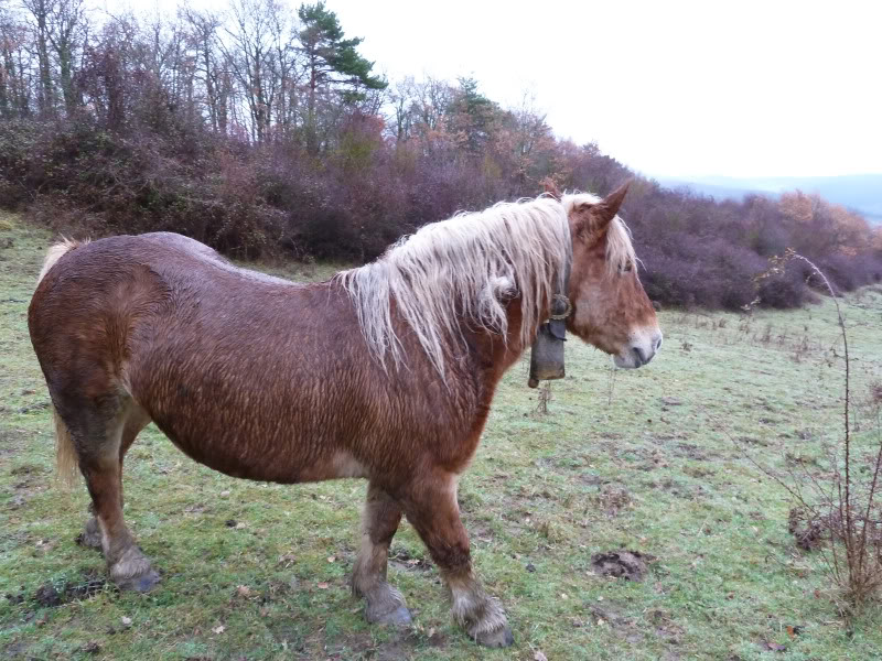
Y nos topamos con esta rubia.
Photo Sharing and Video Hosting at Photobucket

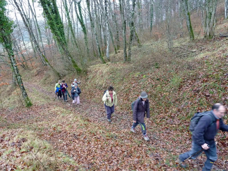
El sendero.
Photo Sharing and Video Hosting at Photobucket

Photo Sharing and Video Hosting at Photobucket

Llegamos donde viene la pista desde Ciaurriz.
Photo Sharing and Video Hosting at Photobucket

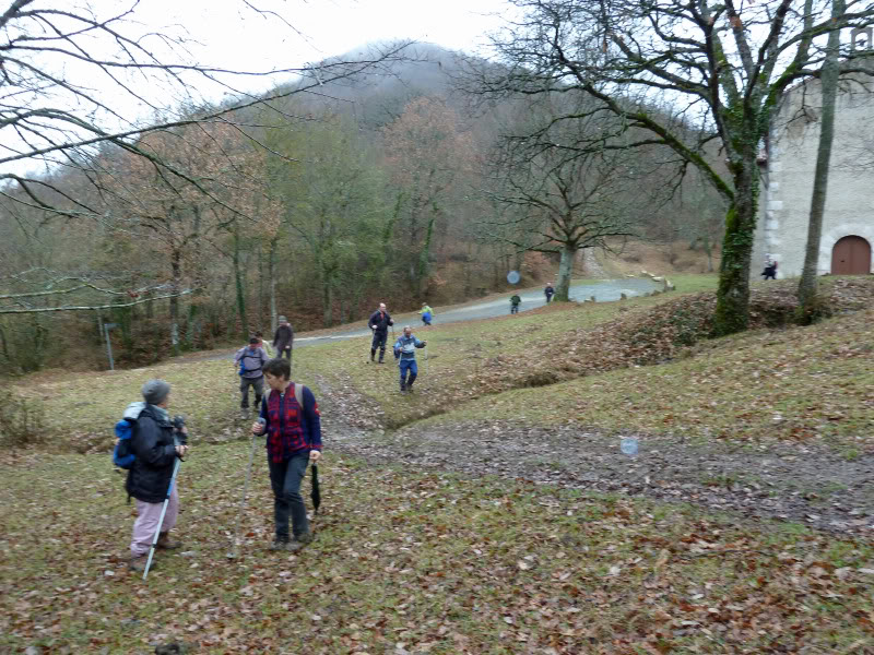
Bajamos hacia la ermita de San Urbano.
Photo Sharing and Video Hosting at Photobucket

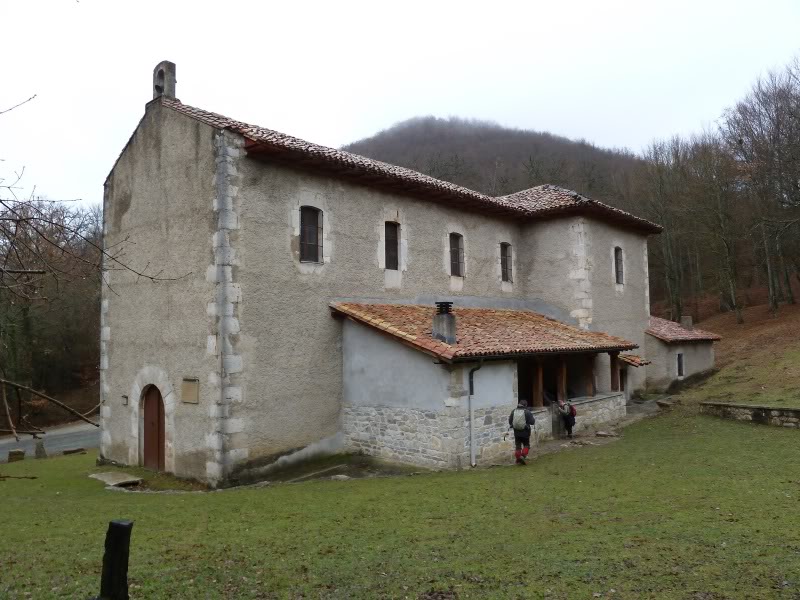
Ermita de San Urbano.
Photo Sharing and Video Hosting at Photobucket

Ahora tomamos esta pista.
Photo Sharing and Video Hosting at Photobucket

Se cruza esta regata.
Photo Sharing and Video Hosting at Photobucket

Y ahora para arriba.
Photo Sharing and Video Hosting at Photobucket

Llegamos al collado Bokaleku y nos vamos por la derecha en ascenso.
Photo Sharing and Video Hosting at Photobucket

El sendero hacia la cima.
Photo Sharing and Video Hosting at Photobucket

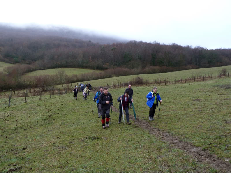
Con alegría
Photo Sharing and Video Hosting at Photobucket

Photo Sharing and Video Hosting at Photobucket

Photo Sharing and Video Hosting at Photobucket

Photo Sharing and Video Hosting at Photobucket

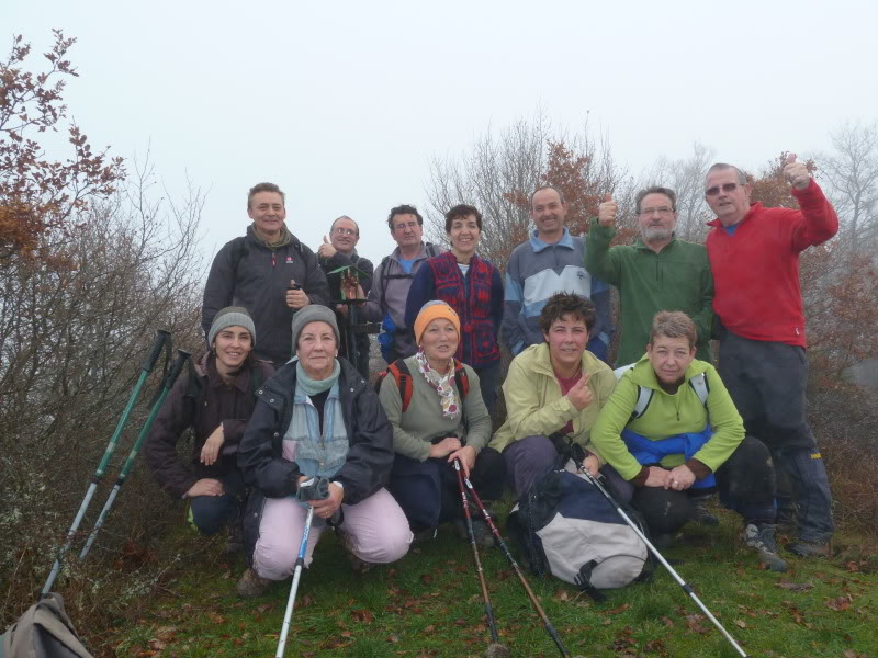
El grupo en la cima.
Photo Sharing and Video Hosting at Photobucket

Bajamos al cubierto que hay en la ermita.
Photo Sharing and Video Hosting at Photobucket

Hamaiketako.
Photo Sharing and Video Hosting at Photobucket

Photo Sharing and Video Hosting at Photobucket