miércoles, 7 de septiembre de 2016

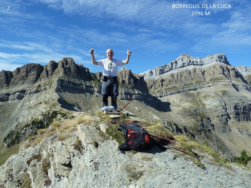
BORREGUIL DE LA CUCA 2096 M

Martes 06-09-2016
Hola amig@s.
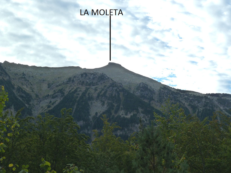
Hoy hemos marchado hasta Canfranc Estación para ascender a la cima de Borreguil de la Cuca donde estuvimos hace 5 años. Esta montaña está situada entre los barrancos de Tortiellas y Estiviellas,

ACCESO GUÍA MICHELÍN

ITINERARIO
APARCAMIENTO 1230 M, FUENTE DEL BURRO 1360 M, COLA DE CABALLO 1550 M, CIMA DE BORREGUIL DE LA CUCA 2096 M
DESNIVEL 866 M, DISTANCIA I-V 16 KM, TIEMPO TOTAL 6,38 HORAS, TIEMPO CAMINANDO 5,30 HORAS

DESCRIPCIÓN
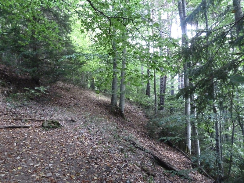
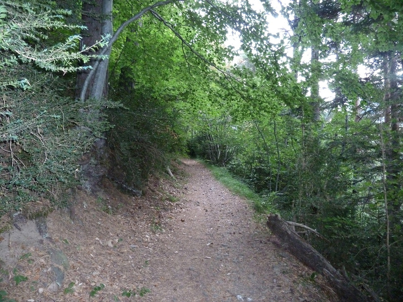
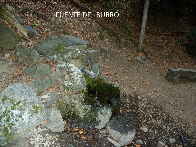
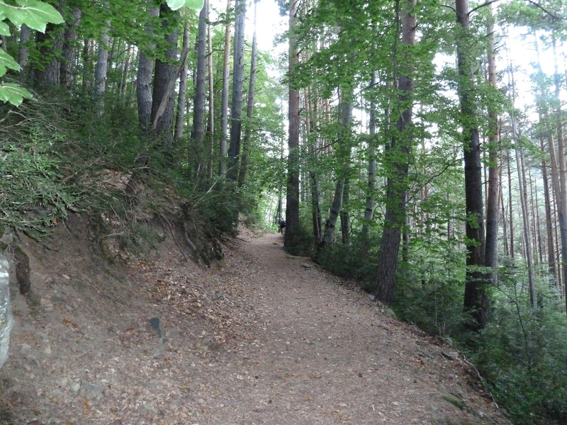
Llegados a Canfranc Estación subimos donde están las piscinas y aparcamos encima de ellas. Tomamos el sendero bien marcado que no tiene pérdida y por bosque a la sombra que viene muy bien a la bajada pasamos junto a la caseta de la falsa cúpula y llegamos donde la fuente del Burro que echa un hilo de agua. Ahora continuamos dando lazadas en el sendero que hay en total 120 hasta el cdo de Estivielleas y llegamos donde la cola de caballo que está seca.

Seguimos dando lazadas en el sendero y llegamos al cdo de Estiviellas y por la derecha a la cima. Hace un día muy bueno y disfrutamos de las vistas que ofrece la montaña y después de estar un buen rato en la cima regresamos y en Canfranc Estación comemos en un restaurante. Después de comer he llevado a mis amigos a el Puerto de Somport donde van a empezar la ruta Aragonesa del camino de Santiago y he regresado a casa habiendo disfrutado de un buen día de montaña. Hoy nos ha acompañado el amigo Tomás.


EL TRAK PINCHAR PARA VER

SI NO SE VEN LAS FOTOS PINCHAR AQUÍ

Cabaña de la falsa Cúpula.
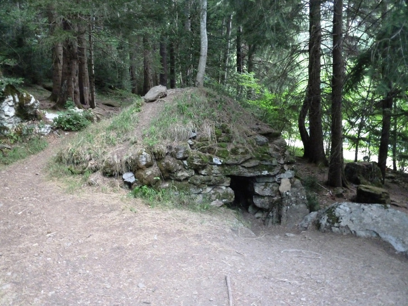
Photo Sharing and Video Hosting at Photobucket

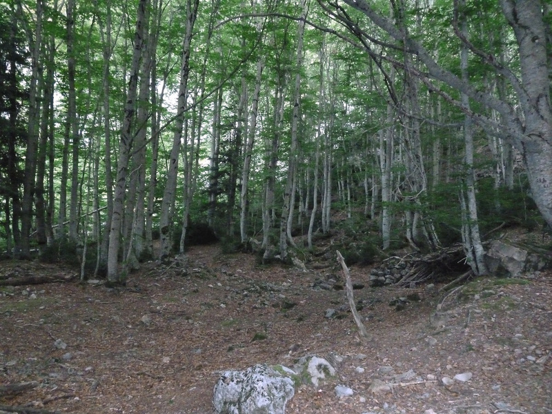
El sendero en el bosque.
Photo Sharing and Video Hosting at Photobucket

Photo Sharing and Video Hosting at Photobucket

Llegamos ala fuente del Burro.
Photo Sharing and Video Hosting at Photobucket

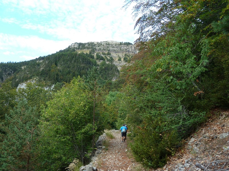
Continua el ascenso.
Photo Sharing and Video Hosting at Photobucket

Photo Sharing and Video Hosting at Photobucket

Photo Sharing and Video Hosting at Photobucket

Mirada.
Photo Sharing and Video Hosting at Photobucket

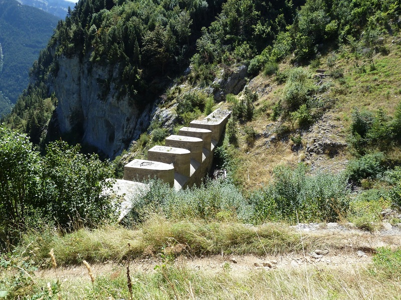
Parapeto de contención de avalanchas.
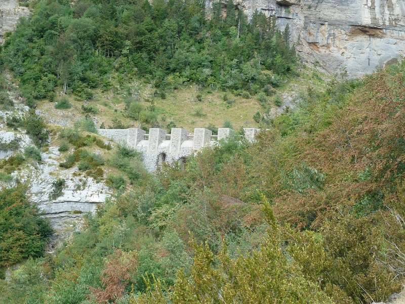
Photo Sharing and Video Hosting at Photobucket

Llegamos a la cola de caballo que está seca.
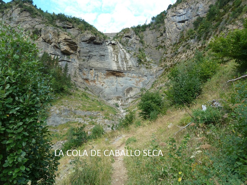
Photo Sharing and Video Hosting at Photobucket

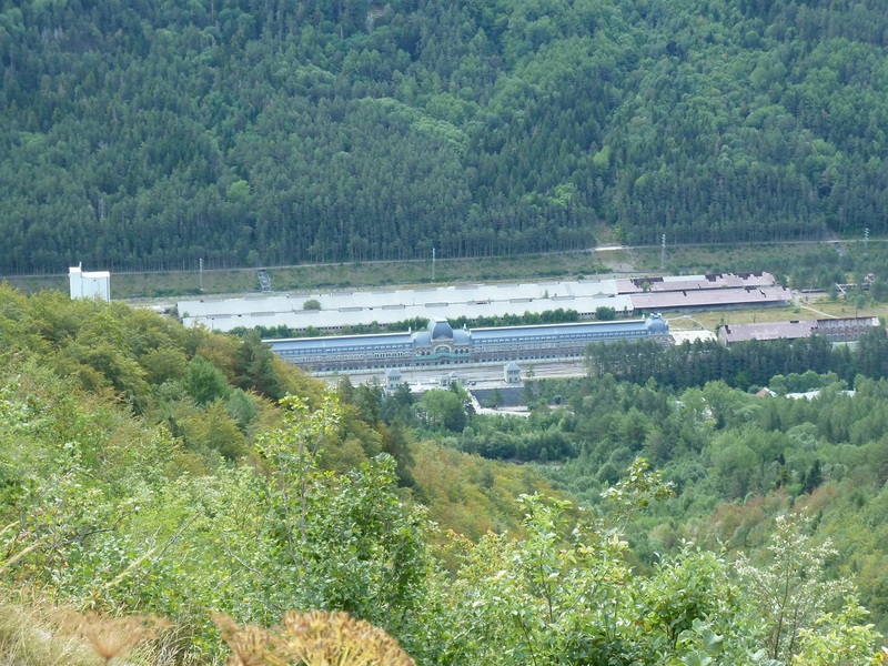
Mirada a la estación de Canfranc.
Photo Sharing and Video Hosting at Photobucket

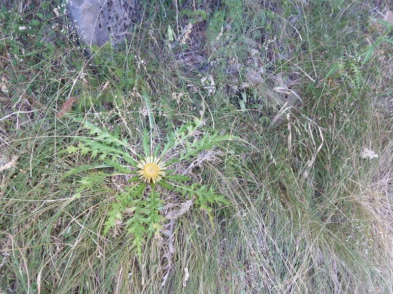
Eguzkilore.
Photo Sharing and Video Hosting at Photobucket

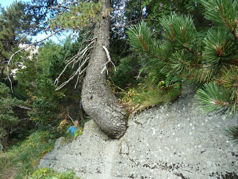
Rarezas de la naturaleza.
Photo Sharing and Video Hosting at Photobucket

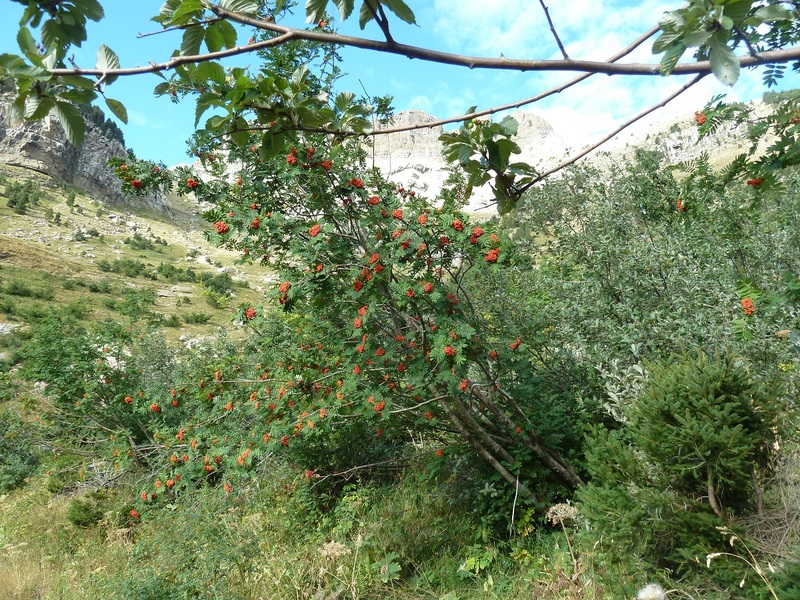
Serval de los cazadores.
Photo Sharing and Video Hosting at Photobucket

Mirada.
Photo Sharing and Video Hosting at Photobucket

Miradas.
Photo Sharing and Video Hosting at Photobucket

Photo Sharing and Video Hosting at Photobucket

Photo Sharing and Video Hosting at Photobucket

Photo Sharing and Video Hosting at Photobucket

Photo Sharing and Video Hosting at Photobucket

Photo Sharing and Video Hosting at Photobucket

Photo Sharing and Video Hosting at Photobucket

Photo Sharing and Video Hosting at Photobucket

Photo Sharing and Video Hosting at Photobucket

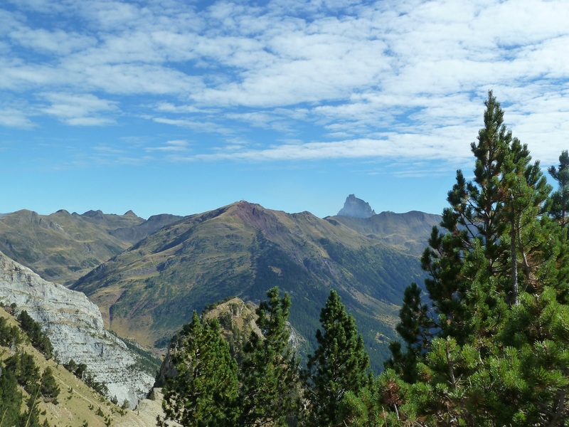
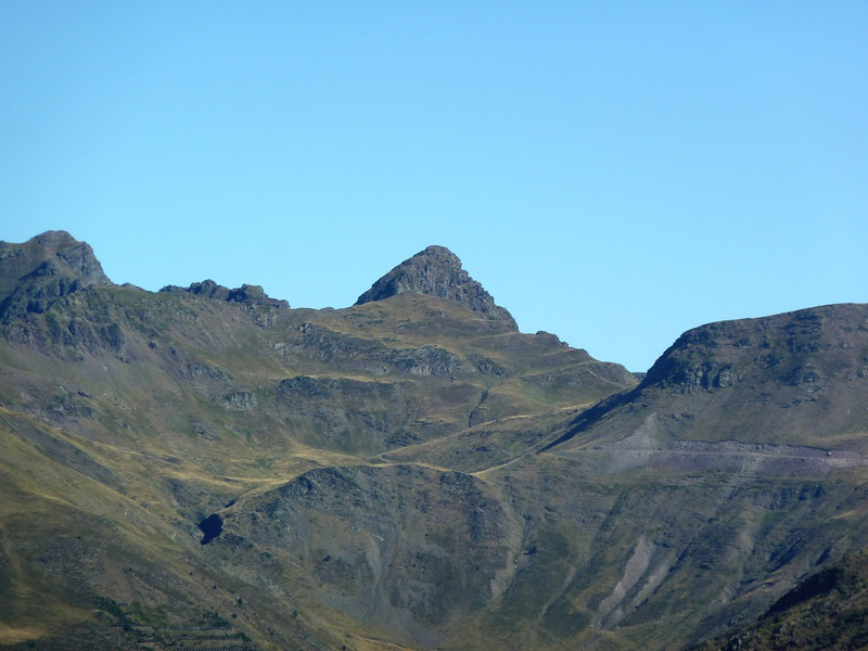
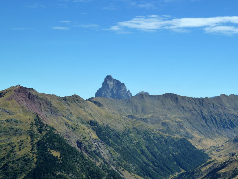
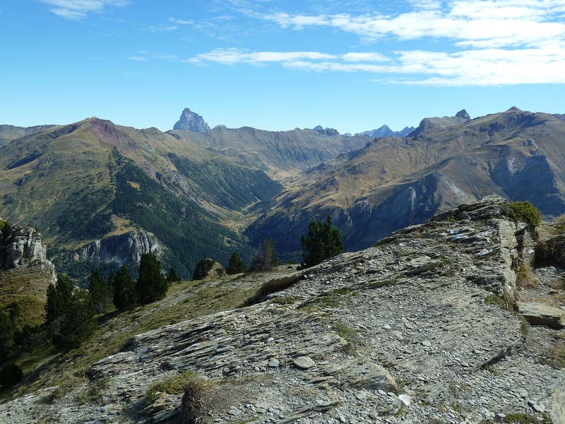
Este creo que es el Anie.
Photo Sharing and Video Hosting at Photobucket

Photo Sharing and Video Hosting at Photobucket

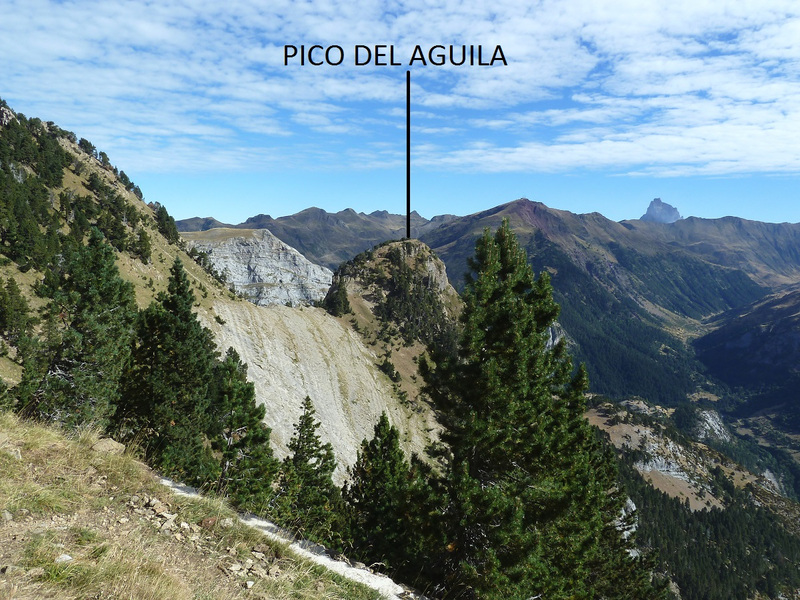
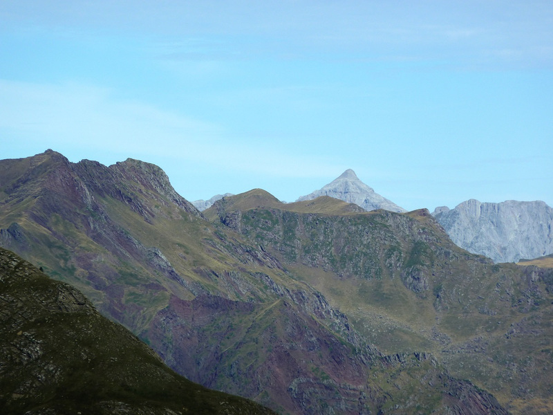
El Pico del Aguila de cerca.
Photo Sharing and Video Hosting at Photobucket

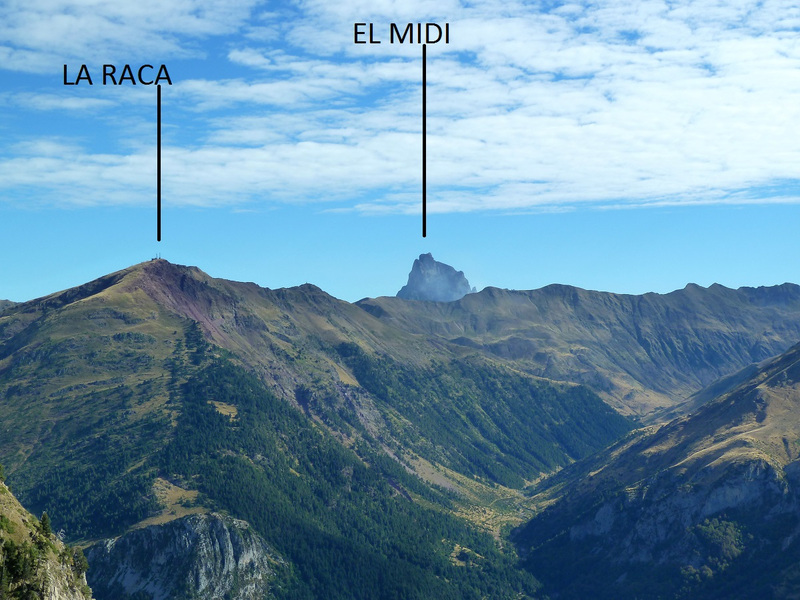
El Jefe Midi.
Photo Sharing and Video Hosting at Photobucket

Otras miradas.
Photo Sharing and Video Hosting at Photobucket

Photo Sharing and Video Hosting at Photobucket

Photo Sharing and Video Hosting at Photobucket

Photo Sharing and Video Hosting at Photobucket

Con Lucio, Juan, yTomás en la cima.
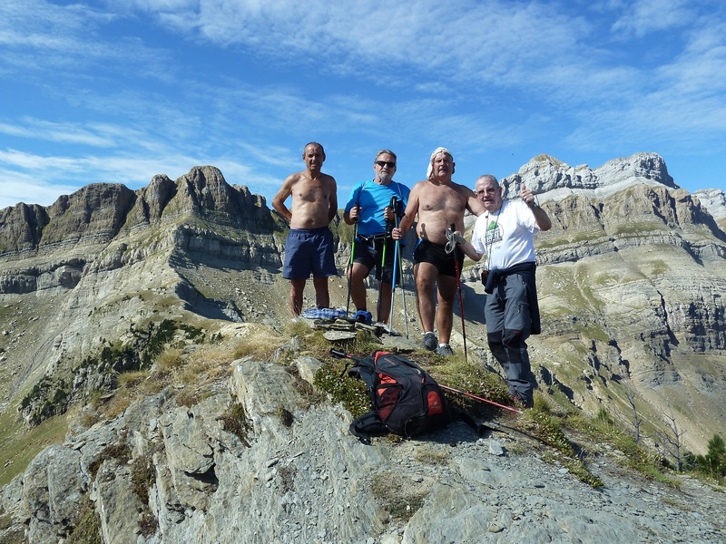
Photo Sharing and Video Hosting at Photobucket

Photo Sharing and Video Hosting at Photobucket

Vamos bajando.
Photo Sharing and Video Hosting at Photobucket

Photo Sharing and Video Hosting at Photobucket

Photo Sharing and Video Hosting at Photobucket

Photo Sharing and Video Hosting at Photobucket

Esta foto está sacada desde el puerto de Somport.
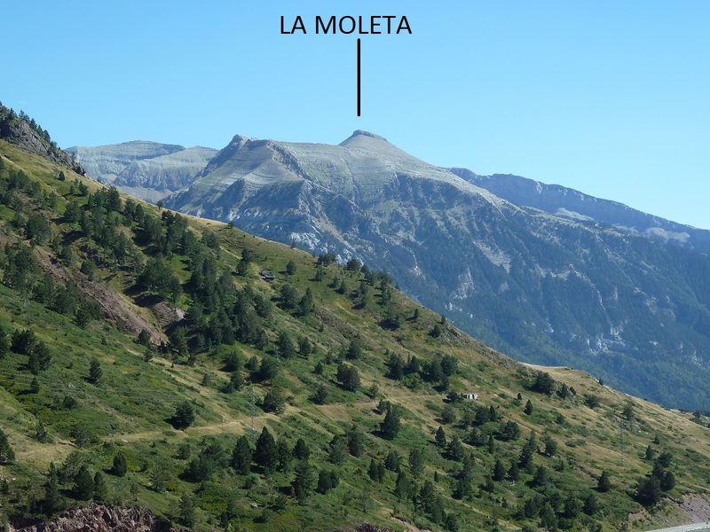
Photo Sharing and Video Hosting at Photobucket

Pongo el enlace a un pequeño vídeo.
PINCHAR PARA VER


miércoles, 31 de agosto de 2016

ARGAÑETA Y BURGA DESDE BEARTZUN

Martes 30—08—2016
Hola amig@s.

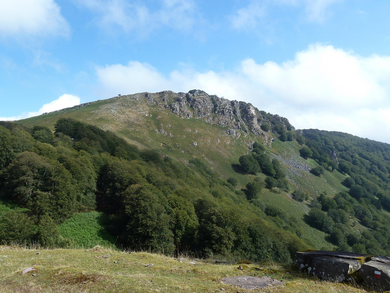
Nuestra excursión semanal hoy ha transcurrido por el Valle de Baztan hemos marchado hasta Beartzun barrio de Elizondo para ascender a las cimas de Argañeta y Burga haciendo una circular.

ACCESO GUÍA MICHELÍN

ITINERARIO
APARCAMIENTO 374 M, CDO BASABAR 668 M, DOLMEN LAMIZILO 723 M, CDO PAGOZELAY 896 M, CIMA DE ARGAÑETA 1008 M, CDO PAGOZELAY 896 M, CDO BASABAR 668 M, CIMA DE BURGA 865 M, CDO BASABAR 668 M, APARCAMIENTO 374 M. DESNIVEL ACUMULADO 800 M, DISTANCIA 19 KM, TIEMPO TOTAL 7 HORAS 52 MINUTOS, TIEMPO CAMINANDO 6 HORAS 15 MINUTOS.

DESCRIPCIÓN
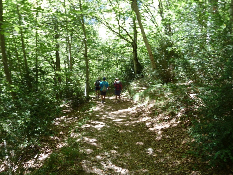
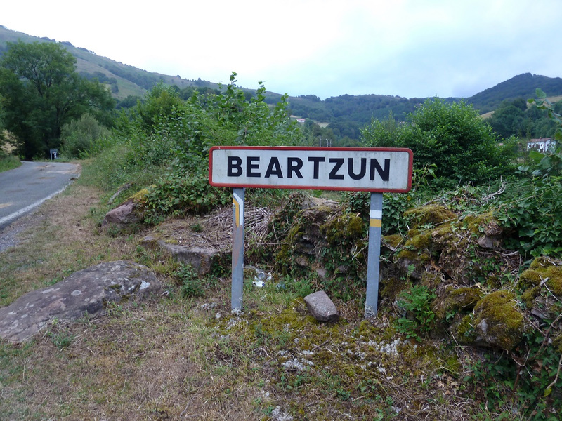
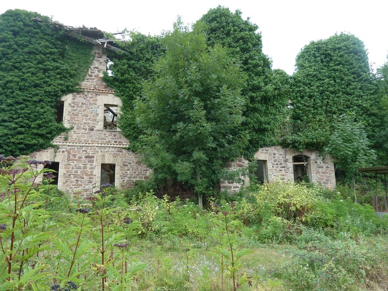
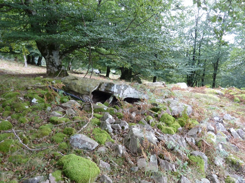
Llegados a Beartzun aparcamos junto a los contenedores de la basura donde el letrero que pone Beartzun, seguimos la carretera hasta donde por la izquierda nos vamos hacia Gamioa pasamos por una casa en ruinas que es el antiguo cuartel de la guardia civil, un poco más arriba ya tomamos el SL-NA Basabar que nos lleva al Cdo Basabar y desde el Cdo tomamos por la derecha en ascenso pasando por los Dólmenes Lamizilo y Errolan y llegamos al Cdo Pagozelay y de ahí por sendero a la cima de Argañeta.

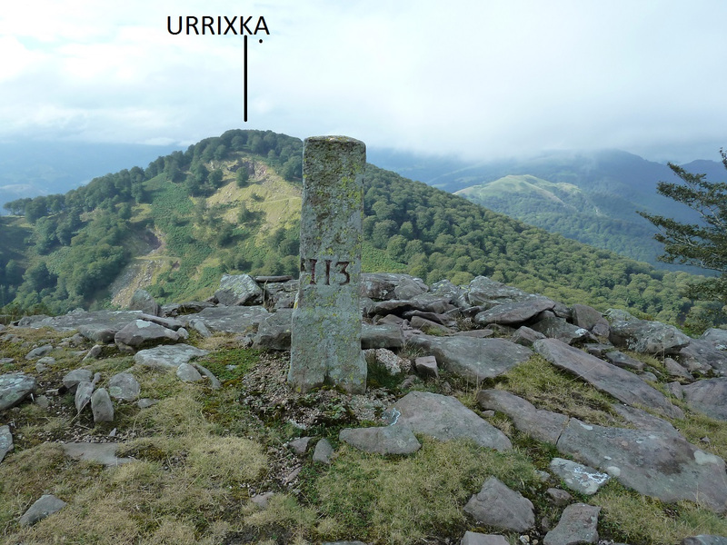
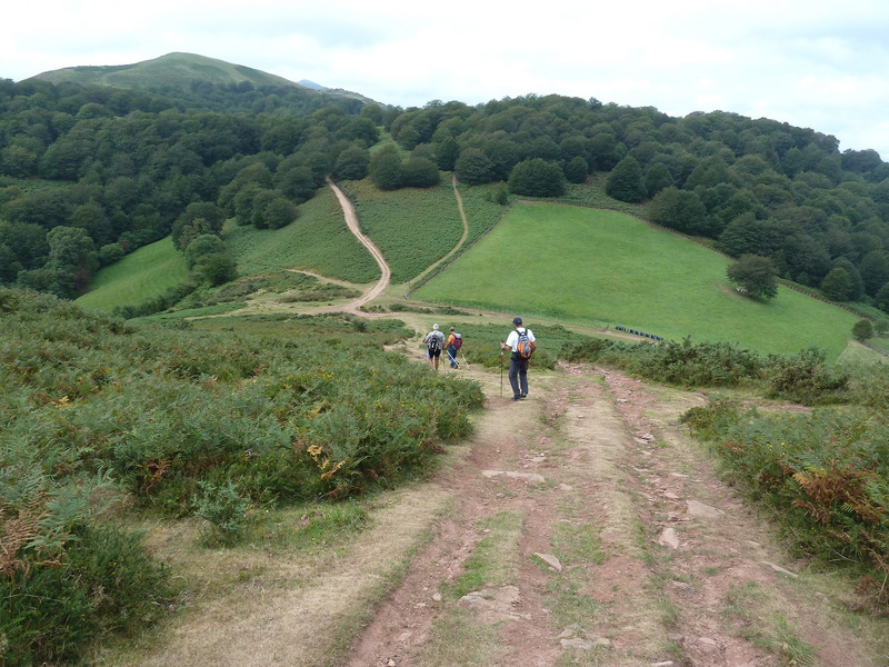
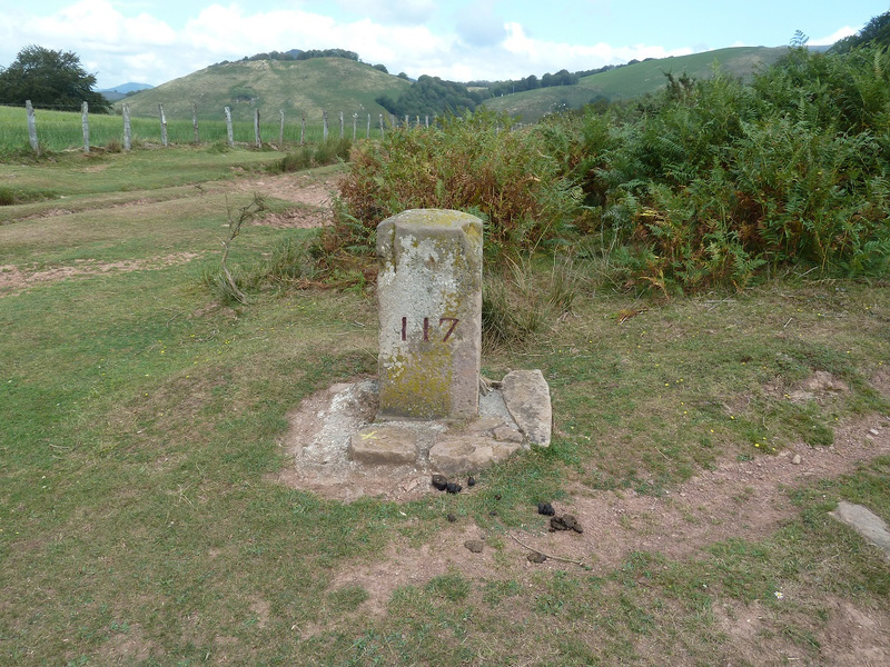
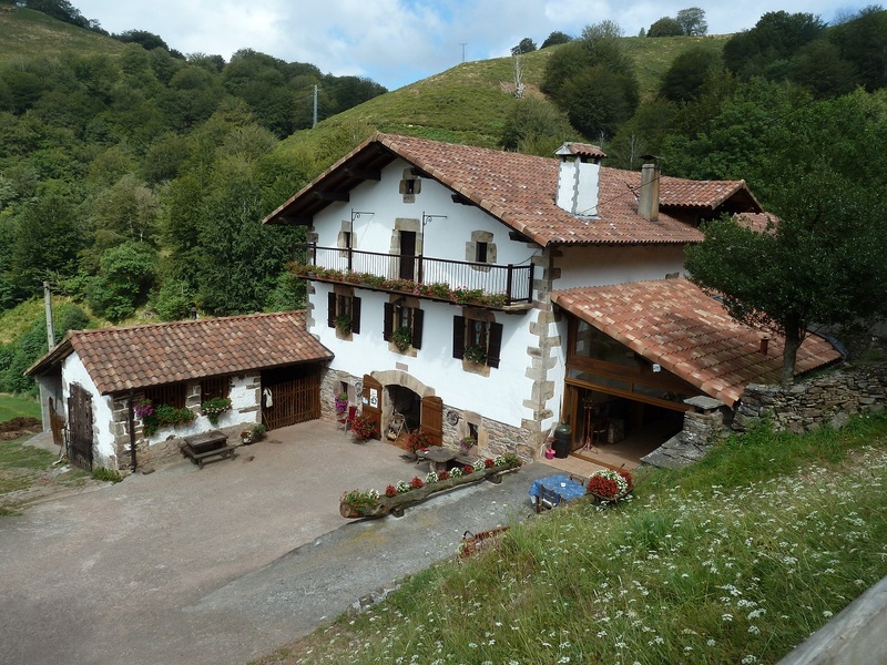
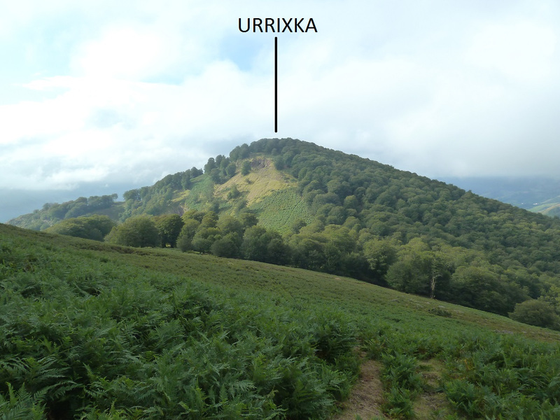
El día no está nada bueno para hacer fotos hay nubes que impiden tener buenas vistas, almorzamos en la cima de Argañeta y después de hacer la foto de rigor bajamos por el mismo camino hasta el Cdo Pagozelay y aquí tomamos unas marcas rojas y blancas que es la GRT5 que es transversal de la GR-11 a la GR 10 bordeando la cima de Urrixka. Llegamos donde la Muga 117 y por la derecha siguiendo el sendero pasamos por encima de la casa rural Urruska y llegamos al Cdo Basabar y de frente subimos a la cima de Burga donde hemos comido.

Regresamos al Cdo Basabar y en vez de bajar por las marcas Verdes y Blancas tomamos la pista y más abajo viendo que nos daría mucha vuelta tomamos a la izquierda otra pista en descenso que nos vuelve a sacar a las marcas Verdes y Blancas y así todo para abajo. Llegando donde vemos un caserío a la derecha bajamos a él y aquí hay unas marcas amarillas y blancas pero no tienen salida y tenemos que bordear un campo y salimos donde la antigua escuela de Beartzun y de ahí al aparcamiento.

No recomiendo hacer este último tramo pues el sendero está muy cerrado de matas.
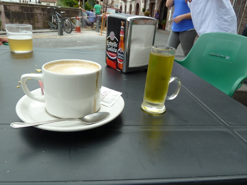
De regreso a casa paradita en Elizondo para tomar café y chupito de hierbas pues hoy ha habido monte nuevo el Burga.

EL TRAK. PINCHAR PARA VER
SI NO SE VEN LAS FOTOS PINCHAR AQUÍ
Aparcamos junto a los contenedores de la basura donde hay este letrero.
Photo Sharing and Video Hosting at Photobucket

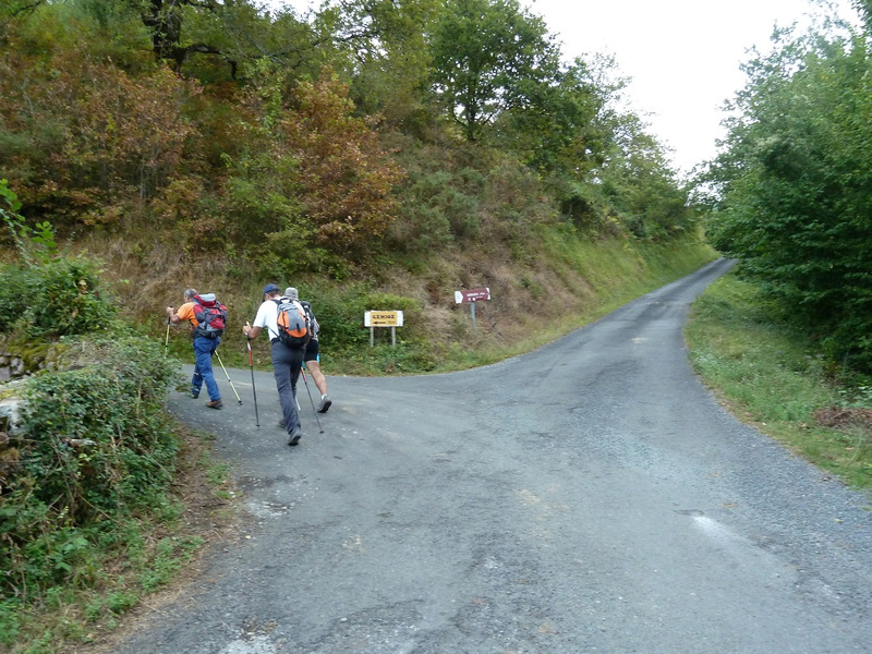
Seguimos la carretera aquí por la izquierda.
Photo Sharing and Video Hosting at Photobucket

Mirada.
Photo Sharing and Video Hosting at Photobucket

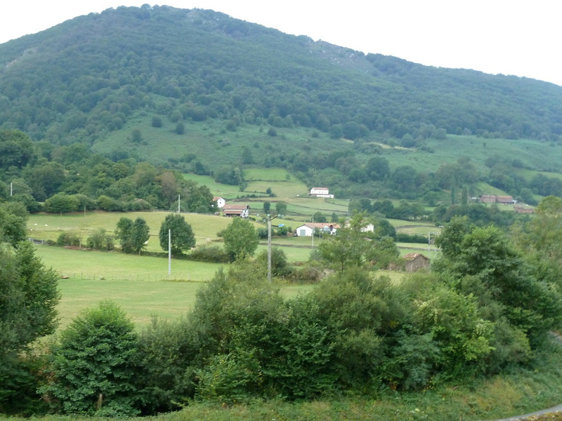
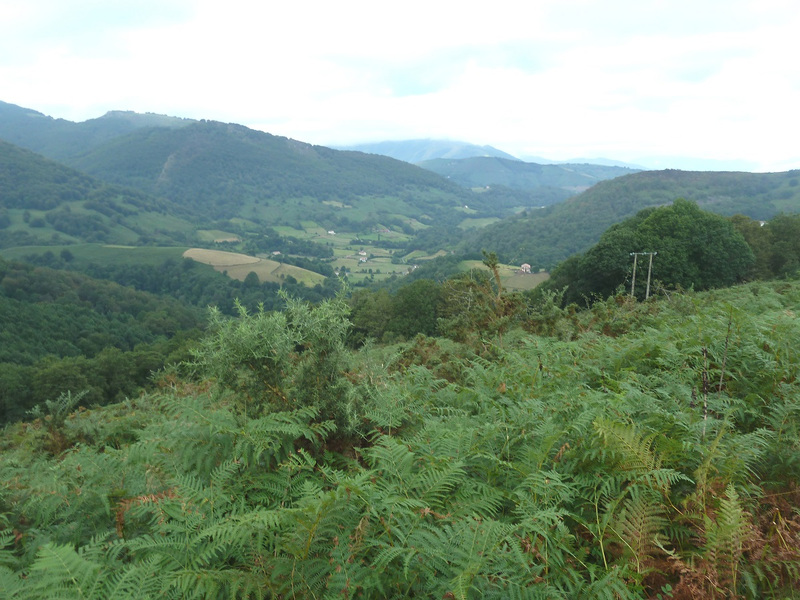
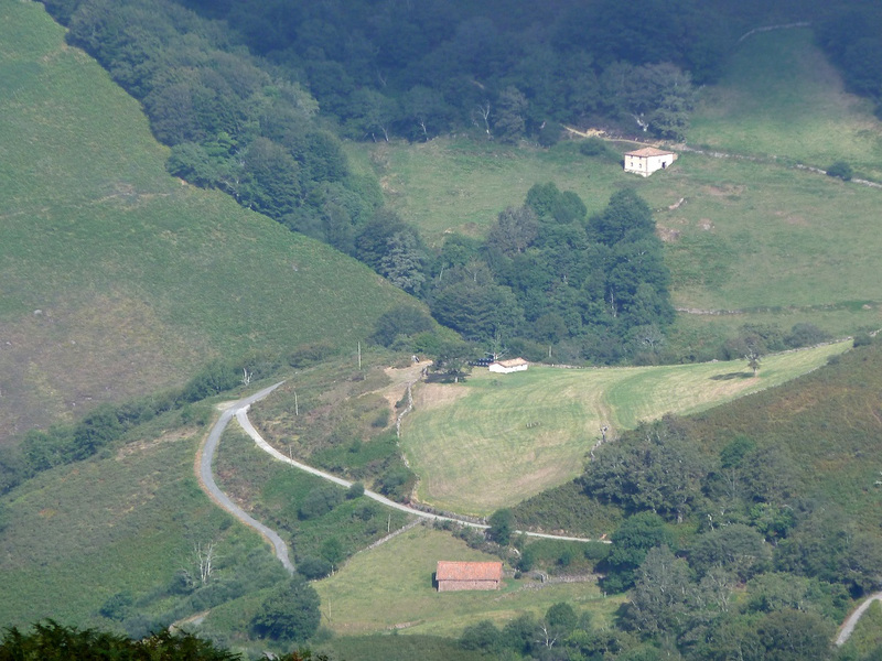
Mirada al valle.
Photo Sharing and Video Hosting at Photobucket

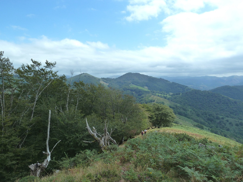
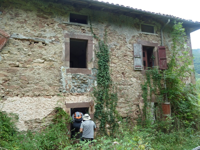
Pasamos junto a las ruinas de lo que fue cuartel de la guardia civil.
Photo Sharing and Video Hosting at Photobucket

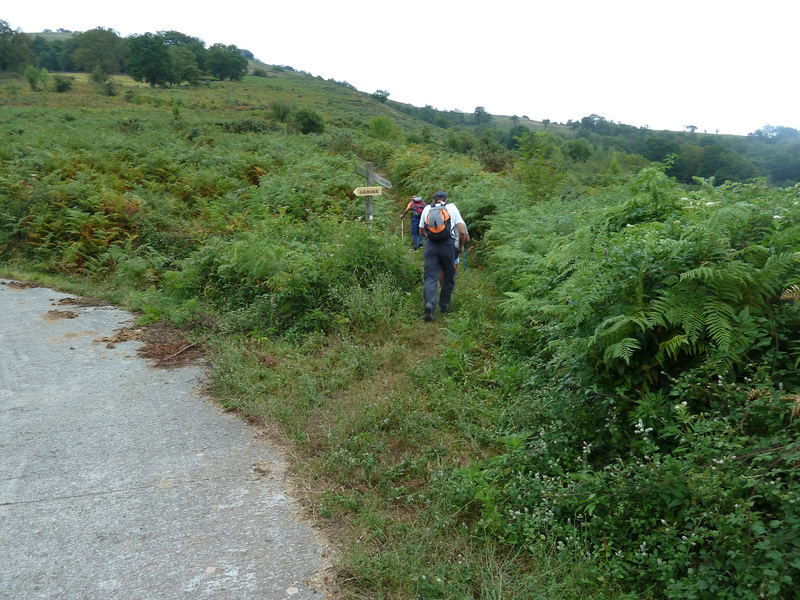
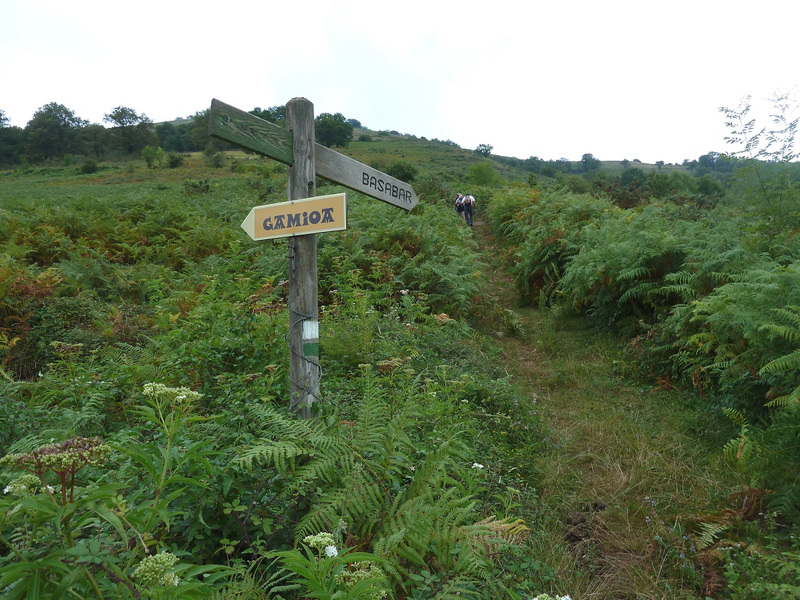
Aquí dejamos la pista y tomamos el SL.NA Basabar.
Photo Sharing and Video Hosting at Photobucket

Photo Sharing and Video Hosting at Photobucket

Photo Sharing and Video Hosting at Photobucket

Mirada al valle.
Photo Sharing and Video Hosting at Photobucket

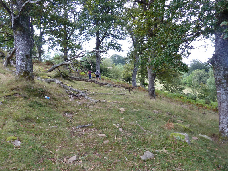
Seguimos en ascenso.
Photo Sharing and Video Hosting at Photobucket

Photo Sharing and Video Hosting at Photobucket

Photo Sharing and Video Hosting at Photobucket

Photo Sharing and Video Hosting at Photobucket

Llegando al Cdo Basabar.
Photo Sharing and Video Hosting at Photobucket

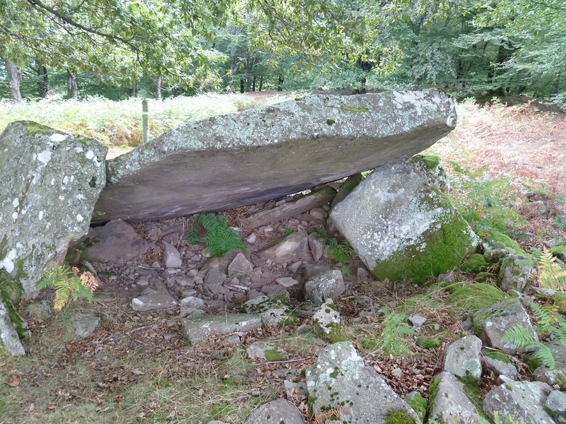
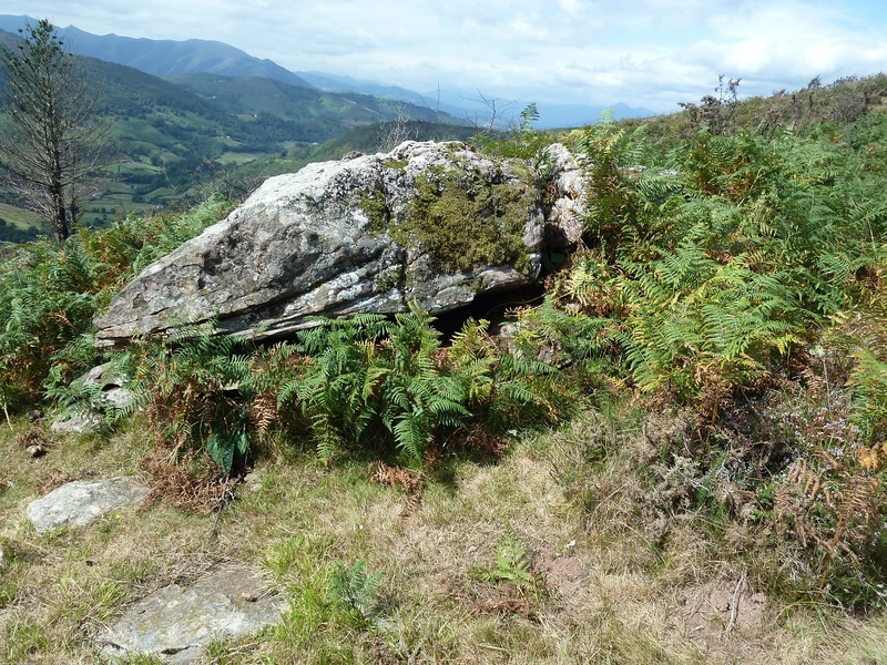
Dolmen Lamizilo.
Photo Sharing and Video Hosting at Photobucket

Dolmen Errolan.
Photo Sharing and Video Hosting at Photobucket

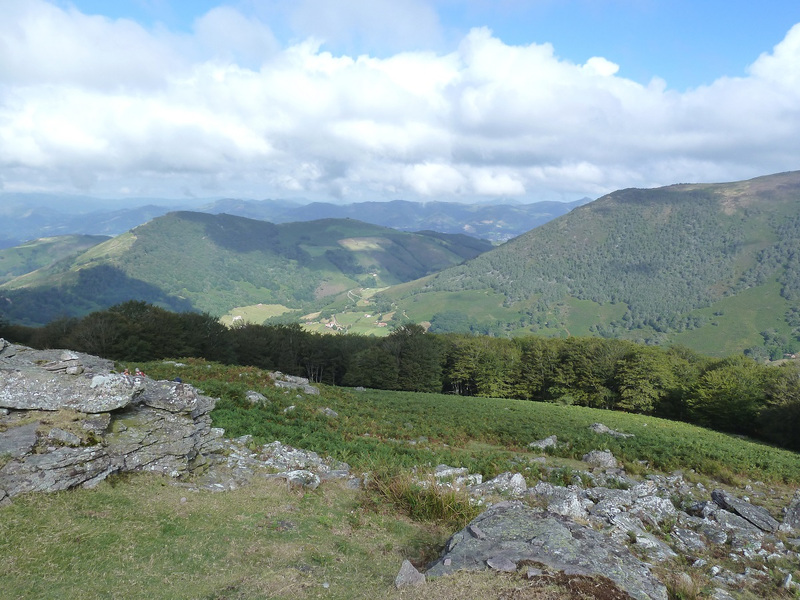
Mirada.
Photo Sharing and Video Hosting at Photobucket

Vamos llegando al Cdo Pagozelay.
Photo Sharing and Video Hosting at Photobucket

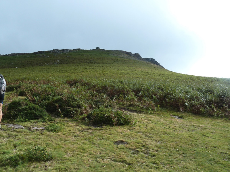
Llegamos, arriba la cima de Argañeta.
Photo Sharing and Video Hosting at Photobucket

Mirada atrás.
Photo Sharing and Video Hosting at Photobucket

Muga nº 113
Photo Sharing and Video Hosting at Photobucket

Estas estaban donde la cima.
Photo Sharing and Video Hosting at Photobucket

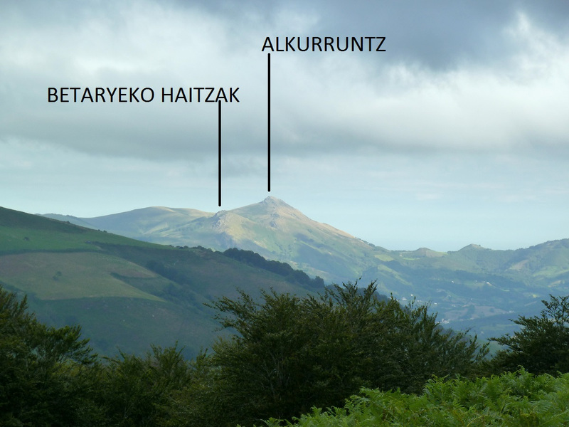
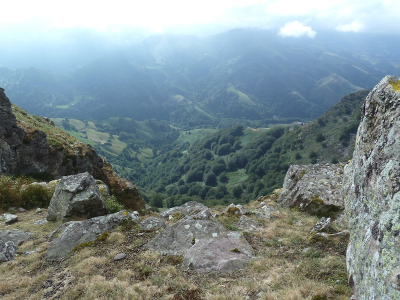
Mirada al Valle de Alduides.
Photo Sharing and Video Hosting at Photobucket

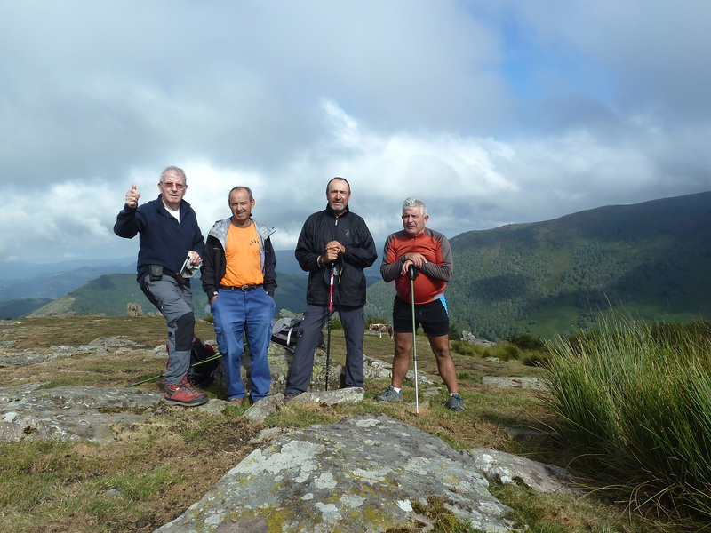
Con Lucio,Juan y Fernando en la cima de Argañeta.
Photo Sharing and Video Hosting at Photobucket

Un Zoom a la entrada del valle de Iñarbegi.
Photo Sharing and Video Hosting at Photobucket

Ahora sin Zoom.
Photo Sharing and Video Hosting at Photobucket

Estaba muy nublado y no se veía mucho.
Photo Sharing and Video Hosting at Photobucket

Photo Sharing and Video Hosting at Photobucket

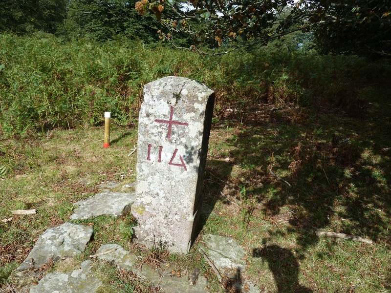
Pasamos junto a este Mugarri.
Photo Sharing and Video Hosting at Photobucket

Ahí queda Argañeta.
Photo Sharing and Video Hosting at Photobucket

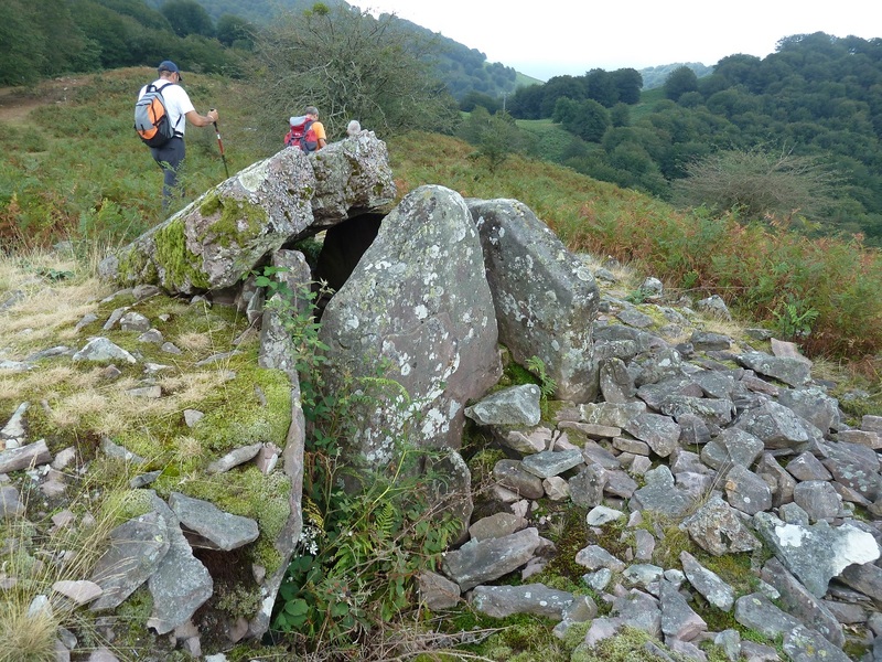
Pasamos junto a este otro Dolmen que no se que nombre tiene.
Photo Sharing and Video Hosting at Photobucket

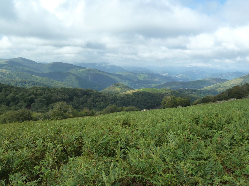
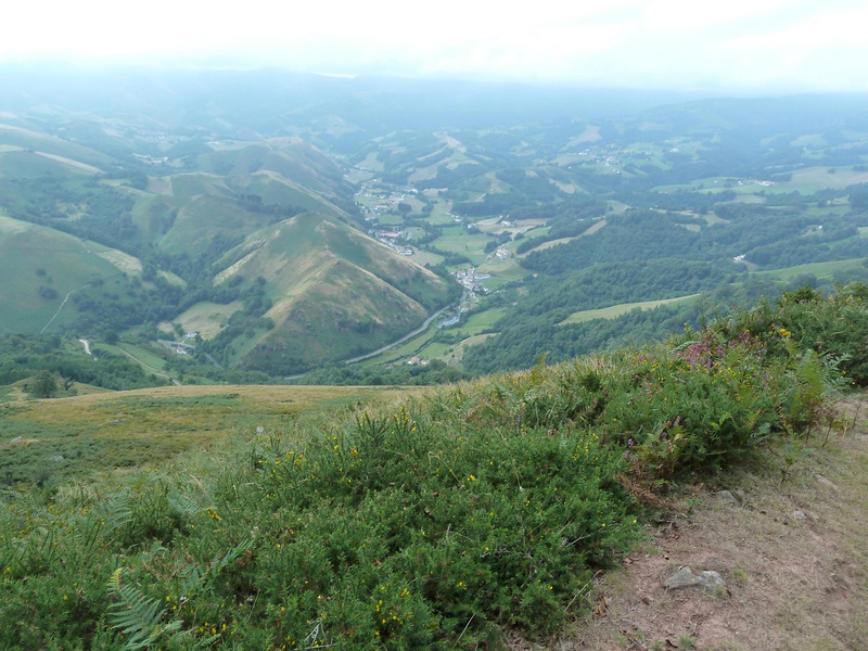
Mirada al Valle de Aldudes.
Photo Sharing and Video Hosting at Photobucket

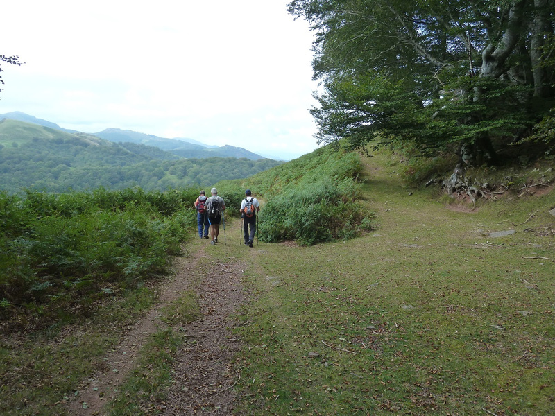
seguimos las marcas del GR.
Photo Sharing and Video Hosting at Photobucket

bajamos donde está el Mugarri nº 117.
Photo Sharing and Video Hosting at Photobucket

Llegamos.
Photo Sharing and Video Hosting at Photobucket

Pasamos junto a la casa rural Urruska.
Photo Sharing and Video Hosting at Photobucket

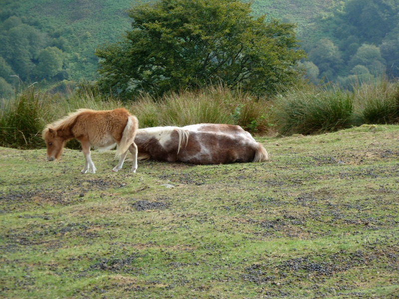
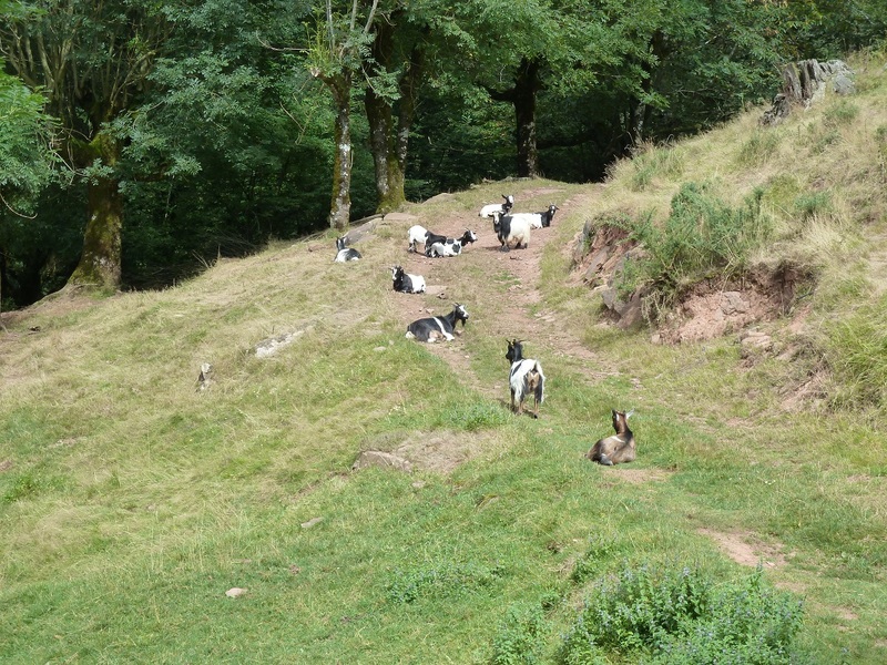
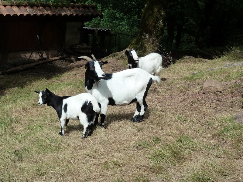
Cabras en el sendero.
Photo Sharing and Video Hosting at Photobucket

Que bonitas.
Photo Sharing and Video Hosting at Photobucket

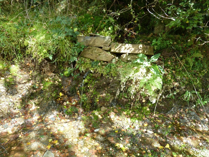
Fuente en el camino.
Photo Sharing and Video Hosting at Photobucket

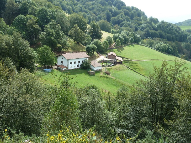
La casa Rural Urruska.
Photo Sharing and Video Hosting at Photobucket

Miradas.
Photo Sharing and Video Hosting at Photobucket

Photo Sharing and Video Hosting at Photobucket

Photo Sharing and Video Hosting at Photobucket

Photo Sharing and Video Hosting at Photobucket

Dolmen de Basabar.
Photo Sharing and Video Hosting at Photobucket

Miradas.
Photo Sharing and Video Hosting at Photobucket

Photo Sharing and Video Hosting at Photobucket

Photo Sharing and Video Hosting at Photobucket

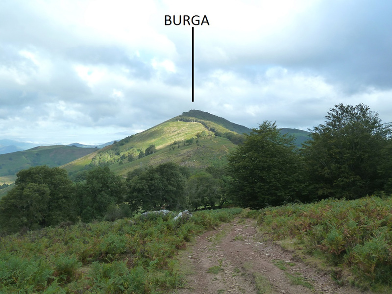
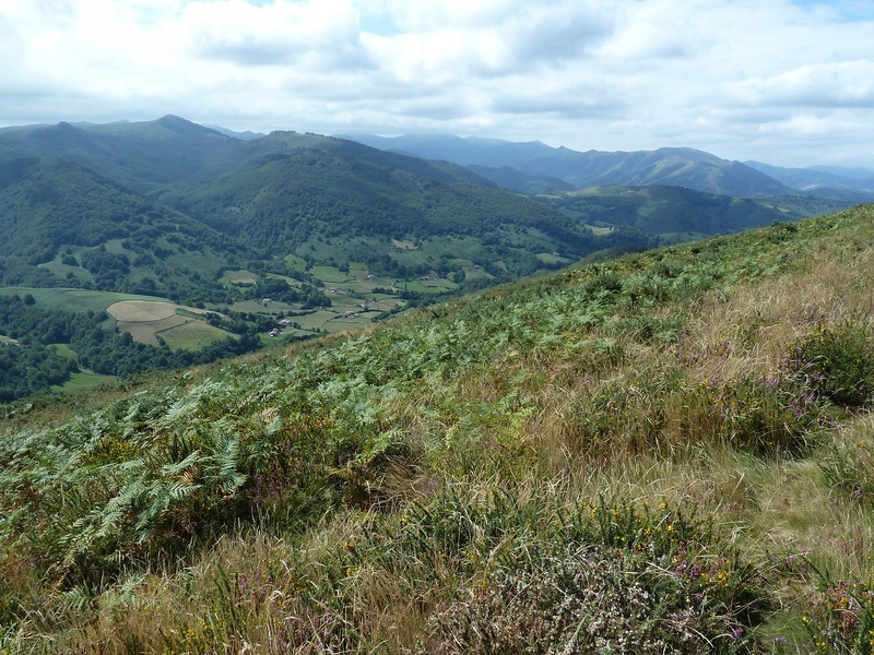
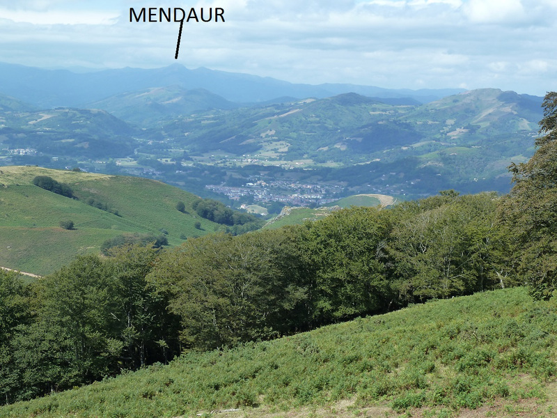
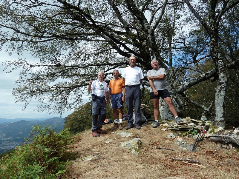
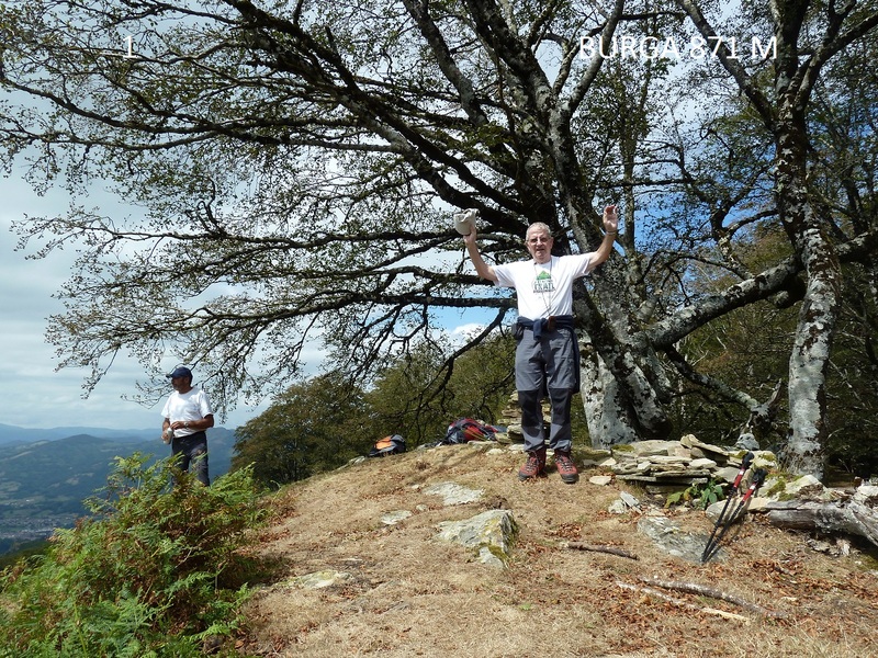
En la cima de Burga.
Photo Sharing and Video Hosting at Photobucket

Photo Sharing and Video Hosting at Photobucket

Bajamos.
Photo Sharing and Video Hosting at Photobucket

Ruinas de la escuela de Beartzun.
Photo Sharing and Video Hosting at Photobucket

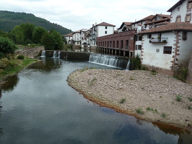
En Elizondo.
Photo Sharing and Video Hosting at Photobucket

Como la cima de Burga ha sido nueva para mi, Café y Txupito.
Photo Sharing and Video Hosting at Photobucket