domingo, 27 de septiembre de 2015

LARUN KDD CON LA FAMILIA MENDIAK.NET

Sábado 26-09-2015
Hola amigos.
Hoy he estado en una KDD organizada por la familia Mendiak.net con ascensión al monte Larun, esta excursión la propusieron Txemifrodo y Miranda. Nos hemos juntado en el parkin Oleta de Askain.

ACCESO Desde Pamplona vamos hasta Bera de Bidasoa y allí tomamos la carretera por el Col de Ibardin y al terminar de bajar hacia Francia tomamos a la derecha la carretera hacia Askain, pasado el Barrio de Olhete se encuentra el Hotel Trabernia ahí tomamos a la derecha la carretera que en medio kilómetro nos deja en el parkin de Oleta.

ITINERARIO
PARKIN DE OLETA 93 M
CIMA DE SUGIZEAGA 568 M
CIMA DE LARUN TXIKI 700 M
CIMA DE LARUN 900 M
DESNIVEL ACUMULADO 850 M
DISTANCIA 12 KM
TIEMPO TOTAL 6 HORAS
TIEMPO EN MOVIMIENTO 5 HORAS

DESCRIPCIÓN
Nos juntamos a las 9 de la mañana en el parkin y tras los saludos de rigor nos ponemos en marcha saliendo un poco del parkin para por un puente de madera cruzar el río, llegamos a la altura de un refugio que es el de la primera etapa del la GR-10.Seguimos el sendero hasta llegar a un collado y por la izquierda en fuerte subida llegamos a la cima de Sugizeaga.

Ahora regresamos al camino y emprendemos la subida a Larun Txiki , llegados a la cima nos hacemos foto y bajamos hasta un lugar donde hay unas piedras talladas y de aquí siguiendo el sendero emprendemos la fuerte subida de 200 m de desnivel por un sendero a la izquierda de las antenas, yo no había subido por ahí es un poco pino.

Llegados a la cima foto de rigor y almorzamos. Ahora regresamos por el camino que sube de Sara, se cruza la vía del trén y haciendo varias revueltas llegamos donde el sendero de la GR-10 que por la izquierda lo seguimos y antes de llegar al aparcamiento tomamos un atajo por la izquierda en fuerte descenso, ( se puede evitar siguiendo la pista) y salimos otra vez a la GR-10 y así llegamos al aparcamiento.

Aquí ya me despido de los compañeros y regreso a casa haciendo una parada en Bera de Bidasoa para tomar un café.

NOTA. Dar las gracias a Txemi y a Miranda por preparar esta bonita ruta que he disfrutado mucho con la buena compañía que he marchado.

EL TRAK PINCHAR PARA VER


NOS JUNTAMOS EN EL APARCAMIENTO
INICIAMOS LA MARCHA

REFUGIO DE LA GR 10

KONTXI HACIENDO AMIGOS
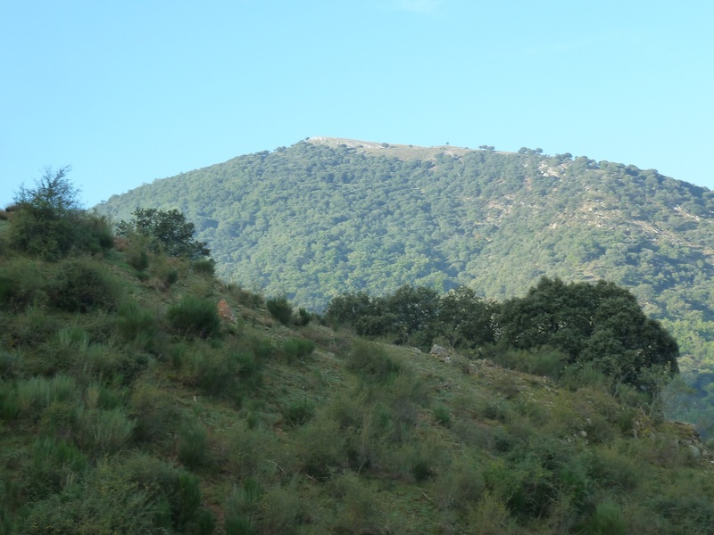
YA VEMOS EL LARUN
ENTRAN LAS NIEBLAS
MIRADA
MUGA INTERNACIONAL
EN PLENO ESFUERZO
MIRADAS

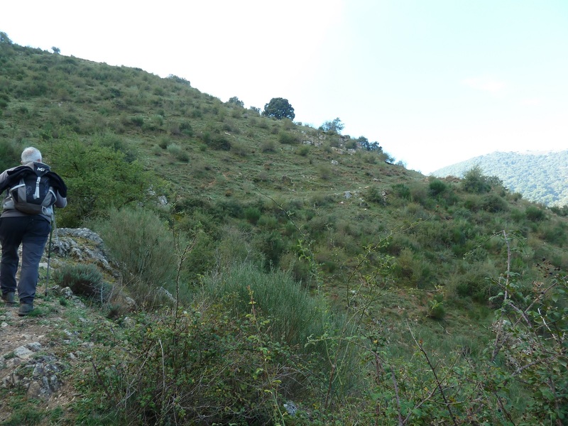
AHÍ VAMOS
MIRADA
OTEANDO
EN LA CIMA DE SUGIZTEAGA
SEGUIMOS


LARUN TXIKI
EL GRUPO
SUBEN LAS NIEBLAS


MI NIETA AMAIA ME HA DICHO QUE DICE SONRISA LARGA LLANTO CORTO

BELTRI


AHORA A LA CIMA


MUGA INTERNACIONAL
UN DESCANSO
AHÍ HEMOS ESTADO
NIEBLAS 
EL GRUPO EN EL LARUN
PEÑAS DE AYA
EL TREN
EL TREN SE VA
EL HAMAIKETAKO

MIRADA
CURIOSIDAD
MIRADA

BAJAMOS

AHÍ HEMOS ESTADO

LLEGANDO AL APARCAMIENTO.

miércoles, 23 de septiembre de 2015

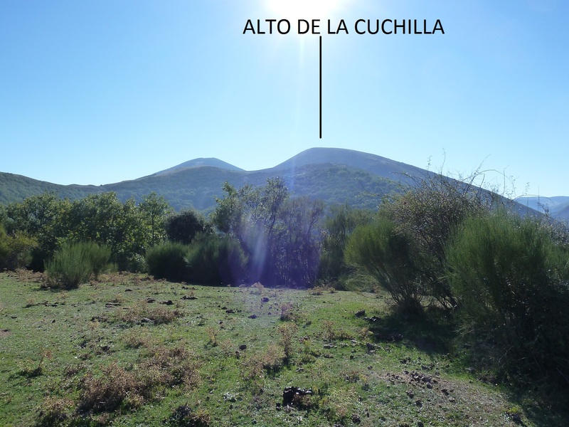
ALTO DE LA CUCHILLA 1725 M (RIOJA)

Martes 22-09-2015
Hola amigos.
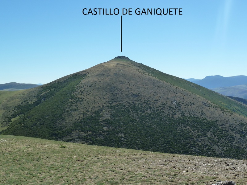
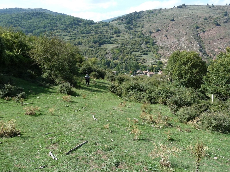
Hoy viendo que el tiempo pintaba chungo por el Norte y en Viniegra de Abajo en la Rioja pintaba bueno, ahí hemos marchado para hacer una circular subiendo a la cima del Alto de la Cuchilla de 1725 m.

ACCESO GUÍA MICHELÍN

ITINERARIO
APARCAMIENTO 885 M
CIMA DEL ALTO DE LA CUCHILLA 1725 M
DESNIVEL 840 M
DISTANCIA 14 KM
TIEMPO TOTAL 7 HORAS
TIEMPO CAMINANDO 6 HORAS
PONGO EL TRAK QUE HE LLEVADO PINCHAR PARA VER

SI NO SE VEN LAS FOTOS PINCHAR AQUÍ


DESCRIPCIÓN
Llegados a Viniegra de Abajo aparcamos casi al final del pueblo,llevaba un Trak para hacer esta ruta pero al poner en marcha el GPS me ha pasado lo de la otra vez en este mismo lugar lo pongo en marcha y cuando voy a poner el mapa se me apaga y esto es debido a que según me dijo el Forero de Mendiak Kasi el mapa de Topo Hispania de esta zona está con algún virus o algo parecido,menos mal que llevaba la descripción de la ruta y así hemos podido hacerla.

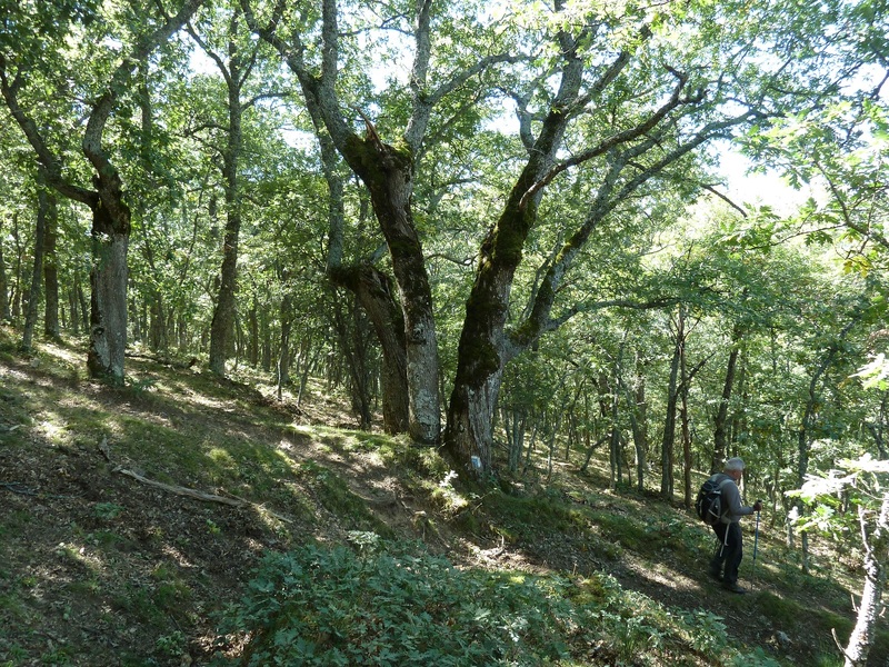
Lo único que voy ha decir pues en el Trak está bien descrita la ruta,es que el sendero lleva unas marcas azules y blancas que están en un poste nada más empezar la ruta y cuando las dejamos para subir a la cima, hay que bajar a encontrarnos con ellas para bajar al pueblo por un hermoso robledal.

Decir que nos ha gustado mucho la excursión y hemos disfrutado de un bonito día. En el sendero había un rebaño de ovejas y nos han salido dos mastines de aupa pero ni ha habido problemas. Llegados al pueblo cervecita para hidratar y para casa.

Subiendo miramos al pueblo.
Photo Sharing and Video Hosting at Photobucket

Photo Sharing and Video Hosting at Photobucket

Por ahí anduvimos en Agosto
Photo Sharing and Video Hosting at Photobucket

Vamos subiendo.
Photo Sharing and Video Hosting at Photobucket

Mirada abajo.
Photo Sharing and Video Hosting at Photobucket

Por esas montañas del fondo también hemos estado este año.
Photo Sharing and Video Hosting at Photobucket

Hermosos encinos.
Photo Sharing and Video Hosting at Photobucket

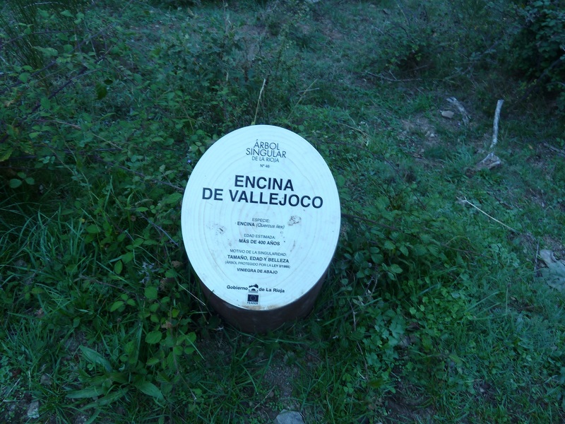
Este es de los más viejos.
Photo Sharing and Video Hosting at Photobucket

Aquí su carnet de identidad.
Photo Sharing and Video Hosting at Photobucket

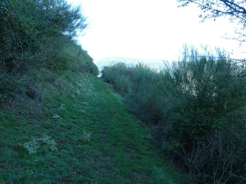
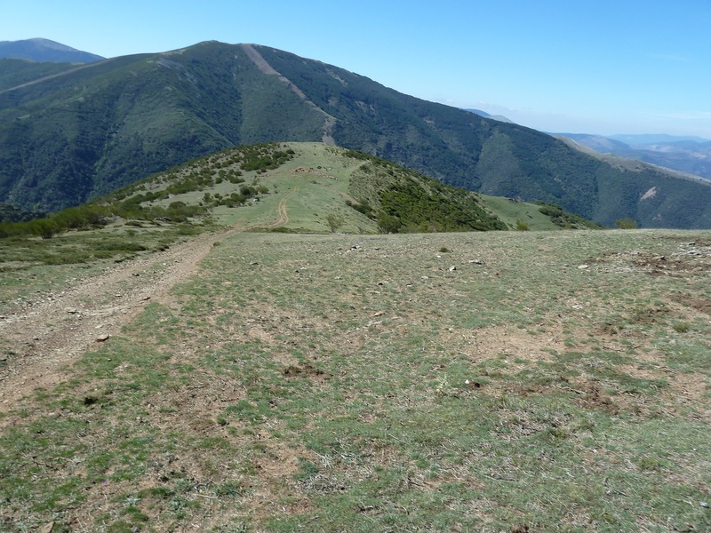
El sendero.
Photo Sharing and Video Hosting at Photobucket

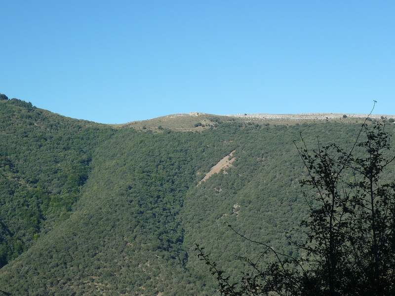
Esa cima es TEILO
Photo Sharing and Video Hosting at Photobucket

Vamos subiendo.
Photo Sharing and Video Hosting at Photobucket

Photo Sharing and Video Hosting at Photobucket

Photo Sharing and Video Hosting at Photobucket

Ahí enfrente estuvimos en Agosto.
Photo Sharing and Video Hosting at Photobucket

Photo Sharing and Video Hosting at Photobucket

Mirada.
Photo Sharing and Video Hosting at Photobucket

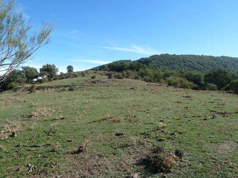
Salimos al raso.
Photo Sharing and Video Hosting at Photobucket

Ya vemos la cima.
Photo Sharing and Video Hosting at Photobucket

Miradas.
Photo Sharing and Video Hosting at Photobucket

Photo Sharing and Video Hosting at Photobucket

Ese pueblo es Ventrosa.
Photo Sharing and Video Hosting at Photobucket

Continuamos subiendo.
Photo Sharing and Video Hosting at Photobucket

Photo Sharing and Video Hosting at Photobucket

Esos puntos blancos es el rebaño de ovejas.
Photo Sharing and Video Hosting at Photobucket

El mastin se va después de ladrarnos el otro se marchó antes..
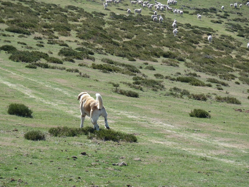
Photo Sharing and Video Hosting at Photobucket

Vamos subiendo.
Photo Sharing and Video Hosting at Photobucket

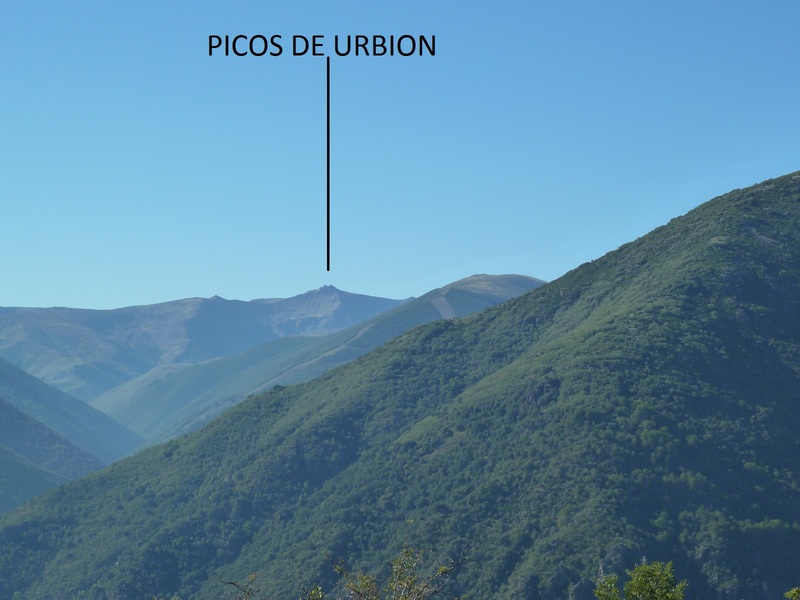
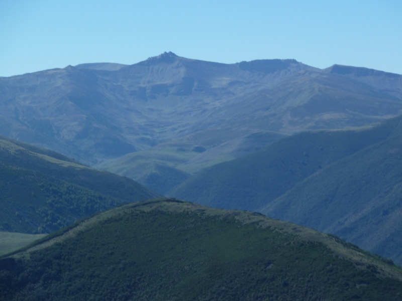
Un Zoom a los picos de Urbion.
Photo Sharing and Video Hosting at Photobucket

Este para una próxima excursión
Photo Sharing and Video Hosting at Photobucket

Y este.
Photo Sharing and Video Hosting at Photobucket

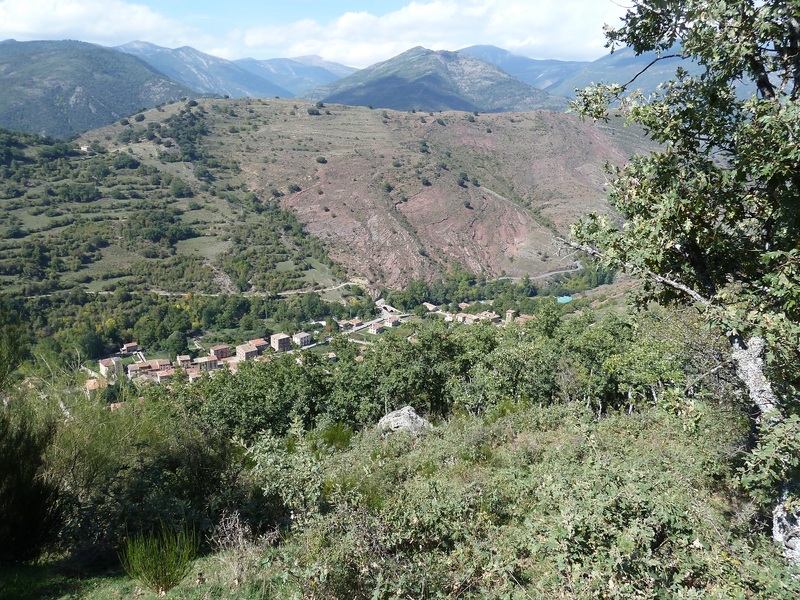
Abajo el pueblo de Ventrosa.
Photo Sharing and Video Hosting at Photobucket

Con Juan en la cima.
Photo Sharing and Video Hosting at Photobucket

Photo Sharing and Video Hosting at Photobucket

Mirada.
Photo Sharing and Video Hosting at Photobucket
Hemos ascendido por lo marcado en rojo y bajado por lo marcado en Verde.
Photo Sharing and Video Hosting at Photobucket

Photo Sharing and Video Hosting at Photobucket

Por lo marcado en verde hemos bajado aquí y luego...
Photo Sharing and Video Hosting at Photobucket

Hemos bordeado la montaña.
Photo Sharing and Video Hosting at Photobucket

Vamos bajando,
Photo Sharing and Video Hosting at Photobucket

Ahora por un bonito robledal.
Photo Sharing and Video Hosting at Photobucket

Photo Sharing and Video Hosting at Photobucket

Por ese sendero verde hemos pasado a la mañana.
Photo Sharing and Video Hosting at Photobucket

Llegando al pueblo.
Photo Sharing and Video Hosting at Photobucket

Photo Sharing and Video Hosting at Photobucket

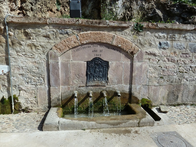
Fuente al lado del lavadero.
Photo Sharing and Video Hosting at Photobucket

Pongo un pequeño vídeo de la excursión.
PINCHAR PARA VER