Hola amigos.
Esta semana volvemos a Panticosa pueblo para hacer uha travesía de dos días ,el 1º de Panticosa a Bujaruelo por La Ripera y Cdo de La Tendenera yvalle de Otal y el 2º de Bujaruelo al balneario de Panticosa por la GR-11.
ACCESO GUÍA MICHELÍN
ITINERARIO
APARCAMIENTO 1157 M
CABAÑA DE LA RIPERA 1522 M
CDO DE LA TENDENERA 2338 M
CABAÑA DE OTAL 1621 M
BUJARUELO 1338 M
DESNIVEL DE SUBIDA 1181 M
DESNIVEL DE BAJADA 1000 M
DISTANCIA 23,46 KM
TIEMPO EN MOVIMIENTO 8,53 HORAS
DESCRIPCIÓN
Llegados a Panticosa con un día un poco gris, nos ponemos en marcha por detrás de la telecabina siguiendo el PR-HU 95 , así llegamos a la pista de La Ripera donde nos llueve un poco pero para enseguida. Caminamos todo el valle de La Ripera que es precioso y cuando llegamos al fondo tomamos un sendero a mano izquierda que tiene marcas de GR y en ascenso nos lleva por encima de la cascada de Ripera que hoy baja poca agua.
Seguimos y pasamos junto a un pequeño refugio y así en continuo ascenso llegamos al Cdo de La Tendenera donde el día ha mejorado mucho. Bajamos hacia el bonito valle de Otal y hacemos una parada para comer. Después de comer empiezan mis desgracias,al levantarme me da un lumbago y penosamente he podido llegar al refugio de Bujaruelo. Ya en el refugio sopeso que no voy a poder hacer la travesía de mañana.
Después de descansar me levanto y a las 7 el desayuno muy bueno por cierto, mis compañeros se van a la travesía y yo hacer dedo y un ganadero me baja a Torla y en Torla haciendo dedo he tenido la suerte de que dos montañeros que eran ingleses me han parado y ha resultado que marchaban a Panticosa y me han llevado hasta donde tenía el coche.
He subido al Balneario donde he pasado la mañana paseando un poco y así esperando a mis amigos. Cuando han venido hemos regresado.
NOTA. Tengo que decir que el personal del refugio de Bujaruelo es muy amable se esmeran en el servicio y en la atención, yo he salido muy satisfecho, lo recomiendo.
EL TRAK. PINCHAR PARA VER
Decir que he seguido la Gr bajando al Valle de Otal mucho trozo pero luego la he dejado para bajar al derecho por sendas de ganado un poco estilo jabalí.
SI NO SE VEN LAS FOTOS PINCHAR AQUÍ
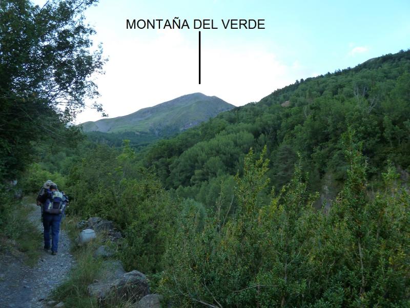
Esta montaña es lo primero que se ve.
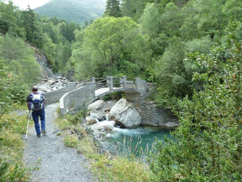
Pasamos el puente La Zocha.
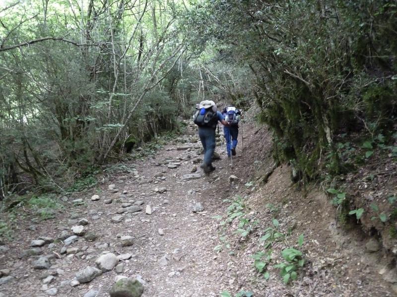
El sendero.
Sale el Arcoiris.
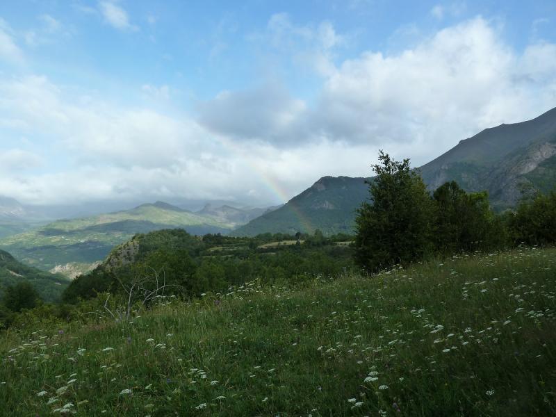
Está todo verdísimo.
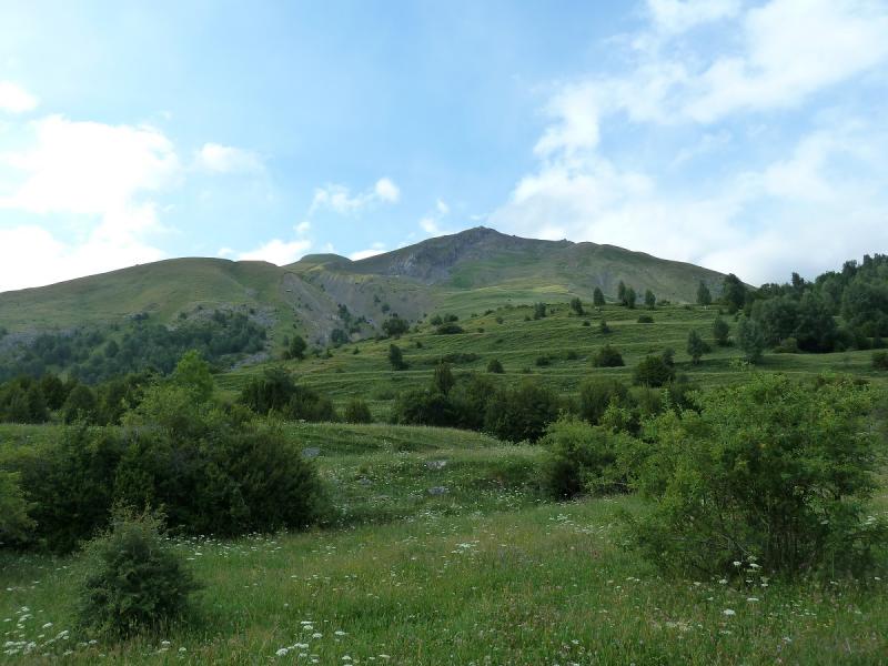
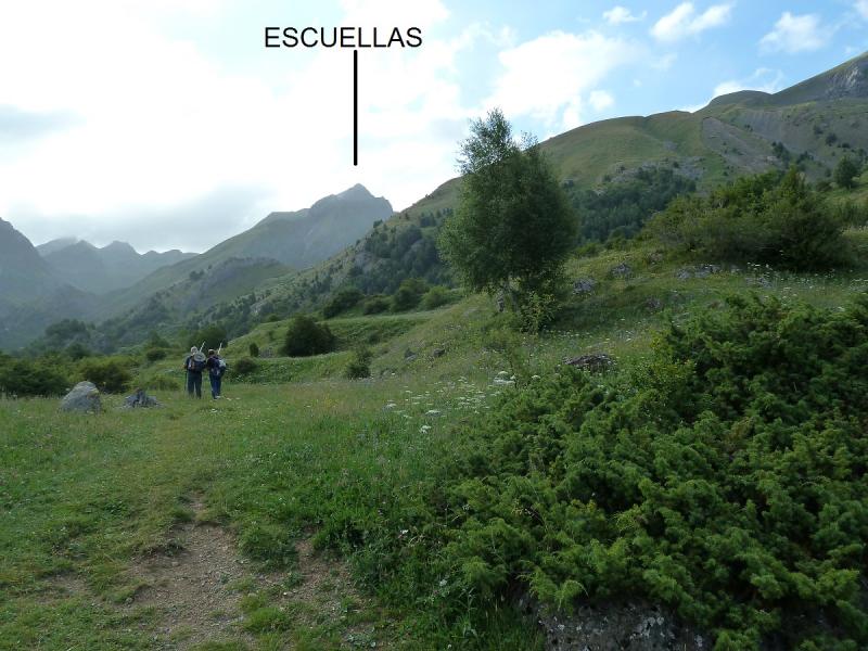
El Ecuellas majestuoso.
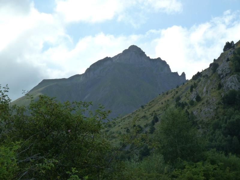
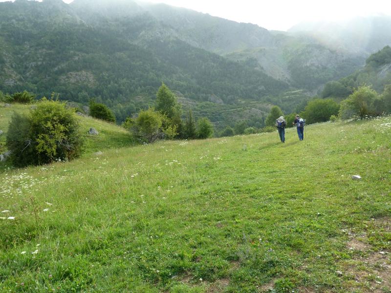
El día un poco gris.
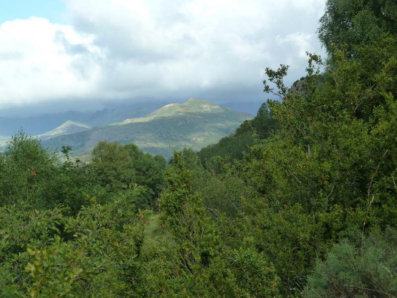
La pista de La Ripera.
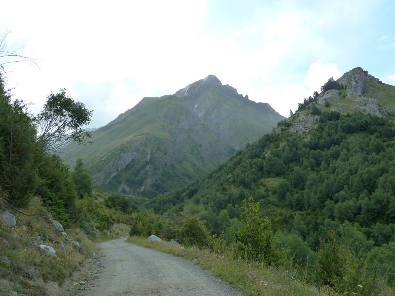
Una mirada a la montaña DEl Verde.
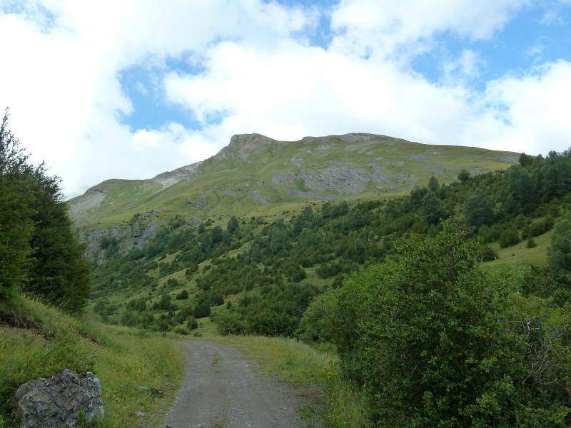
El valle de Ripera.
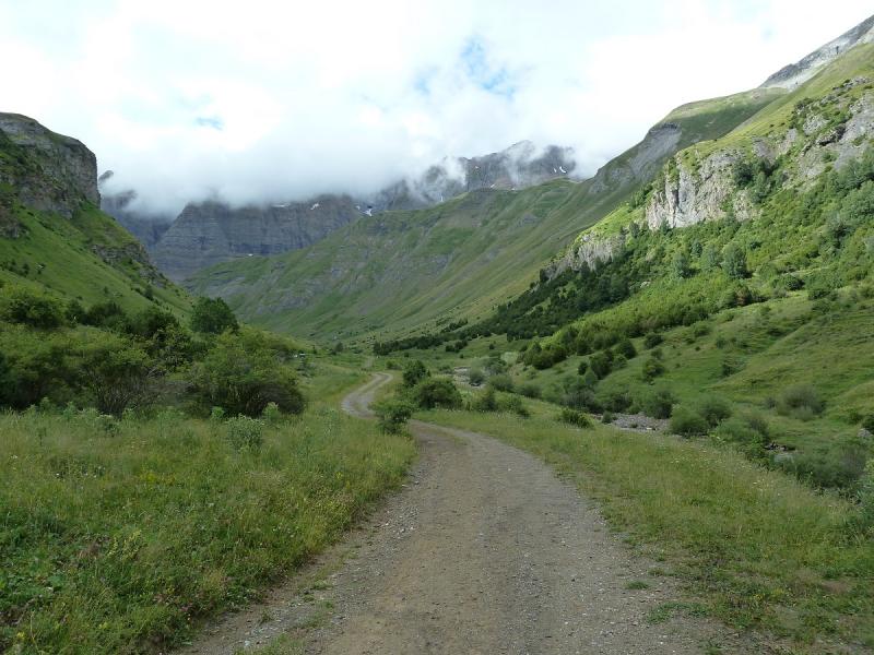
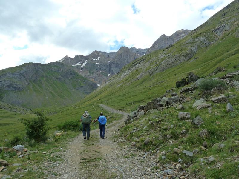
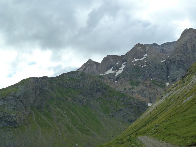
Mirada atrás.
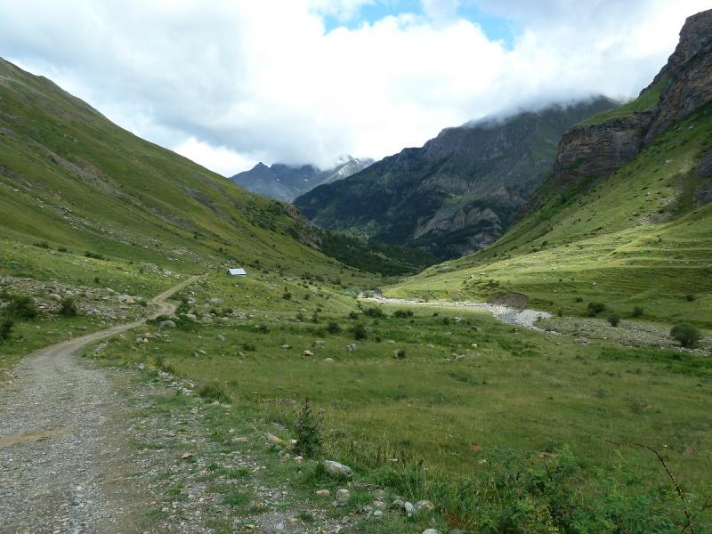
Cascada de La Ripera,tenemos que pasar por encima.
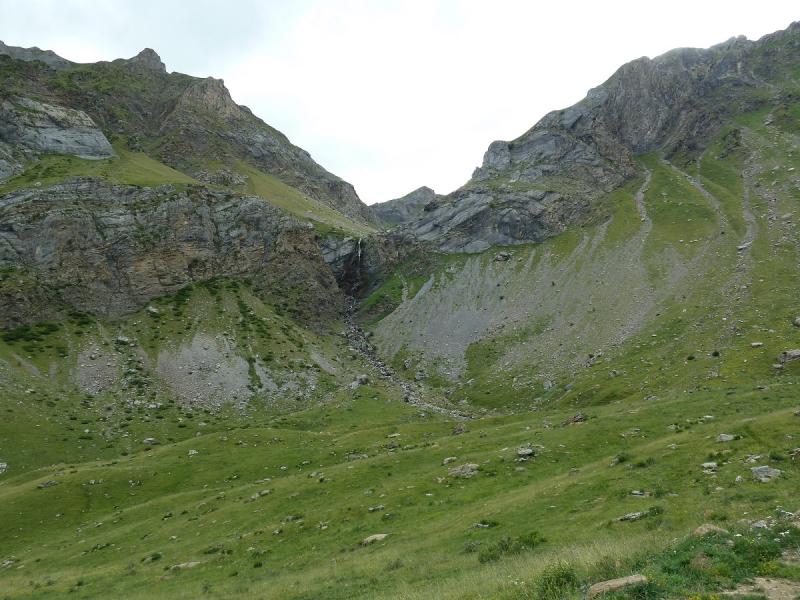
Superada la cascada mirada atrás,el día mejora.
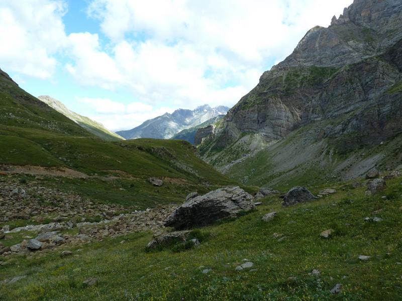
Ahí abajo queda el Valle de La Ripera.
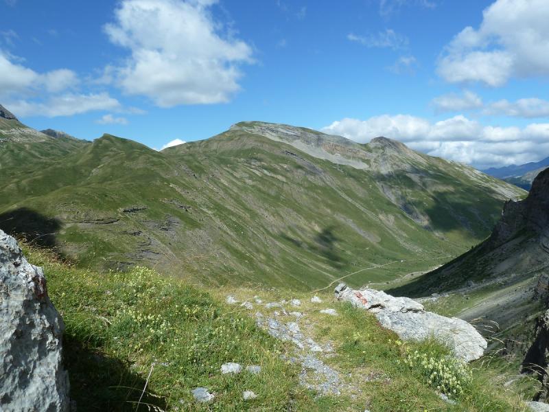
Nosotros para arriba.
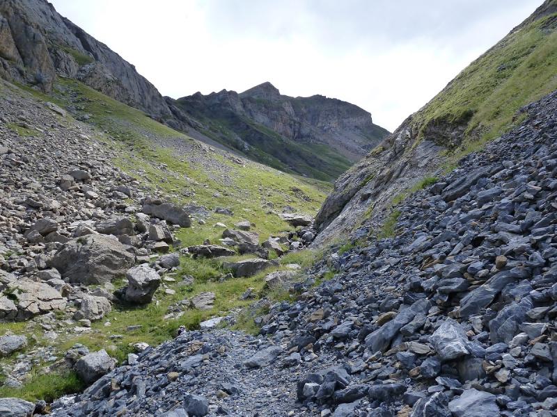
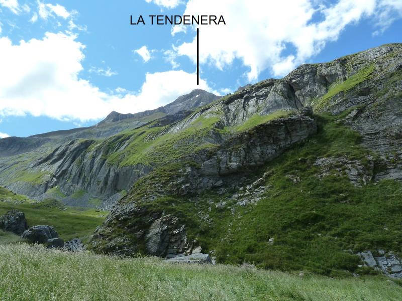
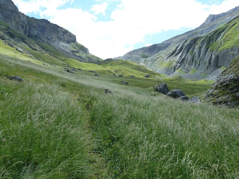
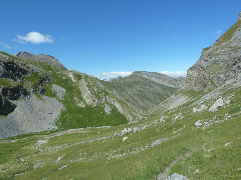
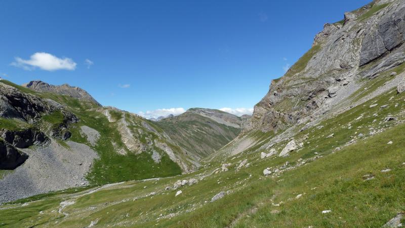
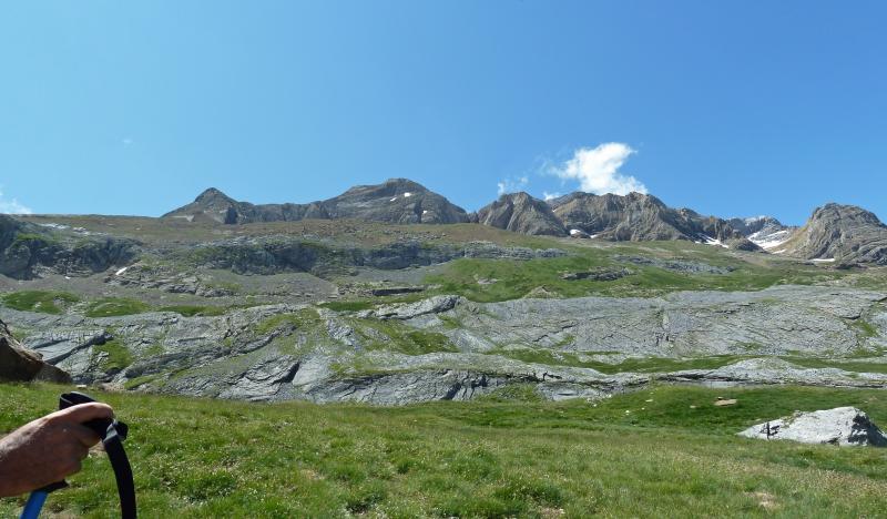
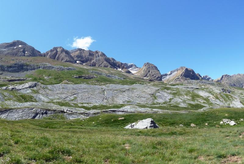
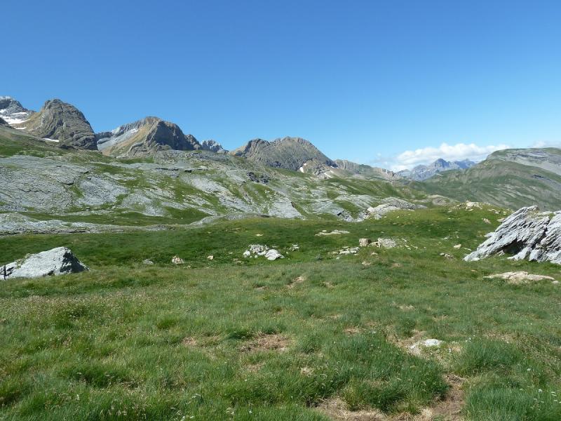
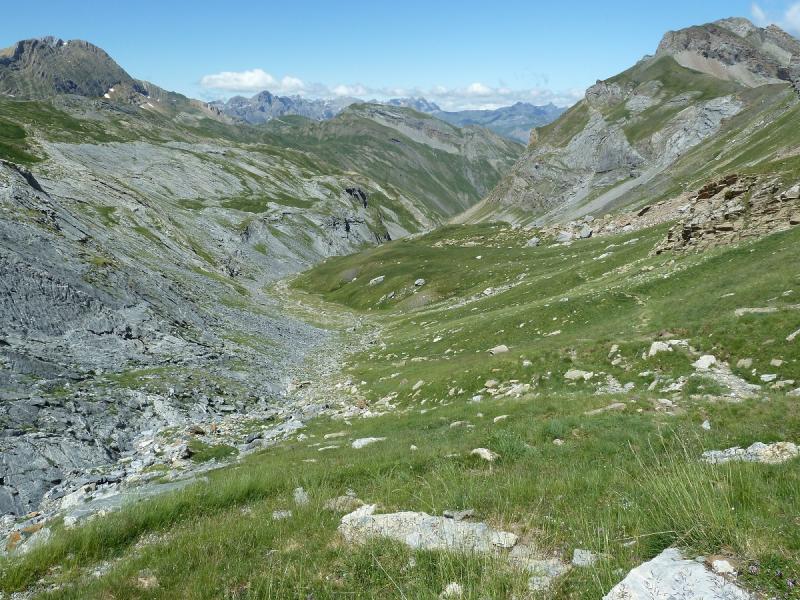
Miradas
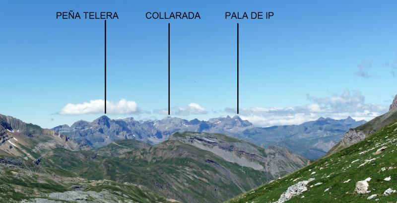
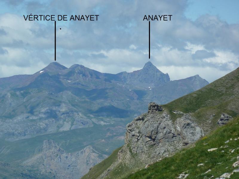
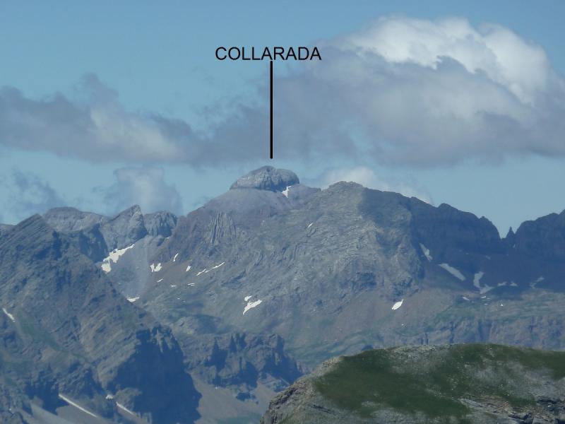
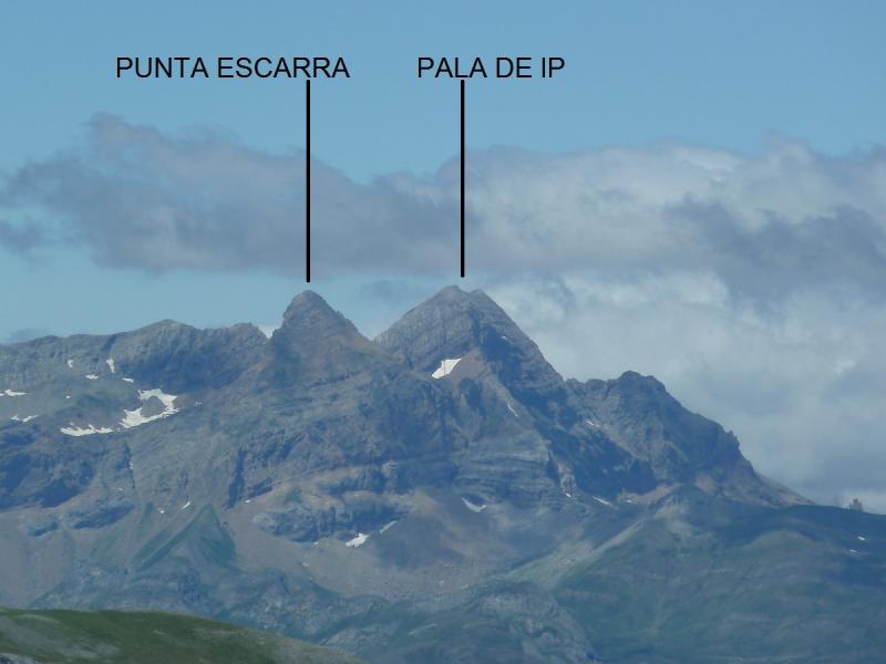
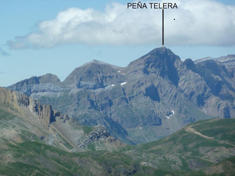
Bajamos hacia el valle de Otal.
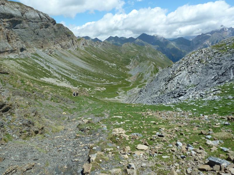
Su pico.
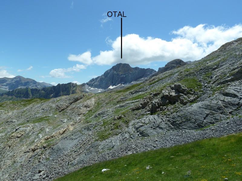
Ahí queda el Cdo La Tendenera.
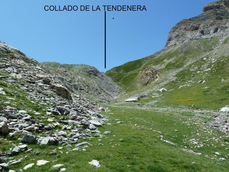
El binito valle de Otal.
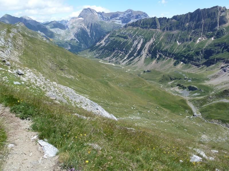
Ahí arriba la cima de La Tendenera.
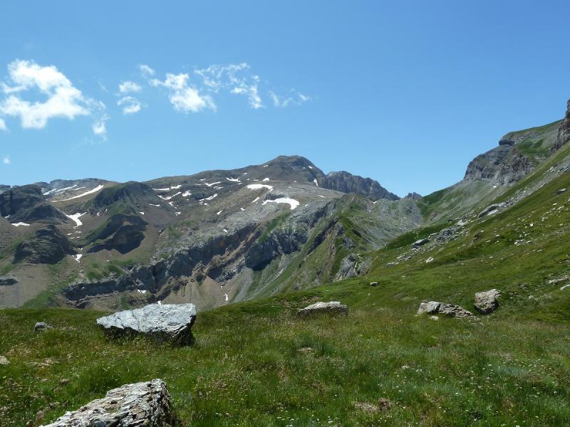
Otra del Otal.
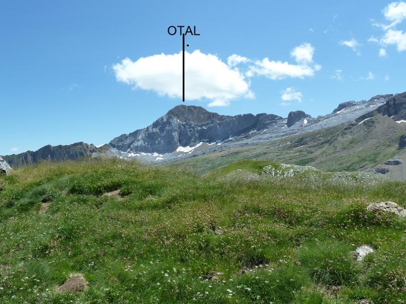
Vamos bajando
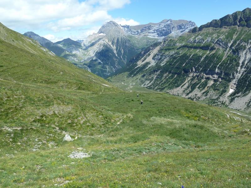
Llegamos a la cabaña de Otal.
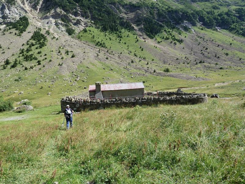
Una mirada atrás.
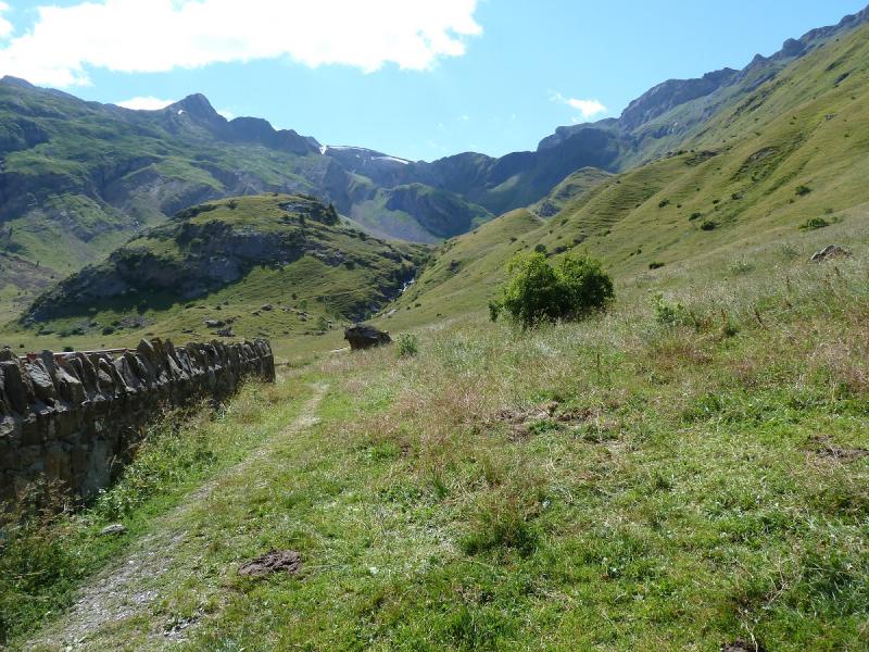
Otra.
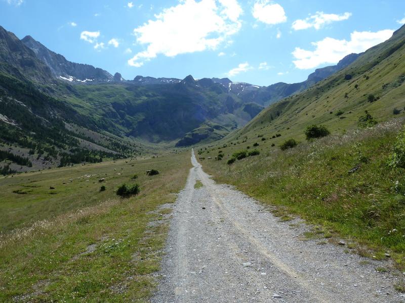
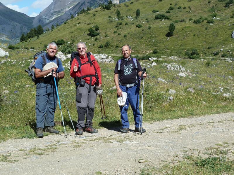
Aquí el trío.
Mirada.
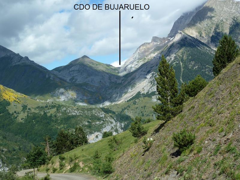
Llegamos a Bujaruelo.
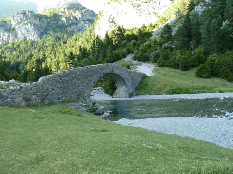
Ahora unas foticos de el 2º día en el Balneario de Panticosa
Subiendo al Balneario.
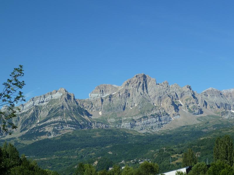
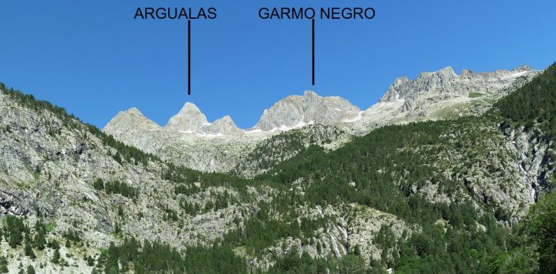
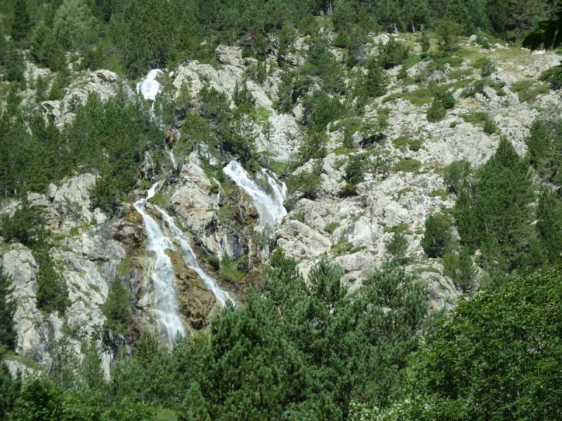
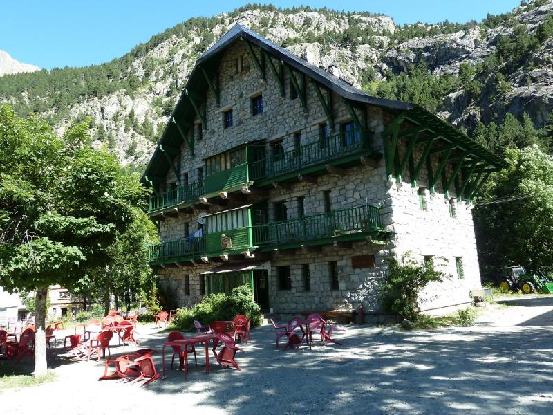
Esto es lo mejor que hay en el Balneario La Casa de Piedra.
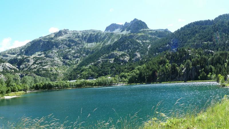
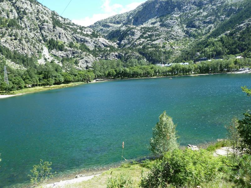
El Lago.
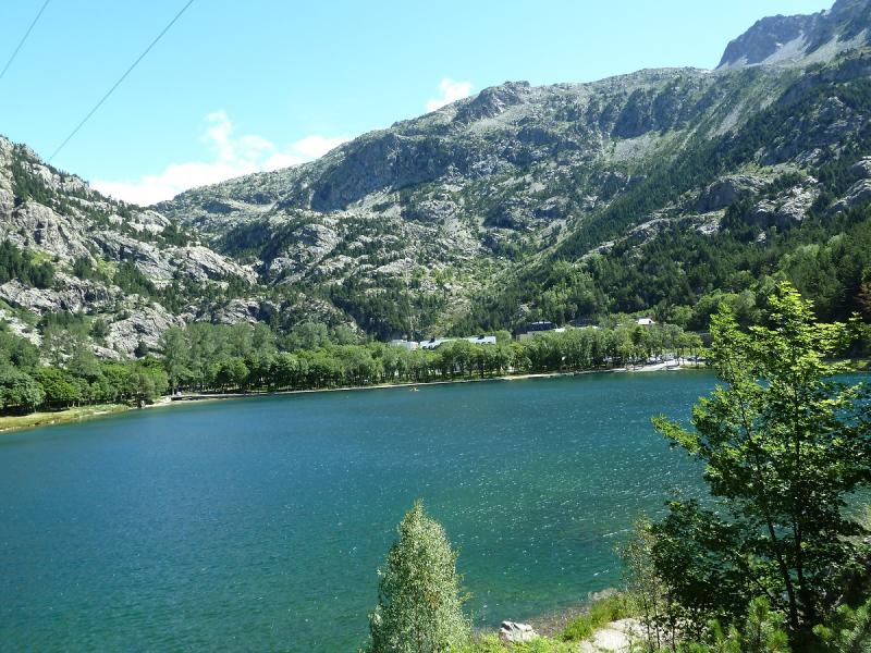
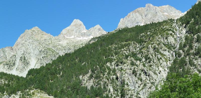
Y sus montañas.
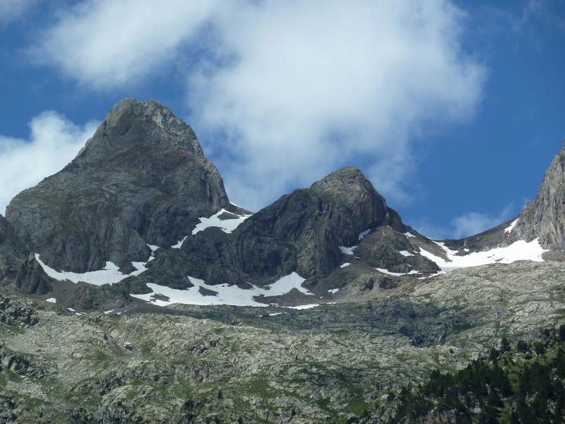
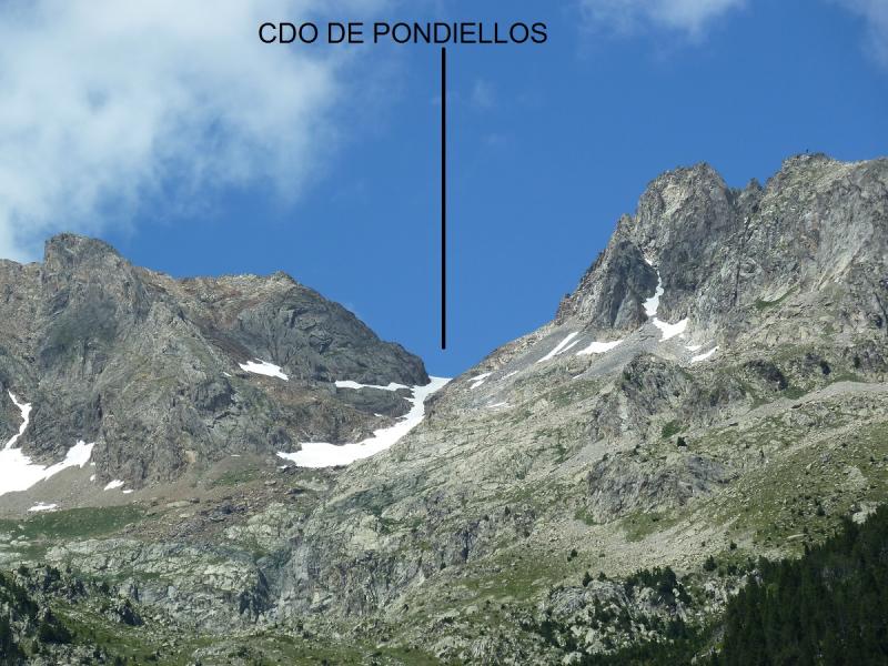
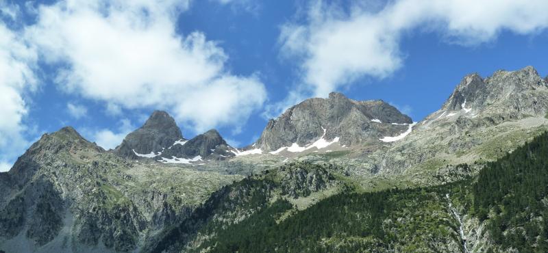
Pongo el enlace a un pequeño vídeo.
PINCHAR PARA VER

Aupa Xabier,que travesia mas bonita habeis echo,yo tengo ganas de pasar por el collado de pondiellos,pero para subir a los Infiernos,que hace tiempo que lo tengo pendiente.Un saludo,y a disfrutar este verano en la montaña.
ResponderEliminarAupa Imanol.Yo hace muchos años subí a los Infiernos por ese collado y bajé por los lagos azules una circular muy chula te gustará. Gracias por el comentario y la visita.
ResponderEliminarUn saludo.
Aupa Imanol.Yo hace muchos años subí a los Infiernos por ese collado y bajé por los lagos azules una circular muy chula te gustará. Gracias por el comentario y la visita.
ResponderEliminarUn saludo.